2000s (21st Century) Maps of Lyon County, Kansas
Explore 100 historic maps of Lyon County from the 2000s (21st Century). These maps offer a rare glimpse into what life looked like during the 2000s — showing old roads, neighborhoods, homes, and landmarks that have changed or disappeared over time.
Whether you're researching your family's past, planning a metal detecting trip, or studying how Lyon County's landscape evolved across the 2000s, these high-resolution maps are a powerful tool for exploring the history of this region.
- Focus on a specific era: All maps on this page are from the 2000s, giving you a focused view of this time period.
- See what’s changed: Compare century-old streets, trails, and buildings to today's modern landscape using overlays and satellite layers.
- Research with precision: Use these maps for genealogy, historical research, land use analysis, or educational projects.
- View, download, or print: Maps are fully viewable online in high resolution, and can be downloaded or printed for your own records.
Start exploring Lyon County's history through authentic maps from the 2000s. This is your window into the past.
Lyon County, KS maps
(100)- 2009 Map of Americus, 2009 Print
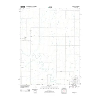 2009 Americus2009 Print · USGSLyon County at the turn of the millennium shows a landscape shaped by the winding Neosho River and a deep-rooted agricultural grid. Researchers can trace family history at the Dunlap Cemetery or study the early town layouts of Americus and Dunlap.
 - 2009 Map of Allen SW, 2009 Print
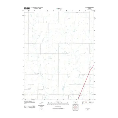 2009 Allen SW2009 Print · USGSLyon County at the turn of the millennium remains a landscape of deep-rooted rural heritage and steady agriculture. Genealogists and local researchers can locate several family landmarks across the plains, including Frost Cemetery, Rosean Cemetery, and the banks of Allen Creek.
 - 2009 Map of Emporia, 2009 Print
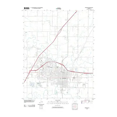 2009 Emporia2009 Print · USGSEmporia at the beginning of the millennium remains a vital university town defined by its river-valley geography. Genealogists and historians can trace the development of Berkeley Hills and Flint Hills Village, or locate family sites at Maplewood Cemetery and Sacred Heart Cemetery.
 - 2009 Map of Lang, 2009 Print
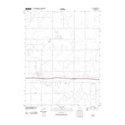 2009 Lang2009 Print · USGSLyon County at the dawn of the millennium shows a landscape defined by the winding Neosho River and a sturdy rural road network. Genealogists can trace family footprints through several local sites including Union Cemetery, Badger Creek Cemetery, and the settlement of Lang.
 - 2009 Map of Emporia SE, 2009 Print
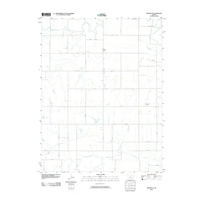 2009 Emporia SE2009 Print · USGSSoutheast of Emporia in the early 2000s, the rural Kansas landscape remained defined by its river confluences and section-line roads. Genealogists and local historians can locate burial sites at Chicago Mound Cemetery and Mennonite Cemetery or trace the winding banks of the Neosho River and Eagle Creek.
 - 2009 Map of Allen SE, 2009 Print
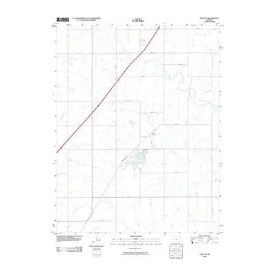 2009 Allen SE2009 Print · USGSEastern Lyon County is shown here in the early 21st century, defined by its expansive prairie drainage and rural section lines. Genealogists can locate Ivy Cemetery and Phillips Cemetery, or trace the winding path of One Hundred and Fortytwo Mile Creek.
 - 2009 Map of Allen, 2009 Print
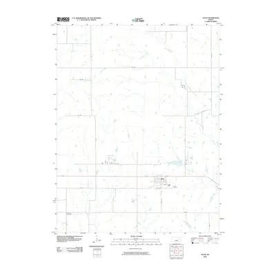 2009 Allen2009 Print · USGSThe small Kansas town of Allen is captured here in the early twenty-first century, surrounded by the expansive agricultural grid of Lyon County. Researchers can trace local heritage at Allen Cemetery or explore the drainage of One Hundred and Forty-two Mile Creek.
 - 2009 Map of Admire, 2009 Print
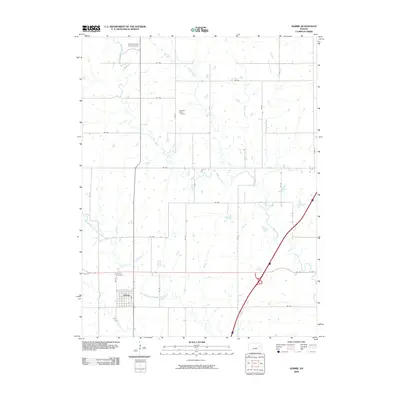 2009 Admire2009 Print · USGSAdmire and the surrounding Lyon County prairie are captured here in the early twenty-first century as a landscape of grid-line roads and winding creeks. Researchers can locate the Admire Cemetery, the Converse Farm Landing Strip, and the curiously named One Hundred and Fortytwo Mile Creek.
 - 2009 Map of Reading, 2009 Print
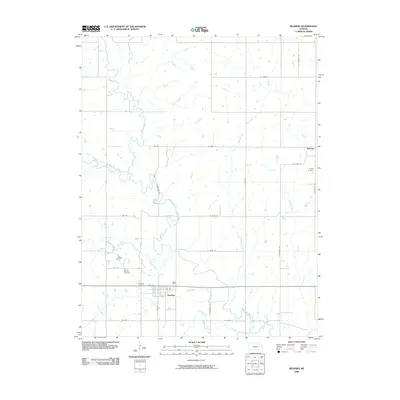 2009 Reading2009 Print · USGSOsage County at the close of the 2000s shows a landscape defined by the winding Marais des Cygnes River and established rural townships. Genealogists can trace family locations near Reading Cemetery, Barclay, and the curiously named One Hundred and Forty-two Mile Creek.
 - 2009 Map of Lebo NW, 2009 Print
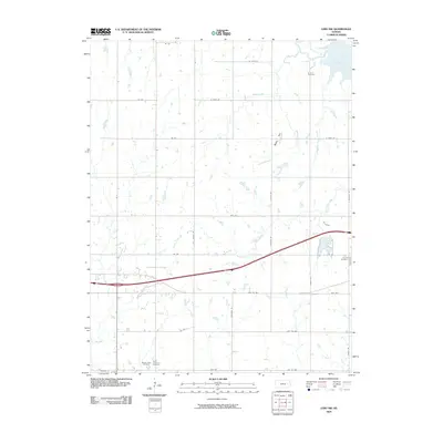 2009 Lebo NW2009 Print · USGSThe prairie landscape of Coffey County is shown here in the early twenty-first century as it surrounds the shores of Melvern Lake. Genealogists can locate several local burial sites including Arvonia Cemetery, Lincoln Cemetery, and Saint Lawrence Cemetery.
 - 2009 Map of Shaw Creek, 2009 Print
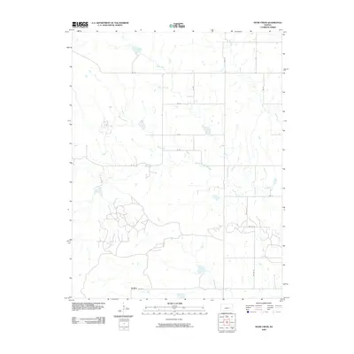 2009 Shaw Creek2009 Print · USGSThe rural prairie of Greenwood County comes into focus in the early 2000s, centered on the small community of Kenbro. Researchers can trace the winding course of the North Branch Verdigris River and find family farm sites along Rd 50 and Shaw Creek.
 - 2009 Map of Gridley NW, 2009 Print
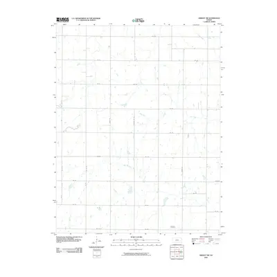 2009 Gridley NW2009 Print · USGSLyon County at the end of the first decade of the 2000s shows a quiet, agrarian landscape shaped by its natural waterways. Genealogists and local historians can trace the rural road network and identify family-related sites near Apostolic Cemetery and North Big Creek.
 - 2009 Map of Miller, 2009 Print
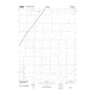 2009 Miller2009 Print · USGSThe rural landscapes of Osage and Wabaunsee Counties are captured here in the early twenty-first century, showing the prairie communities of Wilmington and Miller. Researchers can locate family heritage sites at Wilmington Cemetery and Rapp Cemetery or trace the winding paths of Dragoon Creek and Salt Creek.
 - 2009 Map of Hartford, 2009 Print
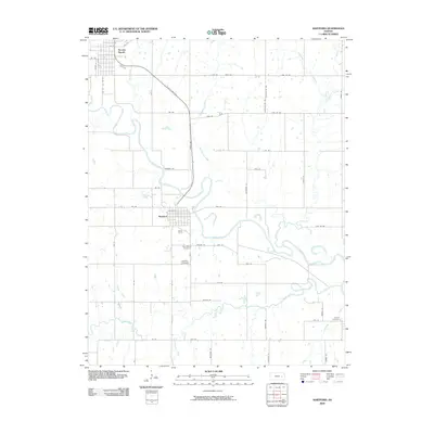 2009 Hartford2009 Print · USGSThe Neosho River valley in Lyon County is captured here during the first decade of the millennium, showing the rural landscape around Hartford and Neosho Rapids. Researchers can locate several historic burial grounds like Saint Marys Cemetery and trace the paths of Eagle Creek and Jacobs Creek.
 - 2010 Map of Madison NE, 2010 Print
 2010 Madison NE2010 Print · USGSLyon County at the start of the 2010s reveals a quiet agricultural landscape defined by the winding Verdigris River. Genealogists and local historians can trace family ties across the prairie through several burial grounds, including Maydale Cemetery and Lena Valley Cemetery.
 - 2010 Map of Bushong, 2010 Print
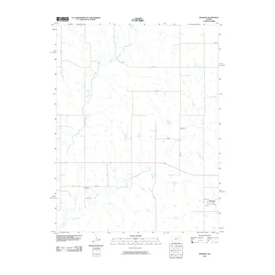 2010 Bushong2010 Print · USGSLyon County at the start of the 2010s reveals a quiet agricultural landscape centered on the small town of Bushong. Researchers can trace local genealogy at the Agnes City Cemetery and Comisky Cemetery or follow the drainage of Bluff Creek and Rock Creek.
 - 2010 Map of Plymouth, 2010 Print
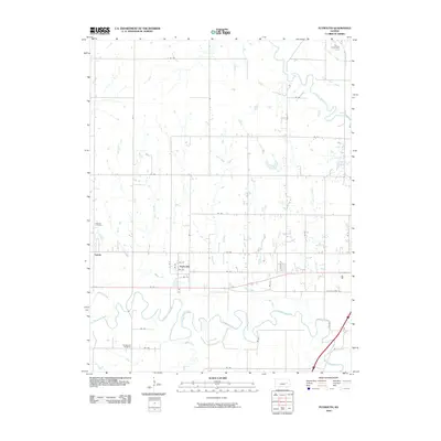 2010 Plymouth2010 Print · USGSLyon County at the start of the 2010s reveals a rural landscape defined by the winding paths of the Cottonwood River and Neosho River. Researchers can trace old family sites and local routes near Plymouth, Hillside Cemetery, and the historic corridor of W Old USHWY 50.
 - 2010 Map of Olpe, 2010 Print
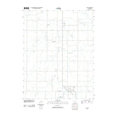 2010 Olpe2010 Print · USGSOlpe and its surrounding rural sections are captured here in the early twenty-first century, showcasing the area's organized agricultural grid. Researchers can trace the local road network along RD 80 or follow the path of the Cottonwood River as it winds through the northern reaches.
 - 2010 Map of Phenis Creek, 2010 Print
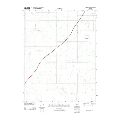 2010 Phenis Creek2010 Print · USGSLyon County in the early twenty-first century reveals a landscape structured by rural section-line roads and the winding Cottonwood River. Researchers can trace old family holdings and land use patterns along Phenis Creek, Jacob Creek, and Johnson Rd.
 - 2010 Map of Madison, 2010 Print
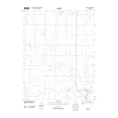 2010 Madison2010 Print · USGSSoutheastern Kansas at the turn of the decade reveals a landscape where the river forks converge at the town of Madison. Genealogists and researchers can trace rural burial sites like Zion Cemetery and Blakely Cemetery amidst the waters of the Verdigris River.
 - 2012 Map of Olpe, 2012 Print
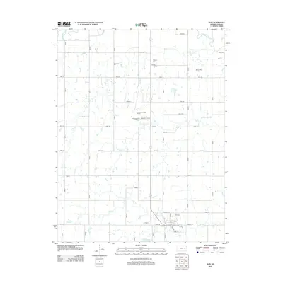 2012 Olpe2012 Print · USGSLyon County at the start of the decade shows the organized prairie landscape surrounding Olpe. Researchers can trace local lineage and land use through numerous rural burial sites like Greenwood Cem and Saint Joseph Cem, or locate landmarks like Mary's Place Airport.
 - 2012 Map of Madison NE, 2012 Print
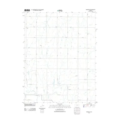 2012 Madison NE2012 Print · USGSIn the early 21st century, this section of Lyon County remains defined by its prairie streams and rural grid. Genealogists can locate family landmarks such as Maydale Cem and Lena Valley Cem near the banks of the Verdigris River.
 - 2012 Map of Lang, 2012 Print
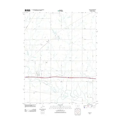 2012 Lang2012 Print · USGSLyon County in the early twenty-first century is defined by the winding paths of the Neosho River and the Cottonwood River. Researchers can trace local heritage through well-preserved sites like Badger Creek Cem, Fowler Cem, and the small settlement of Lang.
 - 2012 Map of Allen SW, 2012 Print
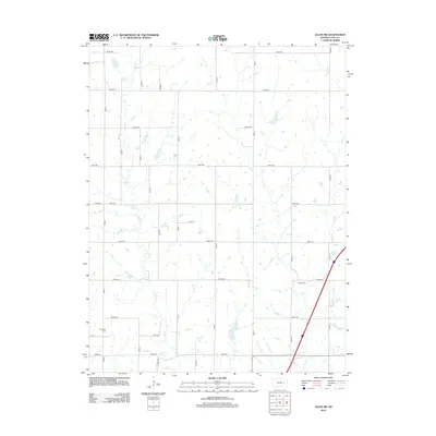 2012 Allen SW2012 Print · USGSLyon County at the start of the 2010s reveals a structured landscape of section roads and quiet creek bottoms. Genealogists and local historians can trace family locations near Frost Cem, Rosean Cem, and the water of Allen Cr.
 - 2012 Map of Plymouth, 2012 Print
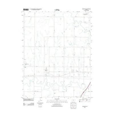 2012 Plymouth2012 Print · USGSLyon County at the start of the 2010s reveals a quiet agricultural landscape shaped by the Cottonwood River and the grid of section-line roads. Researchers can trace several local burial sites like Haworth Cem and Cottonwood Cem near the small community of Plymouth.
Showing maps 1-25 of 100
Top cities of Lyon County
- Emporia historical maps
- Americus historical maps
- Olpe historical maps
- Hartford historical maps
- Neosho Rapids historical maps
- Reading historical maps
See more
Frequently asked questions
- What are the different types of historical maps available for Lyon County?
- What is the oldest map of Lyon County?
- Where can I purchase historical maps of Lyon County for my home or office?
- Where can I download high-res historical maps of Lyon County?
- Are there historical topographic maps available for Lyon County?
- Is there historical aerial imagery available for Lyon County?
- Where are historical maps of Lyon County sourced from?