Old Maps of Florence, Kansas for Genealogy
Trace your family roots with 18 historic maps of Florence. These high-res maps reveal old neighborhoods, homesites, landmarks, and streets — helping you uncover where your ancestors lived and how the area evolved over time.
- Explore historic neighborhoods: Identify where your relatives may have lived in the 1800s or 1900s.
- Compare maps over time: Trace the changes in streets, buildings, and landmarks for multi-generational research.
- Perfect for genealogy & ancestry research: Used by family historians and researchers to map out lineage and migration.
These maps are an incredible resource for exploring your personal connection to Florence's past.
Florence, KS maps
(18)- 1898 Map of Cottonwood Falls
 1898 Cottonwood Falls1898 Print · USGSChase and Marion counties thrive in the late 1890s as the railroad and river valleys define the region's development. Researchers can trace the early rail paths of the Atchison Topeka and Santa Fe RR and locate settlements like Cottonwood Falls, Cedar Point, and Wonsevu.4 unique versions available
 - 1955 Map of Hutchinson, 1967 Print
 1955 Hutchinson1967 Print · USGSCentral Kansas in the mid-sixties reveals a landscape of growing reservoirs and evolving transportation corridors. Trace the development of towns like Hutchinson and Abilene alongside the Union Pacific Railroad and the expanding Interstate 70.3 unique versions available
 - 1957 Map of Florence, 1958 Print
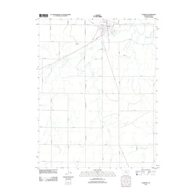
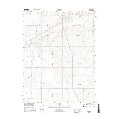
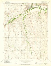 1957 Florence1958 Print · USGSMarion County in the late fifties was a bustling corridor of rail activity and prairie agriculture centered on Florence. Genealogists and researchers can trace rural life through landmarks like Summit Ch, Mt Calvary Cem, and numerous Oil Wells dotting the plains.
 - 1957 Map of Lincolnville SW, 1958 Print
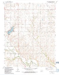
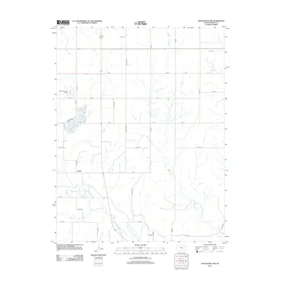
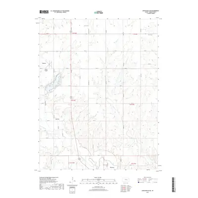
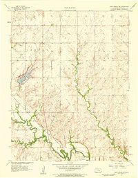 1957 Lincolnville SW1958 Print · USGSMarion County in the late fifties shows a landscape shaped by rail and river. Genealogists can trace family roots at Grant Cem and Harter Cem, or locate the small settlement of Oursler along the Atchison Topeka and Santa Fe tracks.2 unique versions available
 - 1959 Map of Hutchinson
 1959 Hutchinson1959 Print · USGSCentral Kansas thrives at the intersection of rail and river in the mid-1950s, as post-war aviation infrastructure reshapes the prairie. Genealogists and historians can trace the paths of the AT&SF RR through Newton and Hutchinson, or locate military sites like Smoky Hill Air Force Base.2 unique versions available
 - 1985 Map of Emporia
 1985 Emporia1985 Print · USGSThe Flint Hills of central Kansas appear in high detail during the 1980s, centering on the convergence of the Cottonwood and Neosho rivers. Researchers can trace the Old Indian Treaty Boundary or locate prairie outposts like Matfield Green, Saffordville, and Bazaar.2 unique versions available
 - 1989 Map of Florence, 1990 Print
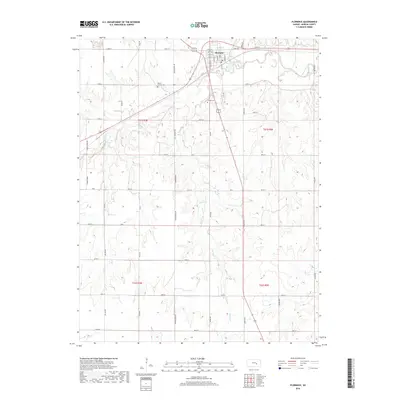
 1989 Florence1990 Print · USGSMarion County enters the late twentieth century as a hub of petroleum production and river valley agriculture. Genealogists and researchers can trace local landmarks like Mt Calvary Cem, Summit Ch, and the winding path of the Cottonwood River.
 - 1989 Map of Lincolnville SW, 1990 Print
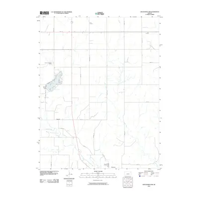
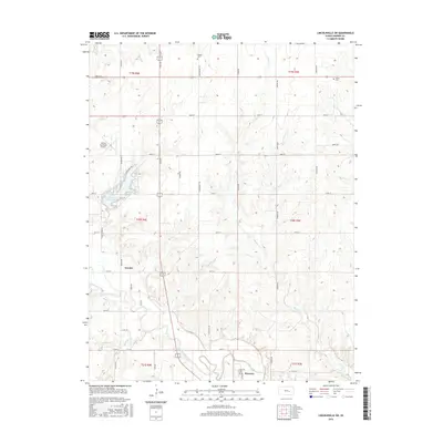
 1989 Lincolnville SW1990 Print · USGSMarion County in the late eighties reveals a landscape shaped by the Cottonwood River and a steady energy economy. Researchers can locate historic burial grounds like Harter Cem, trace the Old Railroad Grade, and explore the shoreline of Marion County Lake.
 - 2010 Map of Florence, 2010 Print
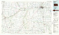
 2010 Florence2010 Print · USGSCovers Florence, including Marion County, United States, and other nearby areas
 - 2010 Map of Lincolnville SW, 2010 Print
 2010 Lincolnville SW2010 Print · USGSCovers Florence, including Marion, Oursler, and other nearby areas
 - 2012 Map of Florence, 2012 Print
 2012 Florence2012 Print · USGSCovers Florence, including Marion County, United States, and other nearby areas
 - 2012 Map of Lincolnville SW, 2012 Print
 2012 Lincolnville SW2012 Print · USGSCovers Florence, including Marion, Oursler, and other nearby areas
 - 2015 Map of Lincolnville SW, 2015 Print
 2015 Lincolnville SW2015 Print · USGSCovers Florence, including Marion, Oursler, and other nearby areas
 - 2015 Map of Florence, 2015 Print
 2015 Florence2015 Print · USGSCovers Florence, including Marion County, United States, and other nearby areas
 - 2018 Map of Florence, 2018 Print
 2018 Florence2018 Print · USGSCovers Florence, including Marion County, United States, and other nearby areas
 - 2018 Map of Lincolnville SW, 2018 Print
 2018 Lincolnville SW2018 Print · USGSCovers Florence, including Marion, Oursler, and other nearby areas
 - 2022 Map of Florence, 2022 Print
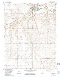
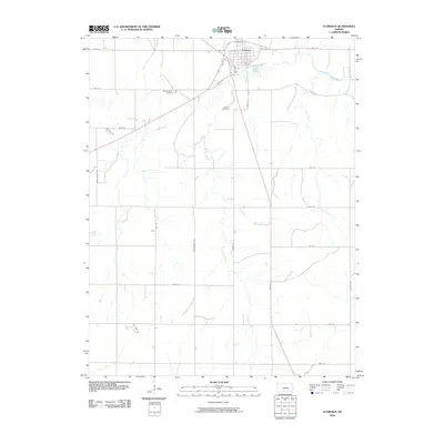
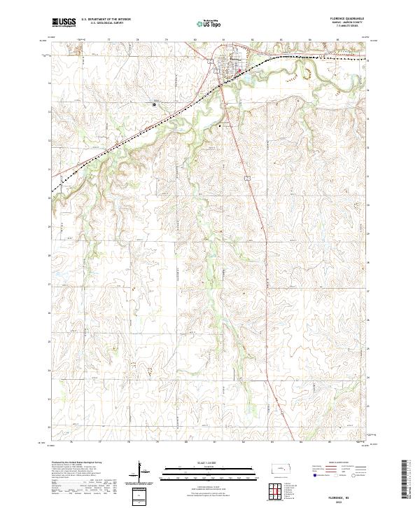 2022 Florence2022 Print · USGSIn the heart of Marion County, this modern survey shows the settlement of Florence at its junction with the Cottonwood River. Researchers can locate family sites near Mount Calvary Cem and trace rural water sources like Crane Spring and Lee Spring.
 - 2022 Map of Lincolnville SW, 2022 Print
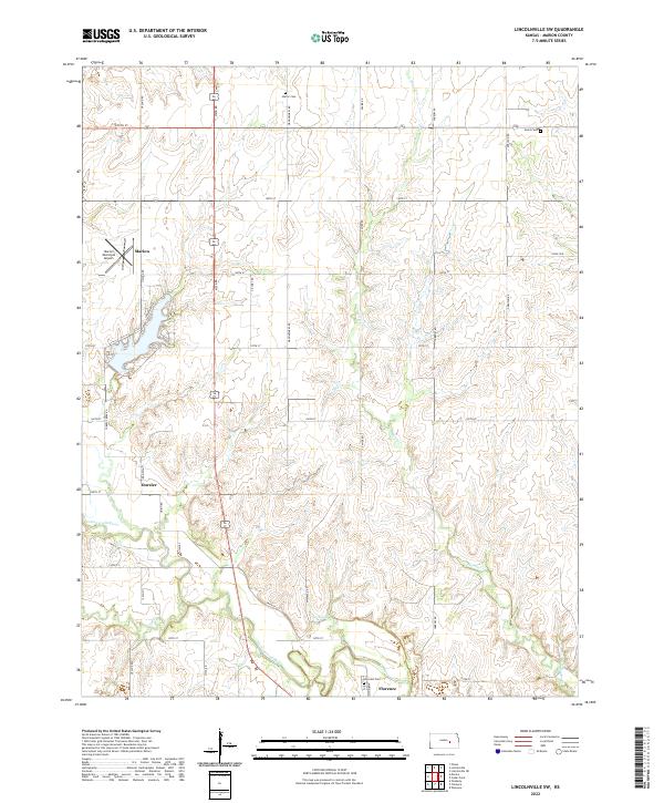 2022 Lincolnville SW2022 Print · USGSMarion County's river-fed plains are documented here in the early twenty-first century, showing a landscape shaped by the Cottonwood River. Researchers can locate family sites near Harter Cem or trace the early foundations of Florence and Oursler.
End of results
Showing maps 1-18 of 18
Top cities near Florence
- Marion historical maps
- Peabody historical maps
- Burns historical maps
- Elbing historical maps
- Cedar Point historical maps
Frequently asked questions
- What are the different types of historical maps available for Florence?
- What is the oldest map of Florence?
- Where can I purchase historical maps of Florence for my home or office?
- Where can I download high-res historical maps of Florence?
- Are there historical topographic maps available for Florence?
- Is there historical aerial imagery available for Florence?
- Where are historical maps of Florence sourced from?