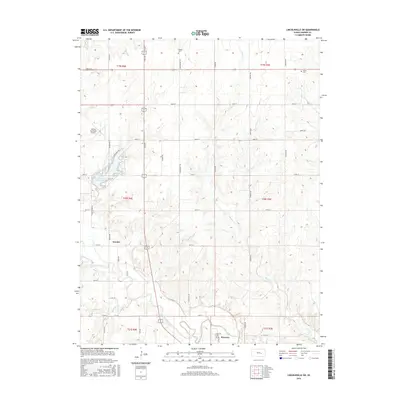
2015 Map of Lincolnville SW
USGS Topo · Published 2015About this map
The Cottonwood River meanders across this Marion County landscape, creating a fertile valley south of the Oursler settlement. The map highlights the significant local recreation and water resource of Marion County Lake, which is surrounded by a network of local roads such as Lakeshore Dr and Turkey Creek Rd. Near the southern border, the city of Florence is documented adjacent to the river, with Hillcrest Cem serving the community nearby.
Find a feature on this map
41 named features on this map. Tap any name to fly to it.
Don’t see what you’re looking for? This feature index may not catch every label — zoom into the map to look around manually.
Map Details
Editions of this 2015 Lincolnville SW Map
This is the sole edition of this map. No revisions or reprints were ever made.
Other maps of this area

1889 · Newton
USGS Topo · 1:125,000

1894 · Newton
USGS Topo · 1:125,000

1898 · Cottonwood Falls
USGS Topo · 1:125,000

1955 · Hutchinson
USGS Topo · 1:250,000

1957 · Florence
USGS Topo · 1:24,000

1957 · Wonsevu
USGS Topo · 1:24,000

1957 · Cedar Point
USGS Topo · 1:24,000

1957 · Lincolnville SW
USGS Topo · 1:24,000

1957 · Peabody
USGS Topo · 1:24,000

1959 · Hutchinson
USGS Topo · 1:250,000