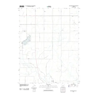
2010 Map of Lincolnville SW
USGS Topo · Published 2010About this map
Marion County Lake and its surrounding recreational developments, including Lakeshore Dr and Trail Rd, serve as a primary geographical focus in this central Kansas landscape. The Marion County Dam regulates Turkey Creek, which feeds into the larger reservoir. To the south, the settlement of Florence sits near the banks of the Cottonwood River, while the smaller community of Oursler appears further north along the Vista Rd corridor.
Find a feature on this map
33 named features on this map. Tap any name to fly to it.
Don’t see what you’re looking for? This feature index may not catch every label — zoom into the map to look around manually.
Map Details
Editions of this 2010 Lincolnville SW Map
This is the sole edition of this map. No revisions or reprints were ever made.
Other maps of this area

1889 · Newton
USGS Topo · 1:125,000

1894 · Newton
USGS Topo · 1:125,000

1898 · Cottonwood Falls
USGS Topo · 1:125,000

1955 · Hutchinson
USGS Topo · 1:250,000

1957 · Florence
USGS Topo · 1:24,000

1957 · Wonsevu
USGS Topo · 1:24,000

1957 · Cedar Point
USGS Topo · 1:24,000

1957 · Lincolnville SW
USGS Topo · 1:24,000

1957 · Peabody
USGS Topo · 1:24,000

1959 · Hutchinson
USGS Topo · 1:250,000