2000s (21st Century) Maps of Nemaha County, Kansas
Explore 96 historic maps of Nemaha County from the 2000s (21st Century). These maps offer a rare glimpse into what life looked like during the 2000s — showing old roads, neighborhoods, homes, and landmarks that have changed or disappeared over time.
Whether you're researching your family's past, planning a metal detecting trip, or studying how Nemaha County's landscape evolved across the 2000s, these high-resolution maps are a powerful tool for exploring the history of this region.
- Focus on a specific era: All maps on this page are from the 2000s, giving you a focused view of this time period.
- See what’s changed: Compare century-old streets, trails, and buildings to today's modern landscape using overlays and satellite layers.
- Research with precision: Use these maps for genealogy, historical research, land use analysis, or educational projects.
- View, download, or print: Maps are fully viewable online in high resolution, and can be downloaded or printed for your own records.
Start exploring Nemaha County's history through authentic maps from the 2000s. This is your window into the past.
Nemaha County, KS maps
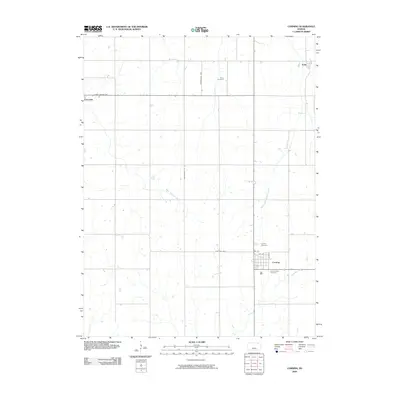
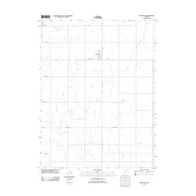
(96)- 2009 Map of Circleville, 2009 Print
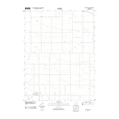 2009 Circleville2009 Print · USGSCovers Nemaha County, including Circleville, Jackson County, and other nearby areas
 - 2009 Map of Woodlawn, 2009 Print
 2009 Woodlawn2009 Print · USGSCovers Nemaha County, including Capioma, Fidelity, and other nearby areas
 - 2009 Map of Saint Benedict, 2009 Print
 2009 Saint Benedict2009 Print · USGSCovers Nemaha County, including Saint Benedict, United States, and other nearby areas
 - 2009 Map of Duluth, 2009 Print
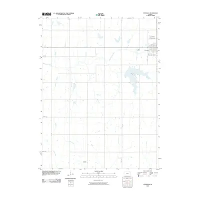
 2009 Duluth2009 Print · USGSCovers Nemaha County, including Neuchatel, Duluth, and other nearby areas
 - 2009 Map of Corning, 2009 Print
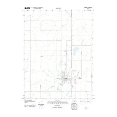
 2009 Corning2009 Print · USGSCovers Nemaha County, including Centralia, Corning, and other nearby areas
 - 2009 Map of Goff, 2009 Print
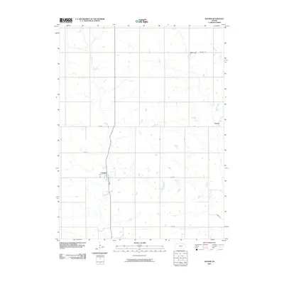
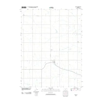 2009 Goff2009 Print · USGSCovers Nemaha County, including Goff, United States, and other nearby areas
 - 2009 Map of Oneida, 2009 Print
 2009 Oneida2009 Print · USGSCovers Nemaha County, including Oneida, United States, and other nearby areas
 - 2009 Map of Seneca NW, 2009 Print
 2009 Seneca NW2009 Print · USGSCovers Nemaha County, including Marshall County, United States, and other nearby areas
 - 2009 Map of Wetmore, 2009 Print
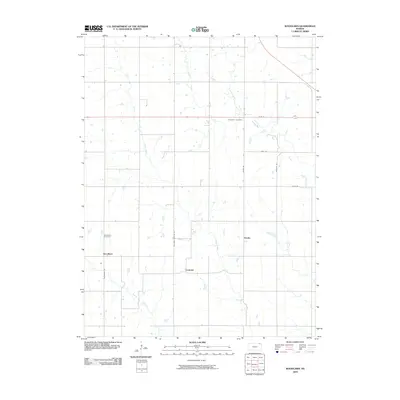
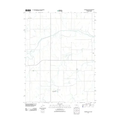
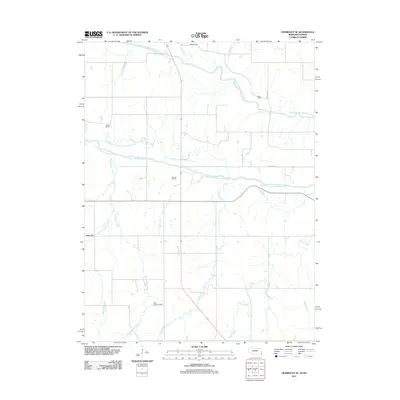
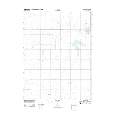
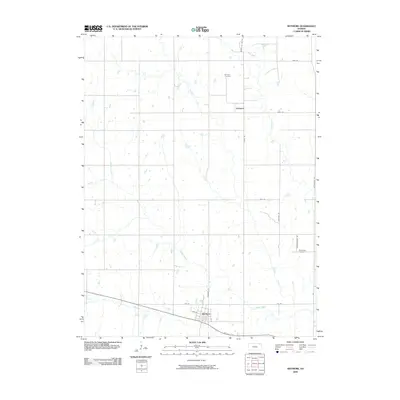 2009 Wetmore2009 Print · USGSCovers Nemaha County, including Wetmore, Granada, and other nearby areas
 - 2009 Map of Soldier, 2009 Print
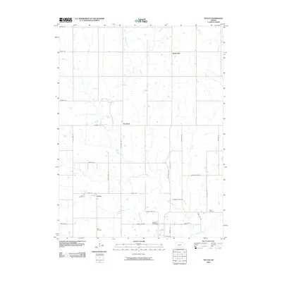
 2009 Soldier2009 Print · USGSCovers Nemaha County, including Soldier, Ontario, and other nearby areas
 - 2009 Map of Havensville, 2009 Print
 2009 Havensville2009 Print · USGSCovers Nemaha County, including Havensville, America City, and other nearby areas
 - 2009 Map of Baileyville, 2009 Print
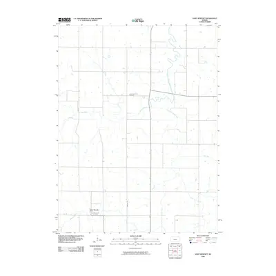
 2009 Baileyville2009 Print · USGSCovers Nemaha County, including Axtell, Baileyville, and other nearby areas
 - 2009 Map of Seneca, 2009 Print
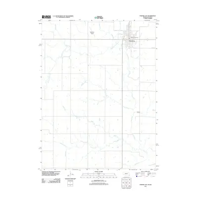
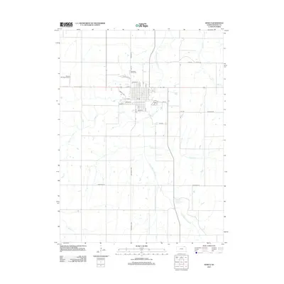
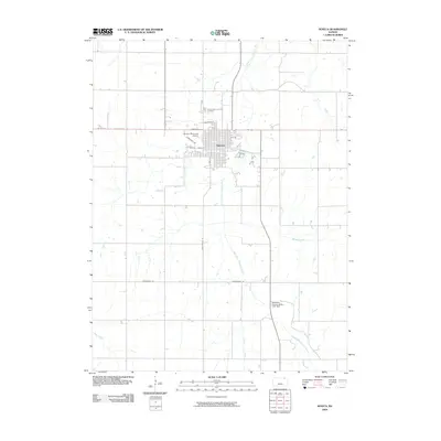 2009 Seneca2009 Print · USGSCovers Nemaha County, including Seneca, United States, and other nearby areas
 - 2010 Map of Centralia, 2010 Print
 2010 Centralia2010 Print · USGSCovers Nemaha County, including Centralia, Marshall County, and other nearby areas
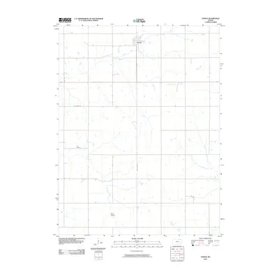
 - 2010 Map of Bern, 2010 Print
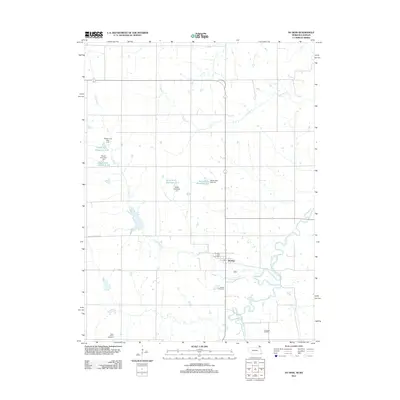
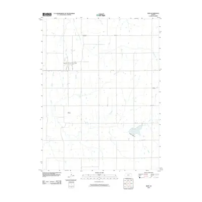 2010 Bern2010 Print · USGSCovers Nemaha County, including Bern, United States, and other nearby areas
 - 2010 Map of Sabetha, 2010 Print
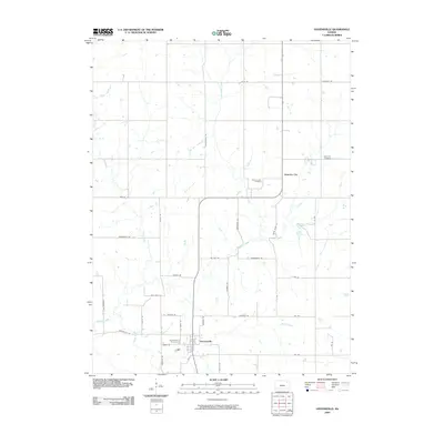
 2010 Sabetha2010 Print · USGSCovers Nemaha County, including Sabetha, Berwick, and other nearby areas
 - 2011 Map of Humboldt SW, 2011 Print
 2011 Humboldt SW2011 Print · USGSCovers Nemaha County, including Richardson County, United States, and other nearby areas
 - 2011 Map of Humboldt SE, 2011 Print
 2011 Humboldt SE2011 Print · USGSCovers Nemaha County, including Dawson, Nim City, and other nearby areas
 - 2011 Map of Pawnee City, 2011 Print
 2011 Pawnee City2011 Print · USGSCovers Nemaha County, including Pawnee City, Marshall County, and other nearby areas
 - 2012 Map of Du Bois, 2012 Print
 2012 Du Bois2012 Print · USGSCovers Nemaha County, including Du Bois, Richardson County, and other nearby areas
 - 2012 Map of Baileyville, 2012 Print
 2012 Baileyville2012 Print · USGSCovers Nemaha County, including Axtell, Baileyville, and other nearby areas
 - 2012 Map of Centralia, 2012 Print
 2012 Centralia2012 Print · USGSCovers Nemaha County, including Centralia, Marshall County, and other nearby areas
 - 2012 Map of Seneca, 2012 Print
 2012 Seneca2012 Print · USGSCovers Nemaha County, including Seneca, United States, and other nearby areas
 - 2012 Map of Wetmore, 2012 Print
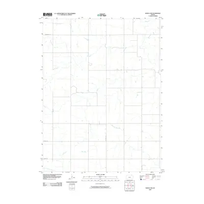
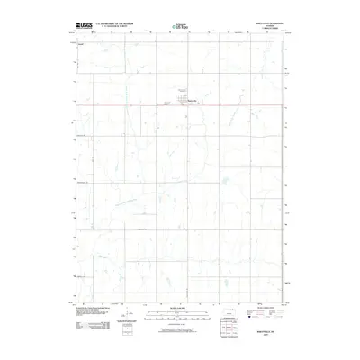
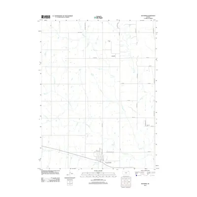 2012 Wetmore2012 Print · USGSCovers Nemaha County, including Wetmore, Granada, and other nearby areas
 - 2012 Map of Circleville, 2012 Print
 2012 Circleville2012 Print · USGSCovers Nemaha County, including Circleville, Jackson County, and other nearby areas
Showing maps 1-25 of 96
Top cities of Nemaha County
- Seneca historical maps
- Centralia historical maps
- Berwick historical maps
- Wetmore historical maps
- Bern historical maps
- Goff historical maps
See more
Frequently asked questions
- What are the different types of historical maps available for Nemaha County?
- What is the oldest map of Nemaha County?
- Where can I purchase historical maps of Nemaha County for my home or office?
- Where can I download high-res historical maps of Nemaha County?
- Are there historical topographic maps available for Nemaha County?
- Is there historical aerial imagery available for Nemaha County?
- Where are historical maps of Nemaha County sourced from?