2000s (21st Century) Maps of Osage City, Kansas
Explore 10 historic maps of Osage City from the 2000s (21st Century). These maps offer a rare glimpse into what life looked like during the 2000s — showing old roads, neighborhoods, homes, and landmarks that have changed or disappeared over time.
Whether you're researching your family's past, planning a metal detecting trip, or studying how Osage City's landscape evolved across the 2000s, these high-resolution maps are a powerful tool for exploring the history of this region.
- Focus on a specific era: All maps on this page are from the 2000s, giving you a focused view of this time period.
- See what’s changed: Compare century-old streets, trails, and buildings to today's modern landscape using overlays and satellite layers.
- Research with precision: Use these maps for genealogy, historical research, land use analysis, or educational projects.
- View, download, or print: Maps are fully viewable online in high resolution, and can be downloaded or printed for your own records.
Start exploring Osage City's history through authentic maps from the 2000s. This is your window into the past.
Osage City, KS maps
(10)- 2009 Map of Osage City SE, 2009 Print
 2009 Osage City SE2009 Print · USGSCovers Osage City, including Osage County, United States, and other nearby areas
 - 2009 Map of Osage City, 2009 Print
 2009 Osage City2009 Print · USGSCovers Osage City, including Burlingame, Peterton, and other nearby areas
 - 2012 Map of Osage City, 2012 Print
 2012 Osage City2012 Print · USGSCovers Osage City, including Burlingame, Peterton, and other nearby areas
 - 2012 Map of Osage City SE, 2012 Print
 2012 Osage City SE2012 Print · USGSCovers Osage City, including Osage County, United States, and other nearby areas
 - 2015 Map of Osage City SE, 2015 Print
 2015 Osage City SE2015 Print · USGSCovers Osage City, including Osage County, United States, and other nearby areas
 - 2015 Map of Osage City, 2015 Print
 2015 Osage City2015 Print · USGSCovers Osage City, including Burlingame, Peterton, and other nearby areas
 - 2018 Map of Osage City SE, 2018 Print
 2018 Osage City SE2018 Print · USGSCovers Osage City, including Osage County, United States, and other nearby areas
 - 2018 Map of Osage City, 2018 Print
 2018 Osage City2018 Print · USGSCovers Osage City, including Burlingame, Peterton, and other nearby areas
 - 2022 Map of Osage City, 2022 Print
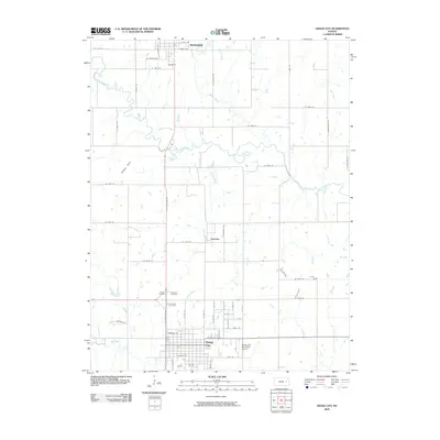
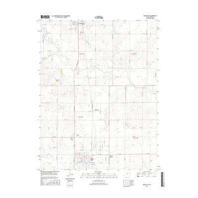
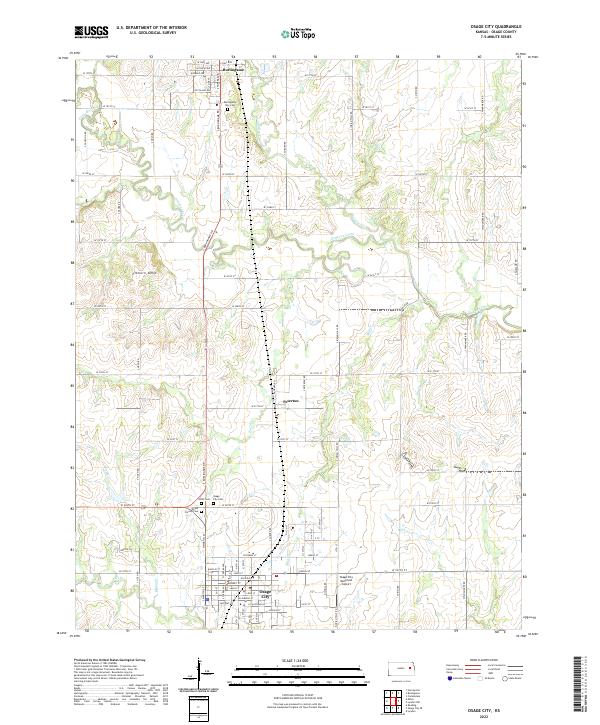 2022 Osage City2022 Print · USGSOsage County communities show their modern growth along with deep-rooted rural landmarks in the early twenty-first century. Genealogists can trace burial sites at Union Cem and Mount Calvary Cem or locate the settlement at Peterton.
 - 2022 Map of Osage City SE, 2022 Print
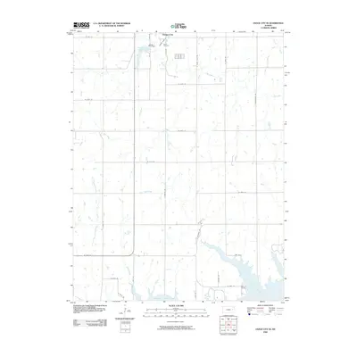
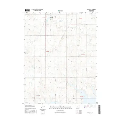
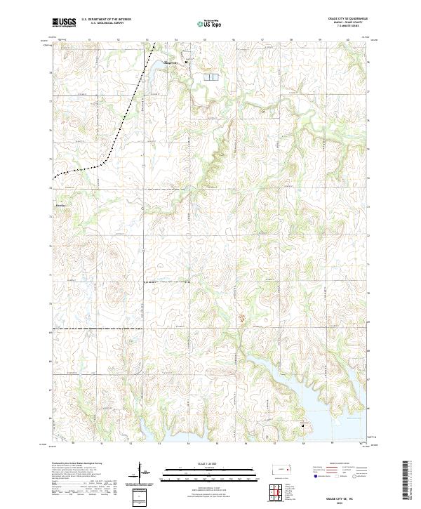 2022 Osage City SE2022 Print · USGSOsage County in the early twenty-first century shows a landscape where the grid of historic farm roads meets the winding shores of Melvern Lake. Researchers can locate family sites near Osage City, trace the waters of Turkey Cr, or find burials at Alpine Cem and South Cem.
End of results
Showing maps 1-10 of 10
Top cities near Osage City
- Carbondale historical maps
- Lyndon historical maps
- Burlingame historical maps
- Lebo historical maps
- Wilmington historical maps
- Scranton historical maps
See more
Frequently asked questions
- What are the different types of historical maps available for Osage City?
- What is the oldest map of Osage City?
- Where can I purchase historical maps of Osage City for my home or office?
- Where can I download high-res historical maps of Osage City?
- Are there historical topographic maps available for Osage City?
- Is there historical aerial imagery available for Osage City?
- Where are historical maps of Osage City sourced from?