Old Maps of Rossville Township, Kansas for Metal Detecting
Plan your next treasure hunt with 37 historic maps of Rossville Township. Find old homesites, ghost towns, trails, and gathering spots that may be lost to time — perfect for identifying promising metal detecting locations.
- Locate forgotten sites: Uncover places like long-lost settlements, abandoned rail lines, or gathering spots.
- Plan better hunts: Use map overlays combined with LiDAR or satellite views to narrow in on historically rich areas.
- Made for detectorists: Thousands of hobbyists use these maps to discover relics, coins, and hidden history.
Use these historic maps to boost your research and find new opportunities beneath the surface of Rossville Township.
Rossville Township, KS maps
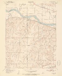
(37)- 1889 Map of Wamego
 1889 Wamego1889 Print · USGSNortheastern Kansas thrives along the river valleys in the 1880s, where rail networks and river crossings dictated the growth of the prairie. Genealogists can trace family roots in early hubs like Alma, St Marys, and Wamego, or find the path of the Union Pacific Railroad.
 - 1889 Map of Topeka
 1889 Topeka1889 Print · USGSEastern Kansas in the late nineteenth century was a landscape of rapid rail expansion and tribal land boundaries. Genealogists can trace family roots through the Pottawatomie Indian Reservation or old settlements like Holton, Rossville, and Agency.
 - 1894 Map of Topeka
 1894 Topeka1894 Print · USGSTopeka and its northern reaches are captured here in the late nineteenth century, during a pivotal era of rail expansion and settlement. Local historians can trace the early layouts of Topeka and Silver Lake alongside the Pottawatomie Indian Reservation.5 unique versions available
 - 1894 Map of Wamego
 1894 Wamego1894 Print · USGSThe Kansas prairie in the late nineteenth century was a world of steam and river crossings, where the iron horse reshaped the frontier. Genealogists can trace family roots in established towns like Wamego, Alma, or the small settlement of Moodyville along Rock Creek.5 unique versions available
 - 1950 Map of Kansas City
 1950 Kansas City1950 Print · USGSMid-century Kansas and Missouri are captured here during a period of industrial growth and shifting transportation. Genealogists and historians can trace rail lines like the Wabash RR or locate ancestral homes near the Potawatomi Indian Reservation and Horton.
 - 1952 Map of Rossville, 1953 Print
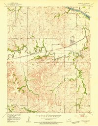
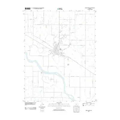
 1952 Rossville1953 Print · USGSThe rural borders of Shawnee and Jackson counties are captured here in the early fifties, a time when small country schoolhouses still dotted the prairie. You can trace family roots at Bohemian Cemetery, locate the Stone School, or follow the Union Pacific rail line.4 unique versions available
 - 1952 Map of Willard, 1954 Print
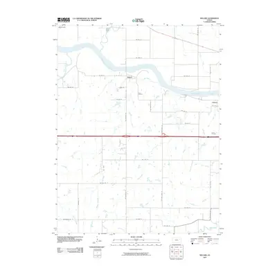
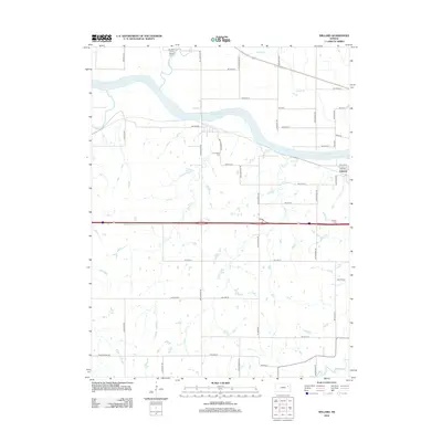
 1952 Willard1954 Print · USGSThe Kansas River valley at mid-century reveals a bustling corridor of competing rail lines and riverfront settlements. Researchers can trace the legacy of family farms and rural communities through landmarks like West Union Ch, Green Cem, and the Valencia townsite.4 unique versions available
 - 1953 Map of Maple Hill, 1954 Print
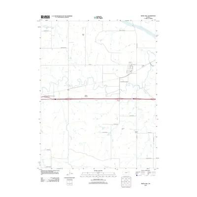
 1953 Maple Hill1954 Print · USGSWabaunsee County in the early fifties shows a landscape shaped by the winding Mill Creek and the busy Chicago Rock Island and Pacific railroad. Local historians can locate landmarks like Buffalo Mound, the settlement at Vera, and the rural Sunny Side Sch.2 unique versions available
 - 1953 Map of St Marys, 1954 Print
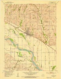 1953 St Marys1954 Print · USGSThe Kansas River valley in the early 1950s centered on the hub of St Marys, where the rail and river economies met. Genealogists and historians can trace local rural infrastructure through sites like St Marys Seminary, Turkey Creek Sch, and Mt Calvary Cem.2 unique versions available
 - 1954 Map of Kansas City
 1954 Kansas City1954 Print · USGSThe Missouri-Kansas borderlands flourished in the post-war era as river commerce and rail networks converged at the Missouri River. Genealogists and historians can trace the foundations of Kansas City and smaller rural hubs like Hiawatha or Sabetha.
 - 1955 Map of Manhattan, 1964 Print
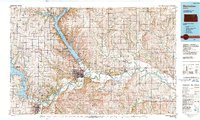
 1955 Manhattan1964 Print · USGSNorth Central Kansas is captured here in the mid-fifties, just as major flood control projects began reshaping the river valleys. Genealogists can locate family sites near St. Joseph Church, Sunset Cemetery, or along the busy tracks of the Rock Island RR.4 unique versions available
 - 1956 Map of Manhattan
 1956 Manhattan1956 Print · USGSNorth-central Kansas in the mid-fifties reveals a landscape defined by the convergence of the Republican River and Smoky Hill River. Historians can trace the rail corridors of the Union Pacific RR and Missouri Pacific RR through towns like Manhattan and Clay Center.
 - 1956 Map of Kansas City, 1967 Print
 1956 Kansas City1967 Print · USGSThe Kansas-Missouri border region thrived during the mid-fifties, centered on the growing metropolitan cores and the busy river valleys. Researchers can trace the layout of significant government sites like Fort Leavenworth and the Lake City Army Ammunition Plant.4 unique versions available
 - 1957 Map of Manhattan
 1957 Manhattan1957 Print · USGSNortheast Kansas in the mid-1950s reveals a landscape of expanding military installations and new water projects. Genealogists and historians can trace the rail-to-river economy through the Union Pacific RR and old settlements like Clay Center or Marysville.
 - 1960 Map of Kansas City
 1960 Kansas City1960 Print · USGSMid-century Kansas and Missouri meet at the river forks, showing a sprawling rail-and-river economy during the 1950s growth era. Genealogists and researchers can trace tribal lands like the Kickapoo Indian Reservation or follow the early interstate corridors through Saint Joseph and Independence.3 unique versions available
 - 1985 Map of Manhattan, 1986 Print
 1985 Manhattan1986 Print · USGSThe Flint Hills and Kansas River valley are captured in the mid-eighties, showing the growth of Manhattan alongside major military and ecological preserves. Trace local history through the Union Pacific rail lines, the Treaty Boundary, and the infrastructure of Fort Riley.
 - 1990 Map of Manhattan
 1990 Manhattan1990 Print · USGSThe Kansas river valley and the Flint Hills uplands are captured here in the late twentieth century as the region balanced military expansion and water management. Trace the historic Union Pacific rail line through river towns like Wamego and St Marys, or explore the sprawling Fort Riley Military Reservation.
 - 2009 Map of Maple Hill, 2009 Print
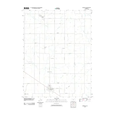
 2009 Maple Hill2009 Print · USGSCovers Rossville Township, including Maple Hill, Vera, and other nearby areas
 - 2009 Map of Saint Marys, 2009 Print
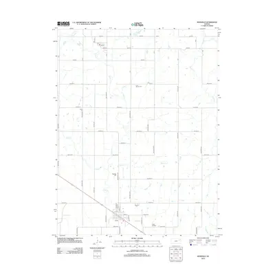
 2009 Saint Marys2009 Print · USGSCovers Rossville Township, including Saint Marys, Shawnee County, and other nearby areas
 - 2009 Map of Rossville, 2009 Print
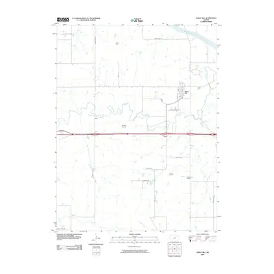
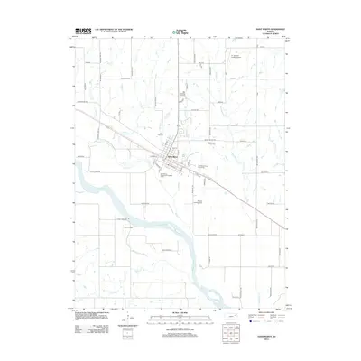
 2009 Rossville2009 Print · USGSCovers Rossville Township, including Rossville, Delia, and other nearby areas
 - 2009 Map of Willard, 2009 Print
 2009 Willard2009 Print · USGSCovers Rossville Township, including Valencia, Willard, and other nearby areas
 - 2012 Map of Saint Marys, 2012 Print
 2012 Saint Marys2012 Print · USGSCovers Rossville Township, including Saint Marys, Shawnee County, and other nearby areas
 - 2012 Map of Maple Hill, 2012 Print
 2012 Maple Hill2012 Print · USGSCovers Rossville Township, including Maple Hill, Vera, and other nearby areas
 - 2012 Map of Rossville, 2012 Print
 2012 Rossville2012 Print · USGSCovers Rossville Township, including Rossville, Delia, and other nearby areas
 - 2012 Map of Willard, 2012 Print
 2012 Willard2012 Print · USGSCovers Rossville Township, including Valencia, Willard, and other nearby areas
Showing maps 1-25 of 37
Top cities near Rossville Township
- Topeka historical maps
- Saint Marys historical maps
- Dover historical maps
- Menoken historical maps
- Silver Lake historical maps
- Newbury historical maps
See more
Top neighborhoods of Rossville Township
Frequently asked questions
- What are the different types of historical maps available for Rossville Township?
- What is the oldest map of Rossville Township?
- Where can I purchase historical maps of Rossville Township for my home or office?
- Where can I download high-res historical maps of Rossville Township?
- Are there historical topographic maps available for Rossville Township?
- Is there historical aerial imagery available for Rossville Township?
- Where are historical maps of Rossville Township sourced from?