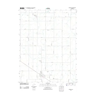
2012 Map of Rossville
USGS Topo · Published 2012About this map
Rossville sits as the primary settlement on this central Kansas landscape, where the street grid of N Main St and Navarre St meets the winding path of Cross Cr. This 2012 survey illustrates the agricultural character of Shawnee County, defined by a rigid section-line road network that circumvents natural landmarks like Peanaz Hill and the depression known as Toad Hollow. Local history and genealogy are anchored by several burial grounds, including the Rossville Cem on the south side of town and the distinctively named Czech - Moravian Cem to the north. Waterways like Soldier Cr and Peahaz Cr cut through the prairie, influencing the placement of rural homesteads and farm roads. The map serves as a detailed record of the township's layout, from the Po in the village center to the outlying Franklin Cem.
Find a feature on this map
53 named features on this map. Tap any name to fly to it.
Don’t see what you’re looking for? This feature index may not catch every label — zoom into the map to look around manually.
Map Details
Editions of this 2012 Rossville Map
This is the sole edition of this map. No revisions or reprints were ever made.
Other maps of this area

1889 · Wamego
USGS Topo · 1:125,000

1889 · Topeka
USGS Topo · 1:125,000

1894 · Topeka
USGS Topo · 1:125,000

1894 · Wamego
USGS Topo · 1:125,000

1950 · Kansas City
USGS Topo · 1:250,000

1952 · Rossville
USGS Topo · 1:24,000

1952 · Silver Lake
USGS Topo · 1:24,000

1952 · Grove
USGS Topo · 1:24,000
1952 · Willard
USGS Topo · 1:24,000

1953 · Maple Hill
USGS Topo · 1:24,000