2020s Maps of Trego County, Kansas
Explore 30 historic maps of Trego County from the 2020s. These maps offer a rare glimpse into what life looked like during the 2020s — showing old roads, neighborhoods, homes, and landmarks that have changed or disappeared over time.
Whether you're researching your family's past, planning a metal detecting trip, or studying how Trego County's landscape evolved across the 2020s, these high-resolution maps are a powerful tool for exploring the history of this region.
- Focus on a specific era: All maps on this page are from the 2020s, giving you a focused view of this time period.
- See what’s changed: Compare century-old streets, trails, and buildings to today's modern landscape using overlays and satellite layers.
- Research with precision: Use these maps for genealogy, historical research, land use analysis, or educational projects.
- View, download, or print: Maps are fully viewable online in high resolution, and can be downloaded or printed for your own records.
Start exploring Trego County's history through authentic maps from the 2020s. This is your window into the past.
Trego County, KS maps
(30)- 2022 Map of Saint Peter, 2022 Print
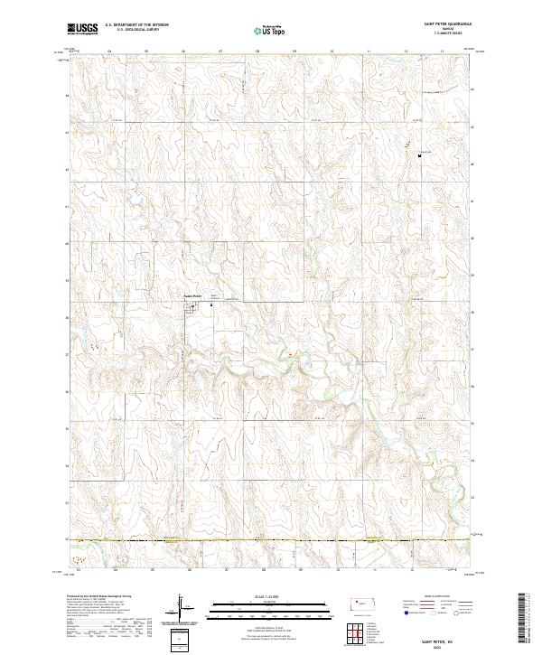 2022 Saint Peter2022 Print · USGSNorthwest Kansas farmland in Graham County remains anchored by the small settlement of Saint Peter and its surrounding river valleys. Genealogists can trace local history at Saint Anthony Cem or Leland Cem near the winding course of the N Fork Saline River.
 - 2022 Map of Quinter, 2022 Print
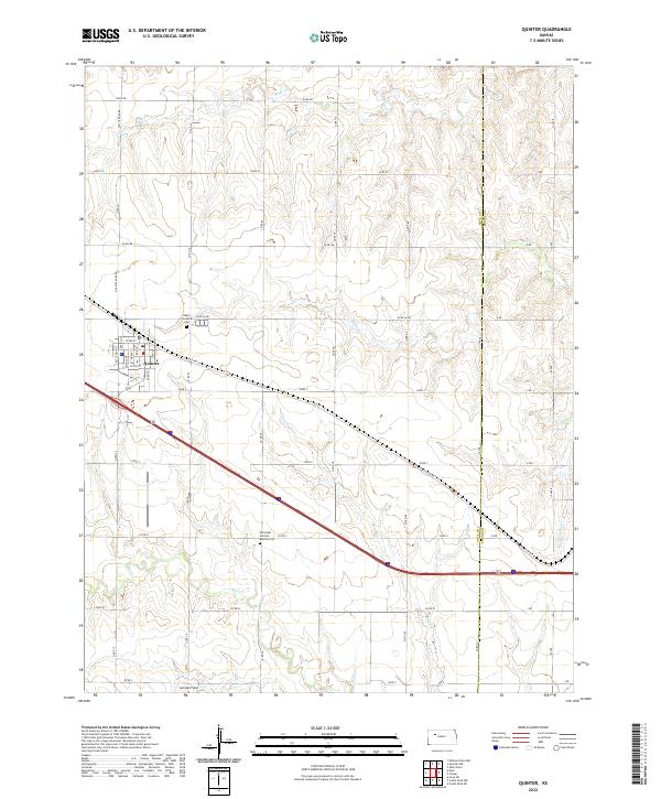 2022 Quinter2022 Print · USGSQuinter and the surrounding Gove County plains are shown here in the 2020s, highlighting the area's agricultural grid and historic road networks. Genealogists can locate family landmarks like Baker Township Cem and the Old Order German Baptist Cem along the drainage of Big Creek.
 - 2022 Map of Quinter NW, 2022 Print
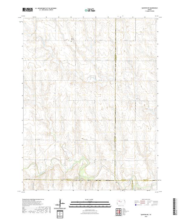 2022 Quinter NW2022 Print · USGSSheridan and Graham counties are captured here in the early twenty-first century, showcasing a landscape defined by the Saline River watershed. Genealogists and local historians can locate the Bethel Christian Cem and trace seasonal waterways like Turner Draw and Plum Cr.
 - 2022 Map of McCracken NE, 2022 Print
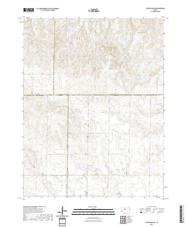 2022 McCracken NE2022 Print · USGSThe intersection of four central Kansas counties is captured here in the early twenty-first century, showing a vast grid of section roads and prairie drainage. Genealogists and historians can trace the course of Snake Cr and the specific paths of Chetolah Gold Rd and W Ave A.
 - 2022 Map of Arnold, 2022 Print
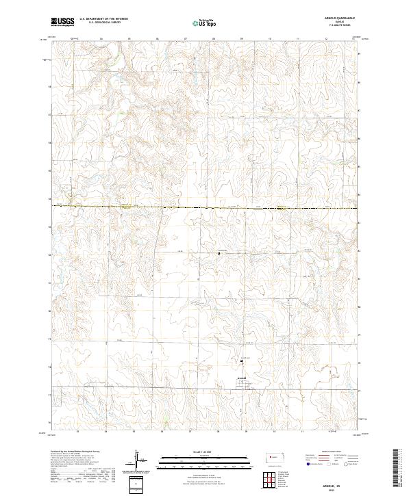 2022 Arnold2022 Print · USGSThe Ness and Trego County line area comes into focus here in the early twenty-first century, showing a landscape of high plains agriculture and deep-rooted community sites. Researchers can locate the Amish Cem, the settlement of Arnold, and the winding paths of Wild Horse Cr.
 - 2022 Map of Brownell, 2022 Print
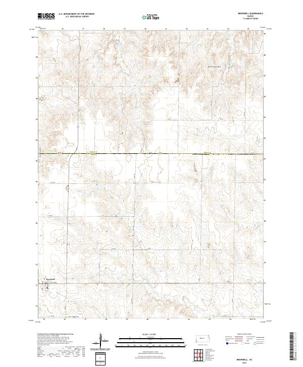 2022 Brownell2022 Print · USGSThe High Plains of western Kansas are documented here in the early twenty-first century, centered on the rural community of Brownell. Researchers can trace local landmarks like Round House Rock and the winding course of Big Timber Cr through the surrounding ranchland.
 - 2022 Map of Utica, 2022 Print
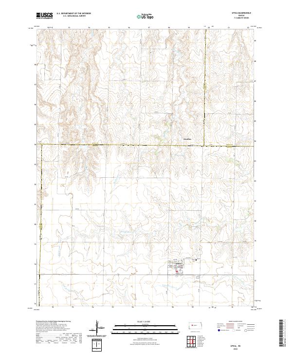 2022 Utica2022 Print · USGSWestern Kansas ranching and farming communities are documented here in the modern era, centered on the town of Utica. Researchers can trace local street grids, find the Utica Cem, and follow drainages like Big Windy Cr and Wild Horse Cr.
 - 2022 Map of Gibson Creek, 2022 Print
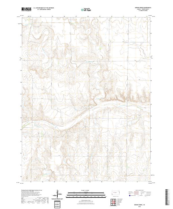 2022 Gibson Creek2022 Print · USGSTrego County is captured here in the early twenty-first century, showing the enduring agricultural grid and river drainage systems of the High Plains. Researchers can trace the path of the Smoky Hill River and its interaction with rural routes like W RD and Z RD.
 - 2022 Map of Castle Rock, 2022 Print
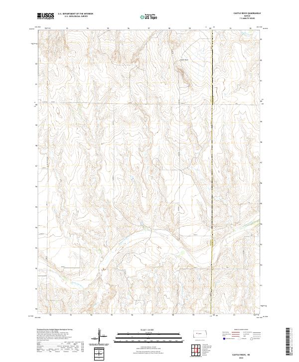 2022 Castle Rock2022 Print · USGSEastern Gove County at the dawn of the 2020s remains a landscape of open plains and dramatic river breaks. Researchers can trace the path of the Smoky Hill River and locate the iconic Castle Rock formation among the drainages of Big Windy Cr.
 - 2022 Map of Ellis SE, 2022 Print
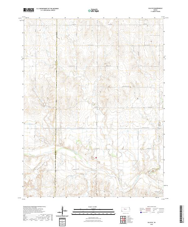 2022 Ellis SE2022 Print · USGSThe Smoky Hill River valley and the historic Butterfield trail corridor are documented here in Ellis County during the early 2020s. Researchers can trace the path of Smoky Hill River, the alignment of Butterfield Trail Rd, and local landmarks like Wildon Draw.
 - 2022 Map of Cedar Bluff Dam, 2022 Print
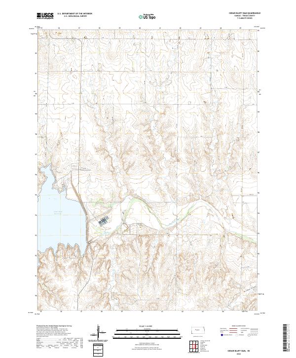 2022 Cedar Bluff Dam2022 Print · USGSWestern Kansas territory reveals the vast scale of the Cedar Bluff Reservoir and the Smoky Hill River valley in this recent survey. Local historians can trace the paths of Tunnel Cr and Wildon Draw amidst a network of county roads like AA RD.
 - 2022 Map of Osgood, 2022 Print
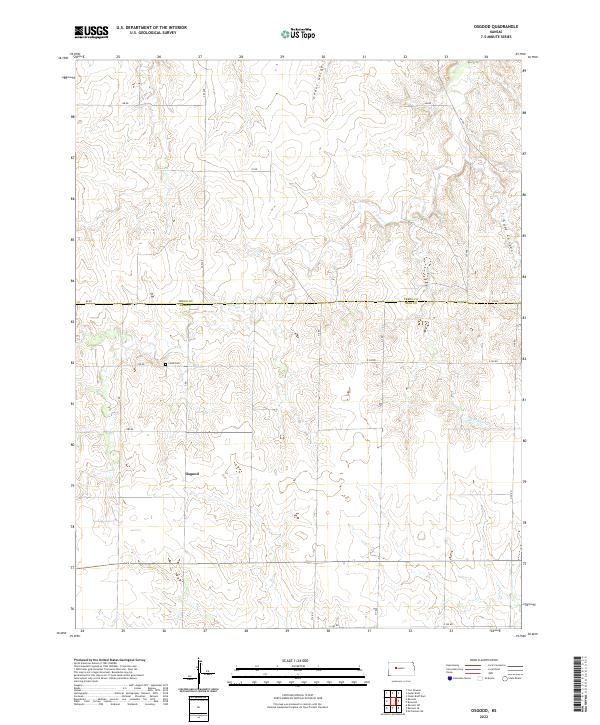 2022 Osgood2022 Print · USGSNess County and Trego County are captured here at the start of the 2020s, showing a landscape of high plains agriculture and deep drainage gorges. Researchers can locate the Cyrus Cem and the settlement of Osgood alongside natural features like Goat Canyon and Page Cr.
 - 2022 Map of Trego Center NE, 2022 Print
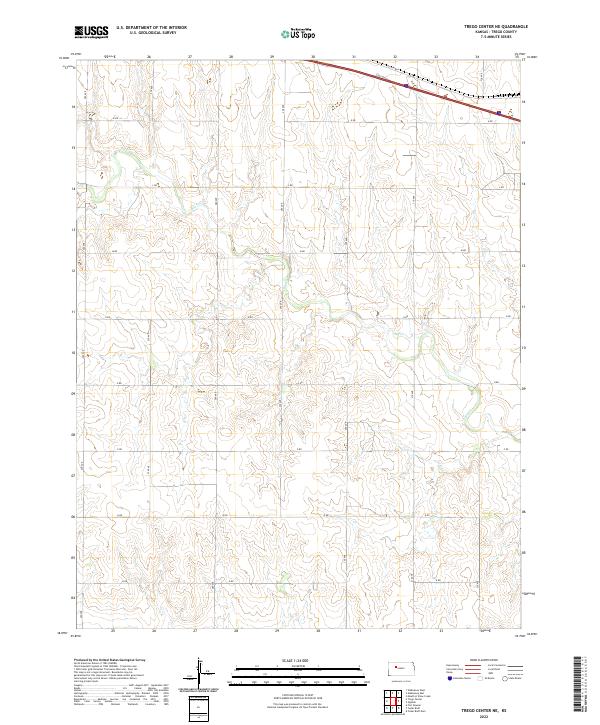 2022 Trego Center NE2022 Print · USGSTrego County in the early twenty-first century remains defined by its rhythmic grid of section-line roads and the winding path of Big Cr. Genealogists and local historians can trace property boundaries and land use along Old Hwy 40 and secondary routes like M Rd or 270 Ave.
 - 2022 Map of Ogallah, 2022 Print
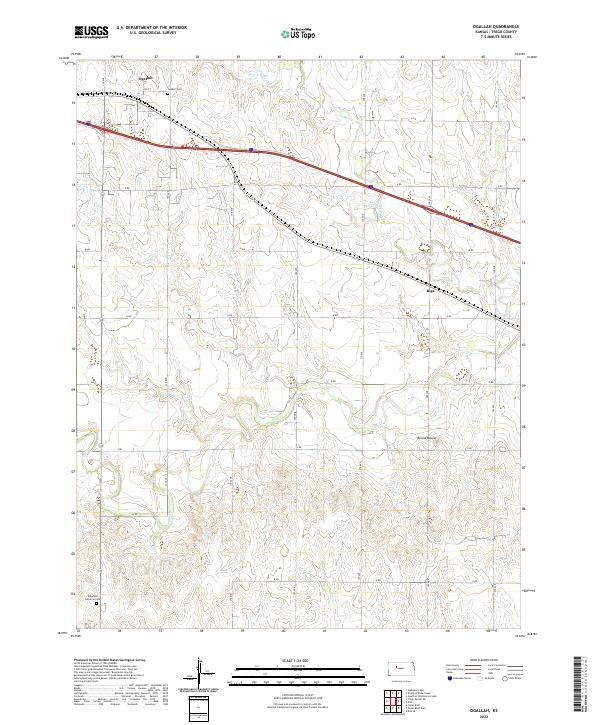 2022 Ogallah2022 Print · USGSTrego County’s high plains are captured here in the early 2020s, showing a landscape defined by organized agricultural townships and quiet rural settlements. Researchers can trace family history through sites like Ogallah Cem and Emanuel Lutheran Cem or locate the landmark Round Mound.
 - 2022 Map of Castle Rock NE, 2022 Print
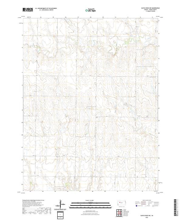 2022 Castle Rock NE2022 Print · USGSTrego County in the modern era remains a landscape defined by its prairie drainages and the rigid grid of rural section roads. Researchers can trace the winding course of Big Cr and the fork of E Br Downer Cr across the township lines of T12S R25W.
 - 2022 Map of Trego Center, 2022 Print
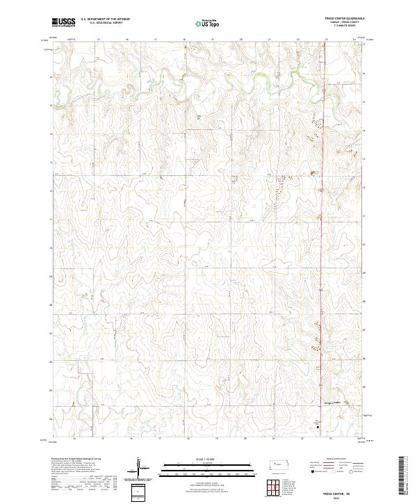 2022 Trego Center2022 Print · USGSTrego County is captured in this modern survey of its agricultural heartland as the landscape remains defined by prairie creek beds and section-line roads. Genealogists can locate family sites near the Zion Lutheran Cem or trace the drainage of Big Cr and Downer Cr.
 - 2022 Map of Castle Rock NW, 2022 Print
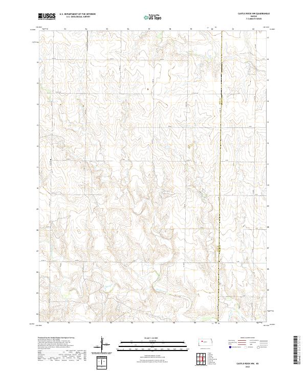 2022 Castle Rock NW2022 Print · USGSThe high plains of Gove and Trego counties are captured in this modern survey, showing the enduring grid of the rural landscape. Genealogists and local historians can locate the Red Top Cem and trace the many branches of Hackberry Cr.
 - 2022 Map of Ransom, 2022 Print
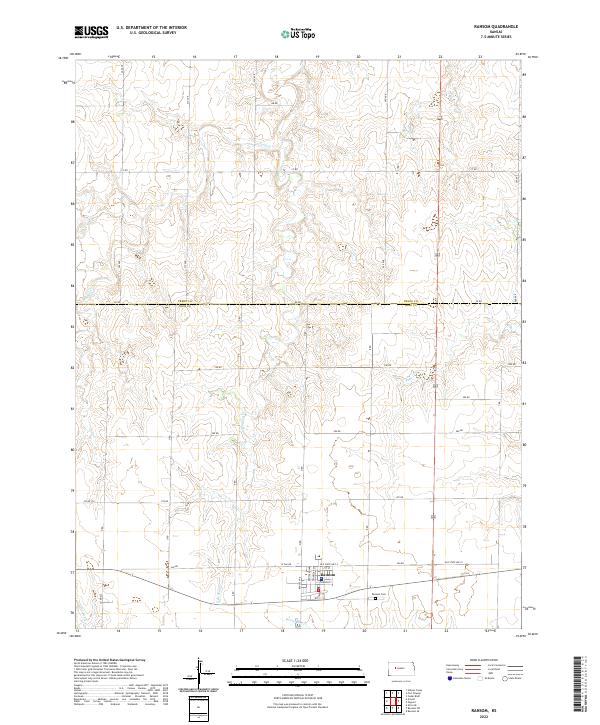 2022 Ransom2022 Print · USGSNess County and the surrounding high plains are captured here in the early twenty-first century, centered on the settlement of Ransom. Family historians can locate the Ransom Cem and trace seasonal watercourses like Sand Cr and Bazine Dry Cr.
 - 2022 Map of Ellis, 2022 Print
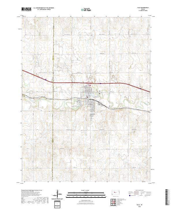 2022 Ellis2022 Print · USGSThe western Kansas community of Ellis is documented here in the early 2020s, showcasing its role as a transit hub between the plains and Big Cr. Genealogists and local historians can trace burial sites at Mount Hope Cem or follow the route of historic Old Hwy 40.
 - 2022 Map of Fort Downer, 2022 Print
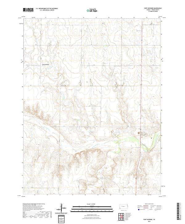 2022 Fort Downer2022 Print · USGSThe Trego County plains are captured here in the early twenty-first century, showing a landscape defined by the Smoky Hill River. Genealogists and historians can trace the topography around Fort Downer and follow the drainage of Downer Cr.
 - 2022 Map of Collyer, 2022 Print
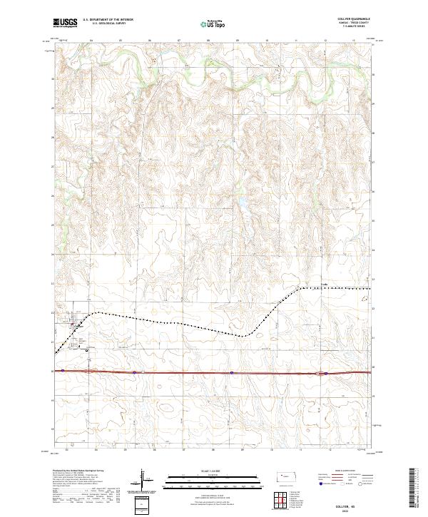 2022 Collyer2022 Print · USGSThe High Plains town of Collyer and the small station of Voda are captured in this modern survey of Trego County. Researchers can trace local history through the Saint Michael's Cem and the course of the Saline River.
 - 2022 Map of Redline Church, 2022 Print
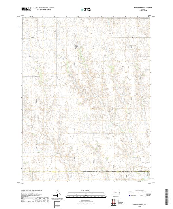 2022 Redline Church2022 Print · USGSGraham County at the Trego line is captured here in its quiet, high-plains character. Genealogists and local historians can pinpoint the precise locations of the Redline Cem and Morlan Township Cem near the waters of the Saline River.
 - 2022 Map of WaKeeney West, 2022 Print
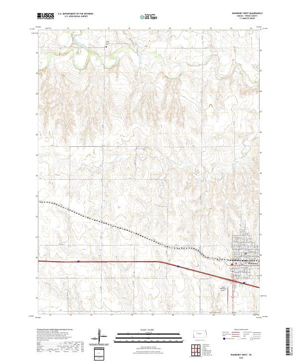 2022 WaKeeney West2022 Print · USGSThe western reaches of WaKeeney and the surrounding Trego County plains are documented here in the early twenty-first century. Researchers can locate civic landmarks like the Trego County Courthouse, the Saline Valley Cem, and the path of Old Hwy 40.
 - 2022 Map of WaKeeney East, 2022 Print
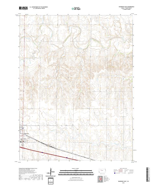 2022 WaKeeney East2022 Print · USGSThe High Plains landscape of eastern Trego County is shown here in the early 2020s, centered on the growth of WaKeeney and the Saline River valley. Genealogists can trace family plots at the Kansas Veterans Cem at WaKeeney or follow the historic path of Old Hwy 40.
 - 2022 Map of Mouth of Shaw Creek, 2022 Print
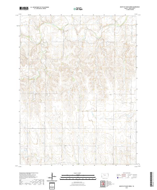 2022 Mouth of Shaw Creek2022 Print · USGSTrego County, Kansas, is shown in the early 2020s as a landscape of structured section lines and winding river breaks. Researchers can trace the drainage of the Saline River and its tributaries like Shaw Cr and E Spring Cr across the high plains.
Showing maps 1-25 of 30
Top cities of Trego County
Frequently asked questions
- What are the different types of historical maps available for Trego County?
- What is the oldest map of Trego County?
- Where can I purchase historical maps of Trego County for my home or office?
- Where can I download high-res historical maps of Trego County?
- Are there historical topographic maps available for Trego County?
- Is there historical aerial imagery available for Trego County?
- Where are historical maps of Trego County sourced from?