2000-2009 Maps of Trego County, Kansas
Explore 23 historic maps of Trego County from 2000-2009. These maps offer a rare glimpse into what life looked like during the 2000s — showing old roads, neighborhoods, homes, and landmarks that have changed or disappeared over time.
Whether you're researching your family's past, planning a metal detecting trip, or studying how Trego County's landscape evolved across the 2000s, these high-resolution maps are a powerful tool for exploring the history of this region.
- Focus on a specific era: All maps on this page are from the 2000s, giving you a focused view of this time period.
- See what’s changed: Compare century-old streets, trails, and buildings to today's modern landscape using overlays and satellite layers.
- Research with precision: Use these maps for genealogy, historical research, land use analysis, or educational projects.
- View, download, or print: Maps are fully viewable online in high resolution, and can be downloaded or printed for your own records.
Start exploring Trego County's history through authentic maps from the 2000s. This is your window into the past.
Trego County, KS maps
(23)- 2009 Map of Utica, 2009 Print
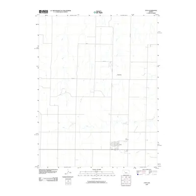 2009 Utica2009 Print · USGSThe town of Utica and the high plains of Western Kansas are captured here during the first decade of the 21st century. Researchers can trace local history through the streets of Utica, the Utica Cemetery, and small landmarks like Alanthus and Sand Creek.
 - 2009 Map of Arnold, 2009 Print
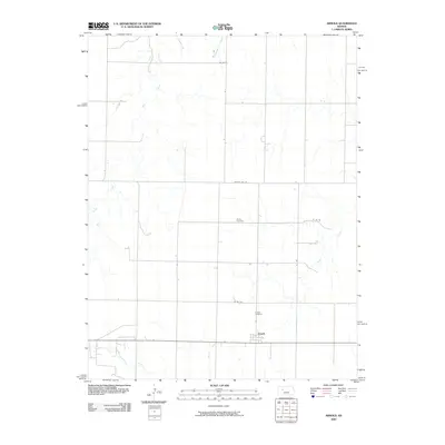 2009 Arnold2009 Print · USGSThe rural settlement of Arnold is captured in this early twenty-first-century survey of the Ness County prairie. Researchers can trace the local road grid and find significant landmarks like the Amish Cemetery, Arnold Cemetery, and the banks of Wild Horse Creek.
 - 2009 Map of Osgood, 2009 Print
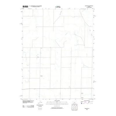 2009 Osgood2009 Print · USGSNess County at the turn of the millennium remains a landscape of high plains agriculture and quiet rural crossroads. Researchers can locate family landmarks such as Cyrus Cemetery and Brownwell Cemetery, or trace the winding course of Goat Canyon and Page Creek.
 - 2009 Map of Brownell, 2009 Print
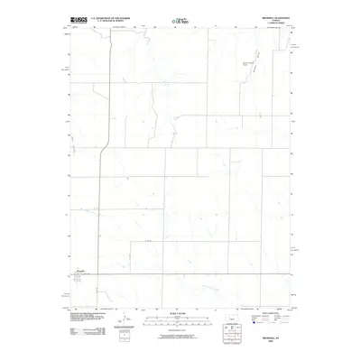 2009 Brownell2009 Print · USGSNess County settlement patterns and High Plains drainage are captured here during the first decade of the millennium. Genealogists and historians can locate properties near Brownell or trace landmarks like Round House Rock and the winding Big Timber Creek.
 - 2009 Map of Ellis SE, 2009 Print
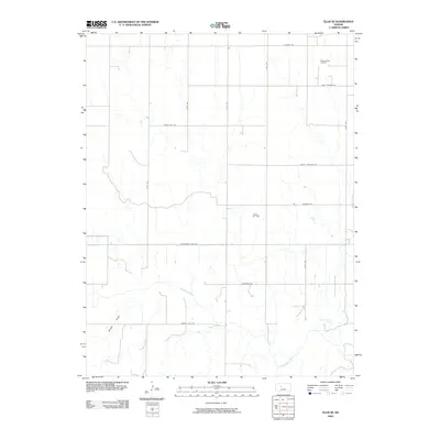 2009 Ellis SE2009 Print · USGSEllis County's high plains are mapped here in the early twenty-first century, showing a landscape defined by the Smoky Hill River and energy extraction. Trace the local impact of the Pleasant West Oil Field and the historic path of Butterfield Trail Rd.
 - 2009 Map of Ransom, 2009 Print
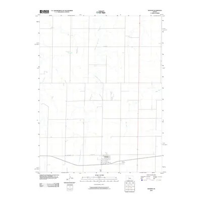 2009 Ransom2009 Print · USGSRansom and the surrounding Ness County plains are shown here in the late 2000s, reflecting a traditional Kansas agricultural layout. Researchers can trace local lineage at Ransom Cemetery and follow the paths of Sand Creek and Old State Hwy 4.
 - 2009 Map of McCracken NE, 2009 Print
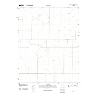 2009 McCracken NE2009 Print · USGSThe rural expanses of Ellis County are captured here in the late 2000s, showing a landscape defined by traditional section lines and prairie drainage. Researchers can trace the path of Snake Creek and locate property boundaries along S County Line Rd and Ellis Ave.
 - 2009 Map of Ellis, 2009 Print
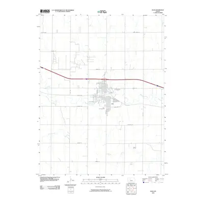 2009 Ellis2009 Print · USGSThe town of Ellis is shown at the end of the first decade of the 2000s, centered on the winding path of Big Creek. Genealogists and local historians can trace family plots at Mount Hope Cemetery or explore the nearby Pleasant Oil Field and Locust Grove.
 - 2009 Map of Fort Downer, 2009 Print
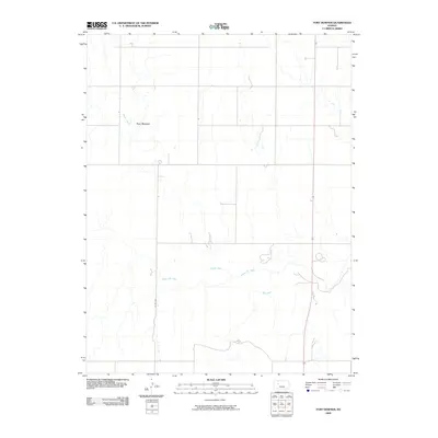 2009 Fort Downer2009 Print · USGSThe Trego County plains are documented here at the turn of the millennium, centered on the location of a former frontier military post. Genealogists and historians can trace the local drainage system near Fort Downer, where Downer Creek meets the Smoky Hill River.
 - 2009 Map of Trego Center NE, 2009 Print
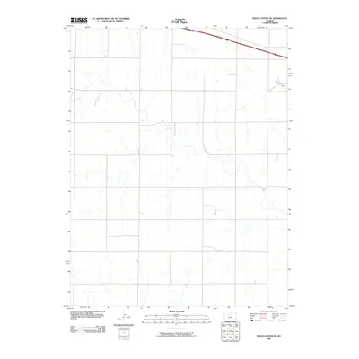 2009 Trego Center NE2009 Print · USGSTrego County is captured at the close of the first decade of the millennium, showing a landscape of high plains agriculture and energy production. Genealogists and researchers can trace the course of Big Creek or locate the extent of the Ogallah Oil Field.
 - 2009 Map of Hay Hollow, 2009 Print
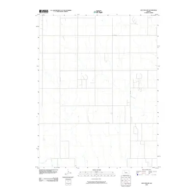 2009 Hay Hollow2009 Print · USGSTrego County, Kansas, is captured in this early twenty-first-century topographic survey of the rural High Plains. Genealogists and local historians can trace the course of the North Fork Saline River and the meandering drainage of Happy Creek among section roads like Co Rd 639.
 - 2009 Map of Togo, 2009 Print
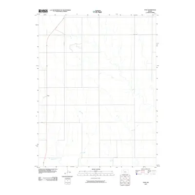 2009 Togo2009 Print · USGSGraham County plains are captured here in the early twenty-first century, showing the intersection of rural life and natural drainage. Researchers can trace the section-line roads and the winding paths of Chalk Creek and Happy Creek near the settlement of Togo.
 - 2009 Map of Wild Horse Creek, 2009 Print
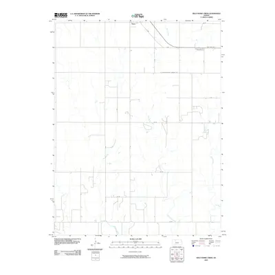 2009 Wild Horse Creek2009 Print · USGSWestern Kansas farmland around the community of Palco is documented here during the early twenty-first century. Researchers can trace the drainage of Wild Horse Creek and Spring Creek through the systematic grid of rural section roads.
 - 2009 Map of Redline Church, 2009 Print
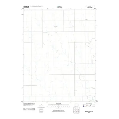 2009 Redline Church2009 Print · USGSTrego County is captured here in the early twenty-first century, showing a high plains landscape defined by its cemetery locations and river drainage. Researchers can pinpoint ancestral sites at Morlan Township Cemetery or follow the path of the Saline River.
 - 2009 Map of Mouth of Shaw Creek, 2009 Print
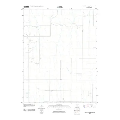 2009 Mouth of Shaw Creek2009 Print · USGSTrego County is captured at the end of the first decade of the millennium, showing a prairie landscape shaped by the Saline River. Genealogists and researchers can trace local land routes like Cemetery Rd and Riga Rd through this rural drainage basin.
 - 2009 Map of Mouth of Wild Horse Creek, 2009 Print
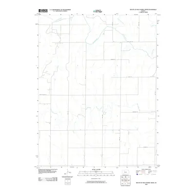 2009 Mouth of Wild Horse Creek2009 Print · USGSEllis County at the end of the first decade of the 2000s shows a landscape deeply tied to its watercourses and rural road network. Trace the winding path of the Saline River and locate family homesteads along Homestead Rd and Wiles Rd.
 - 2009 Map of Castle Rock NE, 2009 Print
 2009 Castle Rock NE2009 Print · USGSTrego County’s high plains and rural corridors are captured here at the turn of the millennium. Genealogists and land researchers can trace the section lines and watercourses of Big Creek and the southern reaches of Trego Center Rd.
 - 2009 Map of Castle Rock, 2009 Print
 2009 Castle Rock2009 Print · USGSGove County, Kansas, is shown here in the early twenty-first century, centered on the distinctive chalk spire of Castle Rock. Researchers can trace the winding course of the Smoky Hill River and its interaction with local routes like Gove 80.
 - 2009 Map of Castle Rock NW, 2009 Print
 2009 Castle Rock NW2009 Print · USGSGove County, Kansas, is shown here in the early twenty-first century as a landscape of grid-patterned roads and prairie drainage. Researchers can locate the Red Top Cemetery and trace the paths of Big Creek and Hackberry Creek through the plains.
 - 2009 Map of Collyer, 2009 Print
 2009 Collyer2009 Print · USGSCollyer and the surrounding Trego County plains are shown at the end of the first decade of the new millennium. Researchers can trace family sites at Saint Michaels Cemetery, the rural settlement of Voda, and the drainage of Coyote Creek.
 - 2009 Map of Gibson Creek, 2009 Print
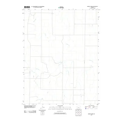 2009 Gibson Creek2009 Print · USGSThe High Plains of Western Kansas are defined here in the early twenty-first century by the winding Smoky Hill River and its many tributaries. Genealogists and land researchers can trace the rural landscape via Hackberry Creek, Voda Rd, and the namesake Gibson Creek.
 - 2009 Map of Quinter, 2009 Print
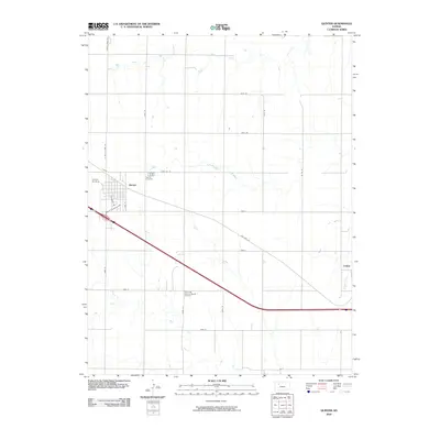 2009 Quinter2009 Print · USGSGove County as it appeared at the turn of the millennium shows the transition from historic prairie trails to modern interstate travel. Genealogists and local historians can locate the Old Order German Baptist Cemetery, Quinter Cemetery, and the path of Old Hwy 40.
 - 2009 Map of Quinter NW, 2009 Print
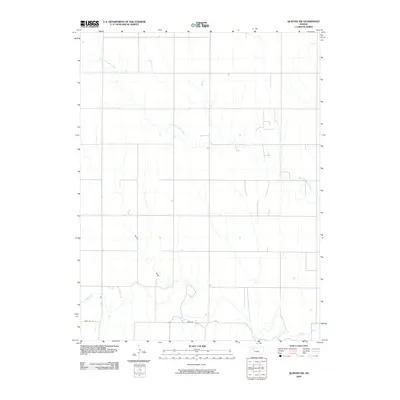 2009 Quinter NW2009 Print · USGSGove County, Kansas, is captured in this early 21st-century survey, showcasing the rural landscape as it transitions toward the Saline River valley. Genealogists and local historians can trace the paths of the North Fork Saline River, Turner Draw, and Plum Cr across the open plains.
End of results
Showing maps 1-23 of 23
Top cities of Trego County
Frequently asked questions
- What are the different types of historical maps available for Trego County?
- What is the oldest map of Trego County?
- Where can I purchase historical maps of Trego County for my home or office?
- Where can I download high-res historical maps of Trego County?
- Are there historical topographic maps available for Trego County?
- Is there historical aerial imagery available for Trego County?
- Where are historical maps of Trego County sourced from?