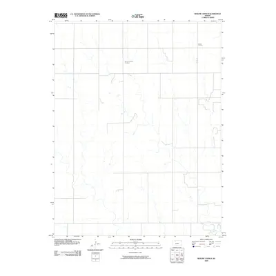
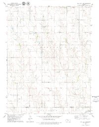
2009 Map of Redline Church
USGS Topo · Published 2009About this map
Morlan Township Cemetery and Redline Cemetery anchor this section of Trego County, serving as critical points of reference in an expansive agricultural landscape. This 2009 survey by the U.S. Geological Survey illustrates a rural terrain defined by the dendritic drainage patterns of the Saline River, which flows through the southern portion of the area. The map highlights the sparse infrastructure characteristic of western Kansas, where connectivity is maintained primarily through local routes like Co Rd 571. The placement of these burial grounds amidst the sectional grid provides important data for genealogists and local historians tracing the lineage of families within Morlan Township.
Find a feature on this map
4 named features on this map. Tap any name to fly to it.
Don’t see what you’re looking for? This feature index may not catch every label — zoom into the map to look around manually.
Map Details
Editions of this 2009 Redline Church Map
This is the sole edition of this map. No revisions or reprints were ever made.
Other maps of this area

1893 · Hill
USGS Topo · 1:125,000

1955 · Beloit
USGS Topo · 1:250,000

1959 · Beloit
USGS Topo · 1:250,000
1962 · Wa Keeney East
USGS Topo · 1:24,000
1963 · Hill City 4 SE
USGS Topo · 1:24,000
1963 · Hill City 4 SW
USGS Topo · 1:24,000

1969 · Palco
USGS Topo · 1:24,000

1979 · Bogue
USGS Topo · 1:24,000

1979 · Hill City South
USGS Topo · 1:24,000
1979 · Hill City 4 NW
USGS Topo · 1:24,000