Old Maps of Yates Center, Kansas for Academic Research
Study the evolution of Yates Center with 27 high-resolution historic maps. Whether you're teaching, researching, or modeling changes in land use, these maps provide essential visual documentation of urban, environmental, and geographic change.
- Analyze long-term change: Track patterns in development, transportation, and natural features.
- Ideal for environmental or urban studies: Support academic projects with primary historical map data.
- Use in the classroom or lab: Educators and researchers rely on these maps to bring historical context to life.
These maps are a powerful tool for teaching, research, and visualizing how Yates Center has changed over the decades.
Yates Center, KS maps
(27)- 1886 Map of Fredonia
 1886 Fredonia1886 Print · USGSSoutheast Kansas in the mid-1880s was a land of emerging rail hubs and river valley settlements. Researchers can trace early railroad expansion through Fredonia and Yates Center or locate long-standing communities like Toronto, New Albany, and Coyville.
 - 1894 Map of Fredonia
 1894 Fredonia1894 Print · USGSSoutheast Kansas is documented here during a period of rapid railway expansion and prairie settlement. Genealogists and local researchers can trace the early footprints of Fredonia, Yates Center, and vanished sites like Twin Mounds or Coyville.6 unique versions available
 - 1947 Map of Joplin, 1954 Print
 1947 Joplin1954 Print · USGSThe borderlands of Missouri, Kansas, and Oklahoma are shown here during the late 1940s, a period of heavy industrial and military activity. Researchers can trace the extensive Tri-State Mining District, the layout of Camp Crowder, and local landmarks like Mount Hope Cem.
 - 1949 Map of Joplin
 1949 Joplin1949 Print · USGSThe Kansas-Missouri borderlands thrive in the late 1940s, showing a robust network of railroad towns and river valleys. Researchers can trace historic rail lines like the Missouri Pacific RR and locate rural centers such as Chanute, Iola, and Fort Scott.
 - 1954 Map of Joplin, 1967 Print
 1954 Joplin1967 Print · USGSThe tri-state border region of Kansas, Missouri, and Oklahoma is captured here during a peak era of mid-century industrial and agricultural activity. Researchers can trace family history through dozens of rural cemeteries or locate landmarks like the Kansas Army Ammunition Plant and Pittsburg State University.3 unique versions available
 - 1958 Map of Joplin
 1958 Joplin1958 Print · USGSThe tri-state border region of Missouri, Kansas, and Oklahoma is shown during the late fifties, a time of heavy rail traffic and mining activity. Local historians can trace the industrial landscape through the Joplin & Pittsburg Ry or locate family sites like Zion Ch and Bender Mounds.
 - 1959 Map of Joplin
 1959 Joplin1959 Print · USGSThe Tri-State region’s mining and rail-driven economy is on full display in the late fifties. Genealogists can locate Lead and Zinc Mines near Joplin, family markers at Oak Hill Cem, and military history at Camp Clark.
 - 1968 Map of Rose, 1969 Print
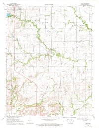 1968 Rose1969 Print · USGSWoodson County in the late sixties shows a landscape of steady agricultural and industrial transition. Researchers can trace the INDIAN TREATY BOUNDARY and locate family history sites like Pleasant Valley Cem and the New York Valley Ch.
 - 1968 Map of Toronto SE, 1969 Print
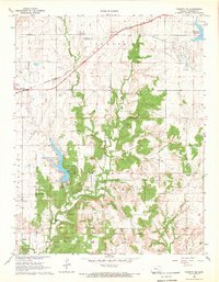 1968 Toronto SE1969 Print · USGSWoodson County's rural townships and oil fields are captured here in the late sixties. Researchers can trace the Old Indian Treaty Boundary and locate local landmarks like Belmont Cem and the rail-side settlement of Batesville.
 - 1969 Map of Yates Center, 1971 Print
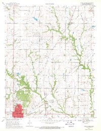 1969 Yates Center1971 Print · USGSWoodson County at the close of the sixties reveals a transition from rail-dependent agriculture to an oil-driven economy. Genealogists can trace family locations near Yates Center, the rural Dutro Cem, or the small community of Durand along the Missouri Pacific line.2 unique versions available
 - 1985 Map of Chanute, 1986 Print
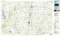 1985 Chanute1986 Print · USGSSoutheast Kansas in the mid-1980s reveals a robust landscape of river-valley agriculture and intersecting rail lines through Neosho and Allen counties. Genealogists and local historians can trace family roots through small settlements like Piqua, locate the Mt Hope Cem, or follow the path of the Old Indian Treaty Boundary.
 - 1990 Map of Chanute
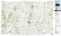 1990 Chanute1990 Print · USGSSoutheast Kansas at the start of the nineties reveals a landscape of river-valley towns and agricultural hubs. Researchers can trace the paths of the Missouri Pacific RR through Iola or locate family roots near Savonburg, Thayer, and Buffalo.
 - 2009 Map of Yates Center, 2009 Print
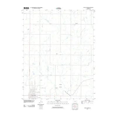 2009 Yates Center2009 Print · USGSWoodson County in the early twenty-first century reflects a landscape of traditional agriculture and persistent energy production. Trace family roots and local history through the grid of Yates Center, the Dutro Cemetery, and small centers like Durand and Vernon.
 - 2009 Map of Toronto SE, 2009 Print
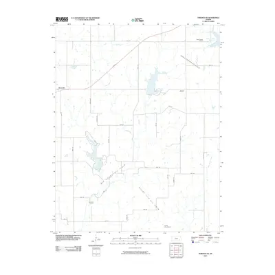 2009 Toronto SE2009 Print · USGSWoodson County at the end of the 2000s shows a landscape shaped by petroleum extraction and steady rural life. Genealogists and historians can trace family locations near Belmont Cemetery or explore the geography of the Big Sandy Oil Field.
 - 2009 Map of Rose, 2009 Print
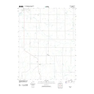 2009 Rose2009 Print · USGSWoodson County at the end of the first decade of the 2000s shows a landscape of steady agricultural heritage and quiet settlements. Genealogists can locate family landmarks at Kalida Cemetery or Pleasant Valley Cemetery, and trace the area around Rose.
 - 2012 Map of Yates Center, 2012 Print
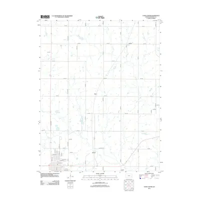 2012 Yates Center2012 Print · USGSWoodson County at the start of the 2010s shows a classic Kansas landscape of grid-aligned farms and active energy production. Researchers can trace the layout of small settlements like Durand and Vernon, locate the Dutro Cem, and map the extent of the Durand Oil Field.
 - 2012 Map of Rose, 2012 Print
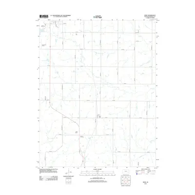 2012 Rose2012 Print · USGSWoodson County's rural landscape is captured here in the early twenty-first century, featuring the small settlement of Rose. Genealogists and local historians can locate Kaila Cemetery and Pleasant Valley Cemetery among the grid of family-named roads and natural features like Rose Dome.
 - 2012 Map of Toronto SE, 2012 Print
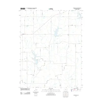 2012 Toronto SE2012 Print · USGSWoodson County in the early twenty-first century remains a landscape defined by prairie water and the enduring footprints of the oil industry. Genealogists and historians can locate rural landmarks like Big Sandy Cem, the settlement of Batesville, and the extensive Big Sandy Oil Field.
 - 2015 Map of Rose, 2015 Print
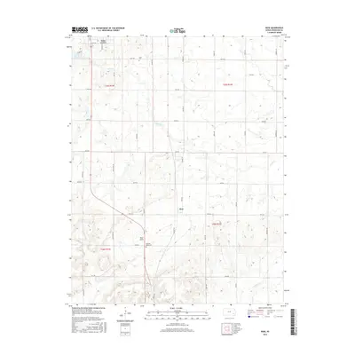 2015 Rose2015 Print · USGSWoodson County at the start of the twenty-first century reveals a landscape of structured section lines and quiet prairie settlements. Genealogists and local historians can trace family roots through landmarks like Pleasant Valley Cem and the unique geological rise of Rose Dome.
 - 2015 Map of Toronto SE, 2015 Print
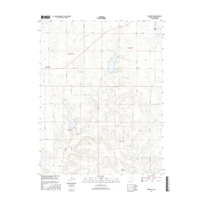 2015 Toronto SE2015 Print · USGSWoodson County in the mid-2010s shows a landscape of steady agricultural grids and winding creek beds. Researchers can trace family history at Belmont Cem or Big Sandy Cem and explore the unique geology of the Silver City Dome.
 - 2015 Map of Yates Center, 2015 Print
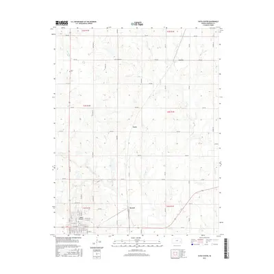 2015 Yates Center2015 Print · USGSWoodson County at the midpoint of the 2010s reveals a structured landscape where the county seat meets rural prairie life. Researchers can trace family sites near Dutro Cem or follow the paths of School Creek and Bloody Run past Hasty.
 - 2018 Map of Yates Center, 2018 Print
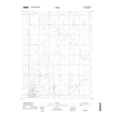 2018 Yates Center2018 Print · USGSWoodson County at the end of the second decade of the 2000s shows a landscape of steady agricultural roots and small-town centers. Genealogists and local researchers can trace the detailed street plan of Yates Center, find the Dutro Cem, and locate rural crossroads like Vernon and Durand.
 - 2018 Map of Rose, 2018 Print
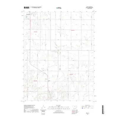 2018 Rose2018 Print · USGSWoodson County remains a landscape of structured rural sections and quiet creek drainages in the late twenty-first century. Genealogists and local historians can locate Kalida Cem, trace the unusual geology of Rose Dome, and explore the area around the settlement of Rose.
 - 2018 Map of Toronto SE, 2018 Print
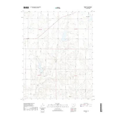 2018 Toronto SE2018 Print · USGSWoodson County’s rural landscape is documented here in the early twenty-first century, centered on the outskirts of Yates Center. Researchers can locate family landmarks like Belmont Cem and trace the winding paths of Sandy Cr and W Buffalo Cr.
 - 2022 Map of Toronto SE, 2022 Print
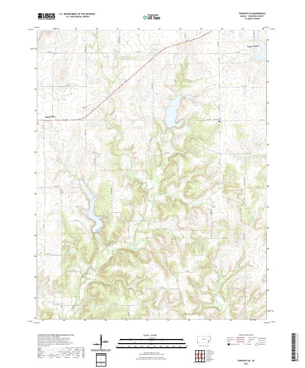 2022 Toronto SE2022 Print · USGSWoodson County at the start of the 2020s remains a landscape of prairie drainages and quiet rural crossroads. Researchers can locate family sites near Big Sandy Cem, the village of Batesville, and the geological rise of Silver City Dome.
Showing maps 1-25 of 27
Top cities near Yates Center
Frequently asked questions
- What are the different types of historical maps available for Yates Center?
- What is the oldest map of Yates Center?
- Where can I purchase historical maps of Yates Center for my home or office?
- Where can I download high-res historical maps of Yates Center?
- Are there historical topographic maps available for Yates Center?
- Is there historical aerial imagery available for Yates Center?
- Where are historical maps of Yates Center sourced from?