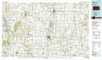
Old Maps of Yates Center, Kansas for Hiking & Exploration
Hike through history with 27 historic maps of Yates Center. Explore old trails, ghost towns, and forgotten backroads — perfect for outdoor adventurers and local explorers.
- Rediscover forgotten places: Map out old mining camps, roads, and footpaths that no longer exist on modern maps.
- Layer with modern tools: Combine with LiDAR or satellite views to plan hikes through historical terrain.
- Made for exploration: Popular among hikers, overlanders, and local history lovers.
Use these maps to find adventure and explore the hidden past of Yates Center.
Yates Center, KS maps
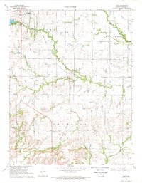
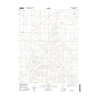
(27)- 1886 Map of Fredonia
 1886 Fredonia1886 Print · USGSSoutheast Kansas in the mid-1880s was a land of emerging rail hubs and river valley settlements. Researchers can trace early railroad expansion through Fredonia and Yates Center or locate long-standing communities like Toronto, New Albany, and Coyville.
 - 1894 Map of Fredonia
 1894 Fredonia1894 Print · USGSSoutheast Kansas is documented here during a period of rapid railway expansion and prairie settlement. Genealogists and local researchers can trace the early footprints of Fredonia, Yates Center, and vanished sites like Twin Mounds or Coyville.6 unique versions available
 - 1947 Map of Joplin, 1954 Print
 1947 Joplin1954 Print · USGSThe borderlands of Missouri, Kansas, and Oklahoma are shown here during the late 1940s, a period of heavy industrial and military activity. Researchers can trace the extensive Tri-State Mining District, the layout of Camp Crowder, and local landmarks like Mount Hope Cem.
 - 1949 Map of Joplin
 1949 Joplin1949 Print · USGSThe Kansas-Missouri borderlands thrive in the late 1940s, showing a robust network of railroad towns and river valleys. Researchers can trace historic rail lines like the Missouri Pacific RR and locate rural centers such as Chanute, Iola, and Fort Scott.
 - 1954 Map of Joplin, 1967 Print
 1954 Joplin1967 Print · USGSThe tri-state border region of Kansas, Missouri, and Oklahoma is captured here during a peak era of mid-century industrial and agricultural activity. Researchers can trace family history through dozens of rural cemeteries or locate landmarks like the Kansas Army Ammunition Plant and Pittsburg State University.3 unique versions available
 - 1958 Map of Joplin
 1958 Joplin1958 Print · USGSThe tri-state border region of Missouri, Kansas, and Oklahoma is shown during the late fifties, a time of heavy rail traffic and mining activity. Local historians can trace the industrial landscape through the Joplin & Pittsburg Ry or locate family sites like Zion Ch and Bender Mounds.
 - 1959 Map of Joplin
 1959 Joplin1959 Print · USGSThe Tri-State region’s mining and rail-driven economy is on full display in the late fifties. Genealogists can locate Lead and Zinc Mines near Joplin, family markers at Oak Hill Cem, and military history at Camp Clark.
 - 1968 Map of Rose, 1969 Print
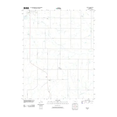
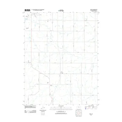
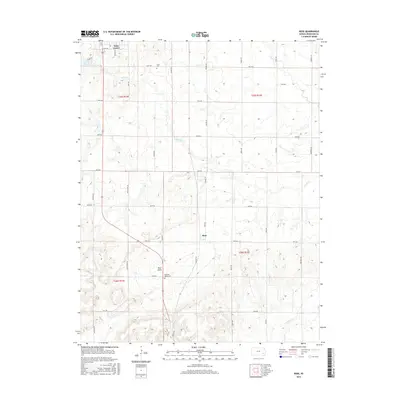
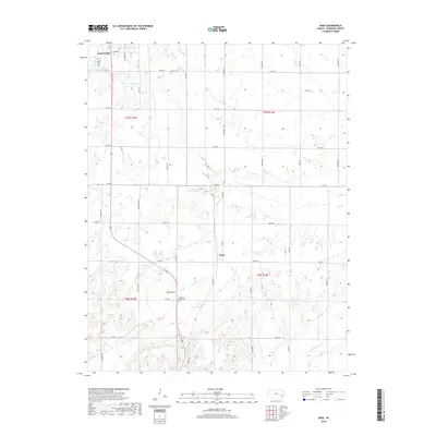
 1968 Rose1969 Print · USGSWoodson County in the late sixties shows a landscape of steady agricultural and industrial transition. Researchers can trace the INDIAN TREATY BOUNDARY and locate family history sites like Pleasant Valley Cem and the New York Valley Ch.
 - 1968 Map of Toronto SE, 1969 Print
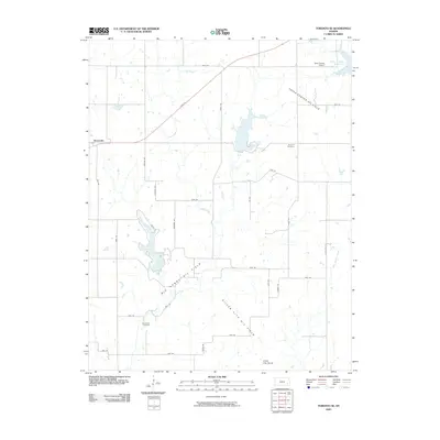
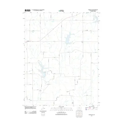
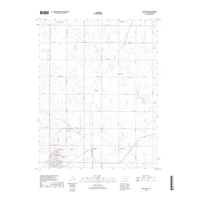
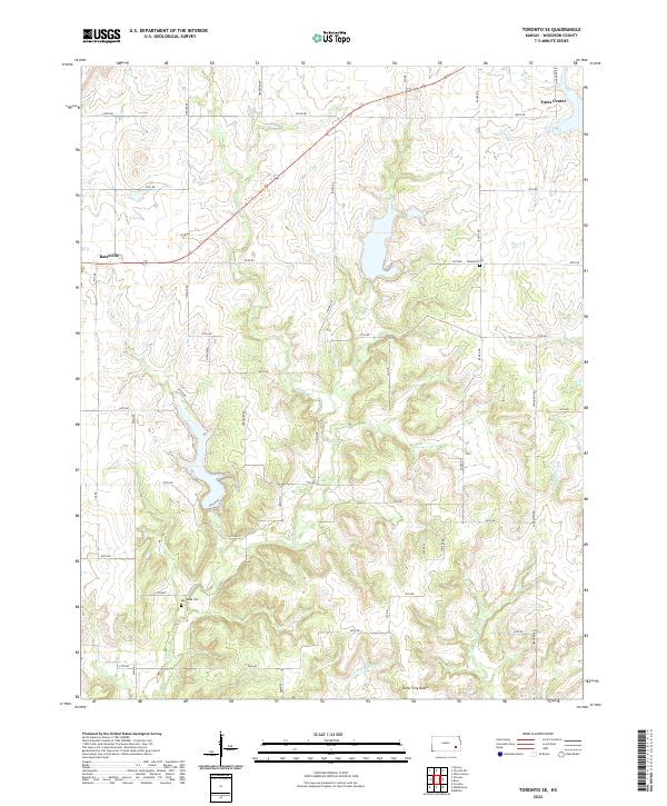
 1968 Toronto SE1969 Print · USGSWoodson County's rural townships and oil fields are captured here in the late sixties. Researchers can trace the Old Indian Treaty Boundary and locate local landmarks like Belmont Cem and the rail-side settlement of Batesville.
 - 1969 Map of Yates Center, 1971 Print
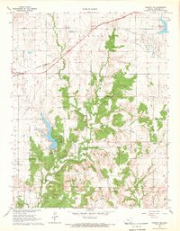
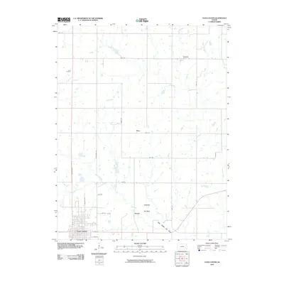
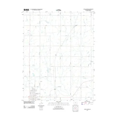
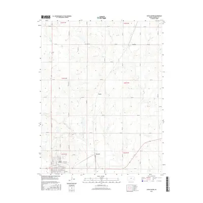
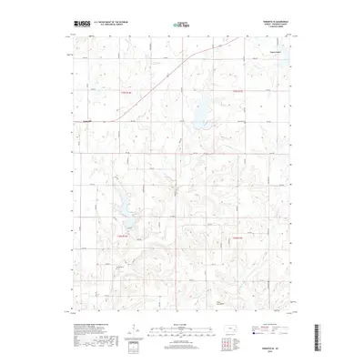
 1969 Yates Center1971 Print · USGSWoodson County at the close of the sixties reveals a transition from rail-dependent agriculture to an oil-driven economy. Genealogists can trace family locations near Yates Center, the rural Dutro Cem, or the small community of Durand along the Missouri Pacific line.2 unique versions available
 - 1985 Map of Chanute, 1986 Print
 1985 Chanute1986 Print · USGSSoutheast Kansas in the mid-1980s reveals a robust landscape of river-valley agriculture and intersecting rail lines through Neosho and Allen counties. Genealogists and local historians can trace family roots through small settlements like Piqua, locate the Mt Hope Cem, or follow the path of the Old Indian Treaty Boundary.
 - 1990 Map of Chanute
 1990 Chanute1990 Print · USGSSoutheast Kansas at the start of the nineties reveals a landscape of river-valley towns and agricultural hubs. Researchers can trace the paths of the Missouri Pacific RR through Iola or locate family roots near Savonburg, Thayer, and Buffalo.
 - 2009 Map of Yates Center, 2009 Print
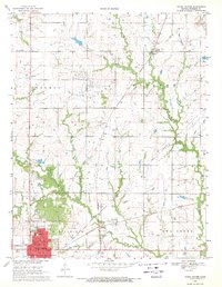
 2009 Yates Center2009 Print · USGSCovers Yates Center, including Durand, Vernon, and other nearby areas
 - 2009 Map of Toronto SE, 2009 Print
 2009 Toronto SE2009 Print · USGSCovers Yates Center, including Batesville, Woodson County, and other nearby areas
 - 2009 Map of Rose, 2009 Print
 2009 Rose2009 Print · USGSCovers Yates Center, including Rose, Woodson County, and other nearby areas
 - 2012 Map of Yates Center, 2012 Print
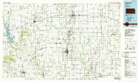
 2012 Yates Center2012 Print · USGSCovers Yates Center, including Durand, Vernon, and other nearby areas
 - 2012 Map of Rose, 2012 Print
 2012 Rose2012 Print · USGSCovers Yates Center, including Rose, Woodson County, and other nearby areas
 - 2012 Map of Toronto SE, 2012 Print
 2012 Toronto SE2012 Print · USGSCovers Yates Center, including Batesville, Woodson County, and other nearby areas
 - 2015 Map of Rose, 2015 Print
 2015 Rose2015 Print · USGSCovers Yates Center, including Rose, Woodson County, and other nearby areas
 - 2015 Map of Toronto SE, 2015 Print
 2015 Toronto SE2015 Print · USGSCovers Yates Center, including Batesville, Woodson County, and other nearby areas
 - 2015 Map of Yates Center, 2015 Print
 2015 Yates Center2015 Print · USGSCovers Yates Center, including Durand, Vernon, and other nearby areas
 - 2018 Map of Yates Center, 2018 Print
 2018 Yates Center2018 Print · USGSCovers Yates Center, including Durand, Vernon, and other nearby areas
 - 2018 Map of Rose, 2018 Print
 2018 Rose2018 Print · USGSCovers Yates Center, including Rose, Woodson County, and other nearby areas
 - 2018 Map of Toronto SE, 2018 Print
 2018 Toronto SE2018 Print · USGSCovers Yates Center, including Batesville, Woodson County, and other nearby areas
 - 2022 Map of Toronto SE, 2022 Print
 2022 Toronto SE2022 Print · USGSWoodson County at the start of the 2020s remains a landscape of prairie drainages and quiet rural crossroads. Researchers can locate family sites near Big Sandy Cem, the village of Batesville, and the geological rise of Silver City Dome.
Showing maps 1-25 of 27
Top cities near Yates Center
Frequently asked questions
- What are the different types of historical maps available for Yates Center?
- What is the oldest map of Yates Center?
- Where can I purchase historical maps of Yates Center for my home or office?
- Where can I download high-res historical maps of Yates Center?
- Are there historical topographic maps available for Yates Center?
- Is there historical aerial imagery available for Yates Center?
- Where are historical maps of Yates Center sourced from?