2010s Maps of Allen County, Kentucky
Explore 52 historic maps of Allen County from the 2010s. These maps offer a rare glimpse into what life looked like during the 2010s — showing old roads, neighborhoods, homes, and landmarks that have changed or disappeared over time.
Whether you're researching your family's past, planning a metal detecting trip, or studying how Allen County's landscape evolved across the 2010s, these high-resolution maps are a powerful tool for exploring the history of this region.
- Focus on a specific era: All maps on this page are from the 2010s, giving you a focused view of this time period.
- See what’s changed: Compare century-old streets, trails, and buildings to today's modern landscape using overlays and satellite layers.
- Research with precision: Use these maps for genealogy, historical research, land use analysis, or educational projects.
- View, download, or print: Maps are fully viewable online in high resolution, and can be downloaded or printed for your own records.
Start exploring Allen County's history through authentic maps from the 2010s. This is your window into the past.
Allen County, KY maps
(52)- 2010 Map of Lucas, 2010 Print
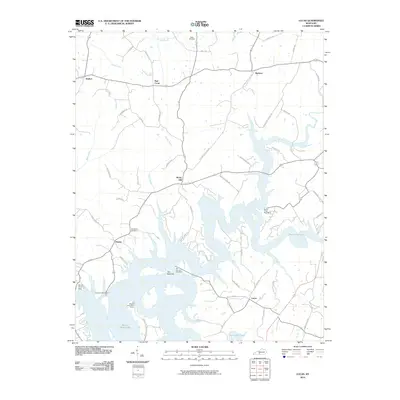 2010 Lucas2010 Print · USGSBarren County's lake-focused landscape is captured here in the early twenty-first century, centered on the communities of Lucas and Finney. Local historians can trace family roots through the Allen Cemetery or explore landmarks like the Barren River Dam and The Narrows.
 - 2010 Map of Scottsville, 2010 Print
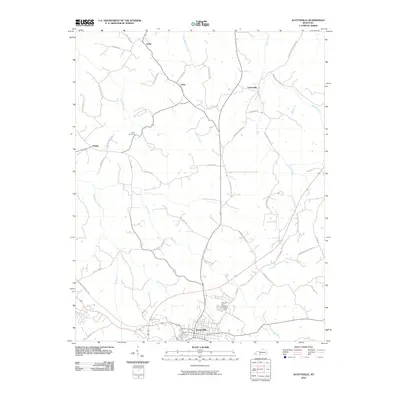 2010 Scottsville2010 Print · USGSAllen County at the start of the 2010s reveals a transition from traditional rural crossroads to modern regional connectivity. Researchers can trace family history through Crescent Hill Cemetery and local landmarks like Tabor Cemetery or the settlement at Gainesville.
 - 2010 Map of Austin, 2010 Print
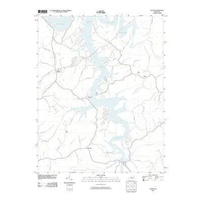 2010 Austin2010 Print · USGSBarren County's lakefront and rural hinterlands are captured here in the early twenty-first century, showing the intersection of old family lands and modern recreation. Trace local genealogy and geography at Austin Cemetery, the settlement of Maynard, or along Peter Creek.
 - 2010 Map of Meador, 2010 Print
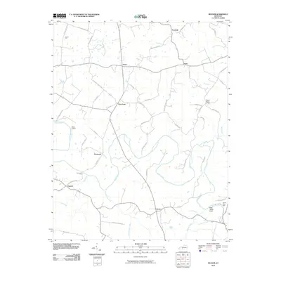 2010 Meador2010 Print · USGSWarren County’s river valleys and agricultural crossroads are captured here during a period of modern stability. Researchers can trace historic river crossings and small-town centers like Martinsville Ford, Berry Store, and Meador.
 - 2010 Map of Drake, 2010 Print
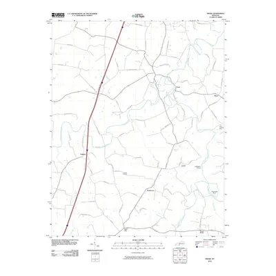 2010 Drake2010 Print · USGSIn the early twenty-first century, this corner of Kentucky remains defined by the forks of Drakes Creek and small rural hamlets. Researchers can trace family history through sites like Hopewell Cemetery, the remote Coldwater Hollow, and the crossroads at Gold City.
 - 2010 Map of Polkville, 2010 Print
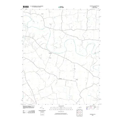 2010 Polkville2010 Print · USGSWarren County at the start of the 2010s shows a landscape of river-bend settlements and traditional family farmsteads. Trace local history through family-named landmarks like Kimbrough Cemetery and the river communities of Hardcastle and Motley.
 - 2010 Map of Tracy, 2010 Print
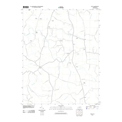 2010 Tracy2010 Print · USGSBarren County at the turn of the millennium remains a place of deep family roots and rural tradition. Genealogists can trace lineage through numerous sites like Kinslow and Burgess Cemetery, or locate the centers of Tracy and Etoile.
 - 2010 Map of Allen Springs, 2010 Print
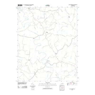 2010 Allen Springs2010 Print · USGSSouth-central Kentucky at the start of the 21st century reveals a landscape of dispersed settlements and winding creek valleys. Genealogists and local historians can trace family roots through sites like Sherry Cemetery and the crossroads at Allen Springs or Butlersville.
 - 2010 Map of Holland, 2010 Print
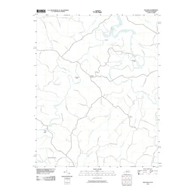 2010 Holland2010 Print · USGSCrossing the Kentucky-Tennessee border during the early twenty-first century, this area centers on the community of Holland and the winding Barren River. Researchers can trace family landmarks along Phillip Hatler Rd or locate the Bandy Cemetery near Pinchgut Creek.
 - 2010 Map of Hickory Flat, 2010 Print
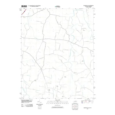 2010 Hickory Flat2010 Print · USGSThe Kentucky-Tennessee borderlands appear in high detail at the dawn of the new millennium, centered on the rural community of Rapids. Family historians can trace ancestral sites across several burial grounds, including Perdue Cemetery, Pirkle Cemetery, and Hobdy Cemetery.
 - 2010 Map of Petroleum, 2010 Print
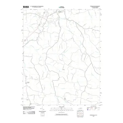 2010 Petroleum2010 Print · USGSThe rural landscape surrounding Scottsville is captured here in the early 21st century, showing the enduring road networks of southern Kentucky. Genealogists can trace family footprints through sites like Nancy Cemetery and Wagoner Hollow along the banks of Trammel Creek.
 - 2010 Map of Fountain Run, 2010 Print
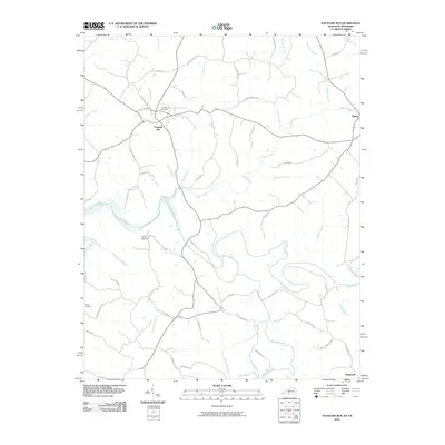 2010 Fountain Run2010 Print · USGSThe Kentucky and Tennessee borderlands come into focus in this late-career survey of Monroe County and its southern neighbors. Genealogists can trace family footprints near Fountain Run, Flippin, and the Roark Cemetery, or explore the winding banks of the Barren River.
 - 2010 Map of Adolphus, 2010 Print
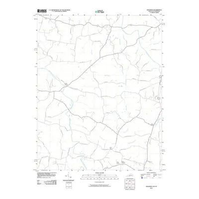 2010 Adolphus2010 Print · USGSSumner County at the start of the decade reveals a rural landscape shaped by long-standing family homesteads and winding waterways. Researchers can trace ancestral roots through sites like Hinton Cemetery, Roberts Tabernacle Cemetery, and the crossroads at Long Hollow.
 - 2013 Map of Tracy, 2013 Print
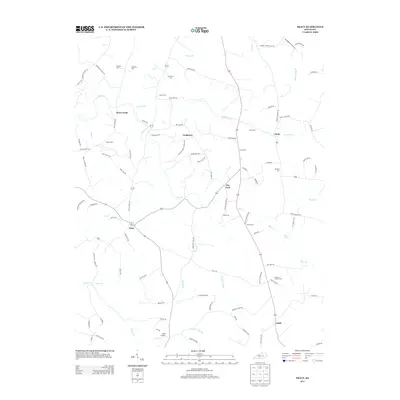 2013 Tracy2013 Print · USGSSouthern Barren County is characterized by a dense network of family-held lands and rural hamlets in the early twenty-first century. Genealogists and local historians can trace family-named sites across the countryside, from Tracy Cem and Burgess Cem to the small community at Cooktown.
 - 2013 Map of Fountain Run, 2013 Print
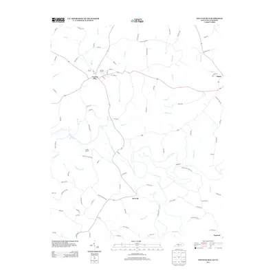 2013 Fountain Run2013 Print · USGSFountain Run and the surrounding Kentucky-Tennessee borderlands are captured here in the early twenty-first century. Genealogists and local researchers can trace family landmarks and rural communities such as Akersville, Bugtussle, and the Fountain Run Cem.
 - 2013 Map of Scottsville, 2013 Print
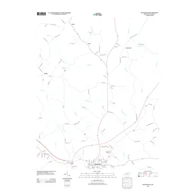 2013 Scottsville2013 Print · USGSAllen County in the early twenty-first century reveals a landscape of enduring rural communities and well-defined watercourses. Genealogists and local historians can trace family-named routes and landmarks like Crescent Hill Cem, Halifax, and Settle.
 - 2013 Map of Holland, 2013 Print
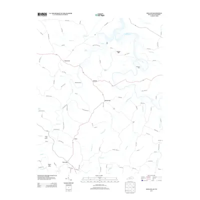 2013 Holland2013 Print · USGSAllen County and the Kentucky-Tennessee borderland are shown here in the early 2010s as a landscape of rural hamlets and winding creeks. Researchers can locate family landmarks like Bandy Cem and Roark Cem or trace the terrain through Emma Cook Hollow and Jewsharp Bend.
 - 2013 Map of Allen Springs, 2013 Print
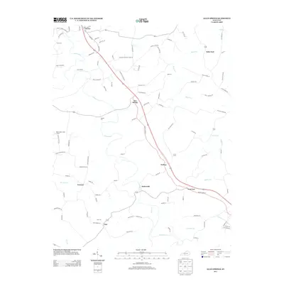 2013 Allen Springs2013 Print · USGSAllen County, Kentucky, is shown here in the early twenty-first century as a network of crossroads settlements and creek-side farms. Researchers can trace family history through sites like Pope Cem, locate the Boyce Wafer Farm Airport, and find old crossings at Raley Ford.
 - 2013 Map of Petroleum, 2013 Print
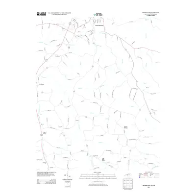 2013 Petroleum2013 Print · USGSThe Kentucky-Tennessee borderlands south of Scottsville come into focus on this 2013 survey, detailing a landscape of rural crossroads and narrow hollows. Researchers can trace family history through sites like Nancy Cem and explore local geography from Petroleum to the quiet stretch of Barefoot.
 - 2013 Map of Adolphus, 2013 Print
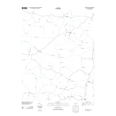 2013 Adolphus2013 Print · USGSThe borderlands of Kentucky and Tennessee near Sugar Grove and Adolphus are seen here in the early 2010s. Genealogists can trace family footprints across numerous burial grounds like Oak Forest Cem Number 1 and Union Chapel Cem near the Sugar Grove Airport.
 - 2013 Map of Lucas, 2013 Print
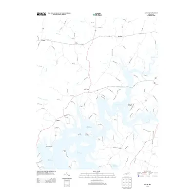 2013 Lucas2013 Print · USGSBarren County’s landscape is defined by the winding reaches of the reservoir and rural settlements in the early twenty-first century. Genealogists and local historians can trace family land near Allen Cem or locate the old community centers of Rocky Hill and Lucas.
 - 2013 Map of Polkville, 2013 Print
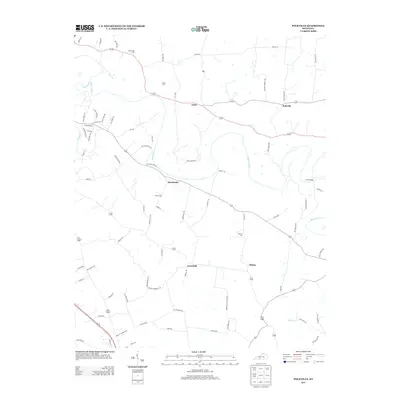 2013 Polkville2013 Print · USGSWarren County’s river valleys and rural settlements are captured here in the early twenty-first century. Genealogists can trace ancestral land near Hardcastle and Polkville, or locate family burial sites like Petty Cem and Kimbrough Cem.
 - 2013 Map of Meador, 2013 Print
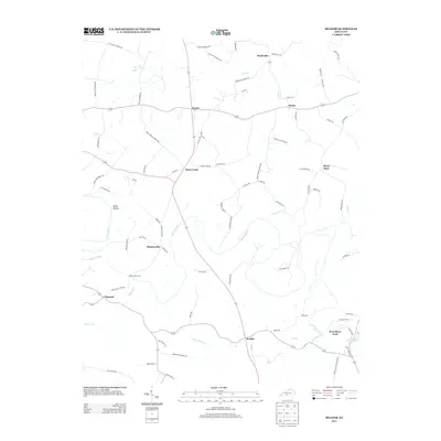 2013 Meador2013 Print · USGSWarren County’s river-bottom lands and rural crossroads are captured here during the early 2010s. Genealogists and local historians can trace family-named routes and historic river crossings such as Martinsville Ford, Berry Store, and Kepler.
 - 2013 Map of Drake, 2013 Print
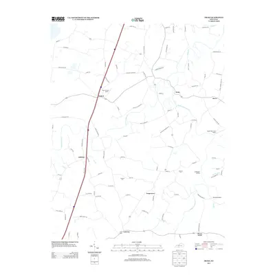 2013 Drake2013 Print · USGSAllen County rural life in the early 2010s is centered on small communities and a dense network of family-named roads. Researchers can trace local history through Hopewell Cem, the winding Middle Fork Drakes Cr, and the small settlement of Gold City.
 - 2013 Map of Hickory Flat, 2013 Print
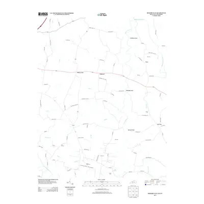 2013 Hickory Flat2013 Print · USGSThe borderlands between Kentucky and Tennessee are captured here in the early twenty-first century, showing a rural landscape anchored by small settlements. Genealogists can trace family names through numerous burial sites like Martins Chapel Cem and State Line Cem, or locate historic crossing points such as McElroy Ford.
Showing maps 1-25 of 52
Top cities of Allen County
Frequently asked questions
- What are the different types of historical maps available for Allen County?
- What is the oldest map of Allen County?
- Where can I purchase historical maps of Allen County for my home or office?
- Where can I download high-res historical maps of Allen County?
- Are there historical topographic maps available for Allen County?
- Is there historical aerial imagery available for Allen County?
- Where are historical maps of Allen County sourced from?