2020s Maps of Allen County, Kentucky
Explore 13 historic maps of Allen County from the 2020s. These maps offer a rare glimpse into what life looked like during the 2020s — showing old roads, neighborhoods, homes, and landmarks that have changed or disappeared over time.
Whether you're researching your family's past, planning a metal detecting trip, or studying how Allen County's landscape evolved across the 2020s, these high-resolution maps are a powerful tool for exploring the history of this region.
- Focus on a specific era: All maps on this page are from the 2020s, giving you a focused view of this time period.
- See what’s changed: Compare century-old streets, trails, and buildings to today's modern landscape using overlays and satellite layers.
- Research with precision: Use these maps for genealogy, historical research, land use analysis, or educational projects.
- View, download, or print: Maps are fully viewable online in high resolution, and can be downloaded or printed for your own records.
Start exploring Allen County's history through authentic maps from the 2020s. This is your window into the past.
Allen County, KY maps
(13)- 2022 Map of Meador, 2022 Print
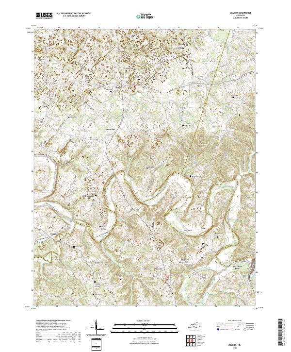 2022 Meador2022 Print · USGSCrossing the borders of Warren, Allen, and Barren counties, this area centers on the winding Barren River during the early 2020s. Researchers can locate numerous family burial sites like Goodnight Family Cem and Motley Cem, alongside rural centers such as Martinsville and Meador.
 - 2022 Map of Holland, 2022 Print
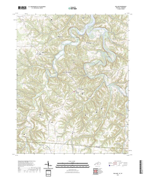 2022 Holland2022 Print · USGSAllen County, Kentucky, and the Tennessee borderlands are captured here in the early twenty-first century as a landscape of river bends and rural churchyards. Researchers can locate numerous family sites like the Benedict Graveyard and Holland Missionary Baptist Cem.
 - 2022 Map of Tracy, 2022 Print
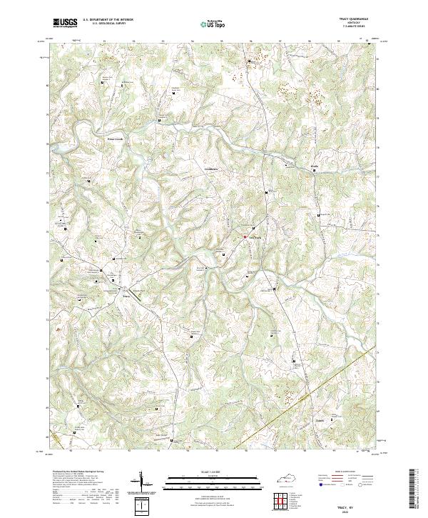 2022 Tracy2022 Print · USGSThe rural uplands of southern Barren County are revealed here in the 2020s, showing a landscape defined by family history and small hamlets. Genealogists can trace hundreds of burial sites, from Kinslow Cem Number 7 to the Johnson - Flowers Cem.
 - 2022 Map of Allen Springs, 2022 Print
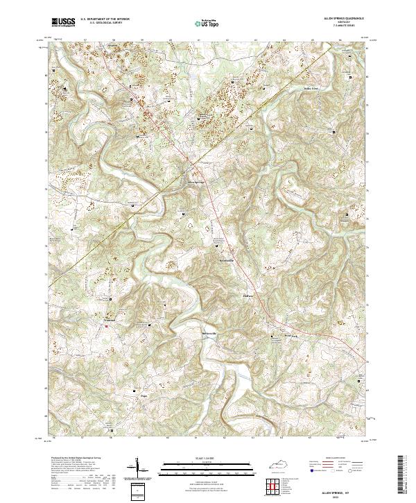 2022 Allen Springs2022 Print · USGSSouthern Kentucky at the Warren and Allen County line reveals a deep agricultural and family history through its scattered cemeteries and rural parishes. Trace early settlement patterns through Willoughby Graveyard, the river crossing at Raley Ford, and small hamlets like Halfway and Butlersville.
 - 2022 Map of Fountain Run, 2022 Print
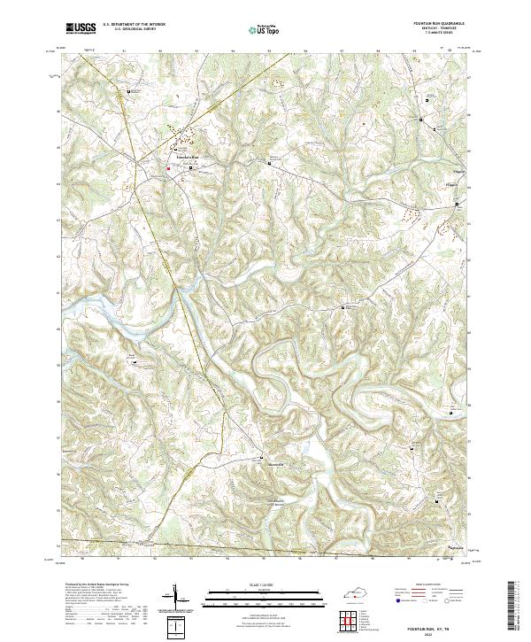 2022 Fountain Run2022 Print · USGSThis rural Kentucky-Tennessee border region at the start of the 2020s shows a landscape of river-bottom farms and small upland communities. Researchers can trace family history through numerous local sites like the Old School Cem in Fountain Run or the Ward - Lewis Cem near Flippin.
 - 2022 Map of Drake, 2022 Print
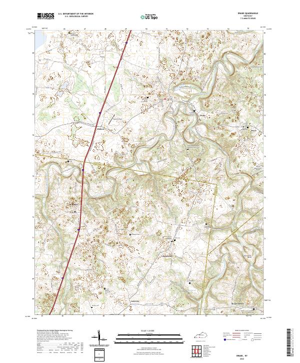 2022 Drake2022 Print · USGSSouthern Warren County is seen here during its modern agricultural era, as family farms and rural churches maintain the area's local character. Trace ancestral roots at the Goodrum-Madison Graveyard or the Old Union Baptist Church Cem, and explore the winding paths of West Fork Drakes Creek.
 - 2022 Map of Scottsville, 2022 Print
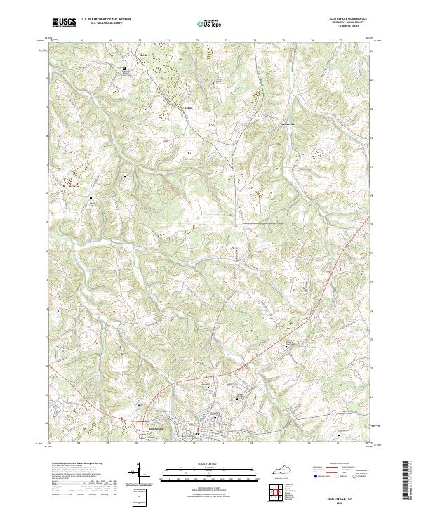 2022 Scottsville2022 Print · USGSAllen County enters the 2020s with a landscape defined by the city of Scottsville and the winding waters of Bays Fork. Genealogists and historians can trace family roots through numerous burial sites like Old Scottsville Cem and the Heeter - Griggs Graveyard.
 - 2022 Map of Polkville, 2022 Print
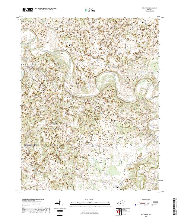 2022 Polkville2022 Print · USGSThe area east of Bowling Green during the early 2020s shows a landscape of rural crossroads and family homesteads. Researchers can locate numerous family-named burial sites like Mount Tabor Cem and Willoughby Cem or trace the winding course of the Barren River.
 - 2022 Map of Adolphus, 2022 Print
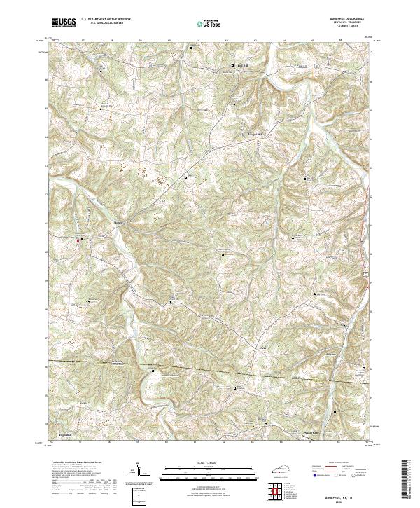 2022 Adolphus2022 Print · USGSThe Kentucky-Tennessee borderlands appear here in the early twenty-first century, centered on the community of Adolphus. Genealogists and historians can trace family locations through numerous sites like Lamb Family Cem, Walkers Chapel Cem, and Sugar Grove Airport.
 - 2022 Map of Lucas, 2022 Print
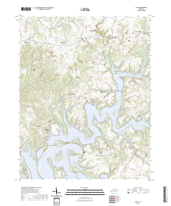 2022 Lucas2022 Print · USGSThe Barren River valley and its surrounding ridge lands come into focus in this recent survey, showcasing the indented shoreline of Barren River Lake. Genealogists can trace family burial sites like Jewell Harston Cem and Powell Britt Cem near Rocky Hill.
 - 2022 Map of Petroleum, 2022 Print
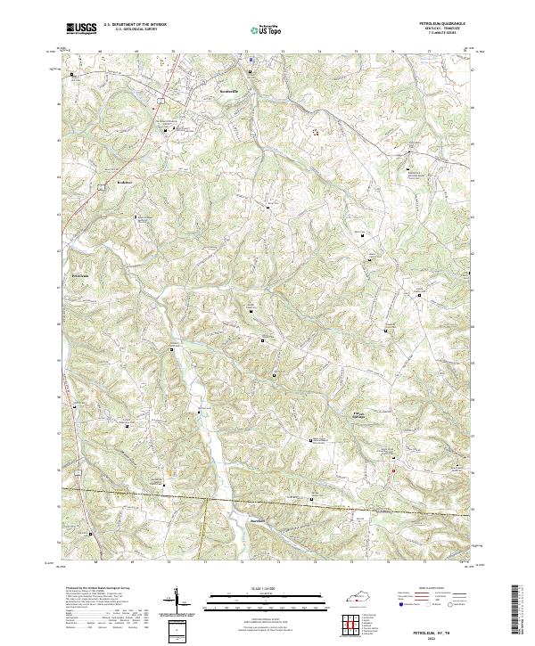 2022 Petroleum2022 Print · USGSAllen County at the Kentucky-Tennessee border reveals a landscape of deep hollows and high ridges centered on the rail lines and rural hamlets. Researchers can trace numerous country burial sites and churches, from Barefoot and Petroleum to the Mount Pleasant Methodist Church Cem.
 - 2022 Map of Hickory Flat, 2022 Print
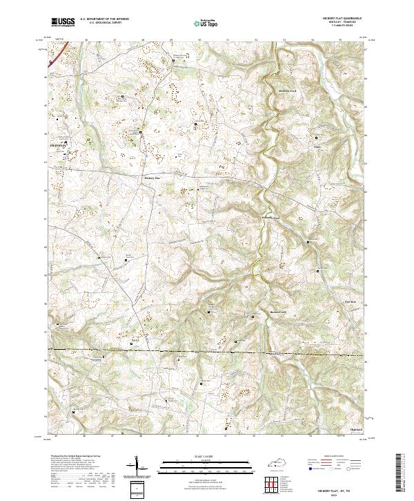 2022 Hickory Flat2022 Print · USGSThe Kentucky and Tennessee borderlands come into focus in this recent study of rural settlements. Genealogists can trace family roots through numerous sites like Old Loving Chapel Cem and historic crossings such as Bornes Ford.
 - 2022 Map of Austin, 2022 Print
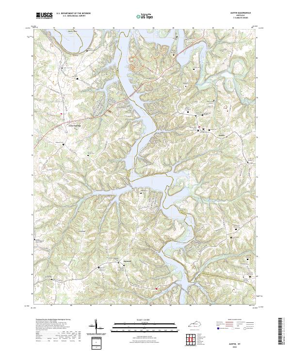 2022 Austin2022 Print · USGSThe rural uplands of Barren and Allen Counties are shown here after the development of the Barren River Lake reservoir. Researchers can trace numerous family burial sites and country churches, from the Foster Graveyard to the Caney Fork Baptist Church Cem.
End of results
Showing maps 1-13 of 13
Top cities of Allen County
Frequently asked questions
- What are the different types of historical maps available for Allen County?
- What is the oldest map of Allen County?
- Where can I purchase historical maps of Allen County for my home or office?
- Where can I download high-res historical maps of Allen County?
- Are there historical topographic maps available for Allen County?
- Is there historical aerial imagery available for Allen County?
- Where are historical maps of Allen County sourced from?