Old Maps of Cave City, Kentucky for Academic Research
Study the evolution of Cave City with 20 high-resolution historic maps. Whether you're teaching, researching, or modeling changes in land use, these maps provide essential visual documentation of urban, environmental, and geographic change.
- Analyze long-term change: Track patterns in development, transportation, and natural features.
- Ideal for environmental or urban studies: Support academic projects with primary historical map data.
- Use in the classroom or lab: Educators and researchers rely on these maps to bring historical context to life.
These maps are a powerful tool for teaching, research, and visualizing how Cave City has changed over the decades.
Cave City, KY maps
(20)- 1935 Map of Horse Cave
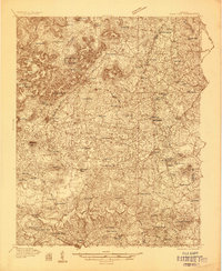 1935 Horse Cave1935 Print · USGSHart and Barren counties in the mid-1930s reveal a landscape shaped by cave tourism and rural education. Genealogists can trace family footprints through dozens of local landmarks like Ragman Seminary, Bunnells Crossing, and New Hope Ch.
 - 1938 Map of Horse Cave
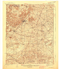 1938 Horse Cave1938 Print · USGSKentucky's cave country thrives in the late 1930s as a hub of early auto tourism and rail commerce. Genealogists can trace family roots through dozen of rural landmarks like Walton Academy, Mammoth Onyx Cave, and the Big Meadow Ch.2 unique versions available
 - 1954 Map of Horse Cave, 1955 Print
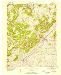 1954 Horse Cave1955 Print · USGSMid-century Kentucky karst country is on full display here, capturing the area between Horse Cave and Cave City at a peak of local rail and road travel. Genealogists and historians can locate numerous rural landmarks like Our Lady of the Caves Ch, Northtown, and the winding Green River loops.2 unique versions available
 - 1954 Map of Glasgow North, 1956 Print
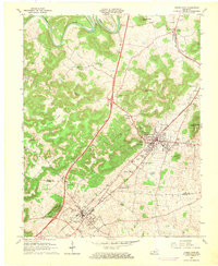
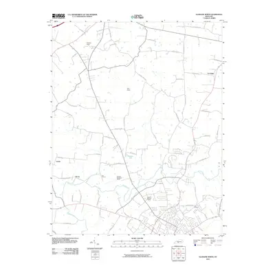
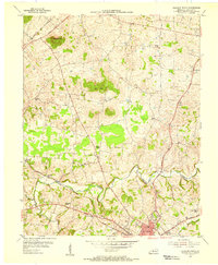 1954 Glasgow North1956 Print · USGSBarren County, Kentucky, thrives in the mid-fifties as a hub of rural commerce and community life anchored by the city of Glasgow. Genealogists and historians can trace family locations through numerous landmarks like Browders Chapel, Sinking Spring Sch, and the Oil Wells of Oil City.
 - 1957 Map of Winchester, 1968 Print
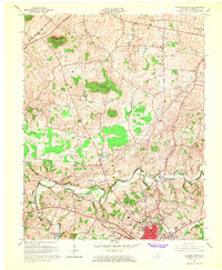
 1957 Winchester1968 Print · USGSCentral Kentucky's landscape in the mid-twentieth century features the sprawling Fort Knox and the early parkway system. Genealogists and historians can trace rail lines like the Southern Railway and find landmarks from Bernheim Forest to Pilot Knob.3 unique versions available
 - 1960 Map of Winchester
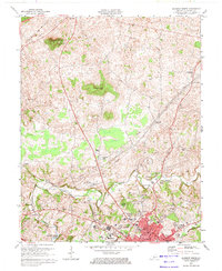
 1960 Winchester1960 Print · USGSCentral Kentucky's diverse landscape is shown here at mid-century, from the bluegrass plains to the rugged Pottsville Escarpment. Genealogists and historians can trace the rail-and-river network connecting towns like Bardstown and Stanford alongside landmarks like Lake Cumberland.
 - 1965 Map of Glasgow North, 1966 Print
 1965 Glasgow North1966 Print · USGSBarren County's karst landscape and rural crossroads are captured here during a period of mid-century growth north of Glasgow. Researchers can trace family history through local landmarks like Goodnight, Oil City, and rural churches such as Harlow Chapel and Salem Ch.
 - 1966 Map of Horse Cave, 1968 Print
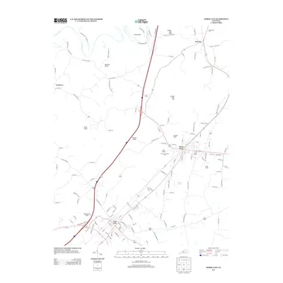
 1966 Horse Cave1968 Print · USGSThe karst country of Hart and Barren Counties is captured here in the mid-sixties, centered on the historic rail corridor. Genealogists and historians can locate family landmarks like Sargent Valley Ch, Rowletts, and the grounds of Mammoth Onyx Cave.
 - 1973 Map of Glasgow North, 1974 Print
 1973 Glasgow North1974 Print · USGSBarren County in the early seventies shows a landscape shaped by petroleum extraction and karst geography. Researchers can find many family-named country churches like Mt Tabor Ch, local landmarks like Crystal Onyx Cave, and the small settlement of Goodnight.2 unique versions available
 - 1986 Map of Campbellsville
 1986 Campbellsville1986 Print · USGSCentral Kentucky in the mid-eighties was a landscape of deep river valleys and high ridges. Genealogists can trace family holdings near rural settlements like Phillipsburg or locate landmarks such as Mt Gilead Ch and the Magnolia Gas Storage Field.2 unique versions available
 - 2010 Map of Horse Cave, 2010 Print
 2010 Horse Cave2010 Print · USGSCovers Cave City, including Horse Cave, Rowletts, and other nearby areas
 - 2010 Map of Glasgow North, 2010 Print
 2010 Glasgow North2010 Print · USGSCovers Cave City, including Glasgow, Carden, and other nearby areas
 - 2013 Map of Horse Cave, 2013 Print
 2013 Horse Cave2013 Print · USGSCovers Cave City, including Horse Cave, Rowletts, and other nearby areas
 - 2013 Map of Glasgow North, 2013 Print
 2013 Glasgow North2013 Print · USGSCovers Cave City, including Glasgow, Carden, and other nearby areas
 - 2016 Map of Horse Cave, 2016 Print
 2016 Horse Cave2016 Print · USGSCovers Cave City, including Horse Cave, Rowletts, and other nearby areas
 - 2016 Map of Glasgow North, 2016 Print
 2016 Glasgow North2016 Print · USGSCovers Cave City, including Glasgow, Carden, and other nearby areas
 - 2019 Map of Horse Cave, 2019 Print
 2019 Horse Cave2019 Print · USGSCovers Cave City, including Horse Cave, Rowletts, and other nearby areas
 - 2019 Map of Glasgow North, 2019 Print
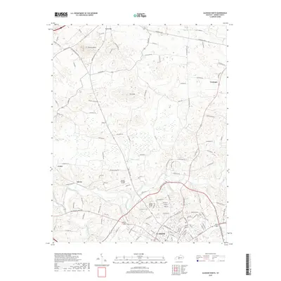 2019 Glasgow North2019 Print · USGSCovers Cave City, including Glasgow, Carden, and other nearby areas
 - 2022 Map of Horse Cave, 2022 Print
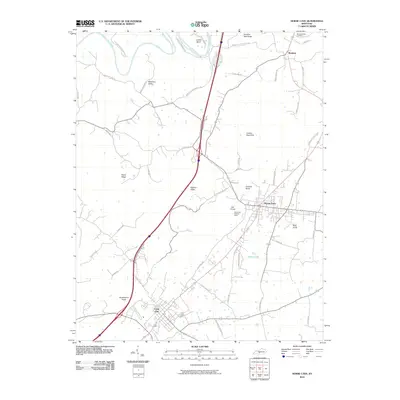
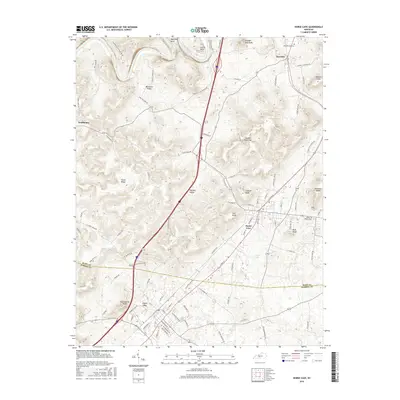
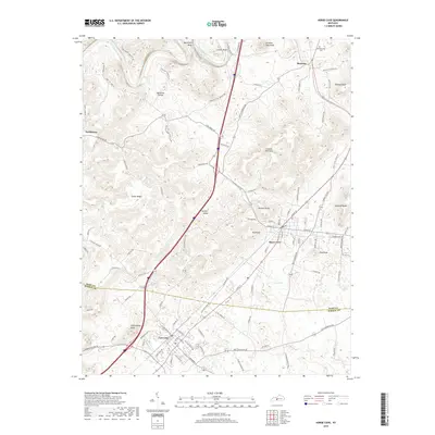
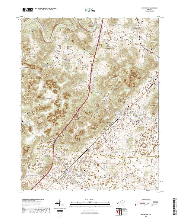 2022 Horse Cave2022 Print · USGSThe karst landscape of south-central Kentucky is shown here in the 2020s, centering on the corridor between Horse Cave and Cave City. Researchers can trace dozens of family burial sites such as Joshua Crump Cem and Denison Cem along Fisher Ridge.
 - 2022 Map of Glasgow North, 2022 Print
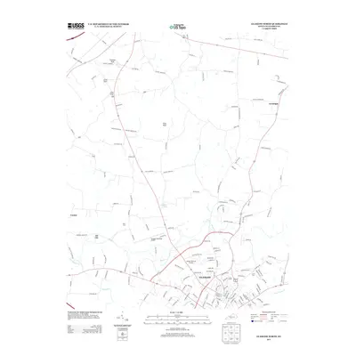
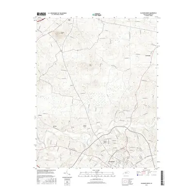
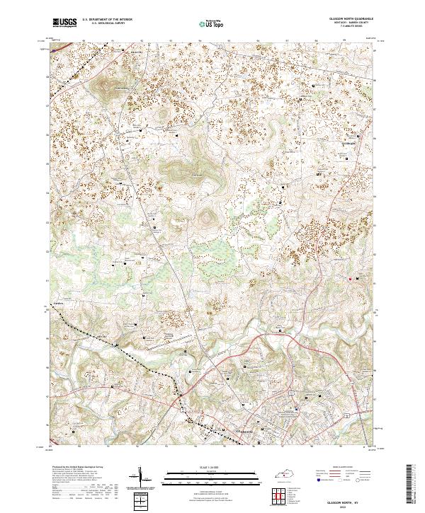 2022 Glasgow North2022 Print · USGSBarren County's northern corridor around Glasgow is shown here in detail during the early twenty-first century. Genealogists and local historians can trace family land markers and rural heritage sites such as Old Glasgow Cem, Prewitts Knob, and the settlement of Oil City.
End of results
Showing maps 1-20 of 20
Top cities near Cave City
- Glasgow historical maps
- Horse Cave historical maps
- Munfordville historical maps
- Park City historical maps
Frequently asked questions
- What are the different types of historical maps available for Cave City?
- What is the oldest map of Cave City?
- Where can I purchase historical maps of Cave City for my home or office?
- Where can I download high-res historical maps of Cave City?
- Are there historical topographic maps available for Cave City?
- Is there historical aerial imagery available for Cave City?
- Where are historical maps of Cave City sourced from?