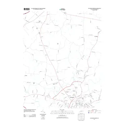
2013 Map of Glasgow North
USGS Topo · Published 2013About this map
Glasgow anchors the southern portion of this Barren County landscape, showing the city's modern street grid and its expansion toward Glasgow Memorial Gardens. The terrain to the north is defined by the prominent elevations of Prewitts Knob and Flint Knob, which overlook a network of rural routes and family-named roads like Lee Fendell Rd and Harlow Cemetery Rd. Small communities and historic stopovers such as Goodnight, Oil City, and Carden are positioned along the primary transit corridors, reflecting the area's long-standing settlement patterns outside the main municipal hub.
Find a feature on this map
141 named features on this map. Tap any name to fly to it.
Don’t see what you’re looking for? This feature index may not catch every label — zoom into the map to look around manually.
Map Details
Editions of this 2013 Glasgow North Map
This is the sole edition of this map. No revisions or reprints were ever made.
Other maps of this area

1922 · Mammoth Cave
USGS Topo · 1:62,500

1923 · Mammoth Cave
USGS Topo · 1:62,500

1926 · Scottsville
USGS Topo · 1:62,500

1935 · Horse Cave
USGS Topo · 1:48,000

1938 · Horse Cave
USGS Topo · 1:62,500

1953 · Temple Hill
USGS Topo · 1:24,000

1953 · Glasgow South
USGS Topo · 1:24,000

1954 · Evansville
USGS Topo · 1:250,000

1954 · Park
USGS Topo · 1:24,000

1954 · Horse Cave
USGS Topo · 1:24,000