2010s Maps of Boone County, Kentucky
Explore 52 historic maps of Boone County from the 2010s. These maps offer a rare glimpse into what life looked like during the 2010s — showing old roads, neighborhoods, homes, and landmarks that have changed or disappeared over time.
Whether you're researching your family's past, planning a metal detecting trip, or studying how Boone County's landscape evolved across the 2010s, these high-resolution maps are a powerful tool for exploring the history of this region.
- Focus on a specific era: All maps on this page are from the 2010s, giving you a focused view of this time period.
- See what’s changed: Compare century-old streets, trails, and buildings to today's modern landscape using overlays and satellite layers.
- Research with precision: Use these maps for genealogy, historical research, land use analysis, or educational projects.
- View, download, or print: Maps are fully viewable online in high resolution, and can be downloaded or printed for your own records.
Start exploring Boone County's history through authentic maps from the 2010s. This is your window into the past.
Boone County, KY maps
(52)- 2010 Map of Union, 2010 Print
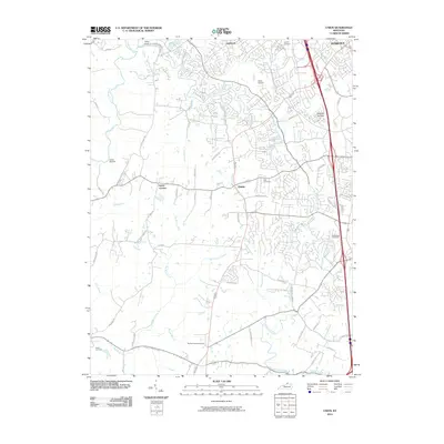 2010 Union2010 Print · USGSBoone County undergoes a period of rapid suburban transition in this 2010 survey of the northern Kentucky hills. Genealogists and historians can trace long-standing family landmarks like Baker Cemetery and Hueys Corners alongside newer developments and the Kentucky Raceway.
 - 2010 Map of Verona, 2010 Print
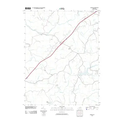 2010 Verona2010 Print · USGSNorthern Kentucky's rural character is preserved here in the early twenty-first century, showing the persistence of crossroads settlements and family-named landmarks. Genealogists and local historians can locate Zion Station and Munk, or find ancestral burial sites at Carr Cemetery and Saints Patricks Cemetery.
 - 2010 Map of Independence, 2010 Print
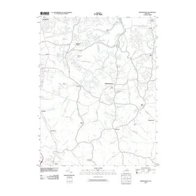 2010 Independence2010 Print · USGSKenton County is captured here at a moment of significant suburban expansion south of the Ohio River during the early twenty-first century. Genealogists and local historians can trace family locations through numerous sites including Saint Cecilias Cemetery, Ricedale, and White Tower.
 - 2010 Map of Walton, 2010 Print
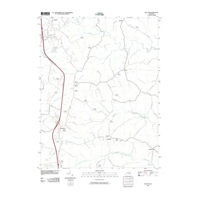 2010 Walton2010 Print · USGSCrittenden and Walton anchor this northern Kentucky landscape at the turn of the twenty-first century, showcasing a transition from rural farmland to expanding settlements. Researchers can trace numerous ancestral burial grounds like Crittenden Christian Cemetery and small communities such as Piner and Gardnersville.
 - 2010 Map of Aurora, 2010 Print
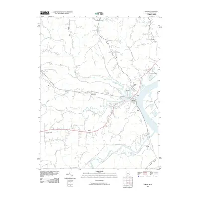 2010 Aurora2010 Print · USGSThe Indiana river towns of Aurora and Lawrenceburg are shown in detail during the early twenty-first century along the winding Ohio River. Researchers can locate local landmarks like Mount Tabor Church Cemetery, the Aurora Casket Company Airport, and the community at Kirschs Corner.
 - 2010 Map of Patriot, 2010 Print
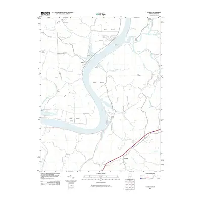 2010 Patriot2010 Print · USGSThe Indiana-Kentucky borderlands along the Ohio River appear here in the early twenty-first century. Researchers can trace rural lineages through numerous family sites like Eastview Cemetery and Jack Cemetery or explore the river bottoms at Mexico Bottom and Steele Bottom.
 - 2010 Map of Rising Sun, 2010 Print
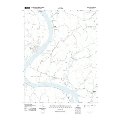 2010 Rising Sun2010 Print · USGSThe Ohio River valley between Indiana and Kentucky comes to life in the early 2000s, showcasing the tight-knit river towns and rural cemeteries of the region. Genealogists can locate family landmarks like Stephens Cemetery, Wilson Cemetery, and the historic Rabbit Hash riverfront.
 - 2010 Map of Burlington, 2010 Print
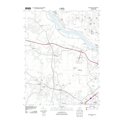 2010 Burlington2010 Print · USGSNorthern Kentucky and the Ohio River valley are captured in this 2010 survey during a period of significant suburban and aviation growth. Researchers can trace family sites at Old Burlington Cemetery or follow the historic river crossing at Anderson Ferry.
 - 2010 Map of Covington, 2010 Print
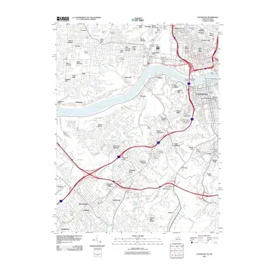 2010 Covington2010 Print · USGSThe Ohio and Licking rivers meet at the heart of this metropolitan corridor during the early twenty-first century. Researchers can trace neighborhood development from Over-The-Rhine to Lakeside Park, locating historic burial sites like Potters Field and the Highland Cemetery.
 - 2010 Map of Addyston, 2010 Print
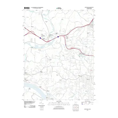 2010 Addyston2010 Print · USGSGreater Cincinnati's western edge and the riverfront communities of the Ohio and Great Miami valleys are captured here in the early twenty-first century. Researchers can trace family sites and local history at Willsey Cemetery, Hollmeyer's Orchards, and the Miamitown Post Office.
 - 2010 Map of Hooven, 2010 Print
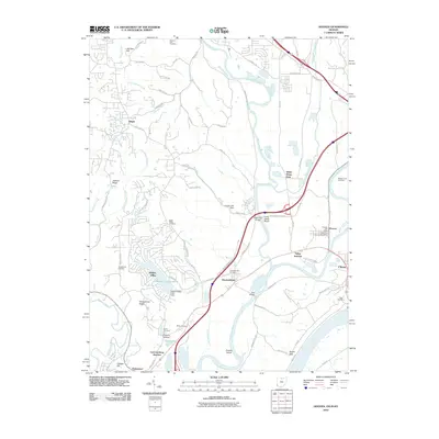 2010 Hooven2010 Print · USGSThe river confluence at the Ohio, Indiana, and Kentucky borders is captured here in the early twenty-first century. Genealogists can trace family names through the Minges Farm and Guard Cemetery, or locate the historic Hooven Post Office.
 - 2010 Map of Lawrenceburg, 2010 Print
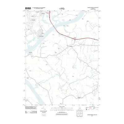 2010 Lawrenceburg2010 Print · USGSThe tristate river junction near Lawrenceburg comes into focus in the early twenty-first century, showing the meeting of industry and rural homesteads. Genealogists can trace family heritage through numerous sites like Greendale Cemetery, Mosby Cemetery, and Johnson Cemetery.
 - 2011 Map of Aberdeen, 2011 Print
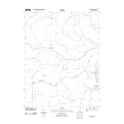 2011 Aberdeen2011 Print · USGSThe Indiana riverfront and its interior ridge settlements are captured here in the early twenty-first century. Genealogists and local historians can trace family roots through sites like Grant Brothers Cemetery, Norths Landing, and the crossroads at Aberdeen.
 - 2013 Map of Union, 2013 Print
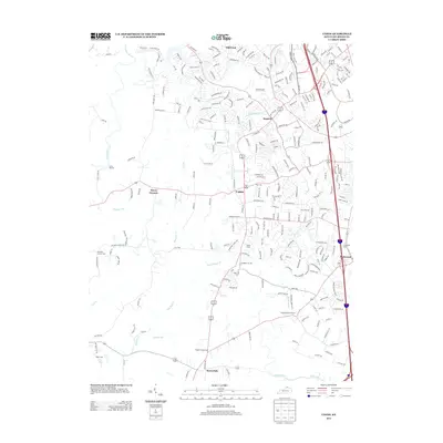 2013 Union2013 Print · USGSBoone County settlements and suburban development are captured here during the early 2010s. Genealogists can locate several family and community burial sites, including Hughes Chapel Cem, Rice Cem, and the uniquely named Sugartit.
 - 2013 Map of Walton, 2013 Print
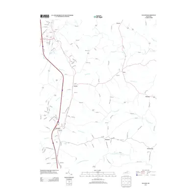 2013 Walton2013 Print · USGSNorthern Kentucky's rolling landscape and crossroads communities are meticulously documented in this survey from the early twenty-first century. Genealogists can trace family heritage through numerous burial sites like Peoples Cem and Northcutt Cem or locate rural homesteads near Bracht and Flingsville.
 - 2013 Map of Verona, 2013 Print
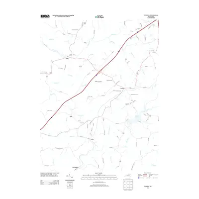 2013 Verona2013 Print · USGSNorthern Kentucky's rural landscape is captured here in the early twenty-first century, showing a mix of established small towns and hilltop farms. Genealogists can trace family history through numerous burial sites like Beaverlick Church Cem and Carr Cem, or locate rural landmarks near Zion Station.
 - 2013 Map of Independence, 2013 Print
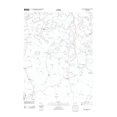 2013 Independence2013 Print · USGSNorthern Kentucky's suburban and rural character is documented here during the early twenty-first century. Genealogists can trace family names through numerous burial sites including Independence Cem, Hoffman Cem, and the Rector Cem.
 - 2013 Map of Covington, 2013 Print
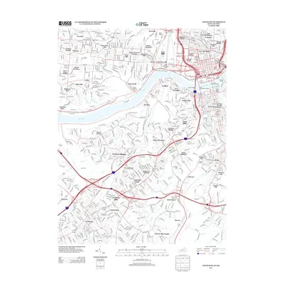 2013 Covington2013 Print · USGSThe riverfront and urban neighborhoods of the tri-state area are shown in detail during the early 2010s. Researchers can locate family sites at Saint Josephs Cem or trace crossings like the John A Roebling Bridge and the historic Anderson Ferry.
 - 2013 Map of Burlington, 2013 Print
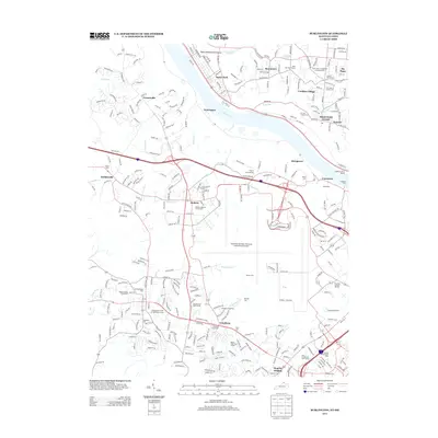 2013 Burlington2013 Print · USGSThe northern Kentucky and southern Ohio riverfront areas appear here in the early twenty-first century, centered on the region's massive aviation hub. Researchers can locate many family burial sites including Chambers Cem, Aylor Cem, and the Peeno Cem.
 - 2013 Map of Rising Sun, 2013 Print
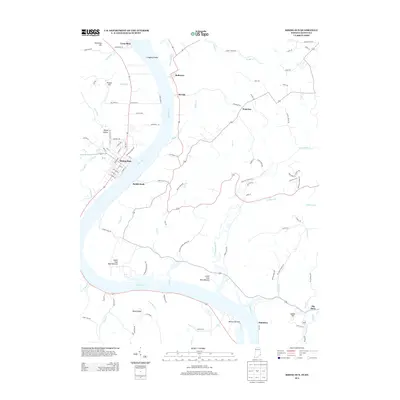 2013 Rising Sun2013 Print · USGSThe Ohio River valley at the Indiana-Kentucky border comes into focus in the early 2010s, showcasing the distinct relationship between riverside hubs and rural bottoms. Trace local genealogy and land use across Rising Sun, Rabbit Hash, and the historic Big Bone Lick area.
 - 2013 Map of Patriot, 2013 Print
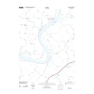 2013 Patriot2013 Print · USGSThe Indiana-Kentucky borderlands along the Ohio River remain defined by their historic riverbottoms and ridge settlements in this modern survey. Genealogists can trace family lands near Searcy Crossroads, Patriot, and the fertile stretches of Egypt Bottom.
 - 2013 Map of Lawrenceburg, 2013 Print
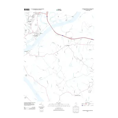 2013 Lawrenceburg2013 Print · USGSThe Ohio River valley in the early twenty-first century reveals a landscape of industrial hubs and rural Kentucky homesteads. Trace family connections through the streets of Hardinsburg and Oldtown, or find early aviation sites like Sunrise Acres Airport.
 - 2013 Map of Aberdeen, 2013 Print
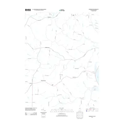 2013 Aberdeen2013 Print · USGSThe Indiana-Kentucky borderlands along the Ohio River remained a landscape of high ridges and winding creek valleys into the modern era. Genealogists and local historians can trace family locations and rural infrastructure across Dutch Ridge, Bascom Corner, and Salem Ridge.
 - 2013 Map of Aurora, 2013 Print
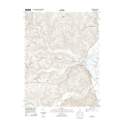 2013 Aurora2013 Print · USGSThe riverfront communities of Lawrenceburg and Aurora sit along the Ohio River in this 2013 topographic study. Researchers can trace historical routes and local landmarks including the Aurora Ferry, Riverview Cem, and the settlement at Wilmington.
 - 2013 Map of Addyston, 2013 Print
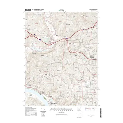 2013 Addyston2013 Print · USGSWestern Cincinnati and the riverfront towns of the Ohio and Great Miami rivers are shown here in the early twenty-first century. Genealogists can locate several historic burial sites like Bethel Cem or Wiltsey Cem, and trace the development of suburban areas like Dent and Mack.
Showing maps 1-25 of 52
Top cities of Boone County
Frequently asked questions
- What are the different types of historical maps available for Boone County?
- What is the oldest map of Boone County?
- Where can I purchase historical maps of Boone County for my home or office?
- Where can I download high-res historical maps of Boone County?
- Are there historical topographic maps available for Boone County?
- Is there historical aerial imagery available for Boone County?
- Where are historical maps of Boone County sourced from?