Old Maps of Hueys Corners, Kentucky for Genealogy
Trace your family roots with 12 historic maps of Hueys Corners. These high-res maps reveal old neighborhoods, homesites, landmarks, and streets — helping you uncover where your ancestors lived and how the area evolved over time.
- Explore historic neighborhoods: Identify where your relatives may have lived in the 1800s or 1900s.
- Compare maps over time: Trace the changes in streets, buildings, and landmarks for multi-generational research.
- Perfect for genealogy & ancestry research: Used by family historians and researchers to map out lineage and migration.
These maps are an incredible resource for exploring your personal connection to Hueys Corners's past.
Hueys Corners, KY maps
(12)- 1950 Map of Union, 1952 Print
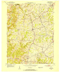 1950 Union1952 Print · USGSBoone County's rolling landscape is captured here in the early fifties, showing a rural world of crossroads hamlets and family-named landmarks. You can trace the community life of the era through Sugartit, the New Haven Sch, and old burial grounds like Rice Cem.
 - 1955 Map of Union, 1956 Print
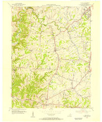 1955 Union1956 Print · USGSMid-century Boone County is captured here just before the suburban surge, centered on the historic crossroads of Union and Florence. Researchers can pinpoint family-named landmarks and rural centers like Sugartit, Beaverlick, and the New Haven Sch.
 - 1956 Map of Louisville, 1971 Print
 1956 Louisville1971 Print · USGSThe Ohio River valley and the Kentucky Bluegrass are captured here during a period of rapid mid-century growth and industrial activity. Genealogists and historians can trace rail-centered towns and military land use at Fort Knox and the Jefferson Proving Ground.2 unique versions available
 - 1961 Map of Union, 1962 Print
 1961 Union1962 Print · USGSBoone County at the start of the sixties showcases a blend of growing suburban hubs and traditional rural crossroads. Researchers can trace family roots through historic sites like Big Bone Ch, the oddly-named Sugartit, and the small community of Beaverlick.2 unique versions available
 - 1964 Map of Louisville
 1964 Louisville1964 Print · USGSThe Ohio River valley and Kentucky Bluegrass are captured in the mid-1960s, showing a region balanced between industrial growth and its agrarian roots. Genealogists and historians can trace the development of county seats like Shelbyville and Paris, or locate established institutions such as Georgetown College and Bernheim Forest.
 - 1982 Map of Union
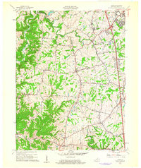
 1982 Union1982 Print · USGSNorthern Kentucky at the start of the eighties shows a mix of growing suburbs and deep-rooted rural hamlets. Family researchers can locate the New Haven Sch, Howlett Cem, and the unique settlement of Sugartit along the Southern rail line.2 unique versions available
 - 1986 Map of Falmouth
 1986 Falmouth1986 Print · USGSNorthern Kentucky and the Ohio River valley are shown here in the mid-1980s, highlighting the region's complex river-and-rail geography. Genealogists and researchers can trace the roads connecting Big Bone Lick, Zion Church, and river towns like Falmouth and Augusta.2 unique versions available
 - 2010 Map of Union, 2010 Print
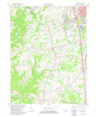
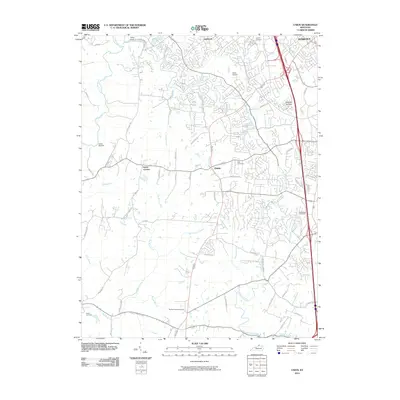 2010 Union2010 Print · USGSCovers Hueys Corners, including Florence, Burlington, and other nearby areas
 - 2013 Map of Union, 2013 Print
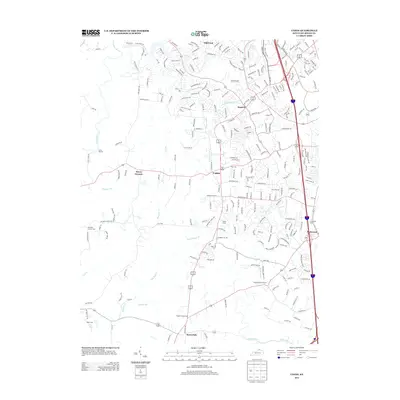 2013 Union2013 Print · USGSCovers Hueys Corners, including Florence, Burlington, and other nearby areas
 - 2016 Map of Union, 2016 Print
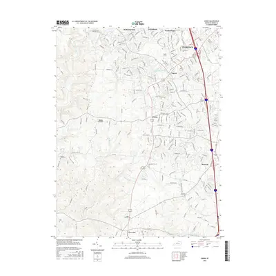 2016 Union2016 Print · USGSCovers Hueys Corners, including Florence, Burlington, and other nearby areas
 - 2019 Map of Union, 2019 Print
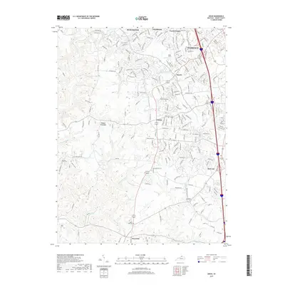 2019 Union2019 Print · USGSCovers Hueys Corners, including Florence, Burlington, and other nearby areas
 - 2022 Map of Union, 2022 Print
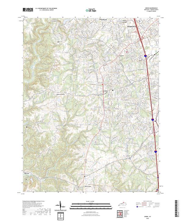 2022 Union2022 Print · USGSNorthern Kentucky at the start of the 2020s shows the suburban growth of Florence and Union meeting older rural crossroads. Genealogists can trace family lines through several local burial sites, including Rice Cem and Hughes Chapel Cem, or find the interestingly named Sugartit near the creek forks.
End of results
Showing maps 1-12 of 12
Top cities near Hueys Corners
- Cincinnati historical maps
- Covington historical maps
- Florence historical maps
- Independence historical maps
- Erlanger historical maps
- Burlington historical maps
See more
Frequently asked questions
- What are the different types of historical maps available for Hueys Corners?
- What is the oldest map of Hueys Corners?
- Where can I purchase historical maps of Hueys Corners for my home or office?
- Where can I download high-res historical maps of Hueys Corners?
- Are there historical topographic maps available for Hueys Corners?
- Is there historical aerial imagery available for Hueys Corners?
- Where are historical maps of Hueys Corners sourced from?