2000s (21st Century) Maps of Danville, Kentucky
Explore 20 historic maps of Danville from the 2000s (21st Century). These maps offer a rare glimpse into what life looked like during the 2000s — showing old roads, neighborhoods, homes, and landmarks that have changed or disappeared over time.
Whether you're researching your family's past, planning a metal detecting trip, or studying how Danville's landscape evolved across the 2000s, these high-resolution maps are a powerful tool for exploring the history of this region.
- Focus on a specific era: All maps on this page are from the 2000s, giving you a focused view of this time period.
- See what’s changed: Compare century-old streets, trails, and buildings to today's modern landscape using overlays and satellite layers.
- Research with precision: Use these maps for genealogy, historical research, land use analysis, or educational projects.
- View, download, or print: Maps are fully viewable online in high resolution, and can be downloaded or printed for your own records.
Start exploring Danville's history through authentic maps from the 2000s. This is your window into the past.
Danville, KY maps
(20)- 2010 Map of Bryantsville, 2010 Print
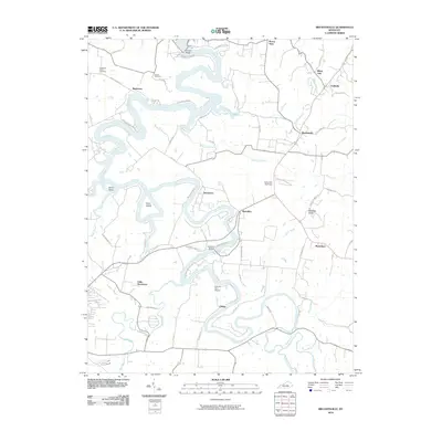 2010 Bryantsville2010 Print · USGSCovers Danville, including Bryantsville, Davistown, and other nearby areas
 - 2010 Map of Danville, 2010 Print
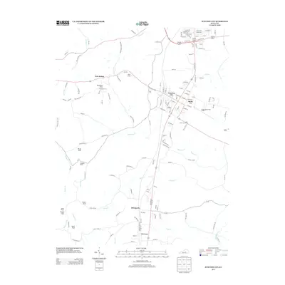
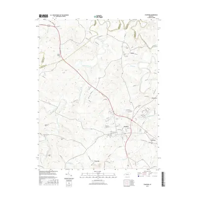
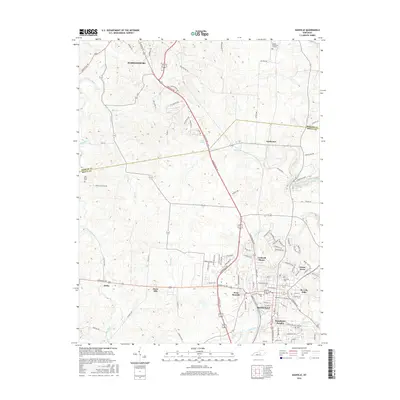
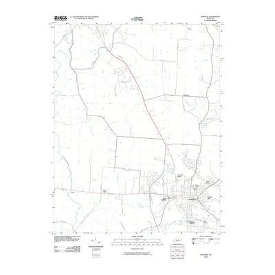 2010 Danville2010 Print · USGSCovers Danville, including Harrodsburg, Burgin, and other nearby areas
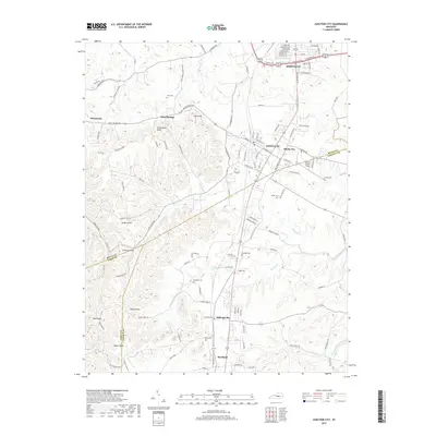
 - 2010 Map of Junction City, 2010 Print
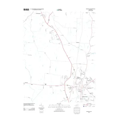
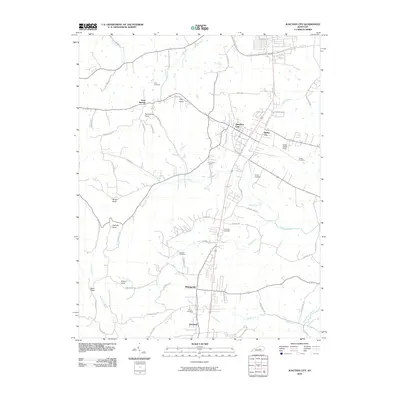 2010 Junction City2010 Print · USGSCovers Danville, including Junction City, Milledgeville, and other nearby areas
 - 2010 Map of Stanford, 2010 Print
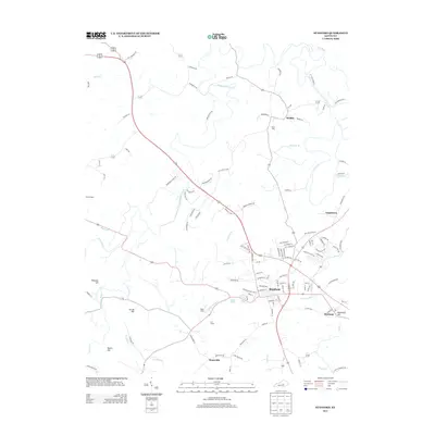
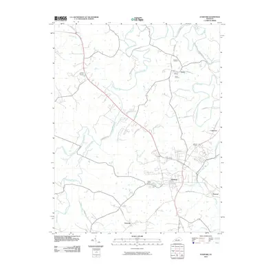 2010 Stanford2010 Print · USGSCovers Danville, including Stanford, Hubble, and other nearby areas
 - 2013 Map of Junction City, 2013 Print
 2013 Junction City2013 Print · USGSCovers Danville, including Junction City, Milledgeville, and other nearby areas
 - 2013 Map of Stanford, 2013 Print
 2013 Stanford2013 Print · USGSCovers Danville, including Stanford, Hubble, and other nearby areas
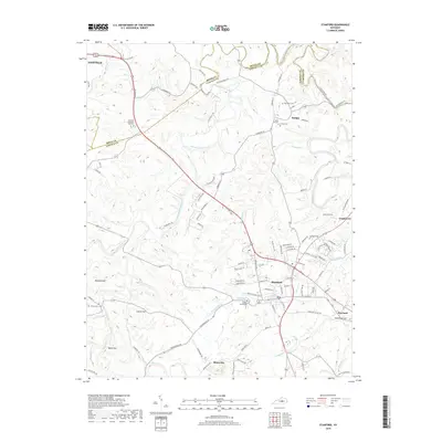
 - 2013 Map of Danville, 2013 Print
 2013 Danville2013 Print · USGSCovers Danville, including Harrodsburg, Burgin, and other nearby areas
 - 2013 Map of Bryantsville, 2013 Print
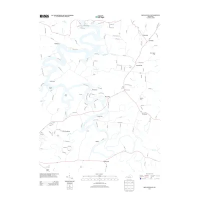 2013 Bryantsville2013 Print · USGSCovers Danville, including Bryantsville, Davistown, and other nearby areas
 - 2016 Map of Stanford, 2016 Print
 2016 Stanford2016 Print · USGSCovers Danville, including Stanford, Hubble, and other nearby areas
 - 2016 Map of Bryantsville, 2016 Print
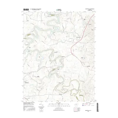 2016 Bryantsville2016 Print · USGSCovers Danville, including Bryantsville, Davistown, and other nearby areas
 - 2016 Map of Danville, 2016 Print
 2016 Danville2016 Print · USGSCovers Danville, including Harrodsburg, Burgin, and other nearby areas
 - 2016 Map of Junction City, 2016 Print
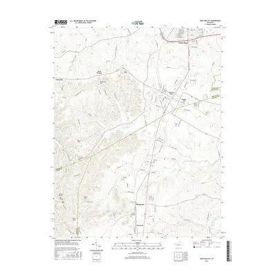 2016 Junction City2016 Print · USGSCovers Danville, including Junction City, Milledgeville, and other nearby areas
 - 2019 Map of Stanford, 2019 Print
 2019 Stanford2019 Print · USGSCovers Danville, including Stanford, Hubble, and other nearby areas
 - 2019 Map of Danville, 2019 Print
 2019 Danville2019 Print · USGSCovers Danville, including Harrodsburg, Burgin, and other nearby areas
 - 2019 Map of Junction City, 2019 Print
 2019 Junction City2019 Print · USGSCovers Danville, including Junction City, Milledgeville, and other nearby areas
 - 2019 Map of Bryantsville, 2019 Print
 2019 Bryantsville2019 Print · USGSCovers Danville, including Bryantsville, Davistown, and other nearby areas
 - 2022 Map of Junction City, 2022 Print
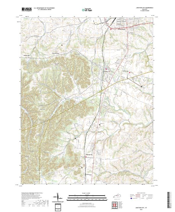 2022 Junction City2022 Print · USGSBoyle and Lincoln counties meet in this 2022 survey, showcasing the enduring rural communities and rolling terrain south of the state's central bluegrass region. Researchers can trace family names at Gray Cem or Sandidge Cem and locate local landmarks like Stuart Powell Field.
 - 2022 Map of Stanford, 2022 Print
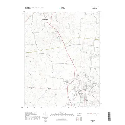
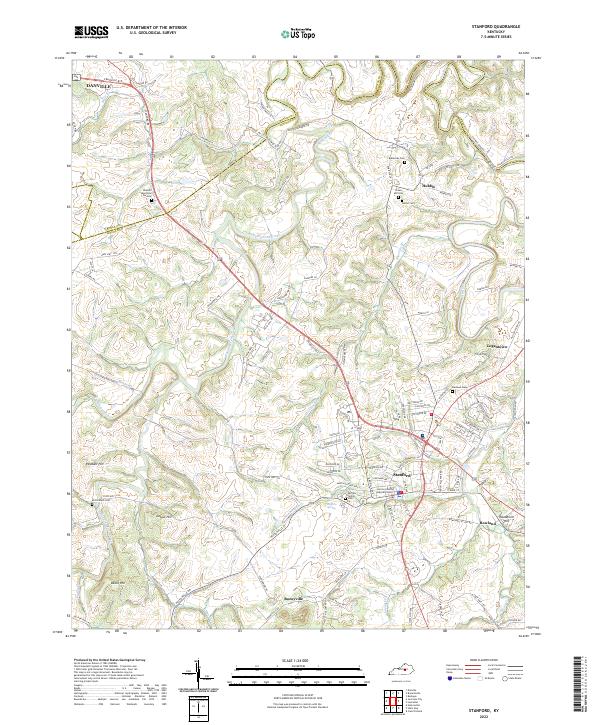 2022 Stanford2022 Print · USGSStanford and the rural corridors of Lincoln County are captured in this contemporary survey of the Kentucky Bluegrass. Researchers can trace family history through numerous landmarks like Blackerby Cem and the small settlements of Boneyville and Rowland.
 - 2022 Map of Bryantsville, 2022 Print
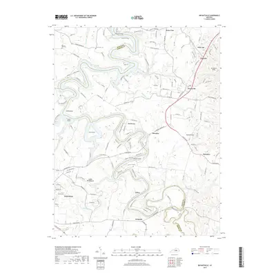
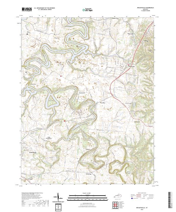 2022 Bryantsville2022 Print · USGSThe rolling Garrard County landscape south of the Kentucky River is documented in this modern survey. Researchers can trace old family sites and rural settlements like Little Needmore, Davistown, and several burial grounds including Sallee Cem.
 - 2022 Map of Danville, 2022 Print
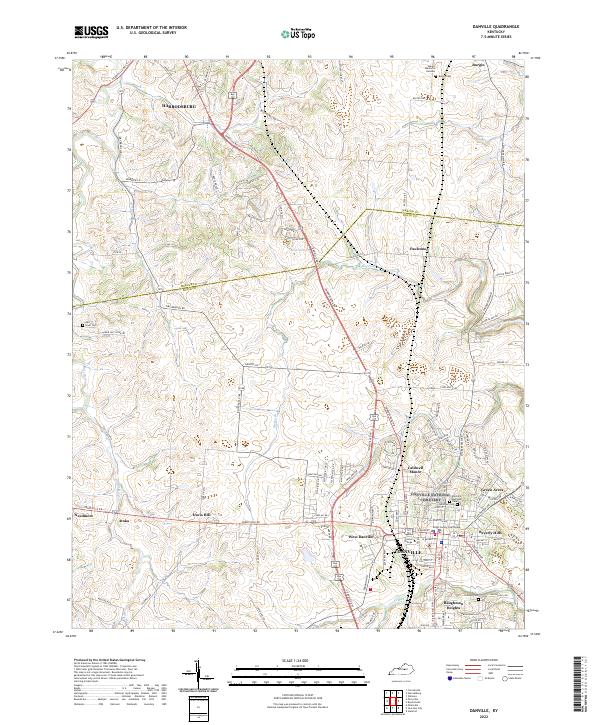 2022 Danville2022 Print · USGSCentral Kentucky's college town and county seat are captured in the early 2020s, showing the modern footprint of Danville and Harrodsburg. Researchers can trace local lineages at Bellevue Cem or locate the historic grounds of Centre College.
End of results
Showing maps 1-20 of 20
Top cities near Danville
- Lexington historical maps
- Nicholasville historical maps
- Harrodsburg historical maps
- Lancaster historical maps
- Wilmore historical maps
- Stanford historical maps
See more
Top neighborhoods of Danville
- Beverly Hills historical maps
- Beverly Hills historical maps
- Caldwell Manor historical maps
- Green Acres historical maps
- West Danville historical maps
- Baughman Heights historical maps
Frequently asked questions
- What are the different types of historical maps available for Danville?
- What is the oldest map of Danville?
- Where can I purchase historical maps of Danville for my home or office?
- Where can I download high-res historical maps of Danville?
- Are there historical topographic maps available for Danville?
- Is there historical aerial imagery available for Danville?
- Where are historical maps of Danville sourced from?