Old Maps of Clifton Mills, Kentucky for Genealogy
Trace your family roots with 12 historic maps of Clifton Mills. These high-res maps reveal old neighborhoods, homesites, landmarks, and streets — helping you uncover where your ancestors lived and how the area evolved over time.
- Explore historic neighborhoods: Identify where your relatives may have lived in the 1800s or 1900s.
- Compare maps over time: Trace the changes in streets, buildings, and landmarks for multi-generational research.
- Perfect for genealogy & ancestry research: Used by family historians and researchers to map out lineage and migration.
These maps are an incredible resource for exploring your personal connection to Clifton Mills's past.
Clifton Mills, KY maps
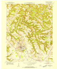
(12)- 1928 Map of Hardinsburg
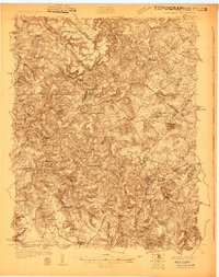 1928 Hardinsburg1928 Print · USGSCovers Clifton Mills, including Hardinsburg, Irvington, and other nearby areas
 - 1931 Map of Hardinsburg
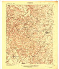 1931 Hardinsburg1931 Print · USGSCovers Clifton Mills, including Hardinsburg, Irvington, and other nearby areas3 unique versions available
 - 1947 Map of Hardinsburg
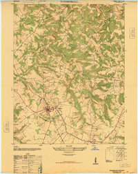 1947 Hardinsburg1947 Print · USGSCovers Clifton Mills, including Hardinsburg, Harned, and other nearby areas
 - 1947 Map of Hardinsburg, 1959 Print
 1947 Hardinsburg1959 Print · USGSCovers Clifton Mills, including Hardinsburg, Irvington, and other nearby areas
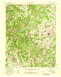
 - 1953 Map of Hardinsburg, 1954 Print
 1953 Hardinsburg1954 Print · USGSCovers Clifton Mills, including Hardinsburg, Harned, and other nearby areas2 unique versions available
 - 1954 Map of Evansville
 1954 Evansville1954 Print · USGSCovers Clifton Mills, including Evansville, Owensboro, and other nearby areas
 - 1957 Map of Evansville, 1969 Print
 1957 Evansville1969 Print · USGSCovers Clifton Mills, including Evansville, Owensboro, and other nearby areas3 unique versions available
 - 1961 Map of Evansville
 1961 Evansville1961 Print · USGSCovers Clifton Mills, including Evansville, Owensboro, and other nearby areas2 unique versions available
 - 1986 Map of Tell City
 1986 Tell City1986 Print · USGSCovers Clifton Mills, including Tell City, Leitchfield, and other nearby areas
 - 1991 Map of Tell City
 1991 Tell City1991 Print · USGSCovers Clifton Mills, including Tell City, Leitchfield, and other nearby areas
 - 1993 Map of Hardinsburg, 1996 Print
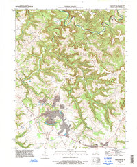 1993 Hardinsburg1996 Print · USGSCovers Clifton Mills, including Hardinsburg, Harned, and other nearby areas
 - 2022 Map of Hardinsburg, 2022 Print
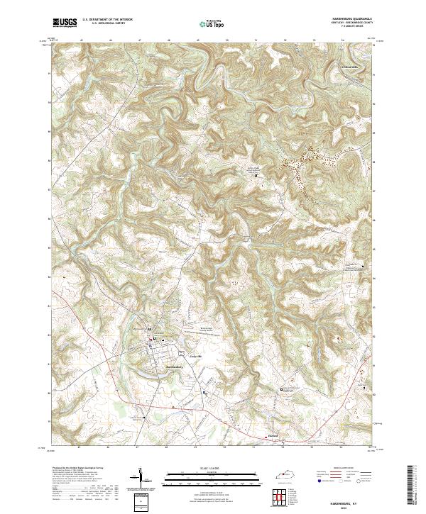 2022 Hardinsburg2022 Print · USGSCovers Clifton Mills, including Hardinsburg, Harned, and other nearby areas
End of results
Showing maps 1-12 of 12
Top cities near Clifton Mills
- Hardinsburg historical maps
- Brandenburg historical maps
- Irvington historical maps
- Cloverport historical maps
- Ekron historical maps
- Mauckport historical maps
Frequently asked questions
- What are the different types of historical maps available for Clifton Mills?
- What is the oldest map of Clifton Mills?
- Where can I purchase historical maps of Clifton Mills for my home or office?
- Where can I download high-res historical maps of Clifton Mills?
- Are there historical topographic maps available for Clifton Mills?
- Is there historical aerial imagery available for Clifton Mills?
- Where are historical maps of Clifton Mills sourced from?