Old Maps of Irvington, Kentucky for Metal Detecting
Plan your next treasure hunt with 22 historic maps of Irvington. Find old homesites, ghost towns, trails, and gathering spots that may be lost to time — perfect for identifying promising metal detecting locations.
- Locate forgotten sites: Uncover places like long-lost settlements, abandoned rail lines, or gathering spots.
- Plan better hunts: Use map overlays combined with LiDAR or satellite views to narrow in on historically rich areas.
- Made for detectorists: Thousands of hobbyists use these maps to discover relics, coins, and hidden history.
Use these historic maps to boost your research and find new opportunities beneath the surface of Irvington.
Irvington, KY maps
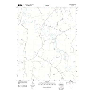
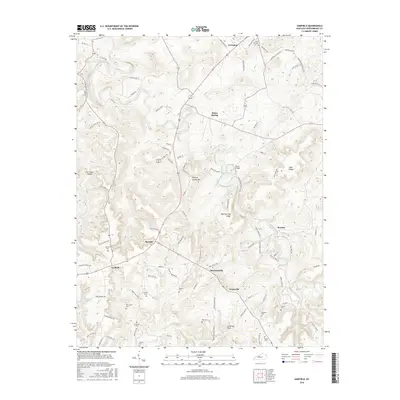
(22)- 1928 Map of Hardinsburg
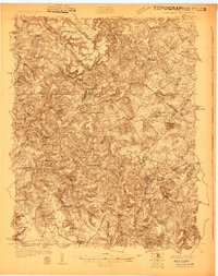 1928 Hardinsburg1928 Print · USGSBreckinridge and Meade counties are captured here in the late twenties as the railroad and the Dixie Highway shaped local commerce. Genealogists can trace family footprints through dozens of rural landmarks like Clifton Mills, Mt Merino Ch, and Argabright Sch.
 - 1931 Map of Hardinsburg
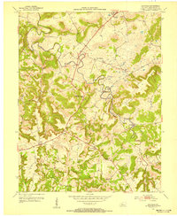
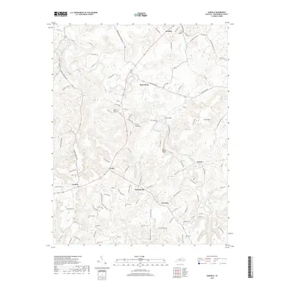
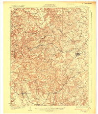 1931 Hardinsburg1931 Print · USGSBreckinridge and Meade Counties are shown in meticulous detail during the late Prohibition era, before modern highways bypassed many rural communities. Researchers can trace dozens of country schools and churches like Giltedge Sch or the Gar Rook Mine along the Louisville and Nashville line.3 unique versions available
 - 1947 Map of Irvington
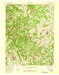
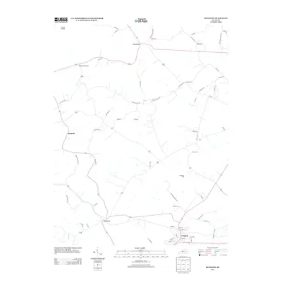
 1947 Irvington1947 Print · USGSIn the post-war Kentucky countryside, this survey captures the rural landscape centered on the rail hub of Irvington. Genealogists and historians can trace local farm life and community ties through landmarks like Payneville School, Fairmont School, and Sirocco.
 - 1947 Map of Garfield
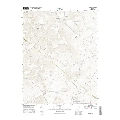
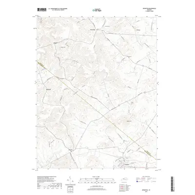
 1947 Garfield1947 Print · USGSBreckinridge County is shown just after the war when small farming communities were connected by winding ridge roads. Genealogists and local historians can locate early landmarks like Bethel School, the Old Rock Mine, and the crossroads of Garfield.
 - 1947 Map of Hardinsburg, 1959 Print
 1947 Hardinsburg1959 Print · USGSBreckinridge and Meade Counties are shown here during the late 1940s, a time when rural life centered on local crossroads and one-room schools. Genealogists can trace family connections to landmarks like Fate Chapel, Clifton Mills, or the Bunker Hill Sch.
 - 1953 Map of Irvington, 1954 Print
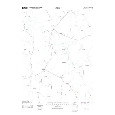
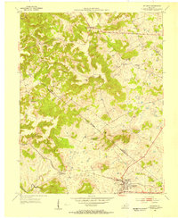 1953 Irvington1954 Print · USGSIrvington and the borderlands of Meade and Breckinridge counties are shown here in the early fifties, centered on the Louisville and Nashville line. Researchers can locate country schools like Bunker Hill Sch and family burial sites including Mt Merino Cem.
 - 1953 Map of Garfield, 1955 Print
 1953 Garfield1955 Print · USGSBreckinridge County's rural heartland is shown in detail during the early fifties, where Sinking Creek's loops define the local geography. Researchers can trace historic family burial sites like Turpin Cem and Board Cem or locate the old Louisville and Nashville rail corridor at Irvington.2 unique versions available
 - 1954 Map of Evansville
 1954 Evansville1954 Print · USGSThe Ohio River borderlands between Indiana and Kentucky appear here during a period of robust industrial and military growth. Genealogists and researchers can trace the rail corridors of the Illinois Central and find landmarks like US Lock and Dam No 48 or Camp Breckinridge.
 - 1957 Map of Evansville, 1969 Print
 1957 Evansville1969 Print · USGSIndiana and Kentucky meet along the Ohio River in this mid-century survey of a vital industrial and transport corridor. Genealogists and historians can trace the development of river towns like Owensboro and Newburgh or locate old rail lines like the Southern Ry.3 unique versions available
 - 1961 Map of Evansville
 1961 Evansville1961 Print · USGSThe Ohio River valley and its surrounding coalfields are captured here during the late fifties and early sixties. Trace the industrial rail networks of the Illinois Central RR and explore regional landmarks like Mammoth Cave National Park and Angel Mounds State Memorial.2 unique versions available
 - 1986 Map of Tell City
 1986 Tell City1986 Print · USGSThe Ohio River valley and the Kentucky interior come alive in this mid-eighties record of industry and recreation. Genealogists and historians can trace small rural settlements like Victoria Crossroads, local landmarks such as St Rose, and the extensive shoreline of Rough River Lake.
 - 1991 Map of Tell City
 1991 Tell City1991 Print · USGSThe Ohio River valley at the start of the nineties reveals a landscape of riverfront industry and sprawling conservation lands. Genealogists can locate family landmarks like Wesley Chapel and rural communities such as Reynolds Station and Maceo.
 - 2010 Map of Irvington, 2010 Print
 2010 Irvington2010 Print · USGSCovers Irvington, including Webster, Sirocco, and other nearby areas
 - 2010 Map of Garfield, 2010 Print
 2010 Garfield2010 Print · USGSCovers Irvington, including Hensley, Stinnettsville, and other nearby areas
 - 2013 Map of Irvington, 2013 Print
 2013 Irvington2013 Print · USGSCovers Irvington, including Webster, Sirocco, and other nearby areas
 - 2013 Map of Garfield, 2013 Print
 2013 Garfield2013 Print · USGSCovers Irvington, including Hensley, Stinnettsville, and other nearby areas
 - 2016 Map of Irvington, 2016 Print
 2016 Irvington2016 Print · USGSCovers Irvington, including Webster, Sirocco, and other nearby areas
 - 2016 Map of Garfield, 2016 Print
 2016 Garfield2016 Print · USGSCovers Irvington, including Hensley, Stinnettsville, and other nearby areas
 - 2019 Map of Garfield, 2019 Print
 2019 Garfield2019 Print · USGSCovers Irvington, including Hensley, Stinnettsville, and other nearby areas
 - 2019 Map of Irvington, 2019 Print
 2019 Irvington2019 Print · USGSCovers Irvington, including Webster, Sirocco, and other nearby areas
 - 2022 Map of Irvington, 2022 Print
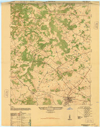
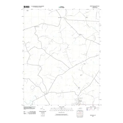
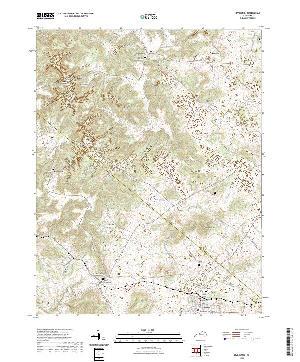 2022 Irvington2022 Print · USGSBreckinridge and Meade counties are shown here in the modern era, centering on the rural crossroads and small settlements that define the region. You can trace family history through numerous documented sites like Richardson Cem, Webster United Methodist Church Cem, and Sirocco.
 - 2022 Map of Garfield, 2022 Print
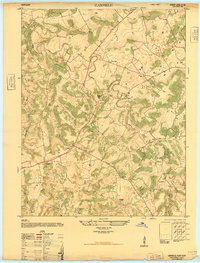
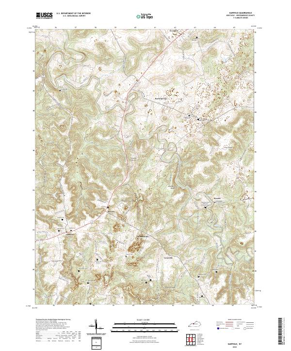 2022 Garfield2022 Print · USGSBreckinridge County remains a landscape of quiet rural hamlets and deep-rooted family history in the early twenty-first century. Researchers can trace ancestral sites through a remarkable density of burial grounds, from Bandy Cem and Horseley Cem to the Old Rosetta Community Cem.
End of results
Showing maps 1-22 of 22
Top cities near Irvington
- Hardinsburg historical maps
- Brandenburg historical maps
- Ekron historical maps
- Mauckport historical maps
- Laconia historical maps
- New Amsterdam historical maps
Frequently asked questions
- What are the different types of historical maps available for Irvington?
- What is the oldest map of Irvington?
- Where can I purchase historical maps of Irvington for my home or office?
- Where can I download high-res historical maps of Irvington?
- Are there historical topographic maps available for Irvington?
- Is there historical aerial imagery available for Irvington?
- Where are historical maps of Irvington sourced from?