2000s (21st Century) Maps of Butler County, Kentucky
Explore 75 historic maps of Butler County from the 2000s (21st Century). These maps offer a rare glimpse into what life looked like during the 2000s — showing old roads, neighborhoods, homes, and landmarks that have changed or disappeared over time.
Whether you're researching your family's past, planning a metal detecting trip, or studying how Butler County's landscape evolved across the 2000s, these high-resolution maps are a powerful tool for exploring the history of this region.
- Focus on a specific era: All maps on this page are from the 2000s, giving you a focused view of this time period.
- See what’s changed: Compare century-old streets, trails, and buildings to today's modern landscape using overlays and satellite layers.
- Research with precision: Use these maps for genealogy, historical research, land use analysis, or educational projects.
- View, download, or print: Maps are fully viewable online in high resolution, and can be downloaded or printed for your own records.
Start exploring Butler County's history through authentic maps from the 2000s. This is your window into the past.
Butler County, KY maps
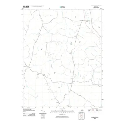
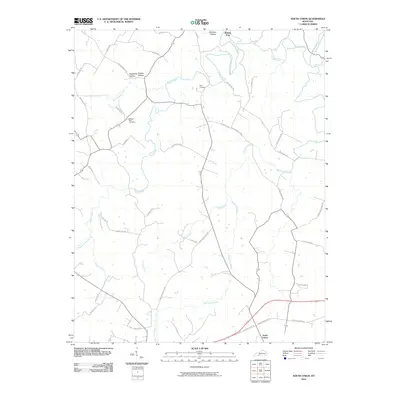
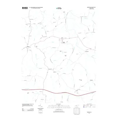
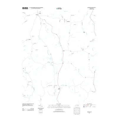
(75)- 2010 Map of Rochester, 2010 Print
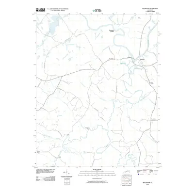 2010 Rochester2010 Print · USGSCovers Butler County, including Rochester, Knightsburg, and other nearby areas
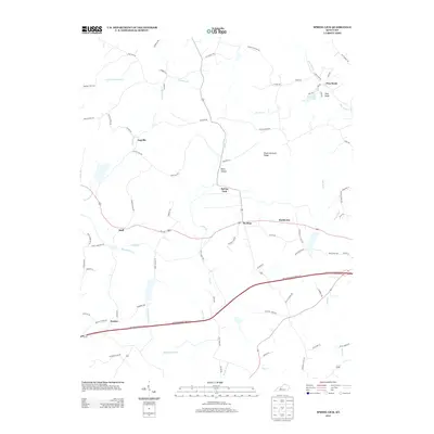
 - 2010 Map of Welchs Creek, 2010 Print
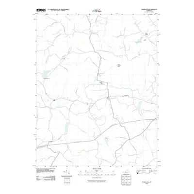
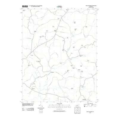 2010 Welchs Creek2010 Print · USGSCovers Butler County, including Brooklyn, Casey, and other nearby areas
 - 2010 Map of Reedyville, 2010 Print
 2010 Reedyville2010 Print · USGSCovers Butler County, including Reedyville, Vineyard, and other nearby areas
 - 2010 Map of Quality, 2010 Print
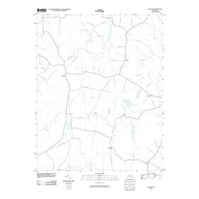 2010 Quality2010 Print · USGSCovers Butler County, including Turnertown, Quality, and other nearby areas
 - 2010 Map of South Hill, 2010 Print
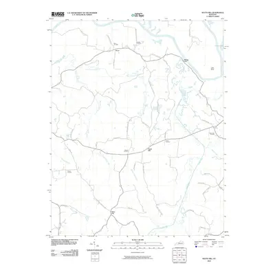 2010 South Hill2010 Print · USGSCovers Butler County, including Dunbar, Mining City, and other nearby areas
 - 2010 Map of Sugar Grove, 2010 Print
 2010 Sugar Grove2010 Print · USGSCovers Butler County, including Davis Crossroads, Sugar Grove, and other nearby areas
 - 2010 Map of Flener, 2010 Print
 2010 Flener2010 Print · USGSCovers Butler County, including Baizetown, Select, and other nearby areas
 - 2010 Map of Dunmor, 2010 Print
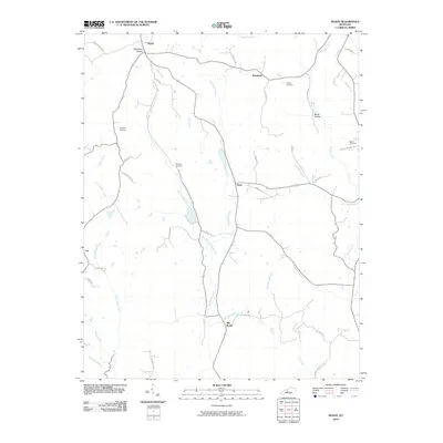
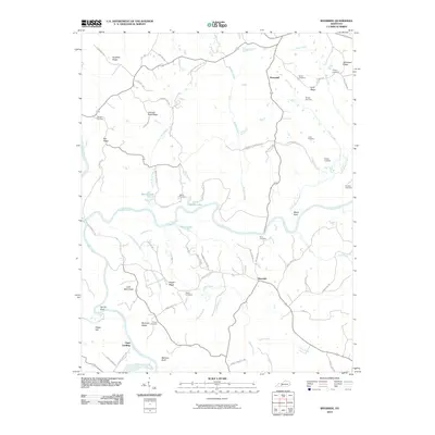
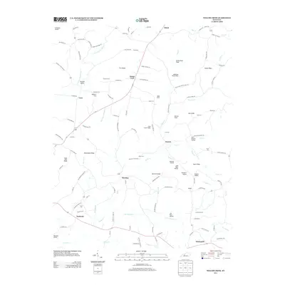
 2010 Dunmor2010 Print · USGSCovers Butler County, including Hollow Bill, Wolf Lick, and other nearby areas
 - 2010 Map of Rosine, 2010 Print
 2010 Rosine2010 Print · USGSCovers Butler County, including Horse Branch, Arnold, and other nearby areas
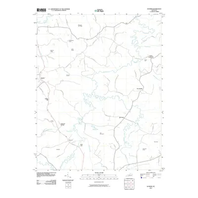
 - 2010 Map of South Union, 2010 Print
 2010 South Union2010 Print · USGSCovers Butler County, including Gasper, South Union, and other nearby areas
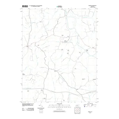
 - 2010 Map of Ready, 2010 Print
 2010 Ready2010 Print · USGSCovers Butler County, including Ready, Windyville, and other nearby areas
 - 2010 Map of Spring Lick, 2010 Print
 2010 Spring Lick2010 Print · USGSCovers Butler County, including Caneyville, Pine Knob, and other nearby areas
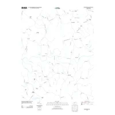
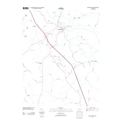
 - 2010 Map of Morgantown, 2010 Print
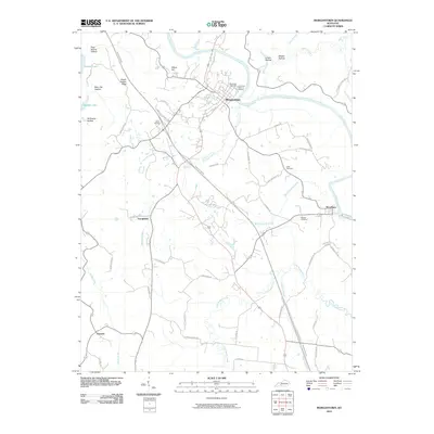 2010 Morgantown2010 Print · USGSCovers Butler County, including Morgantown, Woodbury, and other nearby areas
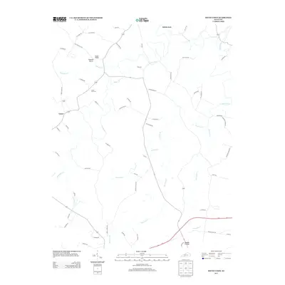
 - 2010 Map of Cromwell, 2010 Print
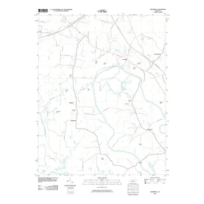 2010 Cromwell2010 Print · USGSCovers Butler County, including Oak Grove, Shultztown, and other nearby areas
 - 2010 Map of Riverside, 2010 Print
 2010 Riverside2010 Print · USGSCovers Butler County, including Riverside, Horsemill, and other nearby areas
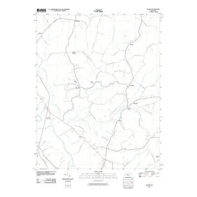
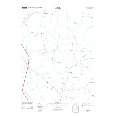
 - 2013 Map of Quality, 2013 Print
 2013 Quality2013 Print · USGSCovers Butler County, including Turnertown, Quality, and other nearby areas
 - 2013 Map of Sugar Grove, 2013 Print
 2013 Sugar Grove2013 Print · USGSCovers Butler County, including Davis Crossroads, Sugar Grove, and other nearby areas
 - 2013 Map of Rosine, 2013 Print
 2013 Rosine2013 Print · USGSCovers Butler County, including Horse Branch, Arnold, and other nearby areas
 - 2013 Map of Spring Lick, 2013 Print
 2013 Spring Lick2013 Print · USGSCovers Butler County, including Caneyville, Pine Knob, and other nearby areas
 - 2013 Map of Flener, 2013 Print
 2013 Flener2013 Print · USGSCovers Butler County, including Baizetown, Select, and other nearby areas
 - 2013 Map of Welchs Creek, 2013 Print
 2013 Welchs Creek2013 Print · USGSCovers Butler County, including Brooklyn, Casey, and other nearby areas
 - 2013 Map of Ready, 2013 Print
 2013 Ready2013 Print · USGSCovers Butler County, including Ready, Windyville, and other nearby areas
 - 2013 Map of Riverside, 2013 Print
 2013 Riverside2013 Print · USGSCovers Butler County, including Riverside, Horsemill, and other nearby areas
 - 2013 Map of Morgantown, 2013 Print
 2013 Morgantown2013 Print · USGSCovers Butler County, including Morgantown, Woodbury, and other nearby areas
 - 2013 Map of South Union, 2013 Print
 2013 South Union2013 Print · USGSCovers Butler County, including Gasper, South Union, and other nearby areas
Showing maps 1-25 of 75
Top cities of Butler County
Frequently asked questions
- What are the different types of historical maps available for Butler County?
- What is the oldest map of Butler County?
- Where can I purchase historical maps of Butler County for my home or office?
- Where can I download high-res historical maps of Butler County?
- Are there historical topographic maps available for Butler County?
- Is there historical aerial imagery available for Butler County?
- Where are historical maps of Butler County sourced from?