2010s Maps of Butler County, Kentucky
Explore 60 historic maps of Butler County from the 2010s. These maps offer a rare glimpse into what life looked like during the 2010s — showing old roads, neighborhoods, homes, and landmarks that have changed or disappeared over time.
Whether you're researching your family's past, planning a metal detecting trip, or studying how Butler County's landscape evolved across the 2010s, these high-resolution maps are a powerful tool for exploring the history of this region.
- Focus on a specific era: All maps on this page are from the 2010s, giving you a focused view of this time period.
- See what’s changed: Compare century-old streets, trails, and buildings to today's modern landscape using overlays and satellite layers.
- Research with precision: Use these maps for genealogy, historical research, land use analysis, or educational projects.
- View, download, or print: Maps are fully viewable online in high resolution, and can be downloaded or printed for your own records.
Start exploring Butler County's history through authentic maps from the 2010s. This is your window into the past.
Butler County, KY maps
(60)- 2010 Map of Rochester, 2010 Print
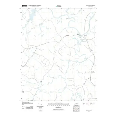 2010 Rochester2010 Print · USGSThe confluence of the Green River and Mud River at Rochester defines this Kentucky landscape at the start of the twenty-first century. Researchers can trace rural settlement patterns through sites like Davenport Landing, Huntsville, and Taylor Cemetery.
 - 2010 Map of Welchs Creek, 2010 Print
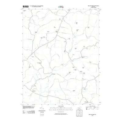 2010 Welchs Creek2010 Print · USGSButler County, Kentucky, at the turn of the millennium remains a landscape of deep hollows and family homesteads. Genealogists can trace rural family plots at Needmore Cemetery and Gary Cemetery or locate the small communities of Welchs Creek and Huldeville.
 - 2010 Map of Reedyville, 2010 Print
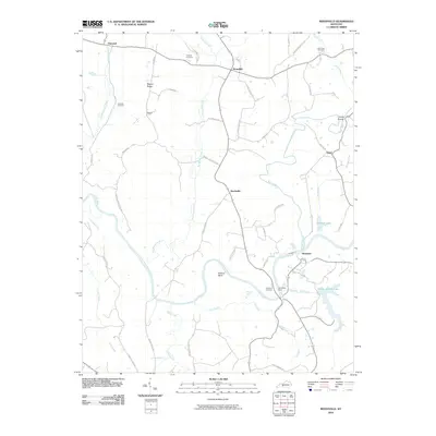 2010 Reedyville2010 Print · USGSButler County's river-fed landscape is captured here in the early 2000s, showing a network of rural settlements along the Green River. Researchers can locate several family burial grounds like Cardwell Cemetery and trace historical river crossings at Honakers Ferry.
 - 2010 Map of Quality, 2010 Print
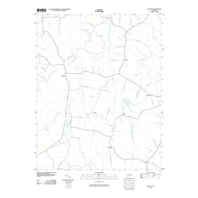 2010 Quality2010 Print · USGSThis rural Butler County landscape in the early twenty-first century reveals a network of tight-knit settlements and family-named landmarks. Genealogists can locate Duncan Cemetery or Smith Cemetery and trace historical property access along Old Quality Rd and Old Greenville Rd.
 - 2010 Map of South Hill, 2010 Print
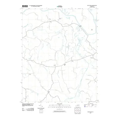 2010 South Hill2010 Print · USGSButler County during the early twenty-first century reveals a landscape defined by the Green River and historic rural hubs. Researchers can trace family sites at Bethel Cemetery or locate the old footprints of Mining City, Provo, and Silver City.
 - 2010 Map of Sugar Grove, 2010 Print
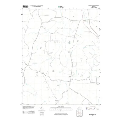 2010 Sugar Grove2010 Print · USGSButler County's rural communities and family landholdings are documented here in the early twenty-first century. Genealogists and local researchers can trace legacy sites like Lee Cemetery, Githens Cemetery, and the community of Sugar Grove.
 - 2010 Map of Flener, 2010 Print
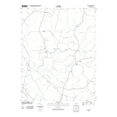 2010 Flener2010 Print · USGSThe Ohio County countryside around the turn of the twenty-first century is detailed here through its network of creek-side settlements. Trace family roots and local landmarks from Baizetown and Eden to the curious Haunted Hollow and Green River Boys Camp.
 - 2010 Map of Dunmor, 2010 Print
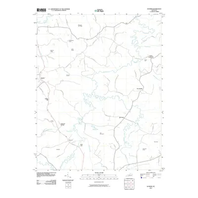 2010 Dunmor2010 Print · USGSThe rural Kentucky landscape near the Logan and Muhlenberg border is shown here as it appeared in the early twenty-first century. Researchers can trace ancestral roots through sites like Fitzhugh Cemetery, the milling history of Forgys Mill, and old settlements like Hollow Bill and Diamond Springs.
 - 2010 Map of Rosine, 2010 Print
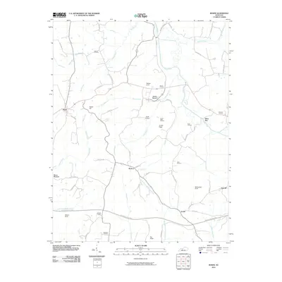 2010 Rosine2010 Print · USGSOhio County, Kentucky, is shown here in the early 21st century, detailing the rural communities and ridge-top settlements of the western coalfields. Genealogists can locate family names and burial sites at Wilson Cemetery, Arnold Ridge Cemetery, and Ferguson Cemetery.
 - 2010 Map of South Union, 2010 Print
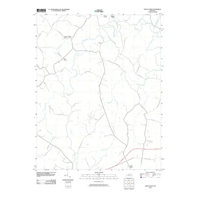 2010 South Union2010 Print · USGSSouth Union and the surrounding Kentucky countryside are captured here during the first decade of the millennium. Researchers can trace ancestral connections at the Felts Cemetery or follow the historic paths through Shaker Hollow and Richelieu Hollow.
 - 2010 Map of Ready, 2010 Print
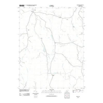 2010 Ready2010 Print · USGSGrayson County at the start of the 2010s remains a landscape of traditional Kentucky rural settlements and winding creek valleys. Genealogists can locate several family burial sites like Preston Cemetery and hamlets such as Windyville and Big Reedy.
 - 2010 Map of Spring Lick, 2010 Print
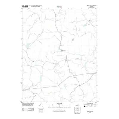 2010 Spring Lick2010 Print · USGSGrayson County's rural crossroads and winding creek valleys are captured here in the early twenty-first century. Genealogists and local historians can trace family land near Jugville, Spring Lick, and Neafus, or locate landmarks like Peach Orchard Ridge and Pine Knob.
 - 2010 Map of Morgantown, 2010 Print
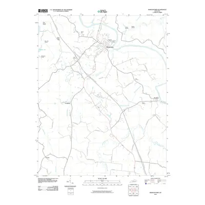 2010 Morgantown2010 Print · USGSButler County at the start of the 2010s shows a landscape where historic river settlements and family landmarks meet modern transit. Genealogists and local researchers can trace old family locations through the Wade Cemetery, Cook Cemetery, and the riverside community of Woodbury.
 - 2010 Map of Cromwell, 2010 Print
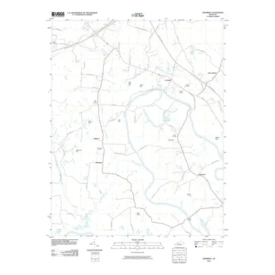 2010 Cromwell2010 Print · USGSInland Ohio County in the early twenty-first century is defined by the deep meanders of the Green River. Genealogists can trace family roots through numerous burial sites like Shultztown Cemetery or locate the site of Reeds Ferry and the village of Cromwell.
 - 2010 Map of Riverside, 2010 Print
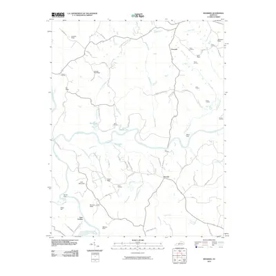 2010 Riverside2010 Print · USGSRiverside and the Warren County countryside come alive in this modern survey as they appeared at the start of the 2010s. Researchers can locate numerous family burial sites and river landmarks, from Peyton Cemetery and Roan Cemetery to the historic Clark Landing at the Barren River.
 - 2013 Map of Quality, 2013 Print
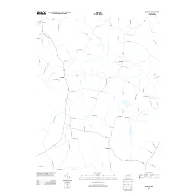 2013 Quality2013 Print · USGSButler County's rural communities are captured here in the early twenty-first century as agricultural patterns and creek-side settlements remain largely intact. Genealogists can trace family footprints near Duncan Cem or along Old Mount Zion School Rd and Quality.
 - 2013 Map of Sugar Grove, 2013 Print
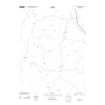 2013 Sugar Grove2013 Print · USGSThis southern Kentucky landscape in 2013 shows a rural network of family cemeteries and small creek-side settlements. Genealogists and historians can trace local roots through sites like Lee Cemetery and New Tuck Cemetery or the community of Sugar Grove.
 - 2013 Map of Rosine, 2013 Print
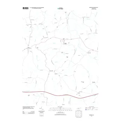 2013 Rosine2013 Print · USGSOhio County, Kentucky, is documented here in the early twenty-first century as a rural landscape of ridges and named branches. Genealogists and local historians can trace family locations through numerous sites like McCord Cem, Horse Branch, and Wildcat Knob.
 - 2013 Map of Spring Lick, 2013 Print
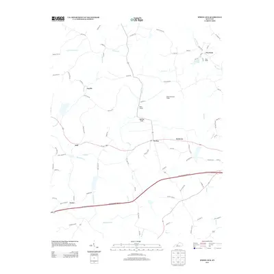 2013 Spring Lick2013 Print · USGSGrayson County's rural crossroads and ridge-and-hollow topography are captured here in the early twenty-first century. Genealogists and local historians can trace family land near Spring Lick or explore the settlements of Jugville and Pine Knob Lake.
 - 2013 Map of Flener, 2013 Print
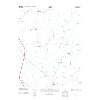 2013 Flener2013 Print · USGSThe Green River valley and its surrounding ridges come into focus in this modern survey of south-central Kentucky. Researchers can trace family-named landmarks and old crossroads such as Flint Springs, Dexterville, and the curious Haunted Hollow.
 - 2013 Map of Welchs Creek, 2013 Print
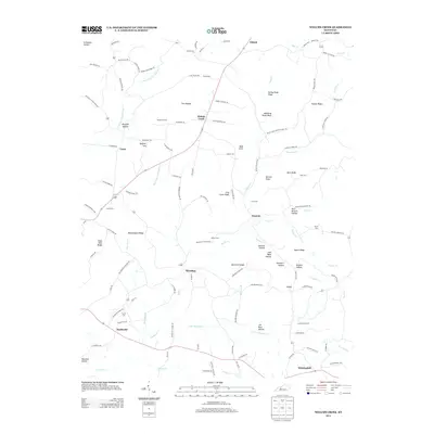 2013 Welchs Creek2013 Print · USGSButler County in the early 21st century remains a landscape of deep-rooted rural settlements and family-named ridges. Genealogists can trace family heritage through sites like Lumbstown Cem, Needmore Cem, and the communities of Brooklyn and Welchs Creek.
 - 2013 Map of Ready, 2013 Print
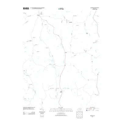 2013 Ready2013 Print · USGSThe rural landscapes of Grayson County are captured here in the early twenty-first century, showing a network of ridge-top settlements and creek-side farms. Researchers can trace family roots through Preston Cem or locate the historic centers of Ready, Nash, and Windyville.
 - 2013 Map of Riverside, 2013 Print
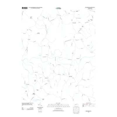 2013 Riverside2013 Print · USGSRiverside and the surrounding Warren County countryside are shown here at the start of the twenty-first century. Genealogists can trace family roots through numerous local sites like White Cem, Threlkel Cem, and the settlement at Clark Landing.
 - 2013 Map of Morgantown, 2013 Print
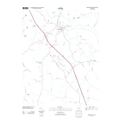 2013 Morgantown2013 Print · USGSMorgantown and the surrounding Butler County countryside appear in this detailed study just as the modern highway network intersected with ancient river routes. Genealogists and local historians can trace family burial sites like Wade Cem or locate the small communities of Youngtown and Leetown.
 - 2013 Map of South Union, 2013 Print
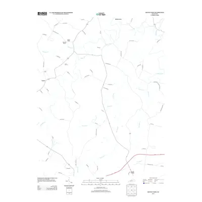 2013 South Union2013 Print · USGSLogan County, Kentucky, maintains its traditional agricultural character in this early 21st-century record of the South Union area. Genealogists can trace family landmarks and burial sites including Felts Cem, Gasper River Cem, and the winding Gasper River.
Showing maps 1-25 of 60
Top cities of Butler County
Frequently asked questions
- What are the different types of historical maps available for Butler County?
- What is the oldest map of Butler County?
- Where can I purchase historical maps of Butler County for my home or office?
- Where can I download high-res historical maps of Butler County?
- Are there historical topographic maps available for Butler County?
- Is there historical aerial imagery available for Butler County?
- Where are historical maps of Butler County sourced from?