2000s (21st Century) Maps of Princeton, Kentucky
Explore 20 historic maps of Princeton from the 2000s (21st Century). These maps offer a rare glimpse into what life looked like during the 2000s — showing old roads, neighborhoods, homes, and landmarks that have changed or disappeared over time.
Whether you're researching your family's past, planning a metal detecting trip, or studying how Princeton's landscape evolved across the 2000s, these high-resolution maps are a powerful tool for exploring the history of this region.
- Focus on a specific era: All maps on this page are from the 2000s, giving you a focused view of this time period.
- See what’s changed: Compare century-old streets, trails, and buildings to today's modern landscape using overlays and satellite layers.
- Research with precision: Use these maps for genealogy, historical research, land use analysis, or educational projects.
- View, download, or print: Maps are fully viewable online in high resolution, and can be downloaded or printed for your own records.
Start exploring Princeton's history through authentic maps from the 2000s. This is your window into the past.
Princeton, KY maps
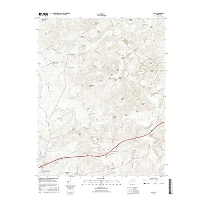
(20)- 2010 Map of Olney, 2010 Print
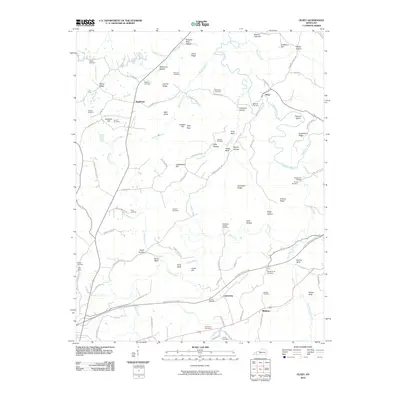 2010 Olney2010 Print · USGSCovers Princeton, including Olney, Lewistown, and other nearby areas
 - 2010 Map of Crider, 2010 Print
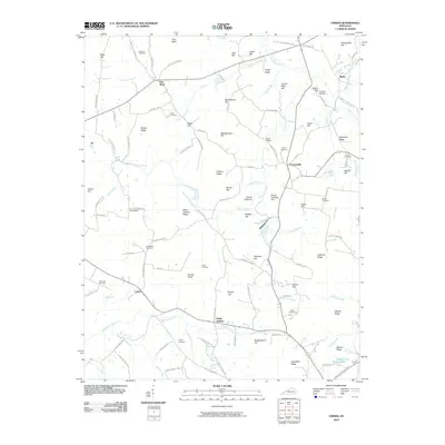 2010 Crider2010 Print · USGSCovers Princeton, including Crider, Crowtown, and other nearby areas
 - 2010 Map of Princeton East, 2010 Print
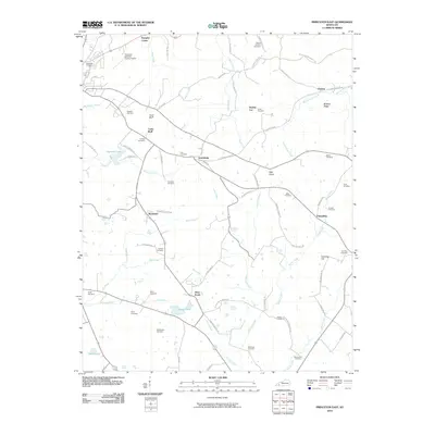 2010 Princeton East2010 Print · USGSCovers Princeton, including Claxton, Pumpkin Center, and other nearby areas
 - 2010 Map of Princeton West, 2010 Print
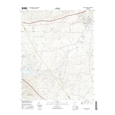
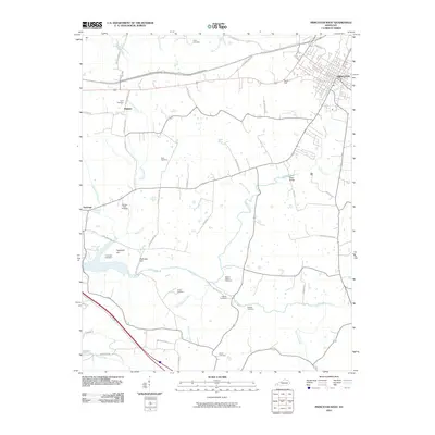 2010 Princeton West2010 Print · USGSCovers Princeton, including Saratoga, Dulaney, and other nearby areas
 - 2013 Map of Princeton West, 2013 Print
 2013 Princeton West2013 Print · USGSCovers Princeton, including Saratoga, Dulaney, and other nearby areas
 - 2013 Map of Olney, 2013 Print
 2013 Olney2013 Print · USGSCovers Princeton, including Olney, Lewistown, and other nearby areas
 - 2013 Map of Princeton East, 2013 Print
 2013 Princeton East2013 Print · USGSCovers Princeton, including Claxton, Pumpkin Center, and other nearby areas
 - 2013 Map of Crider, 2013 Print
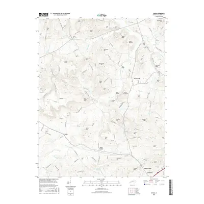
 2013 Crider2013 Print · USGSCovers Princeton, including Crider, Crowtown, and other nearby areas
 - 2016 Map of Olney, 2016 Print
 2016 Olney2016 Print · USGSCovers Princeton, including Olney, Lewistown, and other nearby areas
 - 2016 Map of Princeton West, 2016 Print
 2016 Princeton West2016 Print · USGSCovers Princeton, including Saratoga, Dulaney, and other nearby areas
 - 2016 Map of Princeton East, 2016 Print
 2016 Princeton East2016 Print · USGSCovers Princeton, including Claxton, Pumpkin Center, and other nearby areas
 - 2016 Map of Crider, 2016 Print
 2016 Crider2016 Print · USGSCovers Princeton, including Crider, Crowtown, and other nearby areas
 - 2019 Map of Princeton East, 2019 Print
 2019 Princeton East2019 Print · USGSCovers Princeton, including Claxton, Pumpkin Center, and other nearby areas
 - 2019 Map of Princeton West, 2019 Print
 2019 Princeton West2019 Print · USGSCovers Princeton, including Saratoga, Dulaney, and other nearby areas
 - 2019 Map of Olney, 2019 Print
 2019 Olney2019 Print · USGSCovers Princeton, including Olney, Lewistown, and other nearby areas
 - 2019 Map of Crider, 2019 Print
 2019 Crider2019 Print · USGSCovers Princeton, including Crider, Crowtown, and other nearby areas
 - 2022 Map of Princeton East, 2022 Print
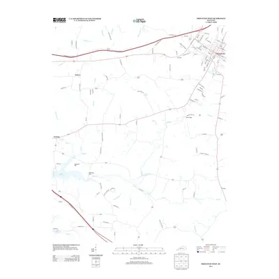
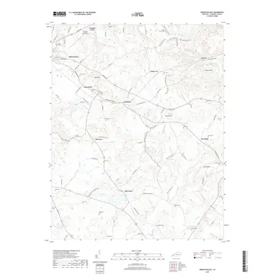
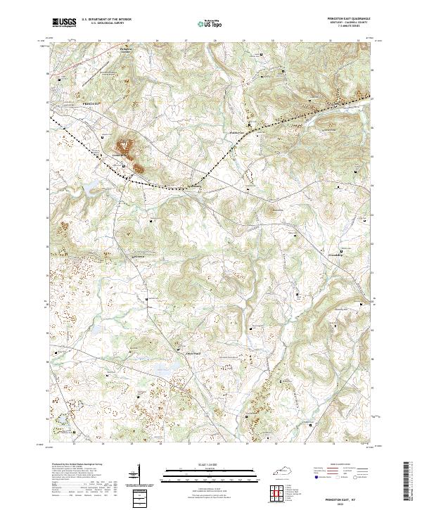 2022 Princeton East2022 Print · USGSCaldwell County's rural heartland is preserved in this recent survey, showcasing a landscape of small farm communities and family history. Trace ancestral roots at Wadlington Cem or McConnell Cem, and explore old transport routes along Old Railroad Bed Rd near Scottsburg.
 - 2022 Map of Olney, 2022 Print
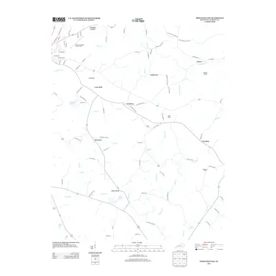
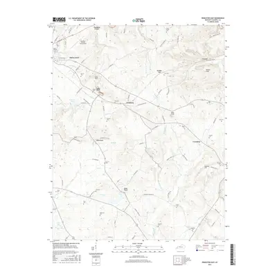
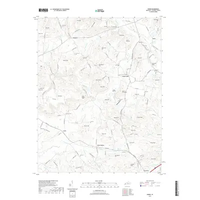
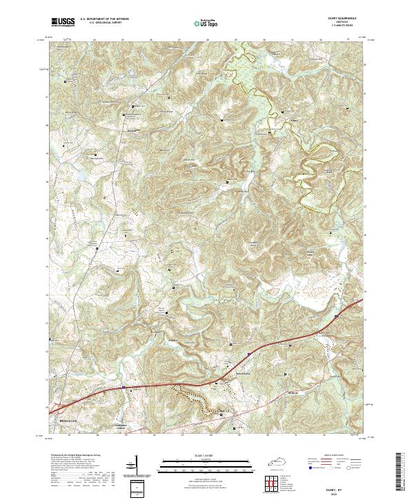 2022 Olney2022 Print · USGSCaldwell County, Kentucky, near the Tradewater River, maintained its rural character into the twenty-first century. Genealogists can trace family names across dozens of sites like Prospect Cem, McNealy Cem, and the small crossroads of Needmore.
 - 2022 Map of Crider, 2022 Print
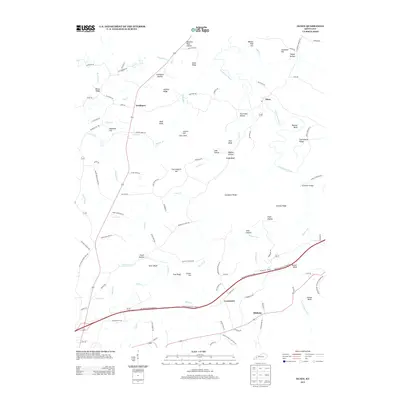
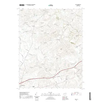
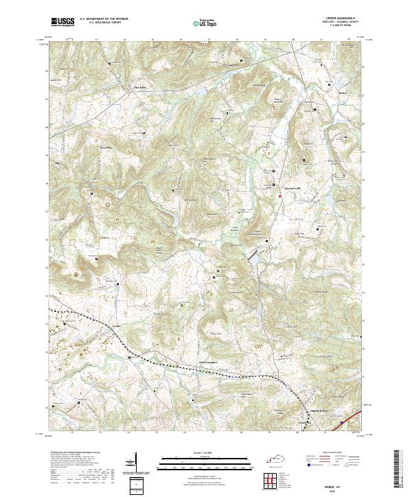 2022 Crider2022 Print · USGSCaldwell County's rural landscape is captured here in the early twenty-first century, showing a region deeply rooted in family land and faith. Researchers can trace dozens of burial sites like Donaldson Baptist Church Cem and the Winn Cem near the P & L RR.
 - 2022 Map of Princeton West, 2022 Print
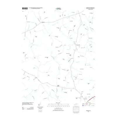
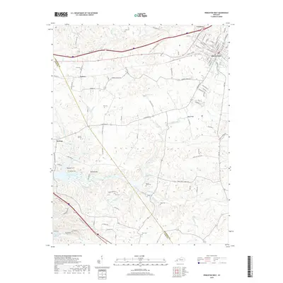
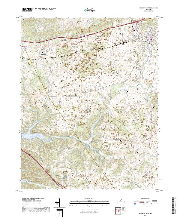 2022 Princeton West2022 Print · USGSCaldwell County's western reaches appear in the early 2020s as a landscape where rural crossroads and modern infrastructure meet the shores of Lake Barkley. Researchers can trace deep local roots through family-named landmarks like Scott Cem, Dulaney, and the Friendship Methodist Church Cem.
End of results
Showing maps 1-20 of 20
Top cities near Princeton
- Marion historical maps
- Cadiz historical maps
- Dawson Springs historical maps
- Eddyville historical maps
- Kuttawa historical maps
- Fredonia historical maps
Top neighborhoods of Princeton
Frequently asked questions
- What are the different types of historical maps available for Princeton?
- What is the oldest map of Princeton?
- Where can I purchase historical maps of Princeton for my home or office?
- Where can I download high-res historical maps of Princeton?
- Are there historical topographic maps available for Princeton?
- Is there historical aerial imagery available for Princeton?
- Where are historical maps of Princeton sourced from?