Old Maps of Princeton, Kentucky for Academic Research
Study the evolution of Princeton with 34 high-resolution historic maps. Whether you're teaching, researching, or modeling changes in land use, these maps provide essential visual documentation of urban, environmental, and geographic change.
- Analyze long-term change: Track patterns in development, transportation, and natural features.
- Ideal for environmental or urban studies: Support academic projects with primary historical map data.
- Use in the classroom or lab: Educators and researchers rely on these maps to bring historical context to life.
These maps are a powerful tool for teaching, research, and visualizing how Princeton has changed over the decades.
Princeton, KY maps
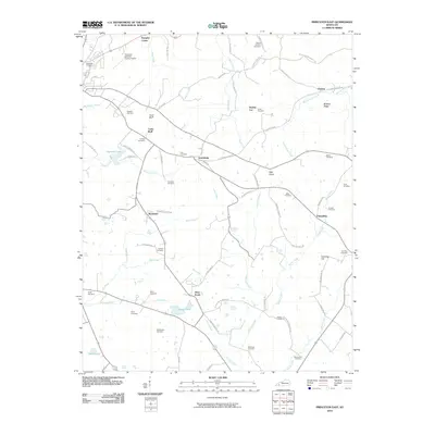
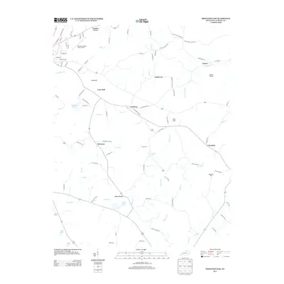
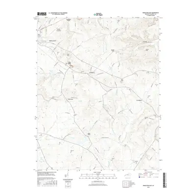
(34)- 1908 Map of Princeton, 1957 Print
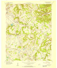
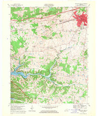
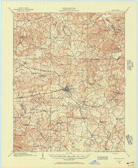 1908 Princeton1957 Print · USGSWestern Kentucky at the dawn of the twentieth century shows a landscape tied together by rail lines and rural schools. Genealogists can trace family footprints across dozens of local landmarks like Heathen Hill School, Otter Pond, and Briarfield Church.
 - 1910 Map of Princeton
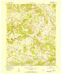
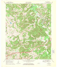
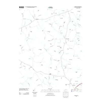
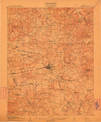 1910 Princeton1910 Print · USGSCaldwell County was a bustling rail hub at the turn of the century, centered on the strategic junction at Princeton. Genealogists can trace rural family roots through a dense network of country schools and churches like Heathen Hill School and Caldwell Chapel.5 unique versions available
 - 1954 Map of Evansville
 1954 Evansville1954 Print · USGSThe Ohio River borderlands between Indiana and Kentucky appear here during a period of robust industrial and military growth. Genealogists and researchers can trace the rail corridors of the Illinois Central and find landmarks like US Lock and Dam No 48 or Camp Breckinridge.
 - 1954 Map of Princeton West, 1955 Print
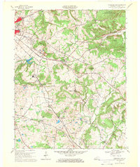
 1954 Princeton West1955 Print · USGSCaldwell County at the mid-century mark centers on the growing hub of Princeton and the busy ILLINOIS CENTRAL rail line. Researchers can trace rural lineages through numerous local landmarks like Friendship Ch, Dotson Sch, and Caldwell Cem.
 - 1954 Map of Olney, 1955 Print
 1954 Olney1955 Print · USGSCaldwell and Hopkins counties meet along the Tradewater River in the mid-1950s, a period of quiet rural life and deep-rooted family farms. Genealogists can trace family names across a landscape filled with landmarks like Grower Cem, McGregor Cem, and the settlement of Lewistown.
 - 1954 Map of Princeton East, 1955 Print
 1954 Princeton East1955 Print · USGSCaldwell County's agrarian and industrial landscape comes into focus during the mid-fifties as the railroad and quarrying operations drive local growth. Researchers can trace dozens of family cemeteries like Tandy Cem and rural nodes like Scottsburg or Harmony Ch.2 unique versions available
 - 1954 Map of Crider, 1955 Print
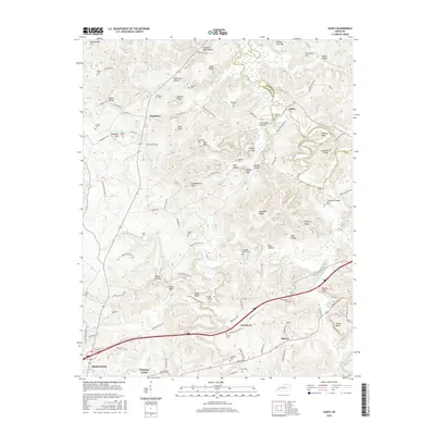
 1954 Crider1955 Print · USGSCaldwell County in the mid-fifties is a landscape of hilltop farms and active mineral extraction. Genealogists can trace family lines through dozens of rural sites like Asher Cem, Bethany Ch, and the active Williamson Mines near Crider.
 - 1957 Map of Evansville, 1969 Print
 1957 Evansville1969 Print · USGSIndiana and Kentucky meet along the Ohio River in this mid-century survey of a vital industrial and transport corridor. Genealogists and historians can trace the development of river towns like Owensboro and Newburgh or locate old rail lines like the Southern Ry.3 unique versions available
 - 1961 Map of Evansville
 1961 Evansville1961 Print · USGSThe Ohio River valley and its surrounding coalfields are captured here during the late fifties and early sixties. Trace the industrial rail networks of the Illinois Central RR and explore regional landmarks like Mammoth Cave National Park and Angel Mounds State Memorial.2 unique versions available
 - 1967 Map of Princeton East, 1969 Print
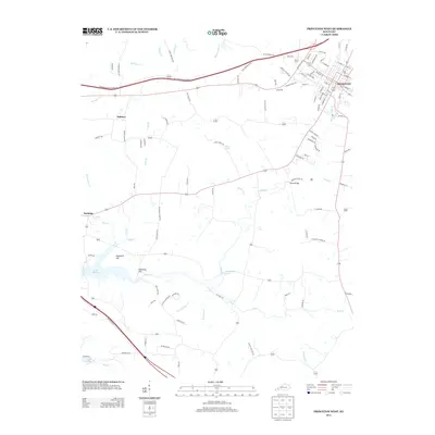
 1967 Princeton East1969 Print · USGSCaldwell County in the late sixties shows a landscape shaped by the Illinois Central railroad and a network of rural settlements. Genealogists can locate family names at Wadlington and Dunning cemeteries or trace landmarks like Pumpkin Center and Otter Pond.
 - 1967 Map of Crider, 1969 Print
 1967 Crider1969 Print · USGSWestern Kentucky's ridge country is captured in the late sixties as the Western Kentucky Pkwy arrives near Crider. Genealogists can trace family names at Bethlehem Cem, Adamson Cem, and White Sulphur Ch.
 - 1967 Map of Princeton West, 1970 Print
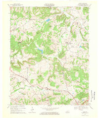
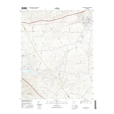
 1967 Princeton West1970 Print · USGSIn the late 1960s, the growing town of Princeton and the emerging waters of Lake Barkley highlight the changing landscape of western Kentucky. Genealogists and local historians can trace legacy sites like the Beck Cemetery, Dulaney, and several country schools including Southside School.
 - 1967 Map of Olney, 1970 Print
 1967 Olney1970 Print · USGSCaldwell County in the late sixties shows a landscape where the new Western Kentucky Parkway meets established river life. Researchers can locate numerous family cemeteries like Creekmur Bridge Cem and trace the old Illinois Central Railroad as it passes near Lewistown.
 - 1983 Map of Madisonville, 1984 Print
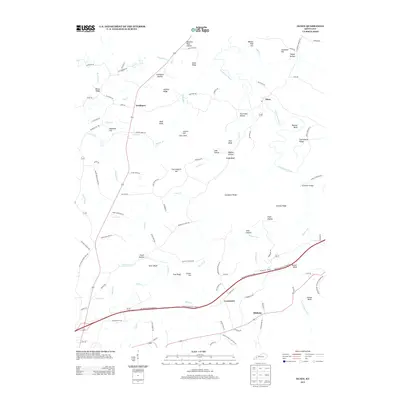
 1983 Madisonville1984 Print · USGSThe Western Kentucky coalfields and river valleys come into focus in the early eighties as the rail-and-river economy matured. Genealogists can trace family footprints across Dawson Springs, Mortons Gap, and Slaughters, or locate landmarks like Shake Rag Hills and Lake Malone.
 - 2010 Map of Olney, 2010 Print
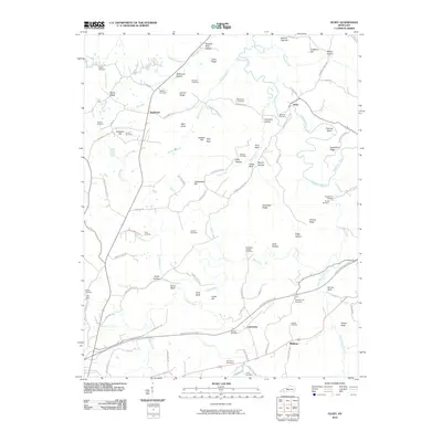 2010 Olney2010 Print · USGSCovers Princeton, including Olney, Lewistown, and other nearby areas
 - 2010 Map of Crider, 2010 Print
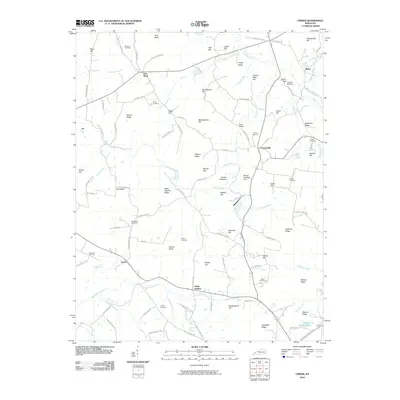 2010 Crider2010 Print · USGSCovers Princeton, including Crider, Crowtown, and other nearby areas
 - 2010 Map of Princeton East, 2010 Print
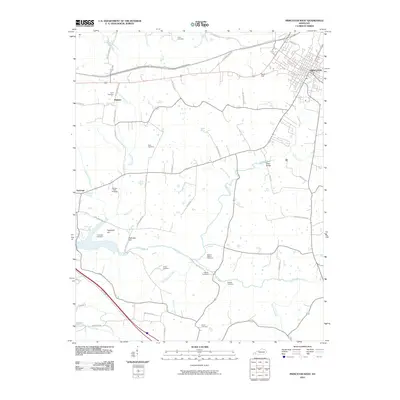
 2010 Princeton East2010 Print · USGSCovers Princeton, including Claxton, Pumpkin Center, and other nearby areas
 - 2010 Map of Princeton West, 2010 Print
 2010 Princeton West2010 Print · USGSCovers Princeton, including Saratoga, Dulaney, and other nearby areas
 - 2013 Map of Princeton West, 2013 Print
 2013 Princeton West2013 Print · USGSCovers Princeton, including Saratoga, Dulaney, and other nearby areas
 - 2013 Map of Olney, 2013 Print
 2013 Olney2013 Print · USGSCovers Princeton, including Olney, Lewistown, and other nearby areas
 - 2013 Map of Princeton East, 2013 Print
 2013 Princeton East2013 Print · USGSCovers Princeton, including Claxton, Pumpkin Center, and other nearby areas
 - 2013 Map of Crider, 2013 Print
 2013 Crider2013 Print · USGSCovers Princeton, including Crider, Crowtown, and other nearby areas
 - 2016 Map of Olney, 2016 Print
 2016 Olney2016 Print · USGSCovers Princeton, including Olney, Lewistown, and other nearby areas
 - 2016 Map of Princeton West, 2016 Print
 2016 Princeton West2016 Print · USGSCovers Princeton, including Saratoga, Dulaney, and other nearby areas
 - 2016 Map of Princeton East, 2016 Print
 2016 Princeton East2016 Print · USGSCovers Princeton, including Claxton, Pumpkin Center, and other nearby areas
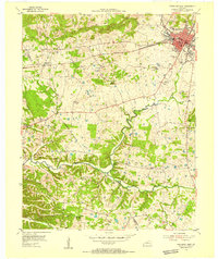
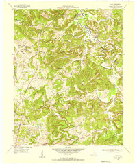
Showing maps 1-25 of 34
Top cities near Princeton
- Marion historical maps
- Cadiz historical maps
- Dawson Springs historical maps
- Eddyville historical maps
- Kuttawa historical maps
- Fredonia historical maps
Top neighborhoods of Princeton
Frequently asked questions
- What are the different types of historical maps available for Princeton?
- What is the oldest map of Princeton?
- Where can I purchase historical maps of Princeton for my home or office?
- Where can I download high-res historical maps of Princeton?
- Are there historical topographic maps available for Princeton?
- Is there historical aerial imagery available for Princeton?
- Where are historical maps of Princeton sourced from?