Old Maps of Bardwell, Kentucky for Hiking & Exploration
Hike through history with 29 historic maps of Bardwell. Explore old trails, ghost towns, and forgotten backroads — perfect for outdoor adventurers and local explorers.
- Rediscover forgotten places: Map out old mining camps, roads, and footpaths that no longer exist on modern maps.
- Layer with modern tools: Combine with LiDAR or satellite views to plan hikes through historical terrain.
- Made for exploration: Popular among hikers, overlanders, and local history lovers.
Use these maps to find adventure and explore the hidden past of Bardwell.
Bardwell, KY maps
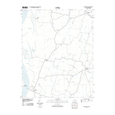
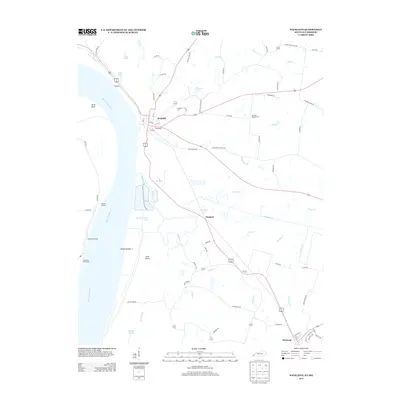
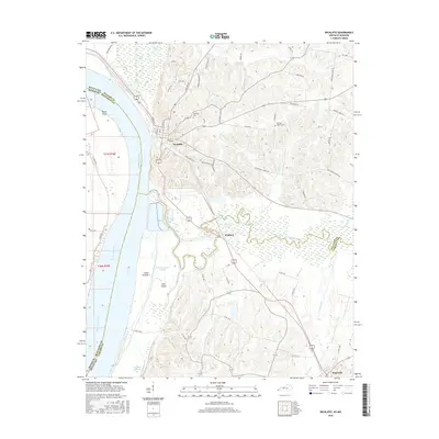
(29)- 1939 Map of Wickliffe
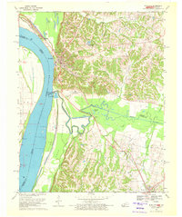
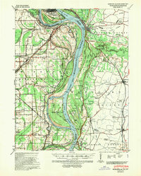 1939 Wickliffe1939 Print · USGSThe confluence of the Ohio and Mississippi Rivers in the late 1930s reveals a landscape of river-bend settlements and early flood control. Genealogists can locate numerous rural landmarks such as St Pauls Ch & Sch, Cherry Geveden Sch, and the historic site of Fort Jefferson.2 unique versions available
 - 1951 Map of Arlington, 1953 Print
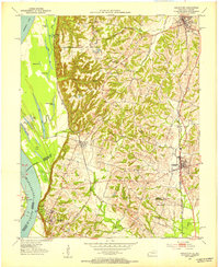 1951 Arlington1953 Print · USGSWestern Kentucky's river bluffs and bottomlands are frozen in time during the early fifties, showing the region's transition from the Mississippi floodplain to upland farms. Researchers can trace family history at Roselawn Cem, locate the Trevathan Sch, or explore the grounds of Columbus-Belmont State Park.2 unique versions available
 - 1951 Map of Wickliffe, 1953 Print
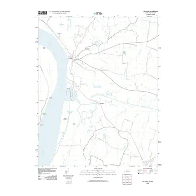
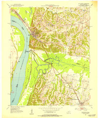 1951 Wickliffe1953 Print · USGSThe river confluence at the Kentucky-Missouri border comes to life in the early fifties, showing the strategic rail and water hub around Wickliffe. Researchers can locate old family landmarks like Harrison Hughes Cem or trace the early paths of the Illinois Central railroad.2 unique versions available
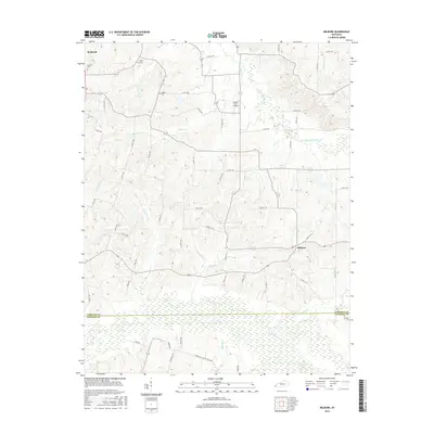
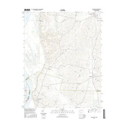
 - 1951 Map of Milburn, 1953 Print
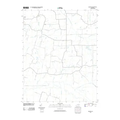
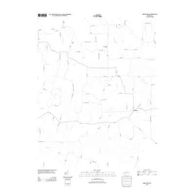
 1951 Milburn1953 Print · USGSWestern Kentucky farmland and creek bottoms appear here in the early fifties, centered on the community of Milburn. Local historians can trace family locations near Antioch Ch, Hebron Cem, and the winding banks of Obion Creek.
 - 1952 Map of Fancy Farm, 1958 Print
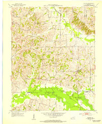
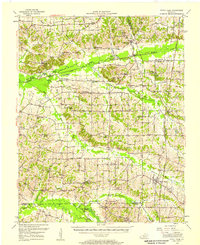 1952 Fancy Farm1958 Print · USGSWestern Kentucky's rural landscapes are documented here in the early fifties, showing the tight-knit farming communities of Graves and Carlisle counties. Trace family history through local landmarks like Fancy Farm, St Charles Sch, and Milburn Cem.
 - 1952 Map of Wickliffe, 1964 Print
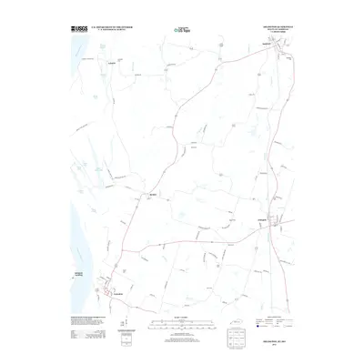
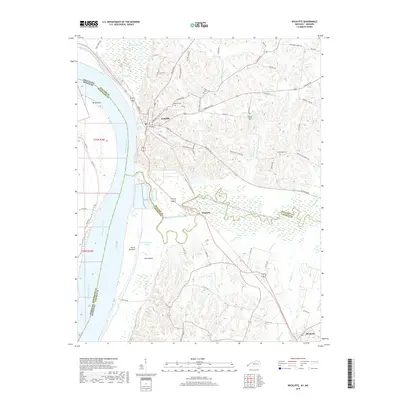
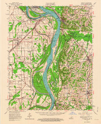 1952 Wickliffe1964 Print · USGSThe confluence of the Ohio and Mississippi rivers in the early fifties shows a bustling network of river commerce and rail lines. You can trace family roots through numerous rural landmarks like North Ballard Ch & Cem, Birds Point Sch, and the rail junction at Winford Junction.
 - 1955 Map of Wickliffe
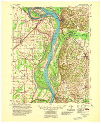 1955 Wickliffe1955 Print · USGSThe confluence of the great river systems at the Kentucky-Missouri-Illinois border is documented here in the mid-fifties. Researchers can locate vanished rural landmarks and river landings like Norfolk Ldg, Thirty Four Corner Sch, and the Mississippi Ch & Cem.
 - 1956 Map of Dyersburg, 1960 Print
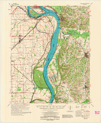
 1956 Dyersburg1960 Print · USGSThe Four Rivers region comes alive in the mid-fifties, capturing the intricate borderlands of Tennessee, Kentucky, and Missouri. Genealogists and historians can trace the rail-and-river networks connecting Dyersburg, Caruthersville, and the shoreline of Reelfoot Lake.4 unique versions available
 - 1970 Map of Arlington, 1972 Print
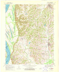 1970 Arlington1972 Print · USGSThe Mississippi River bluffs and Carlisle County uplands are captured here in the 1970s. Trace family history through rural sites like Webbs Chapel, Rogers Cem, and Allen Cem, or follow the path of the Gulf Mobile and Ohio railroad.3 unique versions available
 - 1970 Map of Wickliffe, 1972 Print
 1970 Wickliffe1972 Print · USGSThe river bluffs of western Kentucky met the great confluence in the 1970s, where the Missouri and Illinois borders converge. Genealogists and historians can trace significant landmarks like the Ancient Buried City, the Site of Fort Jefferson, and the Wickliffe Cem.2 unique versions available
 - 1972 Map of Wickliffe
 1972 Wickliffe1972 Print · USGSThe confluence of the Ohio and Mississippi Rivers is captured here in the early seventies, showing a landscape defined by major levees and river commerce. Genealogists can trace family landmarks like Bird Cem and Birds Point Sch or the riverside town of Wickliffe.
 - 1977 Map of Milburn
 1977 Milburn1977 Print · USGSWestern Kentucky farmland and rural communities come to life in this late 1970s record of the Carlisle and Hickman border. Researchers can locate vanished landmarks and family sites like Holder Cem, Central Ch, and the old County High Sch.
 - 1985 Map of Sikeston, 1986 Print
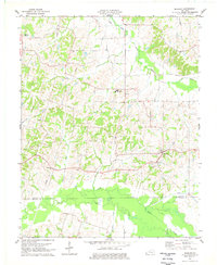
 1985 Sikeston1986 Print · USGSThe Missouri Bootheel and the four-state river convergence are captured in the mid-eighties as the modern agricultural and rail networks matured. Researchers can locate regional landmarks like the Towosahgy State Historic Site, Oak Grove Cem, and towns along the St Louis Southwestern Railroad.2 unique versions available
 - 1986 Map of Murray
 1986 Murray1986 Print · USGSWestern Kentucky in the mid-1980s reveals a landscape defined by the Tennessee and Cumberland rivers. Genealogists and historians can trace rail-town development along the Illinois Central Gulf RR and find family-named locations like Dukedom and Water Valley.2 unique versions available
 - 2010 Map of Milburn, 2010 Print
 2010 Milburn2010 Print · USGSCovers Bardwell, including Arlington, Milburn, and other nearby areas
 - 2010 Map of Arlington, 2010 Print
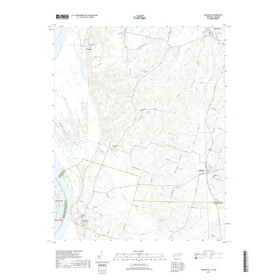
 2010 Arlington2010 Print · USGSCovers Bardwell, including Arlington, Columbus, and other nearby areas
 - 2010 Map of Wickliffe, 2010 Print
 2010 Wickliffe2010 Print · USGSCovers Bardwell, including Wickliffe, Winford, and other nearby areas
 - 2013 Map of Milburn, 2013 Print
 2013 Milburn2013 Print · USGSCovers Bardwell, including Arlington, Milburn, and other nearby areas
 - 2013 Map of Arlington, 2013 Print
 2013 Arlington2013 Print · USGSCovers Bardwell, including Arlington, Columbus, and other nearby areas
 - 2013 Map of Wickliffe, 2013 Print
 2013 Wickliffe2013 Print · USGSCovers Bardwell, including Wickliffe, Winford, and other nearby areas
 - 2016 Map of Wickliffe, 2016 Print
 2016 Wickliffe2016 Print · USGSCovers Bardwell, including Wickliffe, Winford, and other nearby areas
 - 2016 Map of Milburn, 2016 Print
 2016 Milburn2016 Print · USGSCovers Bardwell, including Arlington, Milburn, and other nearby areas
 - 2016 Map of Arlington, 2016 Print
 2016 Arlington2016 Print · USGSCovers Bardwell, including Arlington, Columbus, and other nearby areas
 - 2019 Map of Arlington, 2019 Print
 2019 Arlington2019 Print · USGSCovers Bardwell, including Arlington, Columbus, and other nearby areas
 - 2019 Map of Wickliffe, 2019 Print
 2019 Wickliffe2019 Print · USGSCovers Bardwell, including Wickliffe, Winford, and other nearby areas
Showing maps 1-25 of 29
Top cities near Bardwell
- Cairo historical maps
- Clinton historical maps
- La Center historical maps
- Wickliffe historical maps
- Barlow historical maps
- Mound City historical maps
See more
Frequently asked questions
- What are the different types of historical maps available for Bardwell?
- What is the oldest map of Bardwell?
- Where can I purchase historical maps of Bardwell for my home or office?
- Where can I download high-res historical maps of Bardwell?
- Are there historical topographic maps available for Bardwell?
- Is there historical aerial imagery available for Bardwell?
- Where are historical maps of Bardwell sourced from?