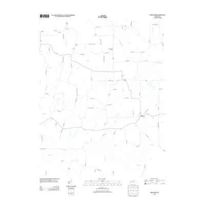
2013 Map of Milburn
USGS Topo · Published 2013About this map
Milburn serves as the central hub for this portion of Carlisle County, situated at a junction where several local routes converge. The landscape is defined by an intricate network of waterways, including Obion Cr, W Fork Mayfield Cr, and Guess Cr, which drain the agricultural land. Family histories are deeply rooted in the area, as evidenced by established burial grounds like Bardwell Cem, Elsey Cem, and Holder Cem. The map reveals a rural economy dependent on a dense grid of farm-to-market roads such as Beulah-Milburn RD and Arlington-Us 51 RD. Local landmarks like the Larkins Farm Airport highlight modern land use, while labels like Gupton School RD and Brown Schoolhouse RD preserve the memory of former rural education centers.
Find a feature on this map
69 named features on this map. Tap any name to fly to it.
Don’t see what you’re looking for? This feature index may not catch every label — zoom into the map to look around manually.
Map Details
Editions of this 2013 Milburn Map
This is the sole edition of this map. No revisions or reprints were ever made.
Other maps of this area

1939 · Wickliffe
USGS Topo · 1:62,500

1939 · Hickman
USGS Topo · 1:62,500

1951 · Blandville
USGS Topo · 1:24,000

1951 · Oakton
USGS Topo · 1:24,000

1951 · Arlington
USGS Topo · 1:24,000

1951 · Wickliffe
USGS Topo · 1:24,000

1951 · Milburn
USGS Topo · 1:24,000

1952 · Clinton
USGS Topo · 1:24,000

1952 · Dublin
USGS Topo · 1:24,000

1952 · Fancy Farm
USGS Topo · 1:24,000