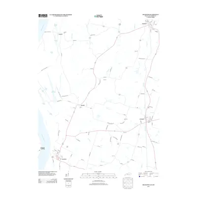
2013 Map of Arlington
USGS Topo · Published 2013About this map
Mississippi River bluffs and backwater sloughs dominate this western Kentucky landscape, where the floodplains meet the uplands of Carlisle and Hickman Counties. The settlement of Columbus sits at the southwestern edge of the survey, historically positioned near the riverbanks, while the town of Bardwell serves as a focal point in the northeast. This area preserves a dense record of family and community heritage through numerous burial grounds, including Roselawn Cem near Bardwell and the Taylor Cem further south.
Find a feature on this map
95 named features on this map. Tap any name to fly to it.
Don’t see what you’re looking for? This feature index may not catch every label — zoom into the map to look around manually.
Map Details
Editions of this 2013 Arlington Map
This is the sole edition of this map. No revisions or reprints were ever made.
Other maps of this area

1939 · Wickliffe
USGS Topo · 1:62,500

1939 · Hickman
USGS Topo · 1:62,500

1951 · Blandville
USGS Topo · 1:24,000

1951 · Oakton
USGS Topo · 1:24,000

1951 · Wolf Island
USGS Topo · 1:24,000

1951 · Wickliffe SW
USGS Topo · 1:24,000

1951 · Arlington
USGS Topo · 1:24,000

1951 · Wickliffe
USGS Topo · 1:24,000

1951 · Milburn
USGS Topo · 1:24,000

1952 · Clinton
USGS Topo · 1:24,000