2000s (21st Century) Maps of Clark County, Kentucky
Explore 45 historic maps of Clark County from the 2000s (21st Century). These maps offer a rare glimpse into what life looked like during the 2000s — showing old roads, neighborhoods, homes, and landmarks that have changed or disappeared over time.
Whether you're researching your family's past, planning a metal detecting trip, or studying how Clark County's landscape evolved across the 2000s, these high-resolution maps are a powerful tool for exploring the history of this region.
- Focus on a specific era: All maps on this page are from the 2000s, giving you a focused view of this time period.
- See what’s changed: Compare century-old streets, trails, and buildings to today's modern landscape using overlays and satellite layers.
- Research with precision: Use these maps for genealogy, historical research, land use analysis, or educational projects.
- View, download, or print: Maps are fully viewable online in high resolution, and can be downloaded or printed for your own records.
Start exploring Clark County's history through authentic maps from the 2000s. This is your window into the past.
Clark County, KY maps
(45)- 2010 Map of Union City, 2010 Print
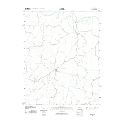 2010 Union City2010 Print · USGSMadison County at the turn of the decade reveals a landscape defined by the Kentucky River and its deep creek valleys. Genealogists and local historians can trace family-named roads and landmarks like Jackson Ferry, Weddles Mill, and the Flatwoods Cemetery.
 - 2010 Map of Ford, 2010 Print
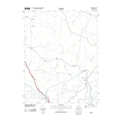 2010 Ford2010 Print · USGSThe Kentucky River corridor and its historic crossings are captured here in the early 21st century. Researchers can trace local lineage through small settlements like Boonesboro, Lisletown, and Ford, or locate old homesteads along GRIMES MILL RD.
 - 2010 Map of Clintonville, 2010 Print
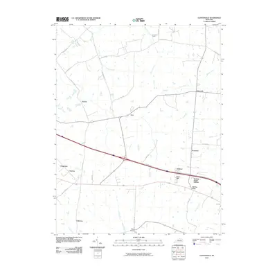 2010 Clintonville2010 Print · USGSThe rural landscape northeast of Lexington is shown in the early twenty-first century as historic farmsteads met suburban growth. Trace the development of local communities like Wyandotte and Yorktown alongside landmarks such as Air Castle Airport.
 - 2010 Map of Sideview, 2010 Print
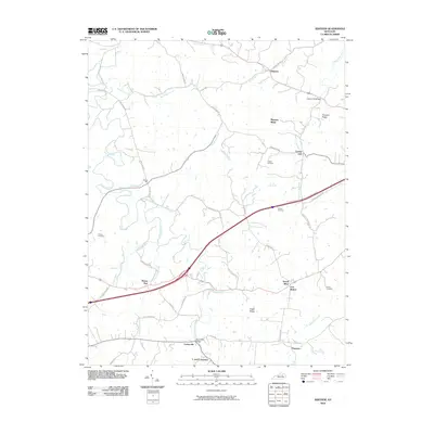 2010 Sideview2010 Print · USGSThis rural Clark County landscape in the early twenty-first century reveals a deeply rooted network of crossroads settlements and family farms. Researchers can trace ancestral sites at Greene Cemetery and Prewitt Cemetery or locate historic hubs like Wades Mill and Sewell Shop.
 - 2010 Map of Winchester, 2010 Print
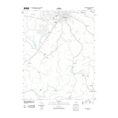 2010 Winchester2010 Print · USGSWinchester and its surrounding Bluegrass countryside are shown here just after the first decade of the new millennium. Genealogists and local historians can trace family-named landmarks and rural settlements like Point Breeze Stock Farm, Jackson Ferry, and Locust Grove.
 - 2010 Map of Palmer, 2010 Print
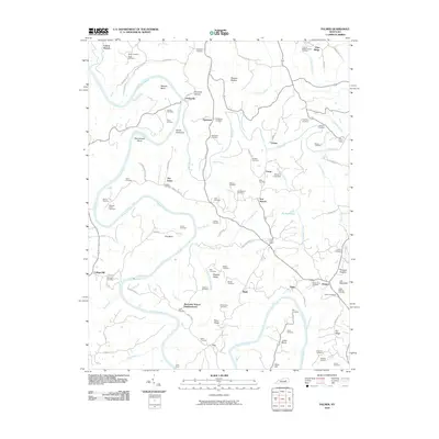 2010 Palmer2010 Print · USGSThe convergence of the Kentucky and Red Rivers defines this Clark County landscape during the early 21st century. Researchers can trace family history through numerous landmarks like Lilly's Ferry, Log Lick Baptist Church, and the Alexander School Neighborhood.
 - 2010 Map of Austerlitz, 2010 Print
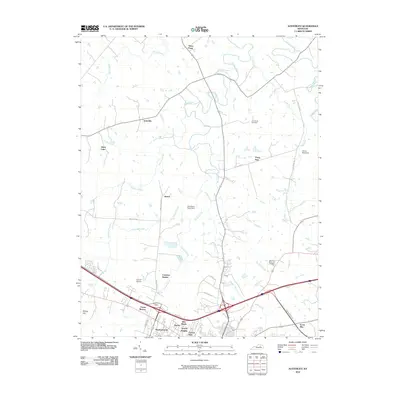 2010 Austerlitz2010 Print · USGSCentral Kentucky's Bluegrass region is captured here during a period of suburban growth south of Austerlitz. Researchers can trace family history at the Gist Family Cemetery or locate established local landmarks like the Codell Airport and Holmhurst Stock Farm.
 - 2010 Map of Levee, 2010 Print
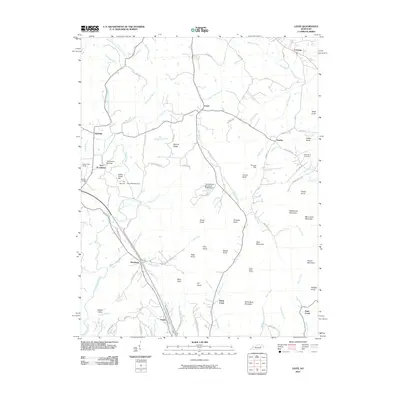 2010 Levee2010 Print · USGSEastern Montgomery County at the turn of the millennium remains a landscape of isolated knobs and deep creek forks. Genealogists and hikers can trace old family sites like Willoughby Cemetery, the historic Thomas Mill, and landmarks like Pilot Knob.
 - 2010 Map of Hedges, 2010 Print
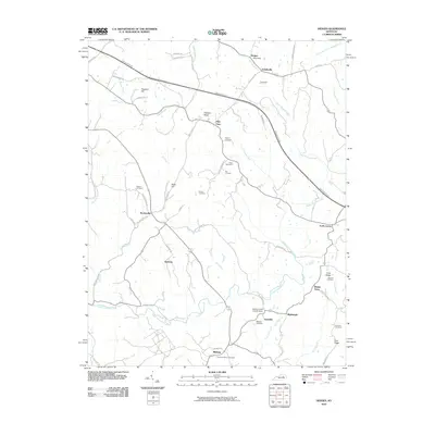 2010 Hedges2010 Print · USGSAgawam and the surrounding Clark County countryside are captured here in the early twenty-first century as modern transit corridors meet historic crossroads. Researchers can trace ancestral roots through numerous family burial sites like Osborne Cemetery or explore established hamlets such as Pilot View and Rabbit Town.
 - 2013 Map of Austerlitz, 2013 Print
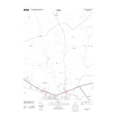 2013 Austerlitz2013 Print · USGSCentral Kentucky's bluegrass country is captured here during its transition from established stock farms to modern residential expansion. Researchers can find old family sites like the Gist Family Cem and Holmhurst Stock Farm alongside the Devils Backbone and an Indian Mound.
 - 2013 Map of Sideview, 2013 Print
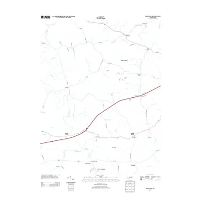 2013 Sideview2013 Print · USGSThe rural landscapes around Mount Zion and Sideview are captured here in the early twenty-first century, showing a region defined by historical pikes and small crossroads. Genealogists can locate family landmarks like Prewitt Cem, Greene Cem, and the settlement at Wades Mill.
 - 2013 Map of Clintonville, 2013 Print
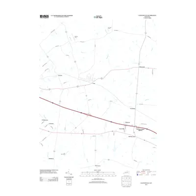 2013 Clintonville2013 Print · USGSThe Bluegrass region east of Lexington is captured here during a time of residential growth and aviation development. Genealogists can trace family footprints through established hamlets like Avon, Clintonville, and Pine Grove, or locate private strips like Wild Blue Airport.
 - 2013 Map of Levee, 2013 Print
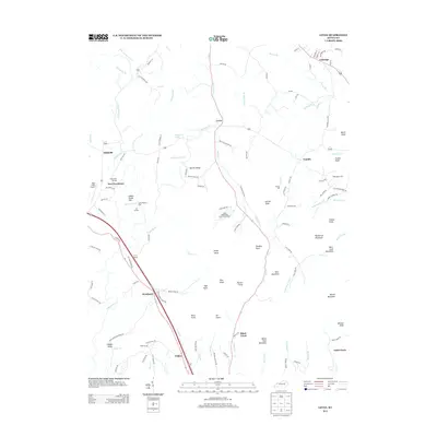 2013 Levee2013 Print · USGSKentucky's rolling ridge country comes alive in this survey of the communities south of Camargo during the early twenty-first century. Researchers can trace family names and local industry at Thomas Mill, Willoughby Cem, and the high points of Barlow Ridge.
 - 2013 Map of Union City, 2013 Print
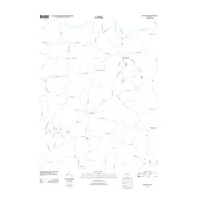 2013 Union City2013 Print · USGSMadison County, Kentucky, remains a landscape of river bends and rural crossroads in the early twenty-first century. Genealogists and local historians can trace family-named routes and small settlements like Doylesville, Union City, and the historic crossing at Jackson Ferry.
 - 2013 Map of Winchester, 2013 Print
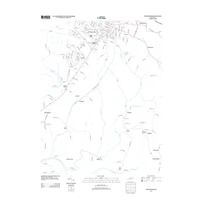 2013 Winchester2013 Print · USGSClark County's rolling landscape south of the city shows a mix of suburban growth and traditional Kentucky farmland in this recent survey. Genealogists and historians can trace family-named locations such as Jackson Ferry, Point Breeze Stock Farm, and the site of Indian Graves.
 - 2013 Map of Palmer, 2013 Print
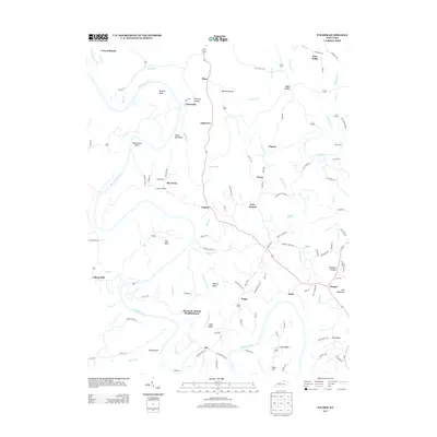 2013 Palmer2013 Print · USGSEastern Kentucky's river valleys and ridgelands are meticulously detailed here as they appeared in the early twenty-first century. Genealogists and local historians can trace the paths of Ferry Rd, identify sites near Alexander School Neighborhood, and locate family land near Maupin Bend.
 - 2013 Map of Ford, 2013 Print
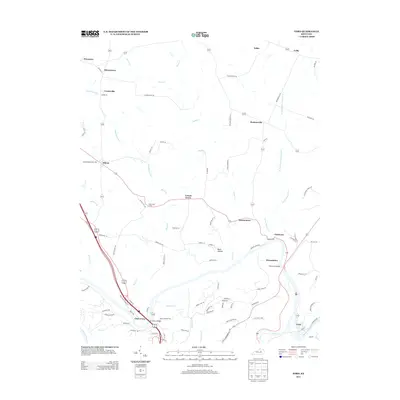 2013 Ford2013 Print · USGSThe Kentucky River corridor south of Lexington comes alive in this modern survey of the Bluegrass region's rural hamlets and river crossings. Genealogists and local historians can trace the roads and homesteads surrounding Boonesboro, Clays Ferry, and Becknerville or locate the site of Blue Grass Camp.
 - 2013 Map of Hedges, 2013 Print
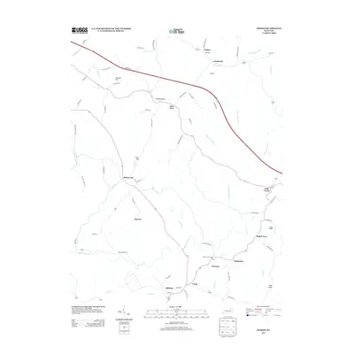 2013 Hedges2013 Print · USGSAgawam and the surrounding Clark County countryside are captured here in the early twenty-first century, showing a landscape shaped by creek forks and crossroads. Genealogists can trace family connections through small communities like Ruckerville, Trapp, and Rabbit Town, or locate landmarks such as Boones Creek Church Camp.
 - 2016 Map of Palmer, 2016 Print
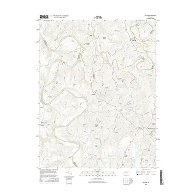 2016 Palmer2016 Print · USGSThe Kentucky River and its dramatic bends define this rural landscape during the mid-2010s at the intersection of Clark, Madison, and Estill counties. Researchers can locate numerous family burial sites like Howard-Davis Cem and settlements such as Vianna and Palmer.
 - 2016 Map of Winchester, 2016 Print
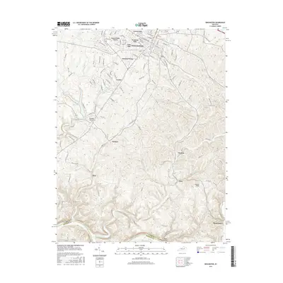 2016 Winchester2016 Print · USGSWinchester and its surrounding Clark County countryside are captured here in the mid-2010s. Researchers can trace family history through sites like Daniel Grove Cem or locate rural settlements such as Flanagan, Elkin, and Bloomingdale along the Kentucky River.
 - 2016 Map of Union City, 2016 Print
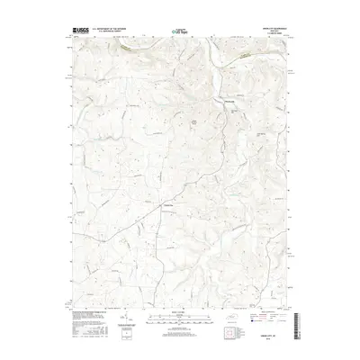 2016 Union City2016 Print · USGSMadison County's rural landscape is captured here during the mid-2010s, centered on the crossroads of Union City and the winding Kentucky River. Researchers can locate family landmarks like Flatwoods Cem or trace local landmarks including Mill Dam Hill and the Jordan Hill Farm Airport.
 - 2016 Map of Hedges, 2016 Print
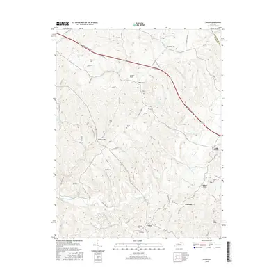 2016 Hedges2016 Print · USGSEastern Clark County in the mid-2010s reveals a patchwork of established rural settlements and family cemeteries. Genealogists and local historians can trace the geography of communities like Agawam and Schollsville, or find ancestral sites at Parrish Cem and Rupard Cem.
 - 2016 Map of Ford, 2016 Print
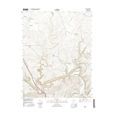 2016 Ford2016 Print · USGSThe Kentucky River valley southeast of Lexington comes to life in this detailed survey, showing the interconnected river-and-road landscape at the start of the 21st century. Trace early settlement sites and local landmarks like Boonesborough, the Clay's Ferry Bridge, and the community of Ford.
 - 2016 Map of Sideview, 2016 Print
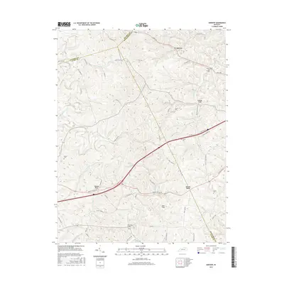 2016 Sideview2016 Print · USGSThe intersection of Bourbon, Clark, and Montgomery Counties is captured here in the mid-2010s. Researchers can locate family landmarks such as Greene Cem and Prewitt Cem or trace the rural routes connecting Sideview and Sewell Shop.
 - 2016 Map of Levee, 2016 Print
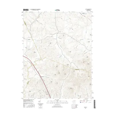 2016 Levee2016 Print · USGSEastern Kentucky's knob country is documented here in the mid-2010s, showing the intersection of Montgomery, Clark, and Powell counties. Genealogists can trace family landmarks and rural clusters like Kiddville, Westbend, and the prominent peak of Pilot Knob.
Showing maps 1-25 of 45
Top cities of Clark County
Frequently asked questions
- What are the different types of historical maps available for Clark County?
- What is the oldest map of Clark County?
- Where can I purchase historical maps of Clark County for my home or office?
- Where can I download high-res historical maps of Clark County?
- Are there historical topographic maps available for Clark County?
- Is there historical aerial imagery available for Clark County?
- Where are historical maps of Clark County sourced from?