2000s (21st Century) Maps of Floyd County, Kentucky
Explore 80 historic maps of Floyd County from the 2000s (21st Century). These maps offer a rare glimpse into what life looked like during the 2000s — showing old roads, neighborhoods, homes, and landmarks that have changed or disappeared over time.
Whether you're researching your family's past, planning a metal detecting trip, or studying how Floyd County's landscape evolved across the 2000s, these high-resolution maps are a powerful tool for exploring the history of this region.
- Focus on a specific era: All maps on this page are from the 2000s, giving you a focused view of this time period.
- See what’s changed: Compare century-old streets, trails, and buildings to today's modern landscape using overlays and satellite layers.
- Research with precision: Use these maps for genealogy, historical research, land use analysis, or educational projects.
- View, download, or print: Maps are fully viewable online in high resolution, and can be downloaded or printed for your own records.
Start exploring Floyd County's history through authentic maps from the 2000s. This is your window into the past.
Floyd County, KY maps
(80)- 2010 Map of Wayland, 2010 Print
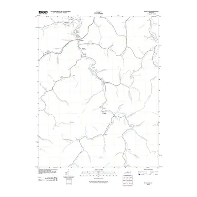 2010 Wayland2010 Print · USGSWayland and the surrounding hollows of Floyd County appear here in the early 2000s, showing a landscape shaped by the winding Right Fork Beaver Creek. Genealogists can locate family burial grounds like Conley Cemetery or trace the development of local hubs such as Hueysville and Estill.
 - 2010 Map of Wheelwright, 2010 Print
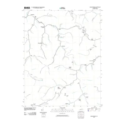 2010 Wheelwright2010 Print · USGSThe coal country of eastern Kentucky is documented here in the early twenty-first century, showing the tight-knit settlements of Wheelwright and Weeksbury. Local history researchers can trace family names through landmarks like Abner Mountain and cemeteries such as Tackett Cemetery and Fleming Memorial Gardens.
 - 2010 Map of David, 2010 Print
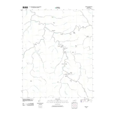 2010 David2010 Print · USGSMagoffin County settlements and family hollows along the Licking River are documented here in the early twenty-first century. Genealogists can trace family lineage across dozens of named sites, including the John B Shepard Cemetery, Arthurmabel, and Lovely Hollow.
 - 2010 Map of Handshoe, 2010 Print
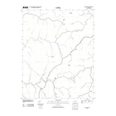 2010 Handshoe2010 Print · USGSKnott County, Kentucky, is shown here in the early twenty-first century, featuring a landscape of steep ridges and creek-bottom communities. Researchers can trace family roots at the Bolen Cemetery or locate landmarks like the Signal Knob Lookout Tower and Soft Shell.
 - 2010 Map of Offutt, 2010 Print
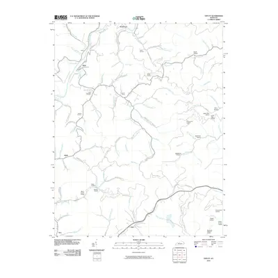 2010 Offutt2010 Print · USGSJohnson County, Kentucky, is documented here in the early twenty-first century, showing the intricate creek networks of the Appalachians. Researchers can trace family roots through Butcher Hollow and numerous burial sites like Old Friendship Cemetery and Atkins Cemetery.
 - 2010 Map of Kite, 2010 Print
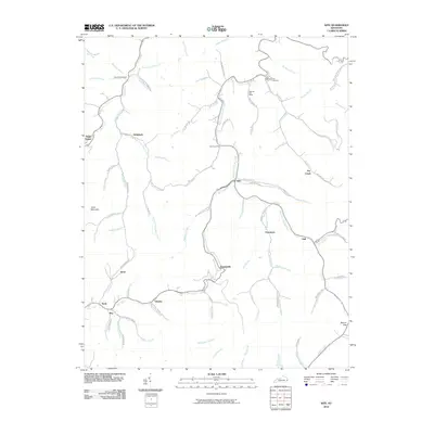 2010 Kite2010 Print · USGSKnott County's narrow valleys and ridge-top terrain are documented in detail during the early twenty-first century. Family history researchers can locate the Topmost Post Office, Bald Hill Cemetery, and settlements like Pippa Passes and Martinsville.
 - 2010 Map of Ivyton, 2010 Print
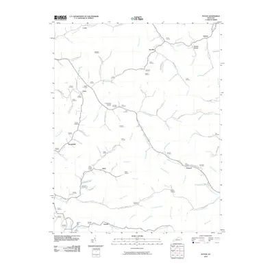 2010 Ivyton2010 Print · USGSEastern Kentucky's creek-carved landscape is documented here in the early twenty-first century, showing a network of tightly knit rural communities. Genealogists can trace family heritage through dozens of local sites like Wireman Cemetery, the Wireman Post Office, and Boone Howard Cemetery.
 - 2010 Map of Pikeville, 2010 Print
 2010 Pikeville2010 Print · USGSPikeville and the surrounding Appalachian hollows are captured here during a period of modern growth along the Levisa Fork. Researchers can trace family history through numerous local sites like the John Mimms Sword Cemetery, Dill Cemetery, and the historic Cider Poor Farm Ridge.
 - 2010 Map of McDowell, 2010 Print
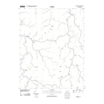 2010 McDowell2010 Print · USGSThe valleys of eastern Kentucky are meticulously detailed in this early twenty-first-century survey of the Beaver Creek watershed. Trace local family history through Lee Alley Cemetery or find rural landmarks like the Mud Creek Lookout Tower and Grethel Post Office.
 - 2010 Map of Lancer, 2010 Print
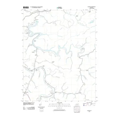 2010 Lancer2010 Print · USGSFloyd County at the turn of the decade shows a landscape shaped by the waters of the Levisa Fork and the recreation-rich shoreline of Dewey Lake. Trace family roots and local history through small settlements like Emma and Endicott or the grounds of Mayo Cemetery.
 - 2010 Map of Harold, 2010 Print
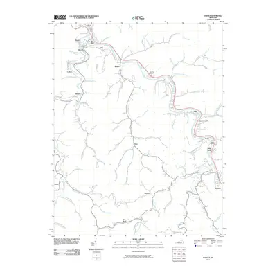 2010 Harold2010 Print · USGSEastern Kentucky's coal-country hollows and river bends are captured here during the first decade of the millennium. Trace the paths of family-named settlements and local landmarks like the Dwale Post Office, Blue Moon, and the sprawling Davidson Memorial Gardens.
 - 2010 Map of Prestonsburg, 2010 Print
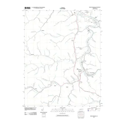 2010 Prestonsburg2010 Print · USGSThe Louisa Fork valley in eastern Kentucky was a hub of river-and-rail activity during the early twenty-first century. Genealogists and local historians can trace family sites at the Governors Cemetery, Davidson Cemetery, and the Fitzpatrick Post Office.
 - 2010 Map of Broad Bottom, 2010 Print
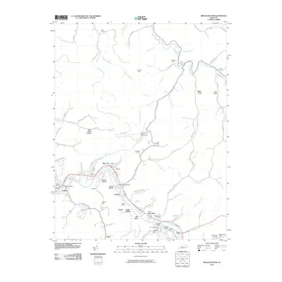 2010 Broad Bottom2010 Print · USGSThe Levisa Fork valley in eastern Kentucky was a hub of riverfront activity and transportation early in the twenty-first century. Genealogists and local historians can trace family burial sites like Marrs Cemetery and Weddington Cemetery alongside settlements at Coal Run Village and Mossy Bottom.
 - 2010 Map of Thomas, 2010 Print
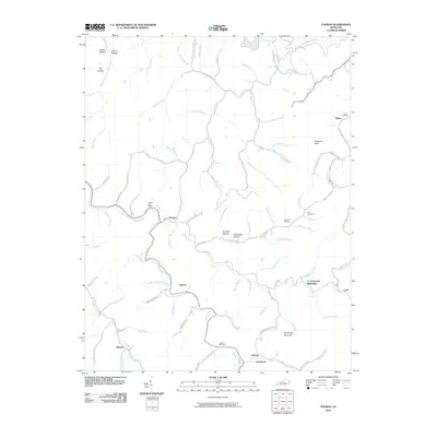 2010 Thomas2010 Print · USGSEastern Kentucky's ridge-and-hollow landscape is captured here in the early twenty-first century. Genealogists can trace family names at CC Maynards Settlement or locate remote burial sites like Kirk Cemetery and Jackson Cemetery tucked away in the hills.
 - 2010 Map of Martin, 2010 Print
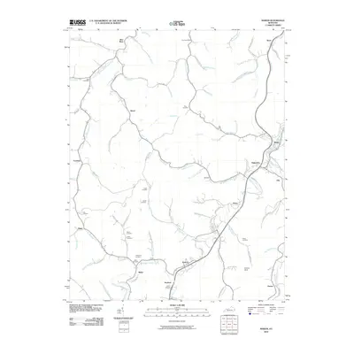 2010 Martin2010 Print · USGSFloyd County's mountain communities and deep hollows are captured in this early 2000s topographical study. Genealogists can trace numerous family burial sites like Ratliff Cemetery and Fitzpatrick Cemetery alongside established hubs like Eastern and Martin.
 - 2010 Map of Paintsville, 2010 Print
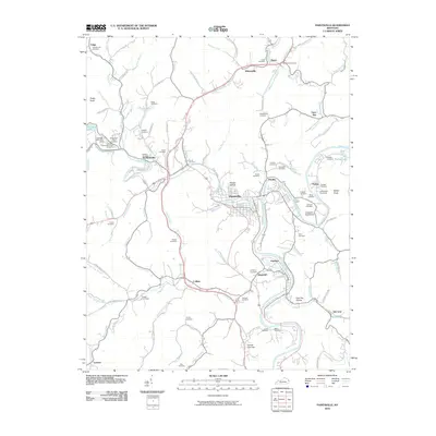 2010 Paintsville2010 Print · USGSThe Levisa Fork valley in the early twenty-first century reveals a landscape rich in family history and hollow-based settlements. Genealogists can locate dozens of family burial sites like Whitehouse and Vanhoose, or trace heritage in Van Lear and Thelma.
 - 2013 Map of Offutt, 2013 Print
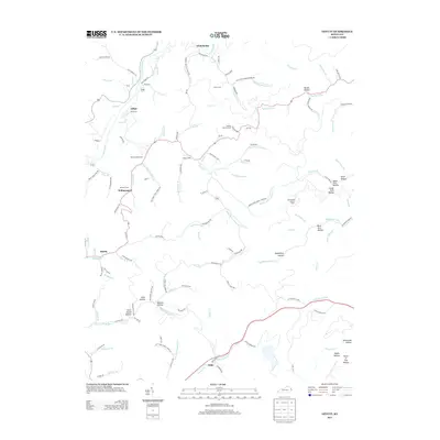 2013 Offutt2013 Print · USGSEastern Kentucky's coal-country hollows are mapped in detail during the early twenty-first century. Researchers can trace family roots through Butcher Hollow and Williamsport, or locate landmarks like Spring Knob Lookout Tower and the Ballard Butcher Cem.
 - 2013 Map of Paintsville, 2013 Print
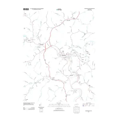 2013 Paintsville2013 Print · USGSJohnson County is shown in detail during the early 21st century, centered on the confluence of the Levisa Fork and Paint Cr. Genealogists and local historians can trace family locations at Highland Memorial Park, Staffordsville, and the small settlement of Tutor Key.
 - 2013 Map of Wheelwright, 2013 Print
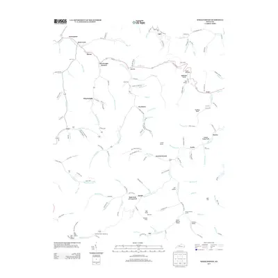 2013 Wheelwright2013 Print · USGSIn the heart of the Kentucky coalfields during the early twenty-first century, this map traces the deep hollows and creek-side settlements of Floyd County. Genealogists and historians can locate numerous family burial sites like Burke Cem and trace the residential layouts of Wheelwright and Weeksbury.
 - 2013 Map of David, 2013 Print
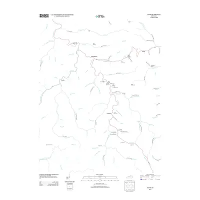 2013 David2013 Print · USGSThis part of eastern Kentucky during the early twenty-first century is defined by its deep hollows and the winding Licking River. Researchers can locate numerous family burial sites like the Wireman Cem and Dona Howard Cem or trace the early paths of Arthurmabel and Gunlock.
 - 2013 Map of Ivyton, 2013 Print
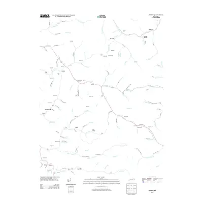 2013 Ivyton2013 Print · USGSMagoffin and Floyd counties in the early twenty-first century reveal a landscape of deep-rooted family settlements along the valley floors. Genealogists can trace hundreds of years of local history through family landmarks like Sub Howard Cem, Galdia, and Brainard.
 - 2013 Map of Martin, 2013 Print
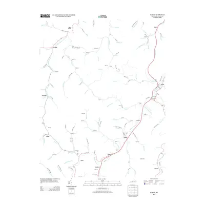 2013 Martin2013 Print · USGSFloyd County, Kentucky, is shown in the early twenty-first century as a network of valley settlements and family cemeteries along the Right Fork Beaver Cr. Researchers can trace local heritage through landmarks like Fitzpatrick Cem, Langley, and the historic junction at Martin.
 - 2013 Map of Broad Bottom, 2013 Print
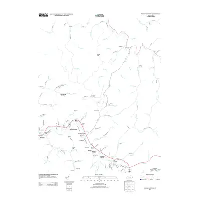 2013 Broad Bottom2013 Print · USGSAlong the Levisa Fork in the early 2010s, this area shows a landscape defined by riverside settlements and the local mining industry. Researchers can trace family sites like Marrs Cem and Coal Run Village or locate the sprawling Pike County Airport-Hatcher Field.
 - 2013 Map of Harold, 2013 Print
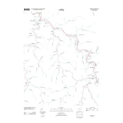 2013 Harold2013 Print · USGSEastern Kentucky's coal and rail country is captured here in the early twenty-first century, showing the tight-knit settlements along the river valleys. Genealogists can trace family names and sites across Betsy Layne, Blue Moon, and Davidson Memorial Gardens.
 - 2013 Map of McDowell, 2013 Print
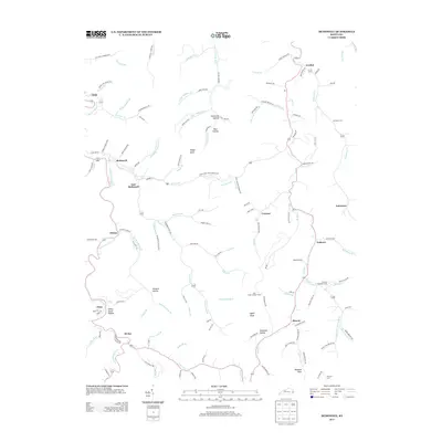 2013 McDowell2013 Print · USGSThe mountain valleys of eastern Kentucky are mapped here in the early twenty-first century, showing the enduring settlement patterns of Floyd County. Genealogists and local historians can trace family-named sites like Indian Grave Hollow and the Thomas Hamilton Cem or locate the Mud Creek Lookout Tower.
Showing maps 1-25 of 80
Top cities of Floyd County
- Prestonsburg historical maps
- Wheelwright historical maps
- Auxier historical maps
- Betsy Layne historical maps
- Martin historical maps
- Wayland historical maps
See more
Frequently asked questions
- What are the different types of historical maps available for Floyd County?
- What is the oldest map of Floyd County?
- Where can I purchase historical maps of Floyd County for my home or office?
- Where can I download high-res historical maps of Floyd County?
- Are there historical topographic maps available for Floyd County?
- Is there historical aerial imagery available for Floyd County?
- Where are historical maps of Floyd County sourced from?