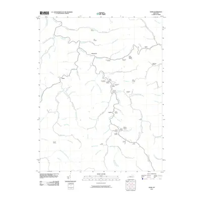
2010 Map of David
USGS Topo · Published 2010About this map
The Licking River winds through the hills of Magoffin County, anchoring a landscape defined by isolated settlements and a dense concentration of family burial grounds. Central to the map is Arthurmabel, situated along the river's bend, while Gunlock and Waldo sit along the winding creek valleys to the south and west. This area is characterized by its numerous small hollows, such as Lovely Hollow and Stillhouse Hollow, each tied to the regional watershed of the river and its many forks.
Find a feature on this map
93 named features on this map. Tap any name to fly to it.
Don’t see what you’re looking for? This feature index may not catch every label — zoom into the map to look around manually.
Map Details
Editions of this 2010 David Map
This is the sole edition of this map. No revisions or reprints were ever made.
Other maps of this area

1886 · Prestonsburg
USGS Topo · 1:125,000

1889 · Salyersville
USGS Topo · 1:125,000

1890 · Whitesburg
USGS Topo · 1:125,000

1891 · Hazard
USGS Topo · 1:125,000

1891 · Salyersville
USGS Topo · 1:125,000

1892 · Whitesburg
USGS Topo · 1:125,000

1892 · Prestonsburg
USGS Topo · 1:125,000

1899 · Salyersville
USGS Topo · 1:125,000

1912 · Hindman
USGS Topo · 1:48,000

1914 · Troublesome
USGS Topo · 1:62,500