2000s (21st Century) Maps of Hopkins County, Kentucky
Explore 95 historic maps of Hopkins County from the 2000s (21st Century). These maps offer a rare glimpse into what life looked like during the 2000s — showing old roads, neighborhoods, homes, and landmarks that have changed or disappeared over time.
Whether you're researching your family's past, planning a metal detecting trip, or studying how Hopkins County's landscape evolved across the 2000s, these high-resolution maps are a powerful tool for exploring the history of this region.
- Focus on a specific era: All maps on this page are from the 2000s, giving you a focused view of this time period.
- See what’s changed: Compare century-old streets, trails, and buildings to today's modern landscape using overlays and satellite layers.
- Research with precision: Use these maps for genealogy, historical research, land use analysis, or educational projects.
- View, download, or print: Maps are fully viewable online in high resolution, and can be downloaded or printed for your own records.
Start exploring Hopkins County's history through authentic maps from the 2000s. This is your window into the past.
Hopkins County, KY maps
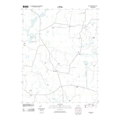
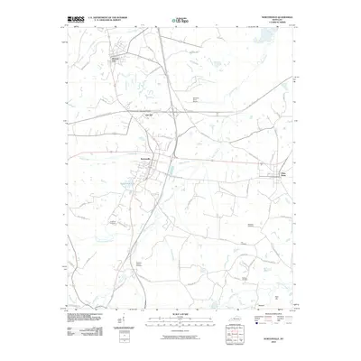
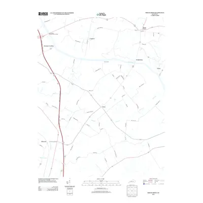
(95)- 2010 Map of Olney, 2010 Print
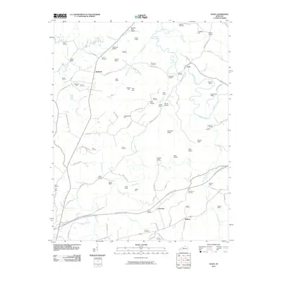 2010 Olney2010 Print · USGSCovers Hopkins County, including Princeton, Olney, and other nearby areas
 - 2010 Map of Dalton, 2010 Print
 2010 Dalton2010 Print · USGSCovers Hopkins County, including Utley Ford, Dalton, and other nearby areas
 - 2010 Map of Saint Charles, 2010 Print
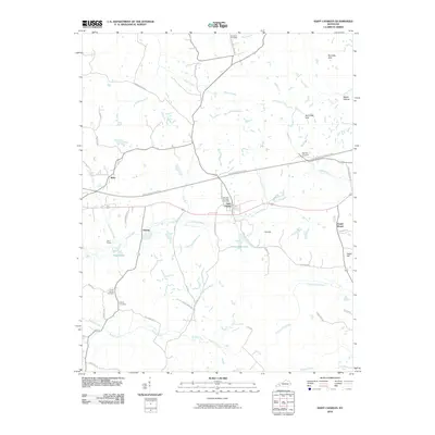 2010 Saint Charles2010 Print · USGSCovers Hopkins County, including Hamby, Ilsley, and other nearby areas
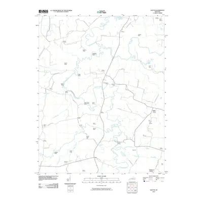
 - 2010 Map of Slaughters, 2010 Print
 2010 Slaughters2010 Print · USGSCovers Hopkins County, including Madisonville, Hanson, and other nearby areas
 - 2010 Map of Sacramento, 2010 Print
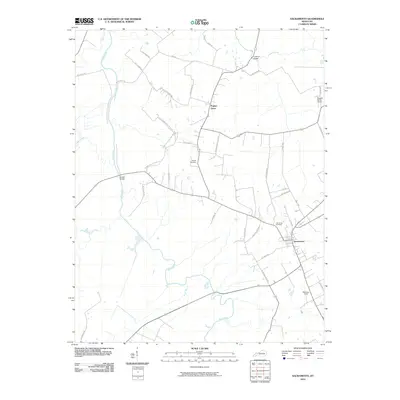 2010 Sacramento2010 Print · USGSCovers Hopkins County, including Sacramento, Poplar Grove, and other nearby areas
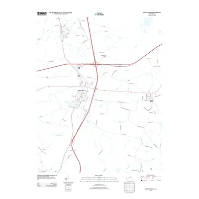
 - 2010 Map of Madisonville East, 2010 Print
 2010 Madisonville East2010 Print · USGSCovers Hopkins County, including Madisonville, Earlington, and other nearby areas
 - 2010 Map of Hanson, 2010 Print
 2010 Hanson2010 Print · USGSCovers Hopkins County, including Madisonville, Hanson, and other nearby areas
 - 2010 Map of Calhoun, 2010 Print
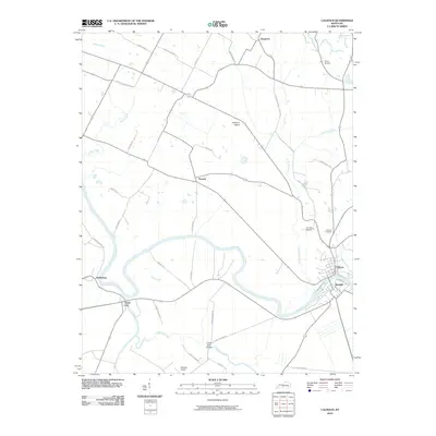 2010 Calhoun2010 Print · USGSCovers Hopkins County, including Calhoun, Cleopatra, and other nearby areas
 - 2010 Map of Coiltown, 2010 Print
 2010 Coiltown2010 Print · USGSCovers Hopkins County, including Fiddle Bow, Sixth Vein, and other nearby areas
 - 2010 Map of Dawson Springs, 2010 Print
 2010 Dawson Springs2010 Print · USGSCovers Hopkins County, including Dawson Springs, Charleston, and other nearby areas
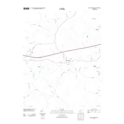
 - 2010 Map of Nebo, 2010 Print
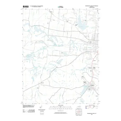
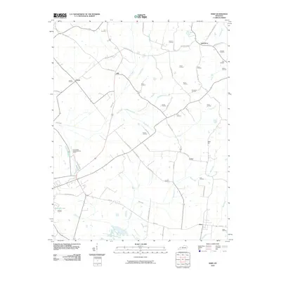 2010 Nebo2010 Print · USGSCovers Hopkins County, including Providence, Dixon, and other nearby areas
 - 2010 Map of Providence, 2010 Print
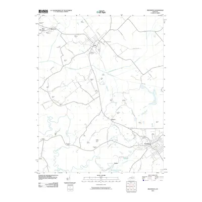 2010 Providence2010 Print · USGSCovers Hopkins County, including Providence, Clay, and other nearby areas
 - 2010 Map of Madisonville West, 2010 Print
 2010 Madisonville West2010 Print · USGSCovers Hopkins County, including Madisonville, Earlington, and other nearby areas
 - 2010 Map of Dawson Springs SE, 2010 Print
 2010 Dawson Springs SE2010 Print · USGSCovers Hopkins County, including Era, Christian County, and other nearby areas
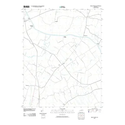
 - 2010 Map of Beech Grove, 2010 Print
 2010 Beech Grove2010 Print · USGSCovers Hopkins County, including Wrightsburg, Roland Landing, and other nearby areas
 - 2010 Map of Graham, 2010 Print
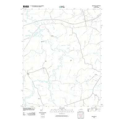 2010 Graham2010 Print · USGSCovers Hopkins County, including White Plains, Bakersport, and other nearby areas
 - 2010 Map of Crofton, 2010 Print
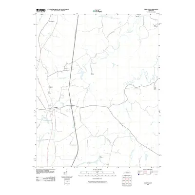 2010 Crofton2010 Print · USGSCovers Hopkins County, including Crofton, Empire, and other nearby areas
 - 2010 Map of Millport, 2010 Print
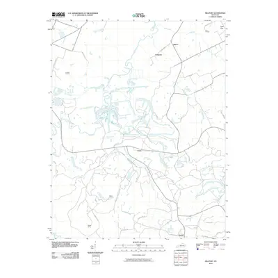 2010 Millport2010 Print · USGSCovers Hopkins County, including Fies, Sandy, and other nearby areas
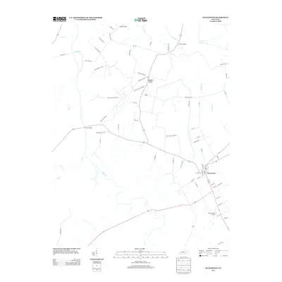
 - 2010 Map of Nortonville, 2010 Print
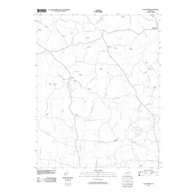
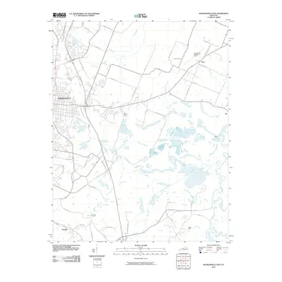
 2010 Nortonville2010 Print · USGSCovers Hopkins County, including Nortonville, Mortons Gap, and other nearby areas
 - 2013 Map of Sacramento, 2013 Print
 2013 Sacramento2013 Print · USGSCovers Hopkins County, including Sacramento, Poplar Grove, and other nearby areas
 - 2013 Map of Millport, 2013 Print
 2013 Millport2013 Print · USGSCovers Hopkins County, including Fies, Sandy, and other nearby areas
 - 2013 Map of Nortonville, 2013 Print
 2013 Nortonville2013 Print · USGSCovers Hopkins County, including Nortonville, Mortons Gap, and other nearby areas
 - 2013 Map of Saint Charles, 2013 Print
 2013 Saint Charles2013 Print · USGSCovers Hopkins County, including Hamby, Ilsley, and other nearby areas
 - 2013 Map of Beech Grove, 2013 Print
 2013 Beech Grove2013 Print · USGSCovers Hopkins County, including Wrightsburg, Roland Landing, and other nearby areas
 - 2013 Map of Calhoun, 2013 Print
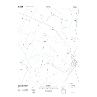 2013 Calhoun2013 Print · USGSCovers Hopkins County, including Calhoun, Cleopatra, and other nearby areas
Showing maps 1-25 of 95
Top cities of Hopkins County
- Madisonville historical maps
- Dawson Springs historical maps
- Earlington historical maps
- Nortonville historical maps
- Mortons Gap historical maps
- White Plains historical maps
See more
Frequently asked questions
- What are the different types of historical maps available for Hopkins County?
- What is the oldest map of Hopkins County?
- Where can I purchase historical maps of Hopkins County for my home or office?
- Where can I download high-res historical maps of Hopkins County?
- Are there historical topographic maps available for Hopkins County?
- Is there historical aerial imagery available for Hopkins County?
- Where are historical maps of Hopkins County sourced from?