2000s (21st Century) Maps of Jackson County, Kentucky
Explore 55 historic maps of Jackson County from the 2000s (21st Century). These maps offer a rare glimpse into what life looked like during the 2000s — showing old roads, neighborhoods, homes, and landmarks that have changed or disappeared over time.
Whether you're researching your family's past, planning a metal detecting trip, or studying how Jackson County's landscape evolved across the 2000s, these high-resolution maps are a powerful tool for exploring the history of this region.
- Focus on a specific era: All maps on this page are from the 2000s, giving you a focused view of this time period.
- See what’s changed: Compare century-old streets, trails, and buildings to today's modern landscape using overlays and satellite layers.
- Research with precision: Use these maps for genealogy, historical research, land use analysis, or educational projects.
- View, download, or print: Maps are fully viewable online in high resolution, and can be downloaded or printed for your own records.
Start exploring Jackson County's history through authentic maps from the 2000s. This is your window into the past.
Jackson County, KY maps
(55)- 2010 Map of Johnetta, 2010 Print
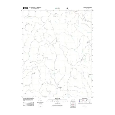 2010 Johnetta2010 Print · USGSRockcastle County's winding creek valleys and ridge-top roads are documented here in the early twenty-first century. Researchers can trace the layout of rural communities like Johnetta and Goochland, or locate family sites near Chasteen Cemetery and Rose's Mill.
 - 2010 Map of Parrot, 2010 Print
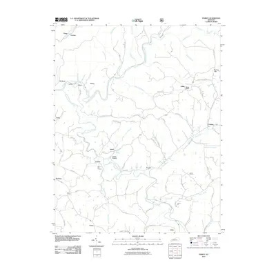 2010 Parrot2010 Print · USGSJackson County rural life is mapped in detail during the early 2010s, showing the winding river forks and dispersed settlements. Researchers can locate family landmarks like Thomas Mill or trace ancestral roots at Mount Zion Cemetery and Lear Cemetery.
 - 2010 Map of Livingston, 2010 Print
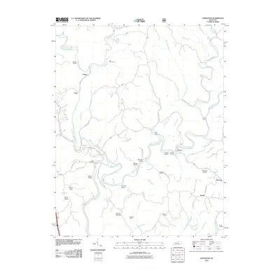 2010 Livingston2010 Print · USGSThe Rockcastle River corridor is captured here in the early 2000s, showcasing the winding hollows and isolated ridges of rural Kentucky. Researchers can locate family landmarks like Robinson Cemetery or trace travel routes along Old Wilderness Rd and the Cruise Ferry.
 - 2010 Map of Sandgap, 2010 Print
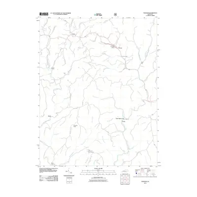 2010 Sandgap2010 Print · USGSJackson County at the start of the 2010s reveals a high-plateau landscape of ridge roads and deep hollows. Researchers can trace rural settlement patterns through family-named landmarks like Carpenter Ridge and Waneta Post Office, or locate the S Tree Lookout Tower.
 - 2011 Map of Bighill, 2011 Print
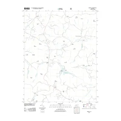 2011 Bighill2011 Print · USGSMadison County's rugged knob country comes into focus in this modern survey of the early twenty-first century. Researchers can trace family history through sites like Hardin Cemetery, the cascades of Anglin Falls, and the small community at Clover Bottom.
 - 2011 Map of Alcorn, 2011 Print
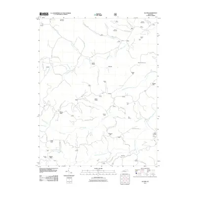 2011 Alcorn2011 Print · USGSJackson County’s ridges and creek valleys are documented here during the early twenty-first century. Genealogists can locate numerous remote burial sites, including Needmore Cemetery and Swine Cemetery, or trace rural landmarks like Powells Mill and the Alcorn Post Office.
 - 2011 Map of Sturgeon, 2011 Print
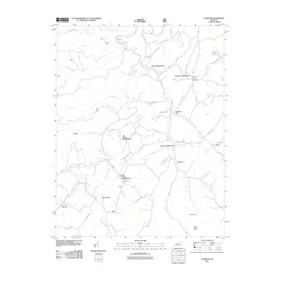 2011 Sturgeon2011 Print · USGSJackson County rural life in the early twenty-first century centers on traditional neighborhoods and creek-side settlements. Local historians can trace family roots through the Vincent Post Office, Travellers Rest, and the John Tyler Brewer Cemetery.
 - 2011 Map of Leighton, 2011 Print
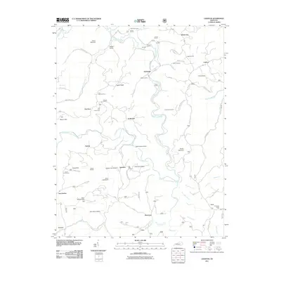 2011 Leighton2011 Print · USGSJackson County's rugged ridge country is documented here in the early twenty-first century, showing a landscape of isolated hollows and high-point vistas. Genealogists can trace family names through the Durbin Cemetery, Drip Rock Post Office, and Old Orchard Lookout Tower.
 - 2011 Map of Tyner, 2011 Print
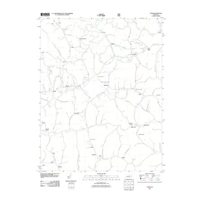 2011 Tyner2011 Print · USGSThe eastern Kentucky highlands around Tyner and Annville are shown here during the early twenty-first century as a landscape of interconnected ridge communities. Genealogists can locate family landmarks such as Walnut Hill Cemetery and the Tyner Post Office, or trace the winding course of Pond Creek.
 - 2011 Map of McKee, 2011 Print
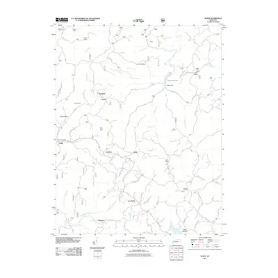 2011 McKee2011 Print · USGSJackson County settlement and the intricate ridge-and-hollow topography are documented here just after the turn of the millennium. Genealogists and local historians can trace family locations near Stelle Cemeteries, Atkinstown, and the McKee Post Office.
 - 2011 Map of Maulden, 2011 Print
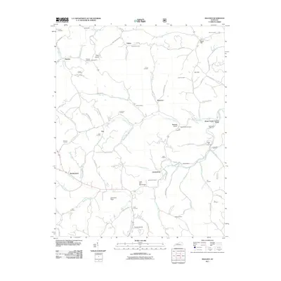 2011 Maulden2011 Print · USGSOwsley County at the start of the 2010s reveals a landscape of deep hollows and tightly-knit rural communities. Researchers can trace family history through numerous burial grounds like Boggs Flat Cemeteries and locate old service hubs such as Wilson's Mill and the Sexton Creek Post Office.
 - 2013 Map of McKee, 2013 Print
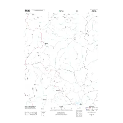 2013 McKee2013 Print · USGSThe rural Jackson County landscape is shown here in the early twenty-first century, featuring a rugged network of ridges and river forks. Researchers can locate family landmarks like Stelle Cemeteries, trace the War Fork drainage, or find the site of Turkey Foot Campground.
 - 2013 Map of Maulden, 2013 Print
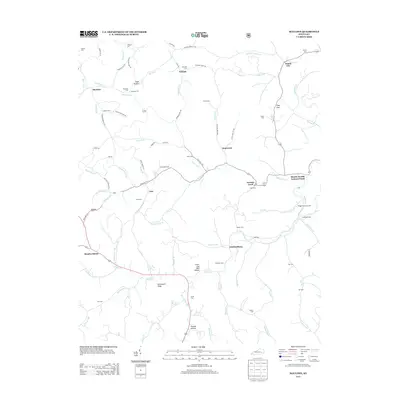 2013 Maulden2013 Print · USGSOwsley County's creek-bottom settlements and ridge-top cemeteries are captured here in the early twenty-first century. Genealogists can trace family lines through the Boggs Flat Cemeteries, Maulden P O, and dozens of burial sites like Cradlebow Cem.
 - 2013 Map of Tyner, 2013 Print
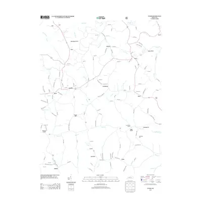 2013 Tyner2013 Print · USGSJackson County rural life is detailed in the early twenty-first century, showing the enduring network of family cemeteries and ridge-top settlements. Researchers can locate Cunnigan Cem, the Moores Creek School Rd, and the community of Annville.
 - 2013 Map of Leighton, 2013 Print
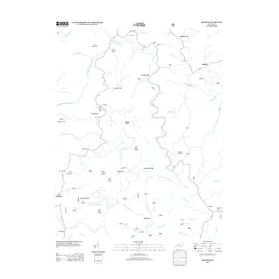 2013 Leighton2013 Print · USGSJackson County hill country is seen here in the early twenty-first century, centered on the rugged drainage of Station Camp Creek. Genealogists can locate family landmarks like Marcum Cem and Lynch Town, or trace the path to Drip Rock Lookout Tower.
 - 2013 Map of Sturgeon, 2013 Print
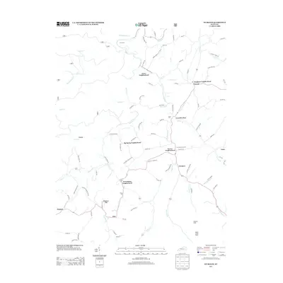 2013 Sturgeon2013 Print · USGSJackson County rural life in the early 2010s is captured here, centered on the winding Sturgeon Cr and its many neighborhood clusters. Genealogists and local historians can trace family roots through the Botner Cem or locate community hubs like Travellers Rest and Green Hall.
 - 2013 Map of Johnetta, 2013 Print
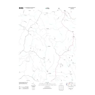 2013 Johnetta2013 Print · USGSRockcastle County upland communities are documented here in the early twenty-first century, showing a landscape defined by creeks and ridge-top roads. Researchers can trace family history through named routes like Charlie Baker Rd and locate local landmarks such as Rose's Mill or the New Hope Lookout Tower.
 - 2013 Map of Livingston, 2013 Print
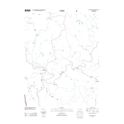 2013 Livingston2013 Print · USGSThe Rockcastle River valley and its surrounding hollows come into focus in this early twenty-first-century survey. Genealogists and local historians can trace the geography of settlements like Livingston, Sinks, and Symbol, or find landmarks like the Sand Hill Lookout Tower.
 - 2013 Map of Bighill, 2013 Print
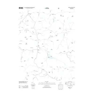 2013 Bighill2013 Print · USGSBerea and the knobs of Madison and Rockcastle counties are shown here in the early twenty-first century as the landscape transitioned toward modern recreation. Trace local landmarks like the Indian Fort Theatre, the waters of Owsley Fork Reservoir, and settlements at Bighill and Dreyfus.
 - 2013 Map of Alcorn, 2013 Print
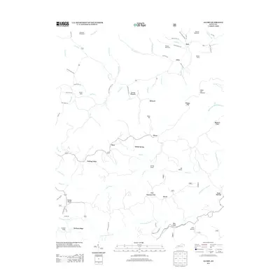 2013 Alcorn2013 Print · USGSJackson County at the start of the 2010s reveals a landscape of ridge-top settlements and winding creek-side hollows. Genealogists and local historians can trace family-named sites like Kerby Knob, Powells Mill, and the small community of Chestnut Flat.
 - 2013 Map of Parrot, 2013 Print
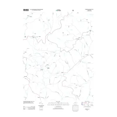 2013 Parrot2013 Print · USGSJackson County is shown in detail during the early twenty-first century, featuring the rural highlands around the Middle Fork Rockcastle River. Genealogists and local historians can locate family landmarks like Thomas Mill, Seven Pines, and the community of Victory.
 - 2013 Map of Sandgap, 2013 Print
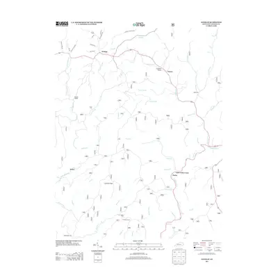 2013 Sandgap2013 Print · USGSJackson County's rugged ridge and valley settlements are captured here in the early twenty-first century. Genealogists and historians can trace family-named landmarks like Williams Hollow Rd and the S Tree Lookout Tower near Sandgap and Waneta.
 - 2016 Map of Alcorn, 2016 Print
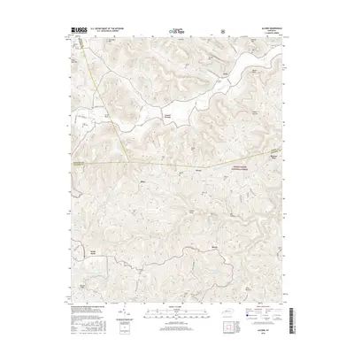 2016 Alcorn2016 Print · USGSThe upland ridges and creek bottoms of Jackson and Estill Counties are captured here in the mid-2010s. Researchers can locate family landmarks like Skinner Cem and Garrett Cem or trace the early paths through Sinking Valley and Blanton Flats.
 - 2016 Map of Sandgap, 2016 Print
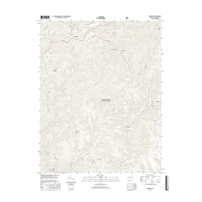 2016 Sandgap2016 Print · USGSJackson County and the eastern Kentucky forestlands are captured here in the mid-2010s. Genealogists and hikers can trace the Sheltowee Trace NRT through the Daniel Boone National Forest and locate the Carpenter Cem.
 - 2016 Map of Bighill, 2016 Print
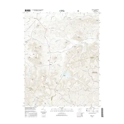 2016 Bighill2016 Print · USGSBerea and the surrounding knobs of Madison and Jackson counties are shown here as they appeared in the mid-2010s. Researchers can locate family landmarks such as Cox Cem, trace the waters of Owsley Fork Reservoir, and explore the high ground of Indian Ft Mtn.
Showing maps 1-25 of 55
Top cities of Jackson County
Frequently asked questions
- What are the different types of historical maps available for Jackson County?
- What is the oldest map of Jackson County?
- Where can I purchase historical maps of Jackson County for my home or office?
- Where can I download high-res historical maps of Jackson County?
- Are there historical topographic maps available for Jackson County?
- Is there historical aerial imagery available for Jackson County?
- Where are historical maps of Jackson County sourced from?