2000s (21st Century) Maps of Louisville, Kentucky
Explore 80 historic maps of Louisville from the 2000s (21st Century). These maps offer a rare glimpse into what life looked like during the 2000s — showing old roads, neighborhoods, homes, and landmarks that have changed or disappeared over time.
Whether you're researching your family's past, planning a metal detecting trip, or studying how Louisville's landscape evolved across the 2000s, these high-resolution maps are a powerful tool for exploring the history of this region.
- Focus on a specific era: All maps on this page are from the 2000s, giving you a focused view of this time period.
- See what’s changed: Compare century-old streets, trails, and buildings to today's modern landscape using overlays and satellite layers.
- Research with precision: Use these maps for genealogy, historical research, land use analysis, or educational projects.
- View, download, or print: Maps are fully viewable online in high resolution, and can be downloaded or printed for your own records.
Start exploring Louisville's history through authentic maps from the 2000s. This is your window into the past.
Louisville, KY maps
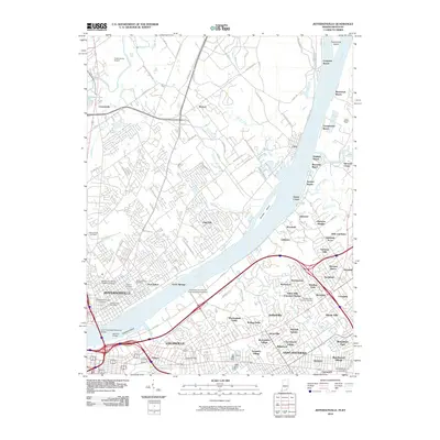
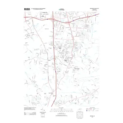
(80)- 2010 Map of Waterford, 2010 Print
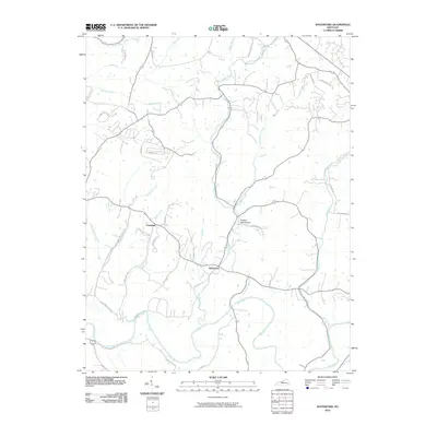 2010 Waterford2010 Print · USGSCovers Louisville, including Mount Washington, Whitfield, and other nearby areas
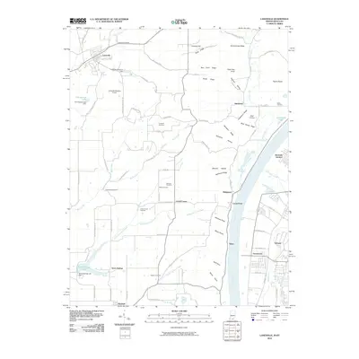
 - 2010 Map of Crestwood, 2010 Print
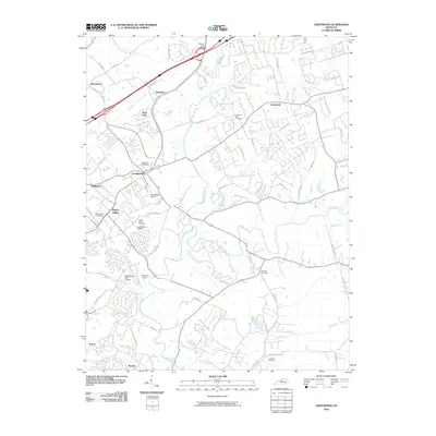 2010 Crestwood2010 Print · USGSCovers Louisville, including Middletown, La Grange, and other nearby areas
 - 2010 Map of Valley Station, 2010 Print
 2010 Valley Station2010 Print · USGSCovers Louisville, including Shepherdsville, Hollyvilla, and other nearby areas
 - 2010 Map of Mount Washington, 2010 Print
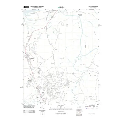
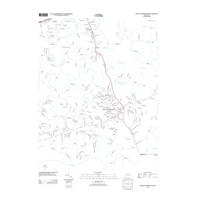
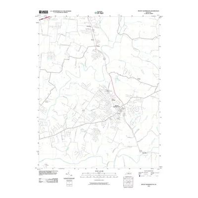 2010 Mount Washington2010 Print · USGSCovers Louisville, including Mount Washington, Thixton, and other nearby areas
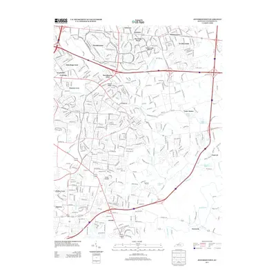
 - 2010 Map of Anchorage, 2010 Print
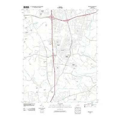
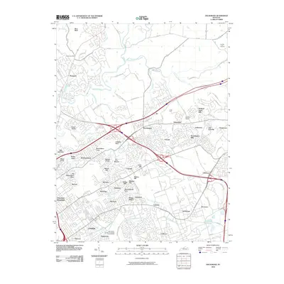 2010 Anchorage2010 Print · USGSCovers Louisville, including Lyndon, Middletown, and other nearby areas
 - 2010 Map of Fisherville, 2010 Print
 2010 Fisherville2010 Print · USGSCovers Louisville, including Middletown, Wilsonville, and other nearby areas
 - 2010 Map of Louisville East, 2010 Print
 2010 Louisville East2010 Print · USGSCovers Louisville, including Audubon Park, West Buechel, and other nearby areas
 - 2010 Map of Jeffersontown, 2010 Print
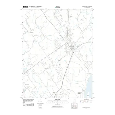
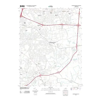 2010 Jeffersontown2010 Print · USGSCovers Louisville, including Jeffersontown, Lyndon, and other nearby areas
 - 2010 Map of Brooks, 2010 Print
 2010 Brooks2010 Print · USGSCovers Louisville, including Shepherdsville, Hillview, and other nearby areas
 - 2010 Map of Charlestown, 2010 Print
 2010 Charlestown2010 Print · USGSCovers Louisville, including Jeffersonville, Charlestown, and other nearby areas
 - 2010 Map of New Albany, 2010 Print
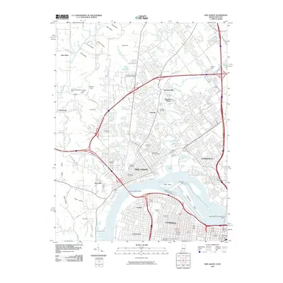 2010 New Albany2010 Print · USGSCovers Louisville, including Jeffersonville, New Albany, and other nearby areas
 - 2010 Map of Jeffersonville, 2010 Print
 2010 Jeffersonville2010 Print · USGSCovers Louisville, including Jeffersonville, Clarksville, and other nearby areas
 - 2010 Map of Fort Knox, 2010 Print
 2010 Fort Knox2010 Print · USGSCovers Louisville, including Radcliff, Chestnut Glen, and other nearby areas
 - 2010 Map of Lanesville, 2010 Print
 2010 Lanesville2010 Print · USGSCovers Louisville, including Lanesville, Elizabeth, and other nearby areas
 - 2010 Map of Louisville West, 2010 Print
 2010 Louisville West2010 Print · USGSCovers Louisville, including Shively, Kenwood, and other nearby areas
 - 2011 Map of Kosmosdale, 2011 Print
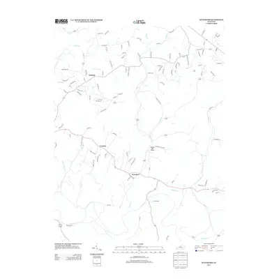
 2011 Kosmosdale2011 Print · USGSCovers Louisville, including Elizabeth, Macedonia, and other nearby areas
 - 2013 Map of Mount Washington, 2013 Print
 2013 Mount Washington2013 Print · USGSCovers Louisville, including Mount Washington, Thixton, and other nearby areas
 - 2013 Map of Valley Station, 2013 Print
 2013 Valley Station2013 Print · USGSCovers Louisville, including Shepherdsville, Hollyvilla, and other nearby areas
 - 2013 Map of Brooks, 2013 Print
 2013 Brooks2013 Print · USGSCovers Louisville, including Shepherdsville, Hillview, and other nearby areas
 - 2013 Map of Louisville East, 2013 Print
 2013 Louisville East2013 Print · USGSCovers Louisville, including Audubon Park, West Buechel, and other nearby areas
 - 2013 Map of Fisherville, 2013 Print
 2013 Fisherville2013 Print · USGSCovers Louisville, including Middletown, Wilsonville, and other nearby areas
 - 2013 Map of Jeffersontown, 2013 Print
 2013 Jeffersontown2013 Print · USGSCovers Louisville, including Jeffersontown, Lyndon, and other nearby areas
 - 2013 Map of Waterford, 2013 Print
 2013 Waterford2013 Print · USGSCovers Louisville, including Mount Washington, Whitfield, and other nearby areas
 - 2013 Map of Kosmosdale, 2013 Print
 2013 Kosmosdale2013 Print · USGSCovers Louisville, including Elizabeth, Macedonia, and other nearby areas
 - 2013 Map of Crestwood, 2013 Print
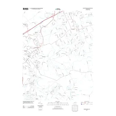 2013 Crestwood2013 Print · USGSCovers Louisville, including Middletown, La Grange, and other nearby areas
Showing maps 1-25 of 80
Top cities near Louisville
- Jeffersonville historical maps
- New Albany historical maps
- Jeffersontown historical maps
- Clarksville historical maps
- Shively historical maps
- Mount Washington historical maps
See more
Top neighborhoods of Louisville
- Beechland Beach historical maps
- Glenview Heights historical maps
- Juniper Beach historical maps
- Gulthrie Beach historical maps
- Harrods Creek historical maps
- Riverside Beach historical maps
See more
Frequently asked questions
- What are the different types of historical maps available for Louisville?
- What is the oldest map of Louisville?
- Where can I purchase historical maps of Louisville for my home or office?
- Where can I download high-res historical maps of Louisville?
- Are there historical topographic maps available for Louisville?
- Is there historical aerial imagery available for Louisville?
- Where are historical maps of Louisville sourced from?