Old Maps of Blue Grass, Kentucky for Academic Research
Study the evolution of Blue Grass with 13 high-resolution historic maps. Whether you're teaching, researching, or modeling changes in land use, these maps provide essential visual documentation of urban, environmental, and geographic change.
- Analyze long-term change: Track patterns in development, transportation, and natural features.
- Ideal for environmental or urban studies: Support academic projects with primary historical map data.
- Use in the classroom or lab: Educators and researchers rely on these maps to bring historical context to life.
These maps are a powerful tool for teaching, research, and visualizing how Blue Grass has changed over the decades.
Blue Grass, KY maps
(13)- 1892 Map of Richmond
 1892 Richmond1892 Print · USGSMadison and Clark counties are mapped here in the late nineteenth century, centered on the growing railroad hub of Richmond. Genealogists can trace family land and travel routes through historic crossings like Boonesboro, river towns like Ford, and high points such as Combs Mtn.
 - 1897 Map of Richmond
 1897 Richmond1897 Print · USGSMadison and Clark counties are mapped here during a decade of rapid railroad expansion and river-based commerce. Genealogists can trace family names and extinct locales from Boonesboro to the industrial Stone Quarry and the hub at Winchester.5 unique versions available
 - 1952 Map of Richmond North, 1954 Print
 1952 Richmond North1954 Print · USGSMadison County at the start of the 1950s shows the winding Kentucky River and the rural communities surrounding Richmond. Genealogists and historians can trace old property lines near Boonesboro, find Mt Pleasant Ch, or follow the Louisville and Nashville rail line.
 - 1957 Map of Winchester, 1968 Print
 1957 Winchester1968 Print · USGSCentral Kentucky's landscape in the mid-twentieth century features the sprawling Fort Knox and the early parkway system. Genealogists and historians can trace rail lines like the Southern Railway and find landmarks from Bernheim Forest to Pilot Knob.3 unique versions available
 - 1960 Map of Winchester
 1960 Winchester1960 Print · USGSCentral Kentucky's diverse landscape is shown here at mid-century, from the bluegrass plains to the rugged Pottsville Escarpment. Genealogists and historians can trace the rail-and-river network connecting towns like Bardstown and Stanford alongside landmarks like Lake Cumberland.
 - 1965 Map of Richmond North, 1966 Print
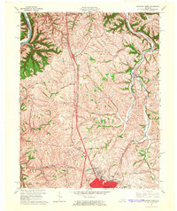 1965 Richmond North1966 Print · USGSMadison County during the mid-sixties shows a landscape of established farmsteads and growing suburban fringes north of the county seat. Genealogists and local historians can trace family land near White Hall, Mt Nebo Ch, and the Daniel Boone Sch.3 unique versions available
 - 1986 Map of Harrodsburg
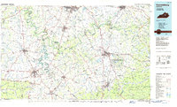 1986 Harrodsburg1986 Print · USGSCentral Kentucky in the mid-eighties reveals a landscape defined by the winding Kentucky River and the bustling county seats of the Bluegrass. Genealogists and historians can trace the evolution of Harrodsburg, Danville, and Nicholasville alongside the Lexington Blue Grass Army Depot.
 - 1991 Map of Harrodsburg
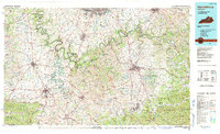 1991 Harrodsburg1991 Print · USGSThe heart of the Bluegrass region comes alive in the late twentieth century, showing the deep river gorges and limestone uplands of central Kentucky. Genealogists and local historians can locate Shakertown, the sprawling Lexington Blue Grass Army Depot, and Berea College.
 - 2010 Map of Richmond North, 2010 Print
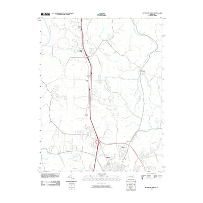 2010 Richmond North2010 Print · USGSMadison and Fayette counties north of Richmond show a landscape where historic pioneer paths meet modern growth. Genealogists and historians can trace routes like the Old Daniel Boone Rd and Old Wilderness Trl near settlements at White Hall and Redhouse.
 - 2013 Map of Richmond North, 2013 Print
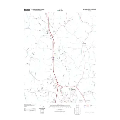 2013 Richmond North2013 Print · USGSMadison County at the start of the 2010s shows a landscape of modern residential growth alongside historic landmarks like the White Hall State Shrine. Researchers can trace old watercourses like Irvine Lick and locate settlements such as Redhouse and Blue Grass.
 - 2016 Map of Richmond North, 2016 Print
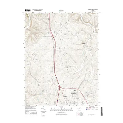 2016 Richmond North2016 Print · USGSMadison and Fayette counties meet along the Kentucky River in this mid-2010s survey of the Bluegrass region. Local historians can trace the northern expansion of RICHMOND into Arlington or find family landmarks like Jerry Clay Hill and Redhouse.
 - 2019 Map of Richmond North, 2019 Print
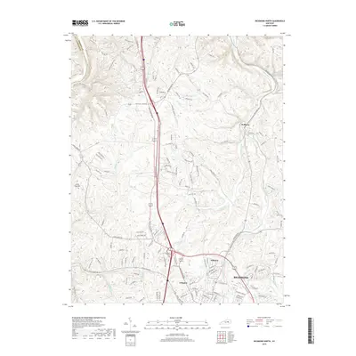 2019 Richmond North2019 Print · USGSMadison County and the northern edges of Richmond are captured here in the late 2010s as suburban development meets the historic Bluegrass farmland. Genealogists and local researchers can trace the neighborhoods of Hillcrest and Arlington or locate family landmarks like Jerry Clay Hill and Redhouse.
 - 2022 Map of Richmond North, 2022 Print
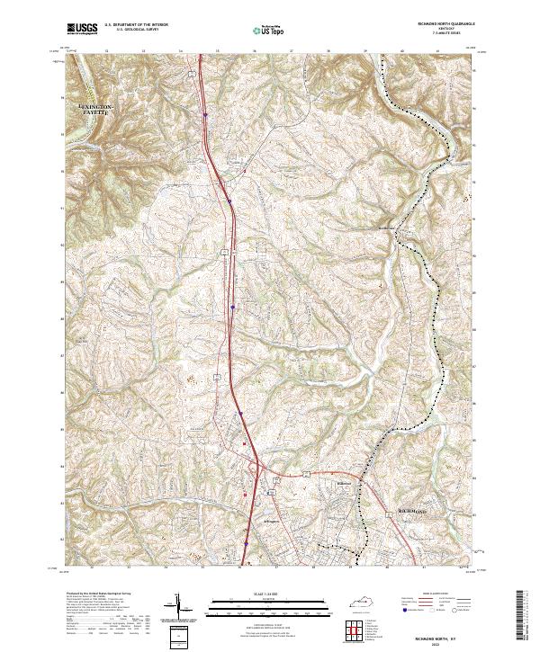 2022 Richmond North2022 Print · USGSMadison County's northern landscape transitions from the growing city of Richmond to the river bluffs during the early 2020s. Researchers can trace the modern development around Hillerest or explore the rural valley networks near Redhouse and the Kentucky River.
End of results
Showing maps 1-13 of 13
Top cities near Blue Grass
- Lexington historical maps
- Richmond historical maps
- Nicholasville historical maps
- Winchester historical maps
- Berea historical maps
Frequently asked questions
- What are the different types of historical maps available for Blue Grass?
- What is the oldest map of Blue Grass?
- Where can I purchase historical maps of Blue Grass for my home or office?
- Where can I download high-res historical maps of Blue Grass?
- Are there historical topographic maps available for Blue Grass?
- Is there historical aerial imagery available for Blue Grass?
- Where are historical maps of Blue Grass sourced from?