2020s Maps of Marshall County, Kentucky
Explore 13 historic maps of Marshall County from the 2020s. These maps offer a rare glimpse into what life looked like during the 2020s — showing old roads, neighborhoods, homes, and landmarks that have changed or disappeared over time.
Whether you're researching your family's past, planning a metal detecting trip, or studying how Marshall County's landscape evolved across the 2020s, these high-resolution maps are a powerful tool for exploring the history of this region.
- Focus on a specific era: All maps on this page are from the 2020s, giving you a focused view of this time period.
- See what’s changed: Compare century-old streets, trails, and buildings to today's modern landscape using overlays and satellite layers.
- Research with precision: Use these maps for genealogy, historical research, land use analysis, or educational projects.
- View, download, or print: Maps are fully viewable online in high resolution, and can be downloaded or printed for your own records.
Start exploring Marshall County's history through authentic maps from the 2020s. This is your window into the past.
Marshall County, KY maps
(13)- 2022 Map of Kirksey, 2022 Print
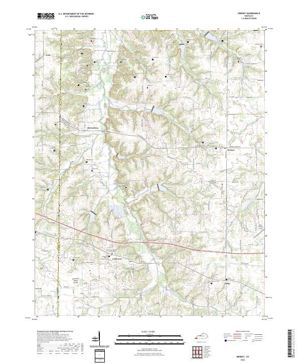 2022 Kirksey2022 Print · USGSWestern Kentucky's agricultural heartland and the Tennessee Valley Divide are documented here in the early twenty-first century. Genealogists and local historians can locate dozens of family burial sites, from Yandell Cem to the Stella Goshen Cem near Stella.
 - 2022 Map of Oak Level, 2022 Print
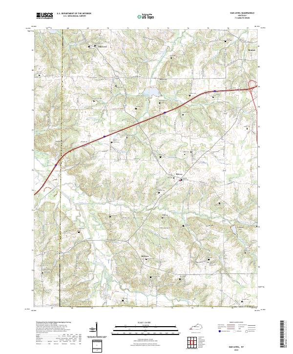 2022 Oak Level2022 Print · USGSWestern Kentucky's rural landscape comes alive in this survey of the communities near the West Fork Clarks River. Researchers can trace family sites across a dense network of country cemeteries and churches, including Oak Level Cem and Vanzora Baptist Church Cem.
 - 2022 Map of Dexter, 2022 Print
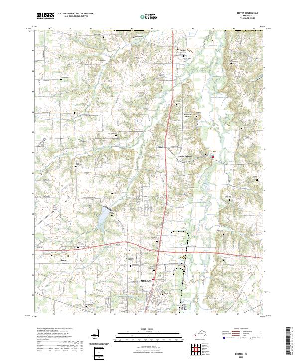 2022 Dexter2022 Print · USGSCalloway County agriculture and community life are well-established in this recent survey of the Clarks River valley. Genealogists can trace family roots through numerous sites like County Poor Farm Cem, Trevathan Cem Number 2, and the settlement of Wadesboro.
 - 2022 Map of Calvert City, 2022 Print
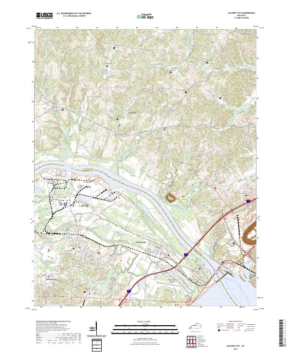 2022 Calvert City2022 Print · USGSModern-day Marshall County comes into focus as it straddles the Tennessee River and the shores of Kentucky Lake. Researchers can trace family history through dozens of rural burial sites like Corinth Church Cem, Miller Cem, and Chappell Cem.
 - 2022 Map of Rushing Bay, 2022 Print
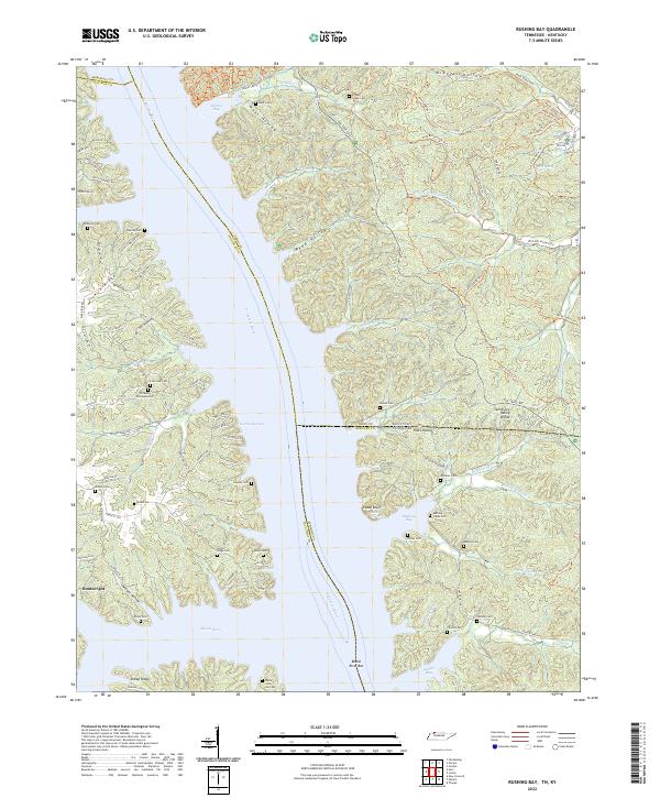 2022 Rushing Bay2022 Print · USGSThe Tennessee and Kentucky borderlands along Kentucky Lake are shown here in modern detail. Genealogists can trace family sites like Hooper Cemetery and Banner Cemetery alongside historical landmarks like Cedar Bluff and Blood River Bar.
 - 2022 Map of Fairdealing, 2022 Print
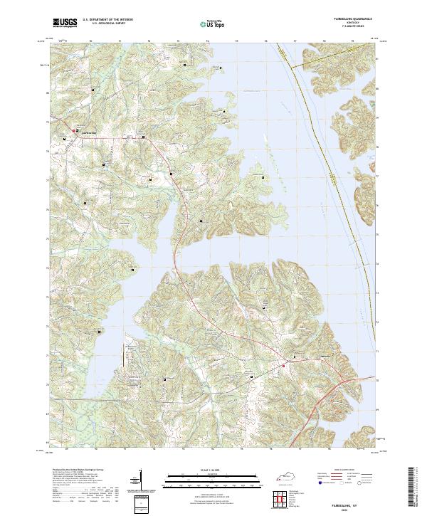 2022 Fairdealing2022 Print · USGSIn the early twenty-first century, the shoreline of Kentucky Lake reveals a landscape of quiet peninsulas and sheltered bays. Researchers can trace decades of local heritage through landmarks like Pirates Cove Airport and numerous family burial sites such as Maple Spring Cem and Fairdealing Cem.
 - 2022 Map of Fenton, 2022 Print
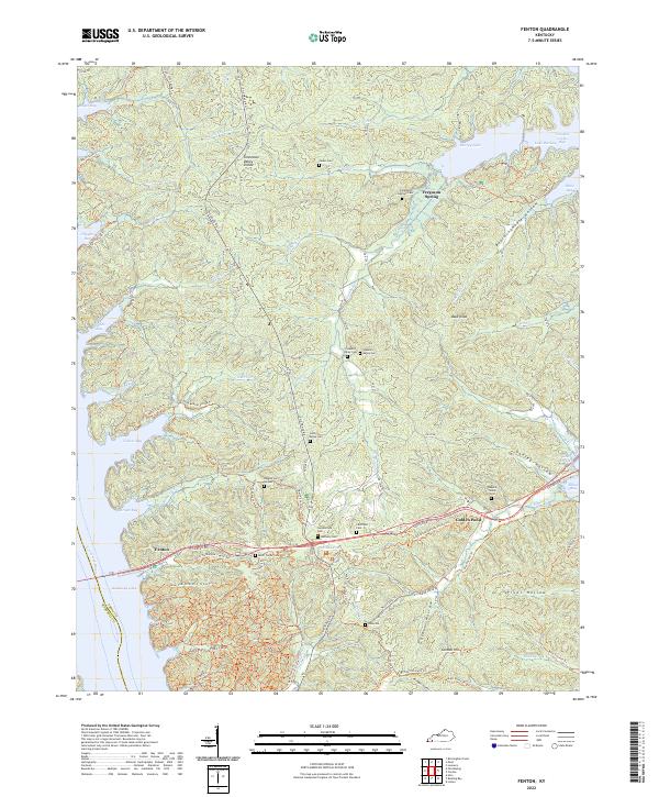 2022 Fenton2022 Print · USGSThe peninsula between the Tennessee and Cumberland rivers is shown here in the 2020s, highlighting its complex shoreline and cemeteries. Genealogists can trace family burial sites like Cumberland Cem and Jeritny Ridge Cem near Golden Pond.
 - 2022 Map of Birmingham Point, 2022 Print
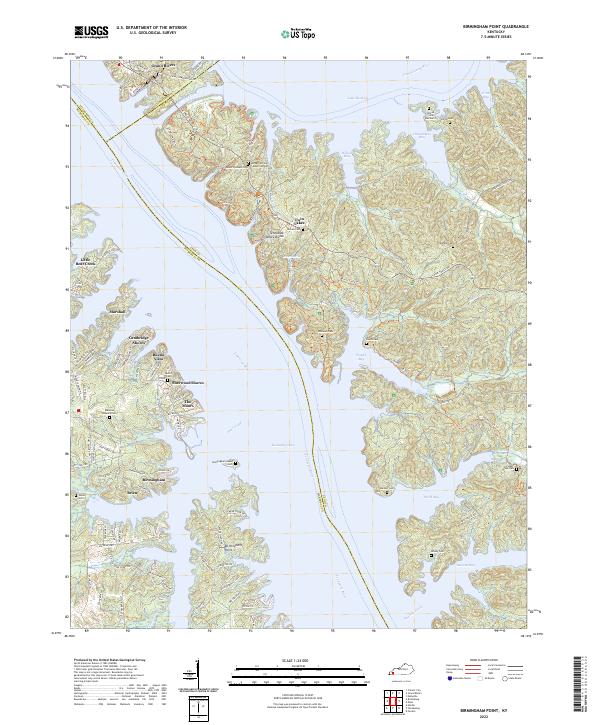 2022 Birmingham Point2022 Print · USGSThe Land Between the Lakes region in the early 2020s shows a landscape shaped by massive water projects and residential growth. Genealogists can locate several family cemeteries like Nickell Cem and Newby Cem tucked away near Nickell Cove and Duncan Bay.
 - 2022 Map of Elva, 2022 Print
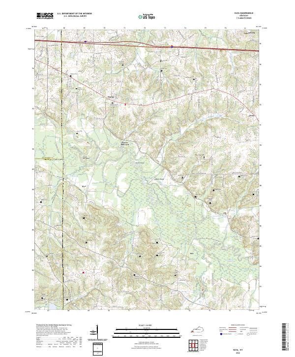 2022 Elva2022 Print · USGSMarshall County's riparian landscape is documented here in the early twenty-first century, centered on the wetlands of the Clarks River. Genealogists and local historians can locate numerous family burial sites like Oakland Cem and Armstrong - Maple Hill Cem alongside landmarks such as Harris Hill Ford.
 - 2022 Map of Hardin, 2022 Print
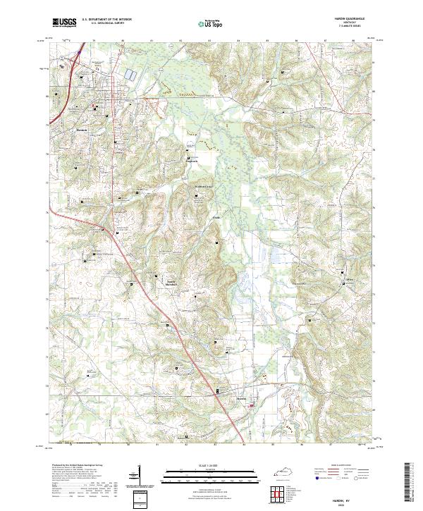 2022 Hardin2022 Print · USGSIn the 2020s, Marshall County retains its intricate web of family-named cemeteries and small rural settlements. Genealogists can trace family lines through landmarks like Bennie Starks Cem, Jackson-Starks Cem, and the community of South Marshall.
 - 2022 Map of Hico, 2022 Print
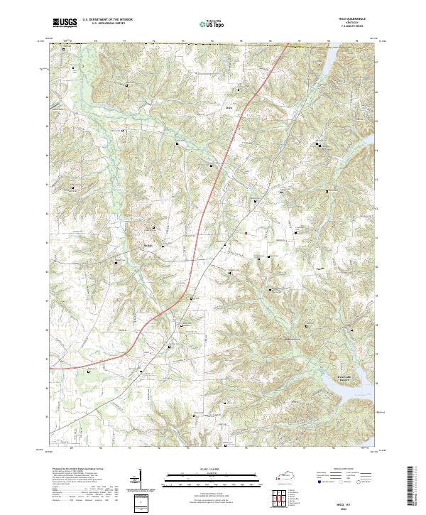 2022 Hico2022 Print · USGSCalloway County, Kentucky, near the shores of the Tennessee River, maintains its rural character in this recent survey. Genealogists can trace family landmarks and burial sites like Shiloh Cem, Scott Family Cem, and the historic community of Faxon.
 - 2022 Map of Briensburg, 2022 Print
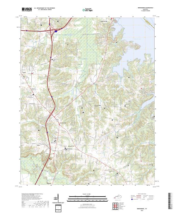 2022 Briensburg2022 Print · USGSMarshall County's lakefront and rural interior are captured here in the early twenty-first century, showing the intersection of major interstates and historic settlements. Genealogists can locate numerous community landmarks like Birmingham Cem, Bethel Cem, and the village of Tatumsville.
 - 2022 Map of Little Cypress, 2022 Print
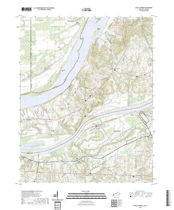 2022 Little Cypress2022 Print · USGSThe confluence of the Ohio and Tennessee rivers in Western Kentucky is captured here in the early 2020s. Researchers can trace family history through numerous rural sites like Little Cypress Cem, Possum Trot, and the Kincaid Mounds.
End of results
Showing maps 1-13 of 13
Top cities of Marshall County
Frequently asked questions
- What are the different types of historical maps available for Marshall County?
- What is the oldest map of Marshall County?
- Where can I purchase historical maps of Marshall County for my home or office?
- Where can I download high-res historical maps of Marshall County?
- Are there historical topographic maps available for Marshall County?
- Is there historical aerial imagery available for Marshall County?
- Where are historical maps of Marshall County sourced from?