2010s Maps of Marshall County, Kentucky
Explore 52 historic maps of Marshall County from the 2010s. These maps offer a rare glimpse into what life looked like during the 2010s — showing old roads, neighborhoods, homes, and landmarks that have changed or disappeared over time.
Whether you're researching your family's past, planning a metal detecting trip, or studying how Marshall County's landscape evolved across the 2010s, these high-resolution maps are a powerful tool for exploring the history of this region.
- Focus on a specific era: All maps on this page are from the 2010s, giving you a focused view of this time period.
- See what’s changed: Compare century-old streets, trails, and buildings to today's modern landscape using overlays and satellite layers.
- Research with precision: Use these maps for genealogy, historical research, land use analysis, or educational projects.
- View, download, or print: Maps are fully viewable online in high resolution, and can be downloaded or printed for your own records.
Start exploring Marshall County's history through authentic maps from the 2010s. This is your window into the past.
Marshall County, KY maps
(52)- 2010 Map of Little Cypress, 2010 Print
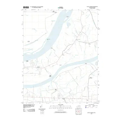 2010 Little Cypress2010 Print · USGSWestern Kentucky near the meeting of the Ohio and Tennessee Rivers comes into focus here in the early twenty-first century. Genealogists and local historians can trace family ties at Possum Trot, Crowell Landing, and Leeper Cemetery.
 - 2010 Map of Briensburg, 2010 Print
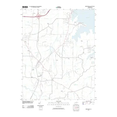 2010 Briensburg2010 Print · USGSKentucky Lake and its surrounding cabin communities come into focus in this Marshall County survey from 2010. Researchers can trace numerous local lineages through family burial sites like Wilson Cemetery and Hartsfield Cemetery or explore the settlement at Scale.
 - 2010 Map of Oak Level, 2010 Print
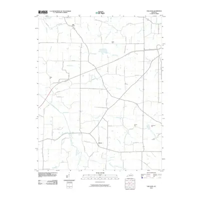 2010 Oak Level2010 Print · USGSWestern Kentucky's rural landscape is captured here in the early twenty-first century as modern highways intersect old community hubs. Researchers can locate family landmarks like Styers Cemetery and Gore Cemetery, or trace the winding course of the West Fork Clarks River past Oak Level.
 - 2010 Map of Dexter, 2010 Print
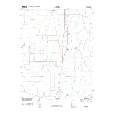 2010 Dexter2010 Print · USGSCalloway County at the start of the 2010s shows a landscape of river-bottom farms and small crossroads settlements. Genealogists and local historians can trace family roots through sites like Bethel Cemetery, Dexter, and the rural community of Wadesboro.
 - 2010 Map of Hardin, 2010 Print
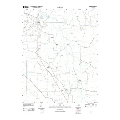 2010 Hardin2010 Print · USGSCentral Marshall County is captured in the early twenty-first century as the Purchase Pkwy bypasses established settlements. Researchers can trace family history through several rural burial grounds, including Wadesboro Cemetery and Haymes Cemetery, or locate the historic center of Hardin.
 - 2010 Map of Calvert City, 2010 Print
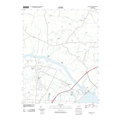 2010 Calvert City2010 Print · USGSThe Tennessee River corridor in Marshall County was reaching a modern peak in the early twenty-first century, dominated by the massive Kentucky Dam. Researchers can trace local heritage through numerous family burial grounds like Wells Cemetery and Ramage Cemetery, or locate historic river crossings like Haddox Ferry.
 - 2010 Map of Elva, 2010 Print
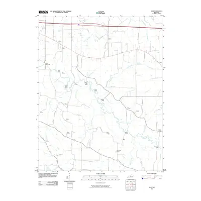 2010 Elva2010 Print · USGSMarshall County's rural landscape is mapped here as it appeared in the early twenty-first century, centered on the winding Clarks River. Genealogists and local historians can trace family roots through numerous sites like Wallace Cemetery, Barker Cemetery, and the old settlement at Elva.
 - 2010 Map of Kirksey, 2010 Print
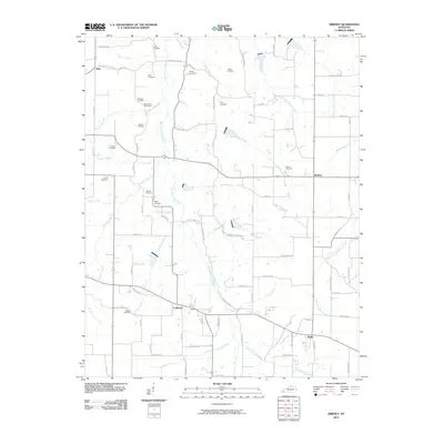 2010 Kirksey2010 Print · USGSAgricultural life in Calloway County at the start of the 2010s centered on quiet crossroads and family land. Genealogists can trace deep local roots across numerous sites like Asbury Cemetery, Bazzell Cemetery, and the settlement of Coldwater.
 - 2010 Map of Hico, 2010 Print
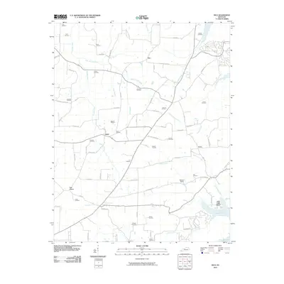 2010 Hico2010 Print · USGSCalloway County farmland meets the waters of the Tennessee River in this 2010 survey of the western Kentucky countryside. Genealogists and historians can trace numerous family burial sites like Sage Hill Cemetery or visit lakefront landmarks such as Irvin Cobb Resort.
 - 2010 Map of Birmingham Point, 2010 Print
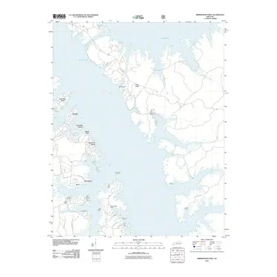 2010 Birmingham Point2010 Print · USGSThe Land Between the Lakes region is shown here in the early twenty-first century as a hub for recreation and lakeside living. Researchers can trace the legacy of displaced communities through the Birmingham Cemetery and the shoreline of Kentucky Lake.
 - 2010 Map of Fenton, 2010 Print
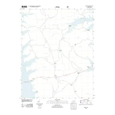 2010 Fenton2010 Print · USGSWestern Kentucky’s peninsula between the lakes is captured here in the early twenty-first century. Researchers can trace landforms and local heritage sites like Jenny Ridge Cemetery, the Eggner Ferry Bridge, and the community of Golden Pond.
 - 2011 Map of Fairdealing, 2011 Print
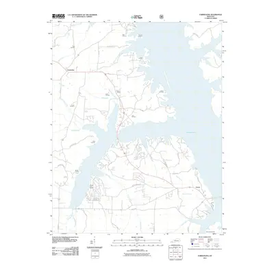 2011 Fairdealing2011 Print · USGSKentucky Lake dominates this Marshall County landscape in the early 2010s, where small settlements meet the waterfront. Genealogists can trace numerous family burial sites like Page Cemetery and Hiatt Cemetery alongside the waters of Clear Creek.
 - 2011 Map of Rushing Bay, 2011 Print
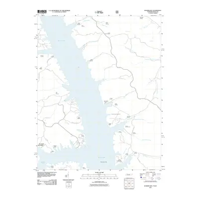 2011 Rushing Bay2011 Print · USGSKentucky Lake's intricate shoreline and the surrounding ridges of Calloway County are captured here in the early twenty-first century. Researchers can trace dozens of family burial sites and old landmarks like Boatwright, Rushing Creek Cemetery, and Blood River Bar.
 - 2013 Map of Elva, 2013 Print
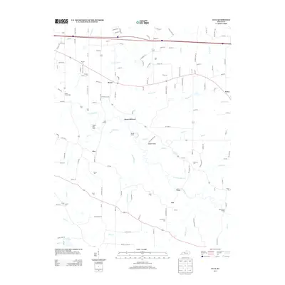 2013 Elva2013 Print · USGSIn the early twenty-first century, this Marshall County landscape remains defined by its winding waterways and rural crossroads. Genealogists can trace family legacies at Dishman Cem or Armstrong Cem, while historians can locate old river crossings like Harris Hill Ford.
 - 2013 Map of Hardin, 2013 Print
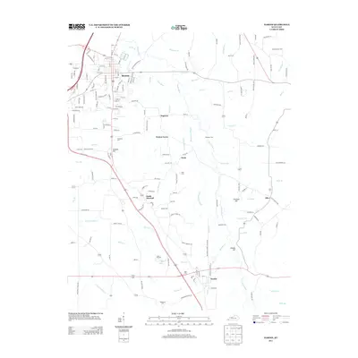 2013 Hardin2013 Print · USGSBenton and the surrounding Marshall County lowlands are captured here during a period of modern growth and rural continuity. Researchers can locate numerous family burial sites like Dunn Cemetery and Cope Cemetery or trace the winding course of the Clarks River.
 - 2013 Map of Dexter, 2013 Print
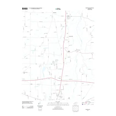 2013 Dexter2013 Print · USGSCalloway County is captured here just over a decade ago, showcasing its network of small communities and rural drainage. Genealogists and local historians can trace the vicinity of Dexter, Almo, and Penny, or locate family sites near Stewart Cem and Bethel Cem.
 - 2013 Map of Briensburg, 2013 Print
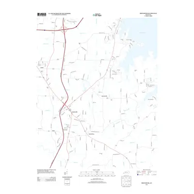 2013 Briensburg2013 Print · USGSMarshall County settlement and recreation meet in this study of Briensburg and Draffenville during the early 2010s. Researchers can locate numerous local burial grounds like McNatt Cem and trace the winding course of Cypress Creek to the lake.
 - 2013 Map of Hico, 2013 Print
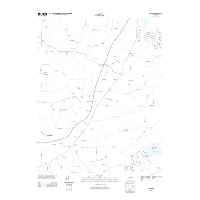 2013 Hico2013 Print · USGSCalloway County at the start of the 2010s shows a landscape of deep-rooted family history and modern lakeside recreation. Genealogists can trace decades of local heritage through numerous burial sites like Shiloh Cem and Barnett Cem near Hico.
 - 2013 Map of Birmingham Point, 2013 Print
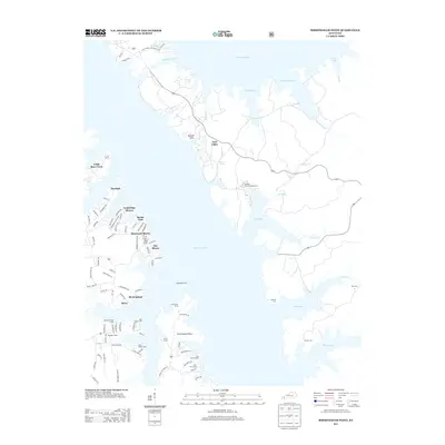 2013 Birmingham Point2013 Print · USGSThe Land Between the Lakes comes into focus in this modern era, showing the developed western shoreline and the protected eastern woods. Genealogists can locate several waterfront burial sites like Birmingham Cem and Newby Cem near the Barkley Canal.
 - 2013 Map of Oak Level, 2013 Print
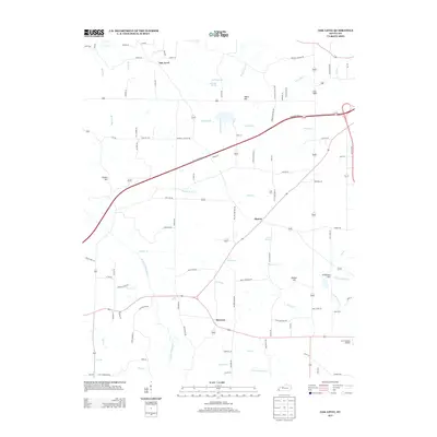 2013 Oak Level2013 Print · USGSMarshall County’s rural character is on display in this early 21st-century study of the land near the West Fork Clarks River. Researchers can locate family landmarks and community centers such as Oak Level, Brewers, and the J & C Antique Airfield.
 - 2013 Map of Kirksey, 2013 Print
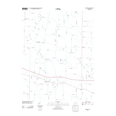 2013 Kirksey2013 Print · USGSCalloway County at the start of the 2010s reveals a quiet landscape of rural crossroads and family homesteads. Genealogists can trace deep roots through numerous burial sites like Mt Zion Cem and Boyd Cem while exploring the hamlets of Coldwater and Backusburg.
 - 2013 Map of Fenton, 2013 Print
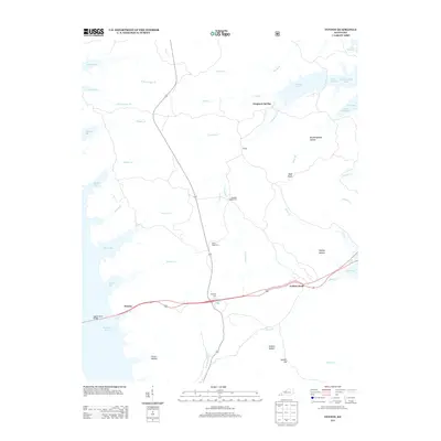 2013 Fenton2013 Print · USGSThe peninsula between the great western Kentucky reservoirs is captured here in the early twenty-first century. Genealogists and local historians can trace legacy sites like Jenny Ridge Cem and Matheny Cem or locate the old landing at Fenton near the Eggner Ferry Bridge.
 - 2013 Map of Fairdealing, 2013 Print
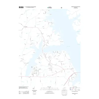 2013 Fairdealing2013 Print · USGSThe western shores of Kentucky Lake are captured here in the early twenty-first century, showing the developed waterfronts near Fairdealing. Genealogists can trace family landmarks like Price Cem, McLoad Cem, and the Pirates Cove Airport.
 - 2013 Map of Little Cypress, 2013 Print
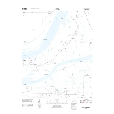 2013 Little Cypress2013 Print · USGSMarshall County at the start of the 2010s reveals a complex network of river landings and small settlements where the Tennessee meets the Ohio. Genealogists and historians can trace family-named sites like Possum Trot, New Liberty, and Sand Hill Cem.
 - 2013 Map of Calvert City, 2013 Print
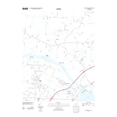 2013 Calvert City2013 Print · USGSCalvert City and the lower Tennessee River are captured in the early twenty-first century as the region manages its industrial and recreational waterfronts. Genealogists can trace family heritage through scattered burial sites like Cothran Cem or Landrum Cem and riverfront markers like Stanley Landing.
Showing maps 1-25 of 52
Top cities of Marshall County
Frequently asked questions
- What are the different types of historical maps available for Marshall County?
- What is the oldest map of Marshall County?
- Where can I purchase historical maps of Marshall County for my home or office?
- Where can I download high-res historical maps of Marshall County?
- Are there historical topographic maps available for Marshall County?
- Is there historical aerial imagery available for Marshall County?
- Where are historical maps of Marshall County sourced from?