Old Maps of McCracken County, Kentucky
Explore 57 old maps of McCracken County, spanning from 1926 to today. These high-resolution historic maps reveal how streets, neighborhoods, landmarks, and natural features evolved over time — perfect for genealogy, metal detecting, research, and local history exploration.
What you can do with these maps:
- See how McCracken County changed over time: Compare historical maps to modern-day views to trace roads, homesites, rail lines & more.
- View detailed metadata: Each map includes creators, publishers, year, scale, and archive source.
- Overlay maps with satellite & LiDAR: Visualize the past alongside modern tools to explore terrain & human change.
- Trusted historical sources: Maps sourced from the USGS, Library of Congress, and other archives.
- Access maps your way: View online, download high-res files, or order prints for personal or research use.
Start exploring old maps of McCracken County to uncover forgotten places, hidden landmarks, and the deep history beneath your feet.
McCracken County, KY maps
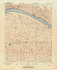
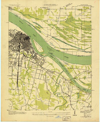
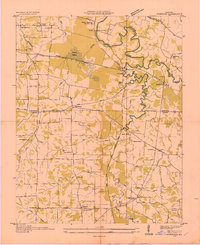
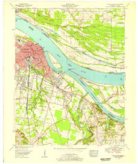
(57)- 1926 Map of Paducah, 1967 Print
 1926 Paducah1967 Print · USGSCovers McCracken County, including Paducah, Metropolis, and other nearby areas
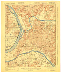
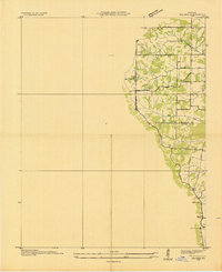
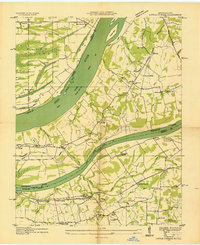
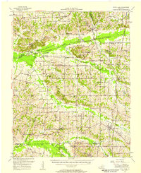
 - 1928 Map of La Center, 1964 Print
 1928 La Center1964 Print · USGSCovers McCracken County, including La Center, Kevil, and other nearby areas
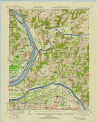
 - 1929 Map of Smithland
 1929 Smithland1929 Print · USGSCovers McCracken County, including Calvert City, Smithland, and other nearby areas3 unique versions available
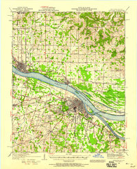
 - 1929 Map of Paducah
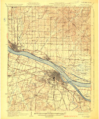 1929 Paducah1929 Print · USGSCovers McCracken County, including Paducah, Metropolis, and other nearby areas4 unique versions available
 - 1932 Map of La Center
 1932 La Center1932 Print · USGSCovers McCracken County, including La Center, Kevil, and other nearby areas
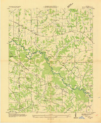
 - 1936 Map of Melber
 1936 Melber1936 Print · USGSCovers McCracken County, including Melber, Folsomdale, and other nearby areas
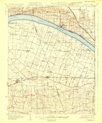
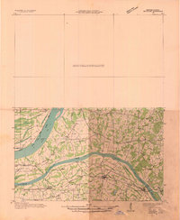
 - 1936 Map of Paducah
 1936 Paducah1936 Print · USGSCovers McCracken County, including Paducah, Reidland, and other nearby areas
 - 1936 Map of Elva
 1936 Elva1936 Print · USGSCovers McCracken County, including Calvert City, Sharpe, and other nearby areas
 - 1936 Map of Smithland
 1936 Smithland1936 Print · USGSCovers McCracken County, including Calvert City, Smithland, and other nearby areas
 - 1936 Map of Symsonia
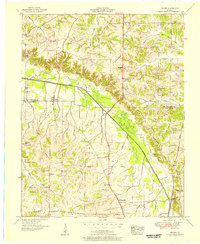
 1936 Symsonia1936 Print · USGSCovers McCracken County, including Kaler, Krebs, and other nearby areas
 - 1936 Map of Benton
 1936 Benton1936 Print · USGSCovers McCracken County, including Benton, Calvert City, and other nearby areas
 - 1936 Map of Little Cypress
 1936 Little Cypress1936 Print · USGSCovers McCracken County, including Calvert City, Ledbetter, and other nearby areas
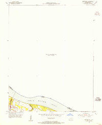
 - 1940 Map of Paducah, 1958 Print
 1940 Paducah1958 Print · USGSCovers McCracken County, including Paducah, Metropolis, and other nearby areas
 - 1942 Map of Smithland, 1957 Print
 1942 Smithland1957 Print · USGSCovers McCracken County, including Calvert City, Smithland, and other nearby areas
 - 1949 Map of Paducah
 1949 Paducah1949 Print · USGSCovers McCracken County, including Cape Girardeau, Paducah, and other nearby areas2 unique versions available
 - 1950 Map of Paducah
 1950 Paducah1950 Print · USGSCovers McCracken County, including Cape Girardeau, Paducah, and other nearby areas
 - 1951 Map of Melber, 1956 Print
 1951 Melber1956 Print · USGSCovers McCracken County, including Melber, Folsomdale, and other nearby areas2 unique versions available
 - 1951 Map of Elva, 1956 Print
 1951 Elva1956 Print · USGSCovers McCracken County, including Calvert City, Sharpe, and other nearby areas2 unique versions available
 - 1951 Map of Symsonia, 1956 Print
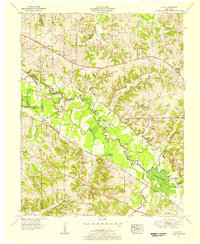
 1951 Symsonia1956 Print · USGSCovers McCracken County, including Kaler, Krebs, and other nearby areas2 unique versions available
 - 1951 Map of Hickory, 1957 Print
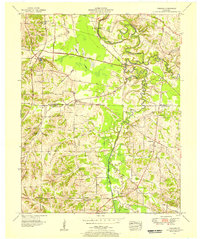
 1951 Hickory1957 Print · USGSCovers McCracken County, including Mayfield, West Viola, and other nearby areas
 - 1952 Map of Fancy Farm, 1958 Print
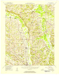
 1952 Fancy Farm1958 Print · USGSCovers McCracken County, including Bardwell, Arlington, and other nearby areas
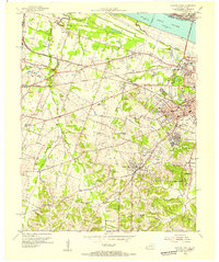
 - 1953 Map of Paducah East, 1956 Print
 1953 Paducah East1956 Print · USGSCovers McCracken County, including Paducah, Reidland, and other nearby areas
 - 1954 Map of Paducah
 1954 Paducah1954 Print · USGSCovers McCracken County, including Cape Girardeau, Paducah, and other nearby areas2 unique versions available
 - 1954 Map of Metropolis, 1955 Print
 1954 Metropolis1955 Print · USGSCovers McCracken County, including Metropolis, Brookport, and other nearby areas
 - 1954 Map of Paducah West, 1955 Print
 1954 Paducah West1955 Print · USGSCovers McCracken County, including Paducah, Brookport, and other nearby areas
Showing maps 1-25 of 57
Top cities of McCracken County
Frequently asked questions
- What are the different types of historical maps available for McCracken County?
- What is the oldest map of McCracken County?
- Where can I purchase historical maps of McCracken County for my home or office?
- Where can I download high-res historical maps of McCracken County?
- Are there historical topographic maps available for McCracken County?
- Is there historical aerial imagery available for McCracken County?
- Where are historical maps of McCracken County sourced from?