2010s Maps of Morgan County, Kentucky
Explore 68 historic maps of Morgan County from the 2010s. These maps offer a rare glimpse into what life looked like during the 2010s — showing old roads, neighborhoods, homes, and landmarks that have changed or disappeared over time.
Whether you're researching your family's past, planning a metal detecting trip, or studying how Morgan County's landscape evolved across the 2010s, these high-resolution maps are a powerful tool for exploring the history of this region.
- Focus on a specific era: All maps on this page are from the 2010s, giving you a focused view of this time period.
- See what’s changed: Compare century-old streets, trails, and buildings to today's modern landscape using overlays and satellite layers.
- Research with precision: Use these maps for genealogy, historical research, land use analysis, or educational projects.
- View, download, or print: Maps are fully viewable online in high resolution, and can be downloaded or printed for your own records.
Start exploring Morgan County's history through authentic maps from the 2010s. This is your window into the past.
Morgan County, KY maps
(68)- 2010 Map of Hazel Green, 2010 Print
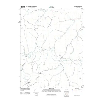 2010 Hazel Green2010 Print · USGSThe Red River valley in Wolfe County is documented here at the start of the 21st century, showing a rural landscape rich in family history. Local researchers can trace family-named sites like Peiratt Cemetery, Flat Rock Ford, and the small settlement of Maytown.
 - 2010 Map of Cannel City, 2010 Print
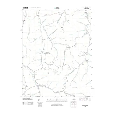 2010 Cannel City2010 Print · USGSThe rural valleys of Wolfe and Morgan counties are captured here in the early twenty-first century, showing a landscape shaped by creek-side settlements. Genealogists can trace family landmarks and burial sites like Ferguson Cemetery, Greear Cemetery, and the Insko Post Office.
 - 2010 Map of Redbush, 2010 Print
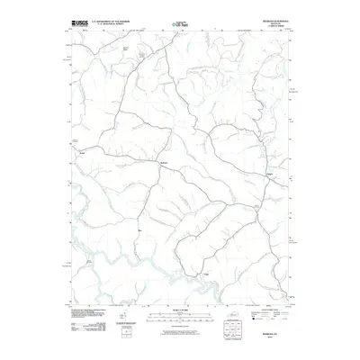 2010 Redbush2010 Print · USGSEastern Kentucky's dissected plateau comes into focus here during the early twenty-first century. Genealogists and local historians can trace family roots through several rural burial grounds like Cold Iron Cemetery and remote settlements such as Redbush and Fuget.
 - 2010 Map of Salyersville North, 2010 Print
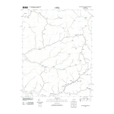 2010 Salyersville North2010 Print · USGSMagoffin County settlements and family lands are documented here in the early twenty-first century. Genealogists can trace family roots through numerous burial sites like Ham Conley Cemetery and Isaac Cemetery or the community at Logville.
 - 2010 Map of Lenox, 2010 Print
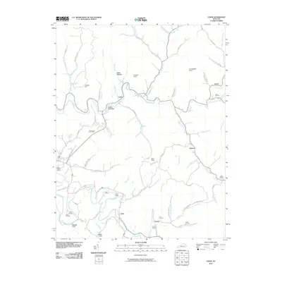 2010 Lenox2010 Print · USGSMorgan County is captured here in the early twenty-first century, showing the enduring rural layout of the Kentucky hills. Researchers can locate family roots at the Cottle Cemetery or trace old river crossings near Gordon Ford and Caskey Settlement.
 - 2010 Map of Oil Springs, 2010 Print
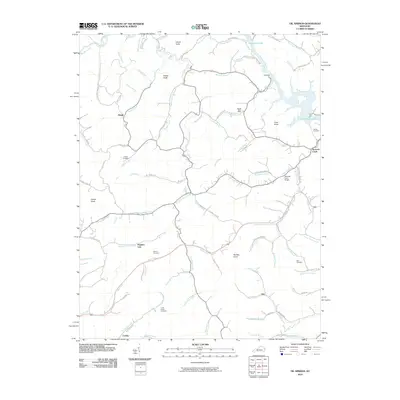 2010 Oil Springs2010 Print · USGSJohnson County's creek-carved landscape is documented here in the early twenty-first century, showing a network of rural settlements and family landmarks. Genealogists can locate several family burial sites, including the Frank Prater Cemetery and Blair Cemetery, or trace the historic Manila Post Office.
 - 2010 Map of Isonville, 2010 Print
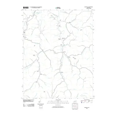 2010 Isonville2010 Print · USGSElliott County's rural landscape is captured here in the early twenty-first century, centered on the creek-side communities of Isonville and Newcombe. Genealogists can locate several family burial sites like the Arthur Bays Cemetery and landmark peaks such as Peters Hill OutTower.
 - 2010 Map of White Oak, 2010 Print
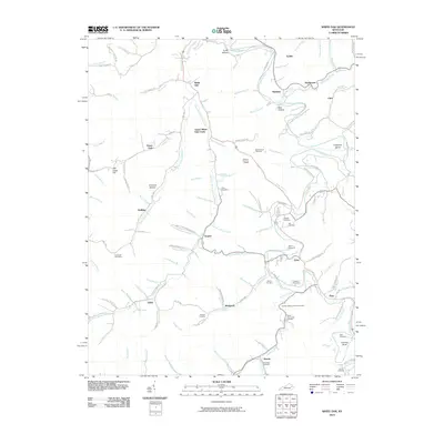 2010 White Oak2010 Print · USGSMagoffin County settlements and family homesteads are preserved in this 2010 study of the Kentucky hills. Genealogists can trace family lines through numerous burial sites like the Wile Reed Cemetery and the Andrew Jackson Patton Cemetery.
 - 2010 Map of Lee City, 2010 Print
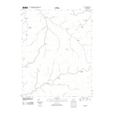 2010 Lee City2010 Print · USGSWolfe County in the early twenty-first century remains defined by its winding river valleys and rural hamlets. Local historians can trace family ties at the Field Branch Cemetery and Elam Cemetery or locate the site of the Ezel Lookout Tower.
 - 2010 Map of Seitz, 2010 Print
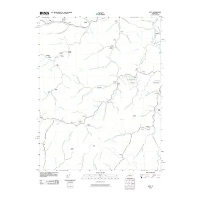 2010 Seitz2010 Print · USGSBreathitt County in the early twenty-first century remains a landscape of tightly-knit valley communities and winding waterways. Genealogists can trace deep family roots through numerous local sites like the William Big Bill Patriotic Cemetery and Clay Arnett Cemetery.
 - 2010 Map of Dingus, 2010 Print
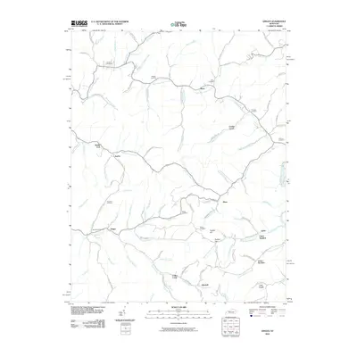 2010 Dingus2010 Print · USGSDingus and the surrounding Morgan County hollows are shown in detail as they appeared in 2010. Genealogists can trace ancestral land near Beculhimer Cemetery, Silverhill, and the winding waters of Open Fork Paint Creek.
 - 2010 Map of Sandy Hook, 2010 Print
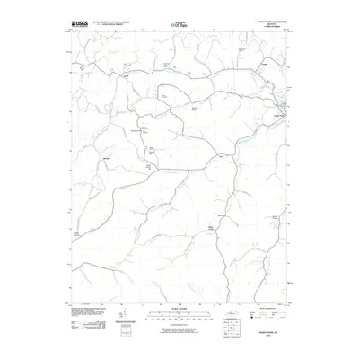 2010 Sandy Hook2010 Print · USGSSandy Hook and the headwaters of the Little Sandy River are mapped here in the early twenty-first century. Genealogists can locate several family burial sites like Whitt Cemetery and Adkins Cemetery among landmarks like Doctors Knob.
 - 2011 Map of Bangor, 2011 Print
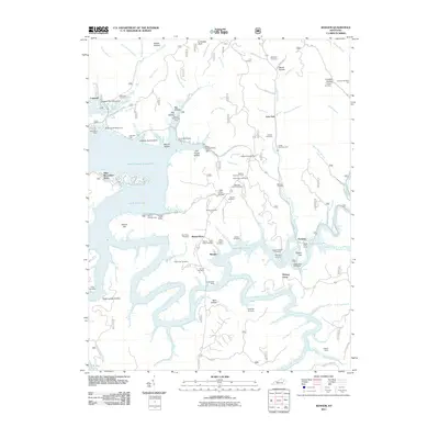 2011 Bangor2011 Print · USGSThe Licking River reservoir system defines this Rowan County landscape in the early twenty-first century. Genealogists and local historians can locate many family burial grounds, including Tackett Cemetery and Cornett Cemetery, alongside landmarks like Poppin Rock Tunnel.
 - 2011 Map of Wrigley, 2011 Print
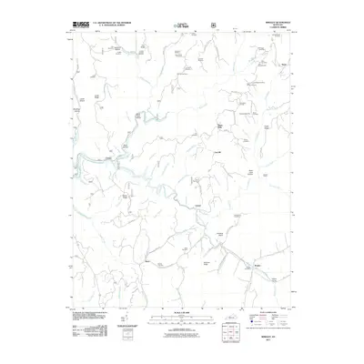 2011 Wrigley2011 Print · USGSMorgan and Rowan Counties in the early 2010s are defined by the winding valley of the North Fork Licking River. Genealogists and local historians can locate numerous family-named landmarks like Blairs Mills, Kidd-White Cemetery, and Winding Stairs.
 - 2011 Map of Ezel, 2011 Print
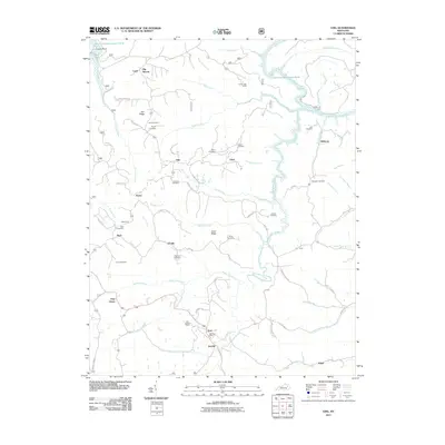 2011 Ezel2011 Print · USGSMorgan County, Kentucky, in the early twenty-first century remains a landscape of deep hollows and family homesteads. Researchers can trace ancestral sites through local landmarks like Artville, the Ezel Lookout Tower, and family plots such as Johnson Cemetery.
 - 2011 Map of Pomeroyton, 2011 Print
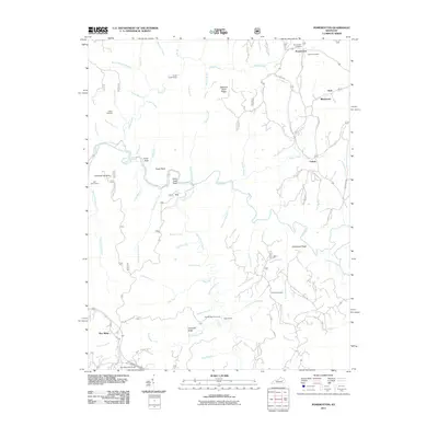 2011 Pomeroyton2011 Print · USGSWolfe County’s rugged plateau comes into focus here in the early twenty-first century, showing a landscape shaped by the Red River. Researchers can trace family history at the Pomeroyton Cemetery or locate landmarks like Indian Stairway and Valeria.
 - 2011 Map of West Liberty, 2011 Print
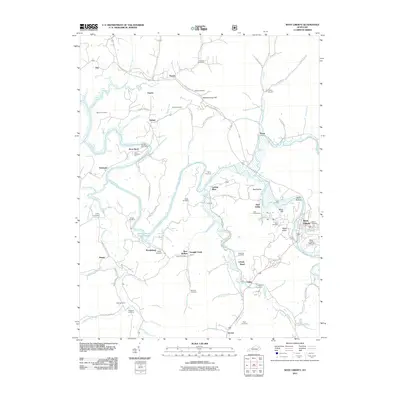 2011 West Liberty2011 Print · USGSThe Licking River valley in eastern Kentucky was a landscape of small hamlets and family farmsteads in the early twenty-first century. Genealogists can trace family lines through several burial sites like Cottle Cemetery and Oakley Cemetery, or locate the Henry Post Office.
 - 2013 Map of West Liberty, 2013 Print
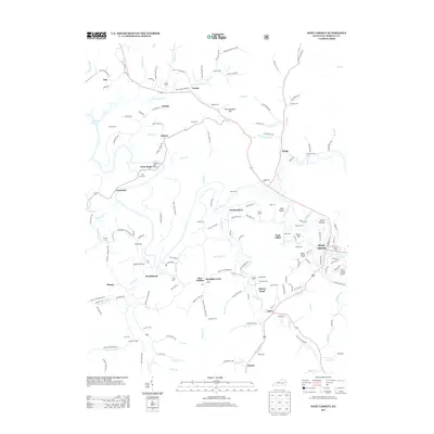 2013 West Liberty2013 Print · USGSMorgan County's river valleys and ridge-top settlements are captured here in the early twenty-first century. Genealogists and local researchers can locate numerous family burial sites like Howard Cemetery and Salyer Cemetery, or trace the rural routes connecting Twentysix and Bear Wallow.
 - 2013 Map of Cannel City, 2013 Print
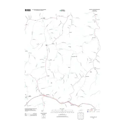 2013 Cannel City2013 Print · USGSWolfe County’s hollows and creek-side communities are captured here in the early 2000s, showing a landscape deeply shaped by its family-named landmarks. Genealogists can trace rural family plots like Combs Cem and Taulbee Cem or locate the site of The Chapel.
 - 2013 Map of Seitz, 2013 Print
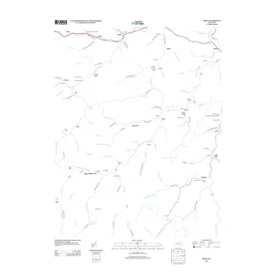 2013 Seitz2013 Print · USGSIn this 2013 survey of Breathitt County, the hollows and creek beds of the Kentucky highlands reveal a deep-rooted family history. Researchers can find dozens of family-named burial grounds, including the William Big Bill Patriotic Cem, the Gabriel Jack Cem, and the Jackson L Arnett Cem.
 - 2013 Map of Pomeroyton, 2013 Print
 2013 Pomeroyton2013 Print · USGSWolfe County’s rugged terrain is revealed in this early twenty-first century survey of the Red River corridor and its surrounding ridges. Researchers can locate family burial sites at Catron Cem or trace the geography of unique landmarks like Sky Bridge and the Indian Stairway.
 - 2013 Map of White Oak, 2013 Print
 2013 White Oak2013 Print · USGSMagoffin County in the early twenty-first century remains a landscape of tightly-knit river valley communities and family homesteads. Genealogists can trace deep local roots through family landmarks like the Andrew Jackson Patton Cem and Patrick and Lovely Cem.
 - 2013 Map of Salyersville North, 2013 Print
 2013 Salyersville North2013 Print · USGSMagoffin County's creek-carved landscape is meticulously detailed in the early twenty-first century, showing the enduring footprint of small Appalachian communities. Researchers can trace family history through numerous burial sites like Jenkins Cem, Tackett Cem, and Hale Cem.
 - 2013 Map of Hazel Green, 2013 Print
 2013 Hazel Green2013 Print · USGSWolfe County at the start of the 2010s reveals a landscape where family history and geography are inseparable. Trace ancestral roots through numerous burial sites like Peiratt Cem and Brewer Cem, or locate historic river crossings at Flat Rock Ford and Spradling Bridge.
 - 2013 Map of Lee City, 2013 Print
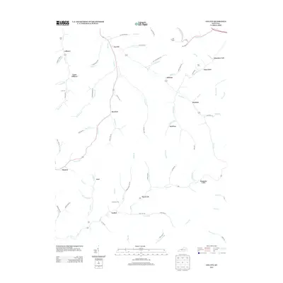 2013 Lee City2013 Print · USGSWolfe County at the start of the 2010s reveals a landscape defined by the winding Red River and its many mountain forks. Local researchers can trace family roots through sites like Gibbs Cem and Little Cem or locate the Ezel Lookout Tower.
Showing maps 1-25 of 68
Top cities of Morgan County
Frequently asked questions
- What are the different types of historical maps available for Morgan County?
- What is the oldest map of Morgan County?
- Where can I purchase historical maps of Morgan County for my home or office?
- Where can I download high-res historical maps of Morgan County?
- Are there historical topographic maps available for Morgan County?
- Is there historical aerial imagery available for Morgan County?
- Where are historical maps of Morgan County sourced from?