2020s Maps of Morgan County, Kentucky
Explore 17 historic maps of Morgan County from the 2020s. These maps offer a rare glimpse into what life looked like during the 2020s — showing old roads, neighborhoods, homes, and landmarks that have changed or disappeared over time.
Whether you're researching your family's past, planning a metal detecting trip, or studying how Morgan County's landscape evolved across the 2020s, these high-resolution maps are a powerful tool for exploring the history of this region.
- Focus on a specific era: All maps on this page are from the 2020s, giving you a focused view of this time period.
- See what’s changed: Compare century-old streets, trails, and buildings to today's modern landscape using overlays and satellite layers.
- Research with precision: Use these maps for genealogy, historical research, land use analysis, or educational projects.
- View, download, or print: Maps are fully viewable online in high resolution, and can be downloaded or printed for your own records.
Start exploring Morgan County's history through authentic maps from the 2020s. This is your window into the past.
Morgan County, KY maps
(17)- 2022 Map of Redbush, 2022 Print
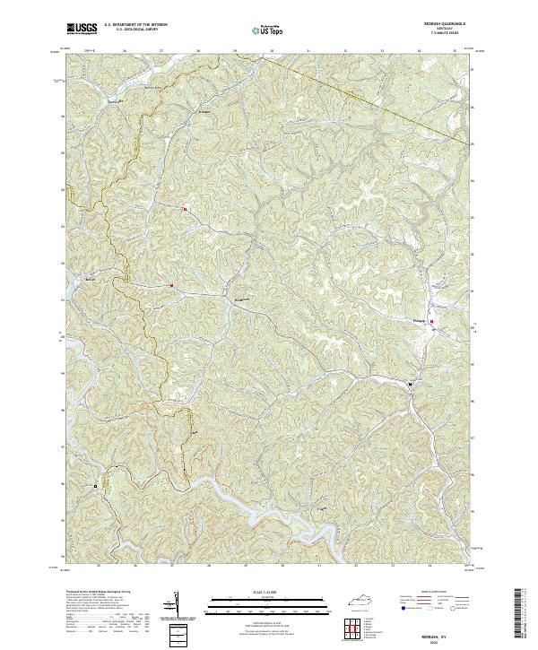 2022 Redbush2022 Print · USGSIn the early twenty-first century, these rural Kentucky highlands near the Johnson and Lawrence county line maintain their traditional ridge-and-hollow settlement patterns. Researchers can locate family landmarks such as Salyers Cem and Jenkins Cem or trace the early paths of Keaton and Flatgap.
 - 2022 Map of Oil Springs, 2022 Print
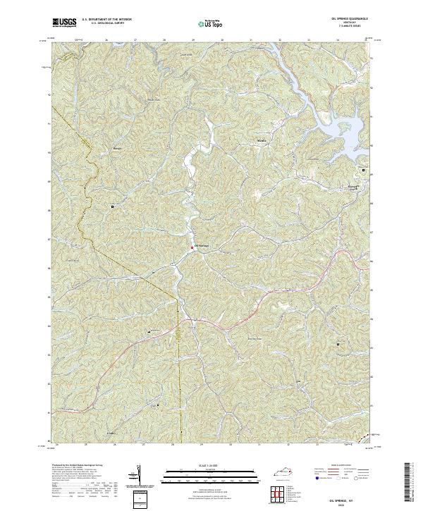 2022 Oil Springs2022 Print · USGSThe hill country of Johnson County in the early 2020s shows a landscape of small settlements and family history tucked along winding creek forks. Genealogists can trace ancestral land near the Frank D Prater Cem, Adams Cem, or the community of Oil Springs.
 - 2022 Map of Isonville, 2022 Print
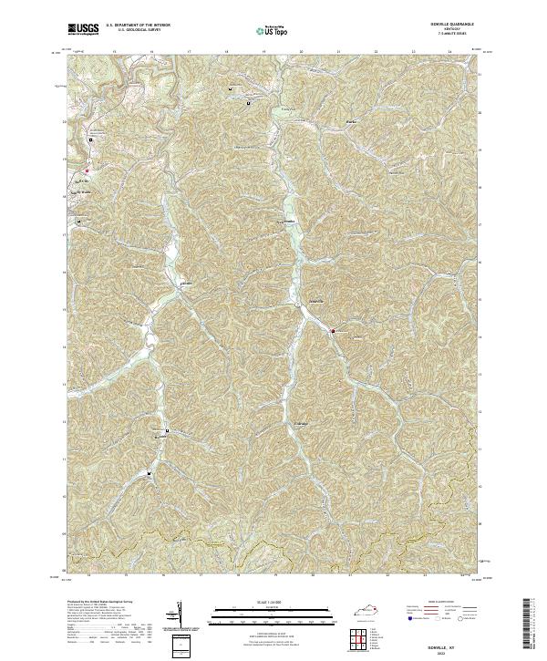 2022 Isonville2022 Print · USGSElliott County in the early twenty-first century remains a landscape of tightly wound hollows and family-held ridges. Genealogists and local historians can trace ancestral sites across Sandy Hook and Isonville, identifying landmarks like the Elliott County Courthouse and numerous burial grounds including Watson Cem and Burton Cem.
 - 2022 Map of Wrigley, 2022 Print
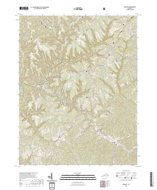 2022 Wrigley2022 Print · USGSMorgan County, Kentucky, maintains its deep-rooted rural character in this recent survey of the Licking River headwaters. Genealogists and local historians can trace family ties through numerous sites like Kidd Family Cem, Blairs Mills, and the community of Wrigley.
 - 2022 Map of Dingus, 2022 Print
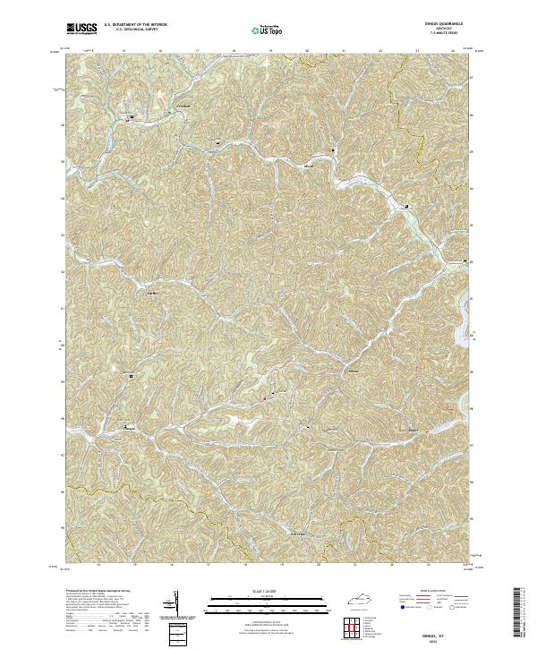 2022 Dingus2022 Print · USGSThe rural communities of Morgan County are documented here in the early twenty-first century, showing the persistent settlement patterns of the eastern Kentucky hills. Researchers can locate family landmarks such as Skaggs Cem, Dingus, and the crossing at Peddler Gap.
 - 2022 Map of Lee City, 2022 Print
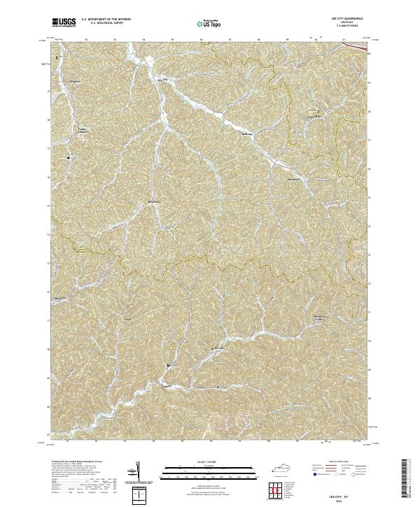 2022 Lee City2022 Print · USGSIn the hills of Eastern Kentucky, this 2022 survey captures the enduring settlement patterns of the Cumberland Plateau. Genealogists can trace family connections through landmarks like Gibbs Cem, Taulbee, and Wheel Rim across four intersecting counties.
 - 2022 Map of Ezel, 2022 Print
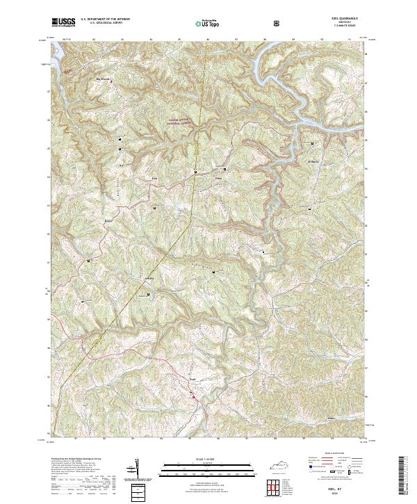 2022 Ezel2022 Print · USGSThe Licking River valley in eastern Kentucky is shown here in the early 2020s, dominated by forest and small rural hamlets. Family historians can trace several burial sites including Sexton Cem and Whitaker Cem near the communities of Ezel and Kellacey.
 - 2022 Map of Hazel Green, 2022 Print
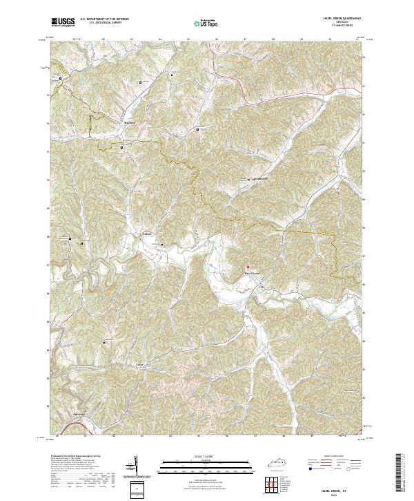 2022 Hazel Green2022 Print · USGSSettled along the winding Red River in the early twenty-first century, this area of Wolfe County maintains its rural character. Genealogists can trace family heritage through sites like Osborne Family Cem, Pieratt Cem, and the community of Stillwater.
 - 2022 Map of Lenox, 2022 Print
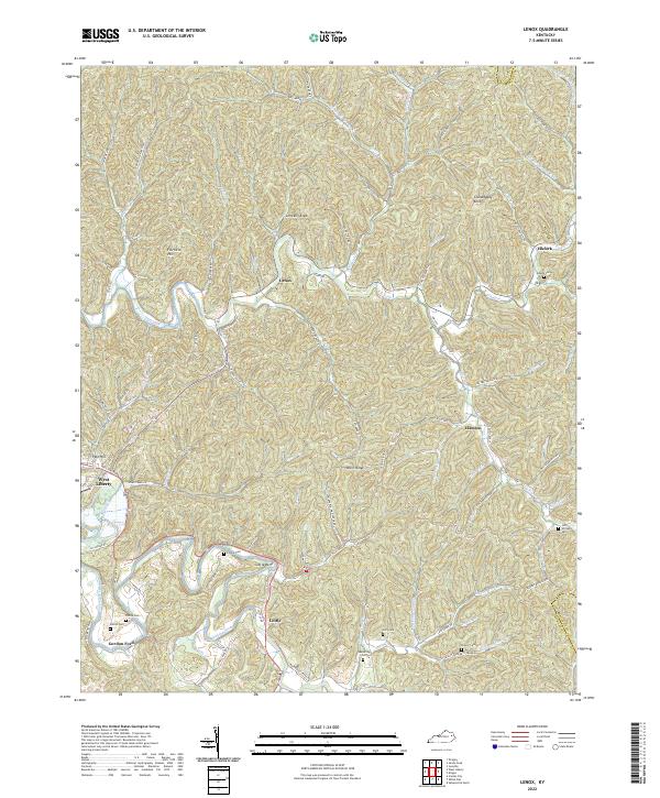 2022 Lenox2022 Print · USGSMorgan County and the edge of Elliott County are shown here as they appear in the early 2020s, centered on the Lenox community. Genealogists can trace family landmarks like Adkins Cem or Pelfrey Cem and follow the winding Licking River past Cottle Bend.
 - 2022 Map of Sandy Hook, 2022 Print
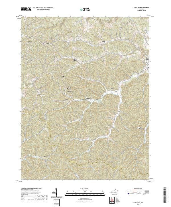 2022 Sandy Hook2022 Print · USGSSandy Hook and the surrounding Elliott County uplands are captured here in the early 2020s, showing a landscape defined by steep ridges and family legacies. Researchers can trace ancestral sites like the Whitt Cemetery and Adkins Cem or locate the Elliott County Courthouse at the heart of the region.
 - 2022 Map of Cannel City, 2022 Print
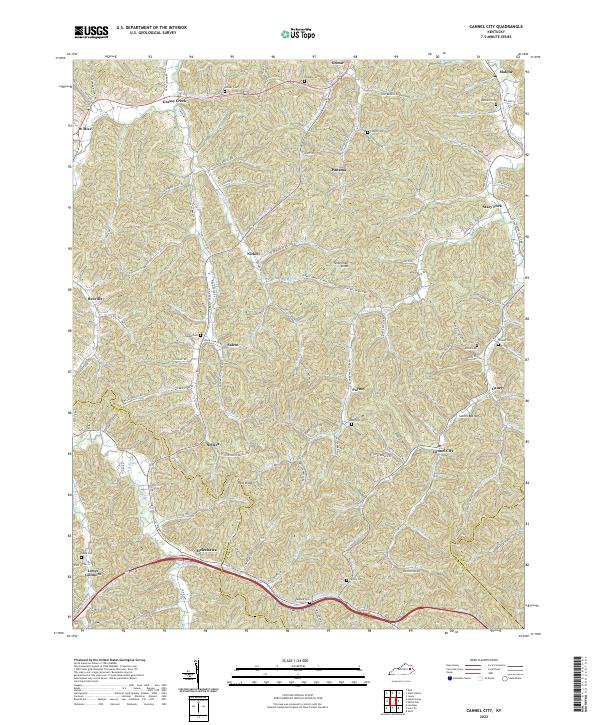 2022 Cannel City2022 Print · USGSEastern Kentucky's coal and timber country comes into focus in this recent survey of Morgan and Wolfe Counties. Researchers can locate family homesteads near Cannel City and Helechawa or trace ancestors at Morris Cem and Stinson Cem.
 - 2022 Map of Seitz, 2022 Print
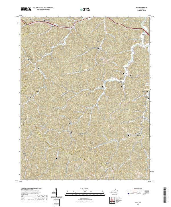 2022 Seitz2022 Print · USGSMagoffin County is shown in detail during the early 2020s, highlighting a landscape defined by deep hollows and ancestral family settlements. Genealogists can trace family locations through numerous sites like William Big Bill Patriotic Cem and Fleming Arnett Cem.
 - 2022 Map of Pomeroyton, 2022 Print
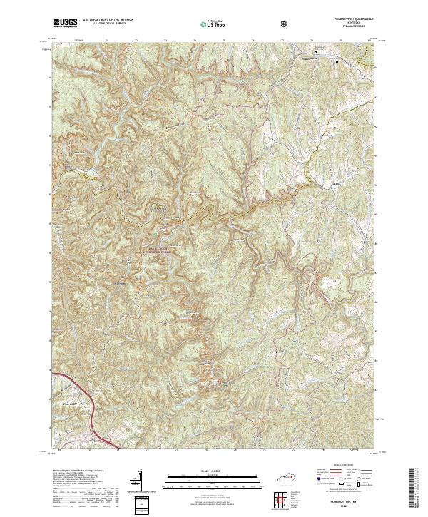 2022 Pomeroyton2022 Print · USGSThe northern edge of the Daniel Boone National Forest comes into sharp focus here in the early twenty-first century. Researchers can locate family roots at Pomeroyton Cem or trace landmarks like Cloud Splitter, Sky Bridge, and Rock Bridge Arch.
 - 2022 Map of Salyersville North, 2022 Print
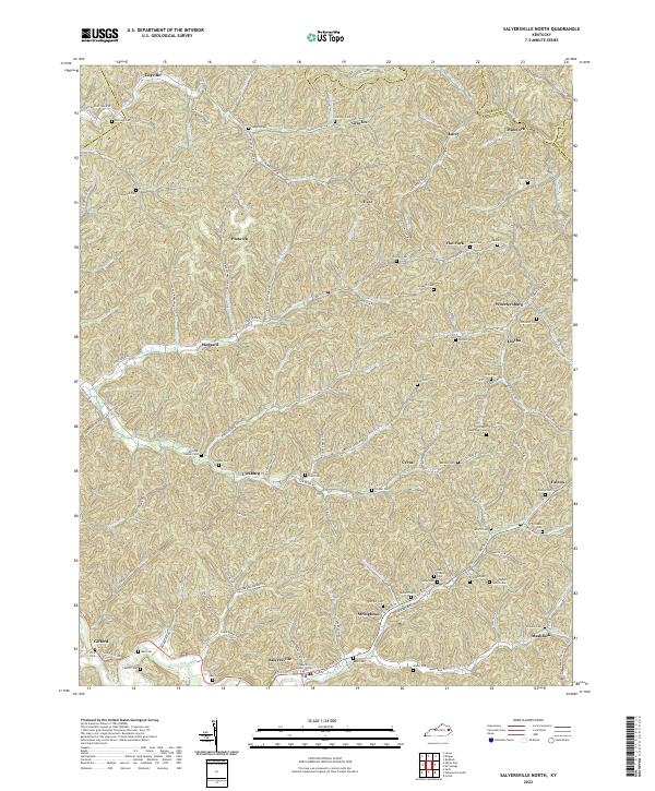 2022 Salyersville North2022 Print · USGSMagoffin County near the headwaters of the Licking River is documented here in its contemporary landscape. Researchers can trace dozens of family cemeteries like Christopher Gullet Cem and Tackett Memorial Cem or locate community centers in Salyersville and Lickburg.
 - 2022 Map of West Liberty, 2022 Print
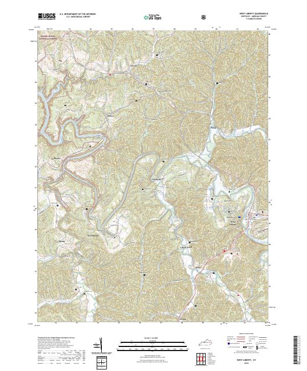 2022 West Liberty2022 Print · USGSThe Licking River valley in Morgan County appears in modern detail, showcasing the region's steep ridges and civic center. Trace family history through West Liberty and local cemeteries like Potter Cem and Neal Cem.
 - 2022 Map of White Oak, 2022 Print
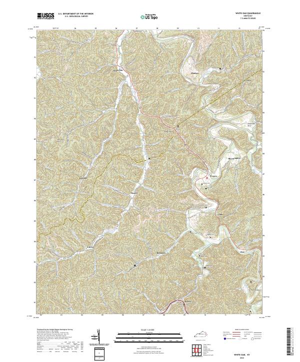 2022 White Oak2022 Print · USGSMagoffin and Morgan counties are shown here as they appear in 2022, centering on the winding Licking River. Researchers can trace generations through family landmarks like Andrew Jackson Patton Cem, Patrick and Lovely Cem, and the settlement at White Oak.
 - 2022 Map of Bangor, 2022 Print
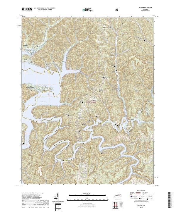 2022 Bangor2022 Print · USGSThe ridges of eastern Kentucky are captured here in the twenty-first century, showing the intersection of the Daniel Boone National Forest and local hamlets. Trace family roots at Mount Hope Cem or Roll-Alfrey Cem while exploring the hollows around Bangor.
End of results
Showing maps 1-17 of 17
Top cities of Morgan County
Frequently asked questions
- What are the different types of historical maps available for Morgan County?
- What is the oldest map of Morgan County?
- Where can I purchase historical maps of Morgan County for my home or office?
- Where can I download high-res historical maps of Morgan County?
- Are there historical topographic maps available for Morgan County?
- Is there historical aerial imagery available for Morgan County?
- Where are historical maps of Morgan County sourced from?