2010s Maps of Rowan County, Kentucky
Explore 48 historic maps of Rowan County from the 2010s. These maps offer a rare glimpse into what life looked like during the 2010s — showing old roads, neighborhoods, homes, and landmarks that have changed or disappeared over time.
Whether you're researching your family's past, planning a metal detecting trip, or studying how Rowan County's landscape evolved across the 2010s, these high-resolution maps are a powerful tool for exploring the history of this region.
- Focus on a specific era: All maps on this page are from the 2010s, giving you a focused view of this time period.
- See what’s changed: Compare century-old streets, trails, and buildings to today's modern landscape using overlays and satellite layers.
- Research with precision: Use these maps for genealogy, historical research, land use analysis, or educational projects.
- View, download, or print: Maps are fully viewable online in high resolution, and can be downloaded or printed for your own records.
Start exploring Rowan County's history through authentic maps from the 2010s. This is your window into the past.
Rowan County, KY maps
(48)- 2010 Map of Ault, 2010 Print
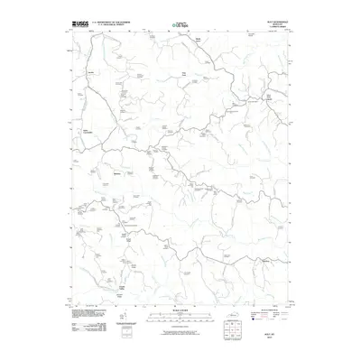 2010 Ault2010 Print · USGSEastern Kentucky's ridge country is documented here at the start of the decade, showing the deeply ingrained family settlements of Elliott County. Genealogists can locate specific ancestral sites like Fannin Crossing, the Gimlet Post Office, and the Beartown Church.
 - 2010 Map of Plummers Landing, 2010 Print
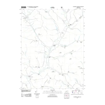 2010 Plummers Landing2010 Print · USGSFleming County's rural character is on full display in this 2010 survey of the hollows and hills surrounding Plummers Landing. Genealogists and local historians can trace family roots through sites like the Goddard Covered Bridge, Muses Mills Church, and the Jackson Family Cemetery.
 - 2011 Map of Farmers, 2011 Print
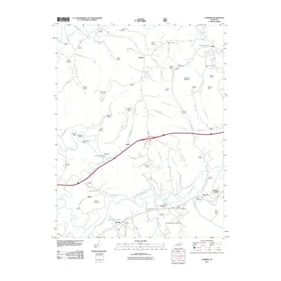 2011 Farmers2011 Print · USGSThe Licking River valley and its surrounding ridges are captured here in the early twenty-first century. Genealogists can trace family history through dozens of local sites like Woodford Black Cemetery, Moores Ferry, and the community of Farmers.
 - 2011 Map of Salt Lick, 2011 Print
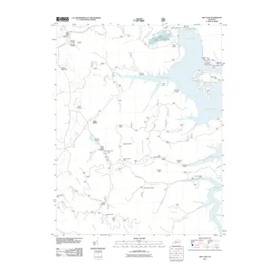 2011 Salt Lick2011 Print · USGSThe Licking River valley and the expansive Cave Run Lake define this part of Kentucky in the early twenty-first century. Researchers can locate numerous family burial grounds like Carey Cemetery and Alfrey Cemetery or visit the historical Clear Creek Furnace.
 - 2011 Map of Morehead, 2011 Print
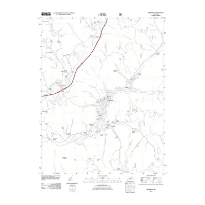 2011 Morehead2011 Print · USGSThe foothills of eastern Kentucky come alive in this early twenty-first-century survey of the Morehead area. Genealogists and hikers can trace family history through dozens of sites like Forest Lawn Memorial Gardens Cemetery or navigate landmarks such as Amburgy Rocks and Clack Mountain.
 - 2011 Map of Cranston, 2011 Print
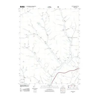 2011 Cranston2011 Print · USGSRowan County's rural communities and family cemeteries are documented here in the early twenty-first century. Genealogists can trace family footprints across dozens of sites like the Wyatt Cemetery, the Hogge Cemetery, and the settlement at Waltz.
 - 2011 Map of Bangor, 2011 Print
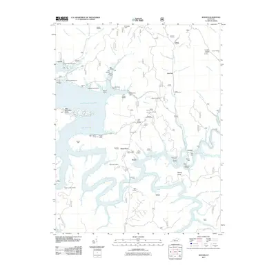 2011 Bangor2011 Print · USGSThe Licking River reservoir system defines this Rowan County landscape in the early twenty-first century. Genealogists and local historians can locate many family burial grounds, including Tackett Cemetery and Cornett Cemetery, alongside landmarks like Poppin Rock Tunnel.
 - 2011 Map of Colfax, 2011 Print
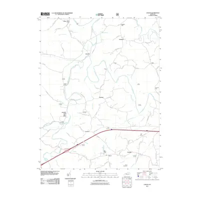 2011 Colfax2011 Print · USGSBath County at the turn of the decade shows a deep-rooted rural landscape where the Licking River meets old Kentucky mining and forging sites. Researchers can trace family history through the Old Virginia Cemetery or locate industrial relics like the Ore Mines and Whickliffe Forge Slate Valley.
 - 2011 Map of Wrigley, 2011 Print
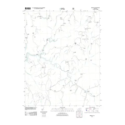 2011 Wrigley2011 Print · USGSMorgan and Rowan Counties in the early 2010s are defined by the winding valley of the North Fork Licking River. Genealogists and local historians can locate numerous family-named landmarks like Blairs Mills, Kidd-White Cemetery, and Winding Stairs.
 - 2011 Map of Stricklett, 2011 Print
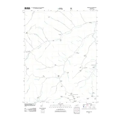 2011 Stricklett2011 Print · USGSSettlement along the Kinniconick Creek drainage in Lewis County is documented here during the early twenty-first century. Genealogists can trace family names through numerous hollows and cemeteries like McEldowney Cemetery, McCless Hollow, and Brown Cemetery Three.
 - 2011 Map of Soldier, 2011 Print
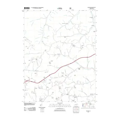 2011 Soldier2011 Print · USGSThe rural communities of Carter County are documented here in the early twenty-first century, centered on the historic rail corridor between Soldier and Haldeman. Genealogists can trace dozens of family burial sites, including Rayburn Community Cemetery, the Triplet Tunnel, and the remote settlement of Fitch.
 - 2011 Map of Haldeman, 2011 Print
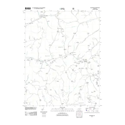 2011 Haldeman2011 Print · USGSEastern Kentucky's hollows and ridges were meticulously documented in the early twenty-first century, showing a landscape shaped by narrow valleys and family legacies. Genealogists can locate dozens of remote burial sites, such as the Abbott-Sturgill Cemetery and Goodan-Fultz Cemetery, near the hamlet of Elliottville.
 - 2013 Map of Stricklett, 2013 Print
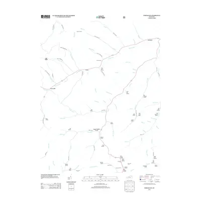 2013 Stricklett2013 Print · USGSThe Lewis County countryside near Stricklett and Petersville is shown here in the early twenty-first century as a network of creek-side settlements and family hollows. Genealogists and local historians can trace small community landmarks like McEldowney Cem, Crum, and the Washman Lookout.
 - 2013 Map of Morehead, 2013 Print
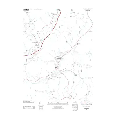 2013 Morehead2013 Print · USGSMorehead and the Rowan County hills are shown in detail just over a decade ago, where valley settlements follow the winding path of Triplett Creek. Local researchers can locate dozens of family burial sites like McDaniel Cem One or the Armstrong Family plot, alongside landmarks like the Little Bell Tower.
 - 2013 Map of Haldeman, 2013 Print
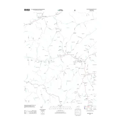 2013 Haldeman2013 Print · USGSRowan County at the start of the 2010s reveals a landscape deeply anchored by family history and rural settlements. Researchers can trace ancestral locations across dozens of sites like the Goodan-Fultz Cem and Benjamin Caudill Cem near Elliottville.
 - 2013 Map of Plummers Landing, 2013 Print
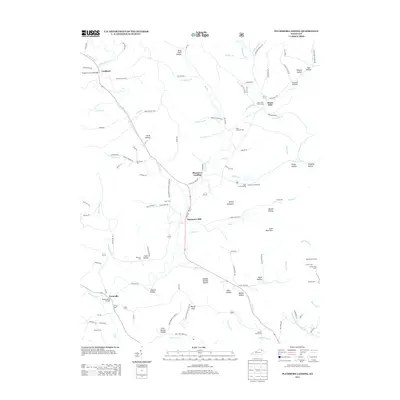 2013 Plummers Landing2013 Print · USGSFleming County’s rural crossroads and water-powered history are preserved in this recent survey of the Kentucky hills. Genealogists and local historians can trace family burial sites like Hurst Cem and explore landmark structures including the Goddard Covered Bridge and Ringos Mills Bridge.
 - 2013 Map of Salt Lick, 2013 Print
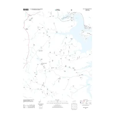 2013 Salt Lick2013 Print · USGSSalt Lick and the Licking River valley are shown here in the early twenty-first century, following the major transformation of the valley by Cave Run Lake. Local historians can trace early industrial sites like Clear Creek Furnace alongside family landmarks such as Dickerson Cem and Young Springs.
 - 2013 Map of Colfax, 2013 Print
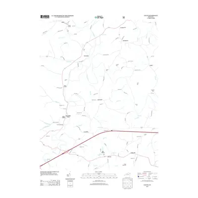 2013 Colfax2013 Print · USGSThe Licking River valley in the early twenty-first century reveals a landscape shaped by early industry and local family lineages. Researchers can trace the proximity of the Ore Mines to small communities like Shrout and locate family burial sites like Atchison Cem.
 - 2013 Map of Bangor, 2013 Print
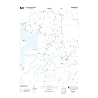 2013 Bangor2013 Print · USGSThe Licking River valley and the waters of Cave Run Lake define this region in the early twenty-first century. Researchers can locate numerous family burial sites like Tackett Cem and Roll Alfrey Cem, or trace the Poppin Rock Tunnel near Paragon.
 - 2013 Map of Ault, 2013 Print
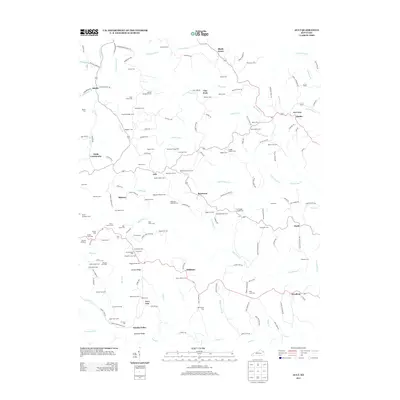 2013 Ault2013 Print · USGSElliott County's rural communities and family ridge-lines are documented here in the early twenty-first century. Genealogists can locate specific ancestral sites like Beartown Church, Fannin Crossing, and the Norman Henderson Cem.
 - 2013 Map of Farmers, 2013 Print
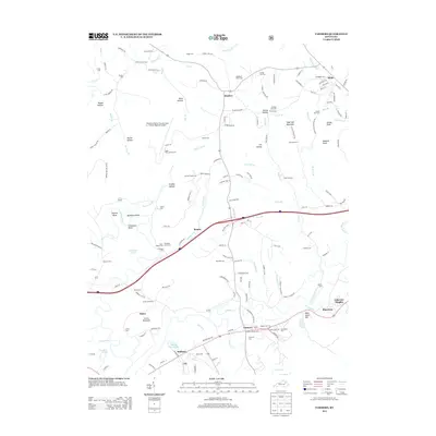 2013 Farmers2013 Print · USGSThe Licking River meanders through Bath and Rowan counties in the early twenty-first century, shaping a landscape of deep bends and fertile valleys. Genealogists can trace decades of local history through numerous sites like Woodford Black Cem, Moores Ferry, and the Ingram-Stevens Cem.
 - 2013 Map of Soldier, 2013 Print
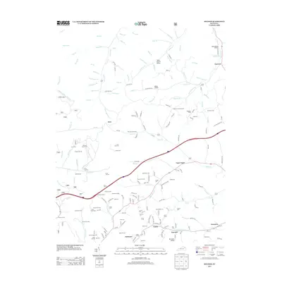 2013 Soldier2013 Print · USGSCarter County's ridge-and-hollow landscape is captured here in the early 2000s, centered on the historic rail and road corridors of Soldier and Hayward. Family historians can trace dozens of burial sites including Shumate Cem One and the Mabry Hill Cem near the Triplet Tunnel.
 - 2013 Map of Cranston, 2013 Print
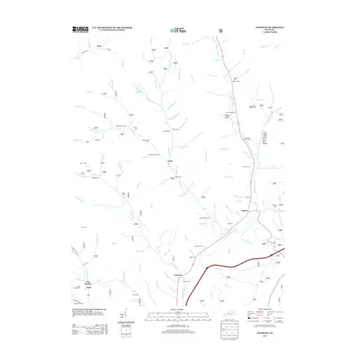 2013 Cranston2013 Print · USGSRowan County at the start of the decade reveals a landscape of deep hollows and tightly-knit family settlements. Genealogists can trace local heritage through numerous burial sites like Anderson Cem and Hogge Cem near the communities of Waltz and Triplett.
 - 2013 Map of Wrigley, 2013 Print
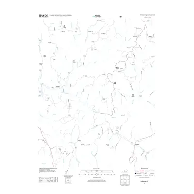 2013 Wrigley2013 Print · USGSEastern Kentucky's ridge-and-hollow country is documented here in the early twenty-first century, showing a landscape defined by ancestral family lands. Genealogists can trace hundreds of names through burial sites like Dillion Cem and Kidd Family Cem or locate the old post office at Wrigley.
 - 2016 Map of Wrigley, 2016 Print
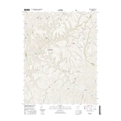 2016 Wrigley2016 Print · USGSEastern Kentucky's rugged tri-county borderlands are documented here in the mid-2010s, showing a landscape of deep hollows and family-named ridges. Genealogists can trace decades of local heritage through sites like Bishop Cem, Blairs Mills, and the Kidd Family Cem.
Showing maps 1-25 of 48
Top cities of Rowan County
Frequently asked questions
- What are the different types of historical maps available for Rowan County?
- What is the oldest map of Rowan County?
- Where can I purchase historical maps of Rowan County for my home or office?
- Where can I download high-res historical maps of Rowan County?
- Are there historical topographic maps available for Rowan County?
- Is there historical aerial imagery available for Rowan County?
- Where are historical maps of Rowan County sourced from?