Old Maps of Franklin, Kentucky for Academic Research
Study the evolution of Franklin with 27 high-resolution historic maps. Whether you're teaching, researching, or modeling changes in land use, these maps provide essential visual documentation of urban, environmental, and geographic change.
- Analyze long-term change: Track patterns in development, transportation, and natural features.
- Ideal for environmental or urban studies: Support academic projects with primary historical map data.
- Use in the classroom or lab: Educators and researchers rely on these maps to bring historical context to life.
These maps are a powerful tool for teaching, research, and visualizing how Franklin has changed over the decades.
Franklin, KY maps
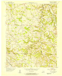
(27)- 1928 Map of Adolphus
 1928 Adolphus1928 Print · USGSThe Kentucky-Tennessee state line was a landscape of small schools and river crossings in the late twenties. Genealogists can locate family landmarks like Allen Cem, Reeders Sch, and the numerous crossings along Trammel Creek including Old Mill Ford.
 - 1931 Map of Adolphus
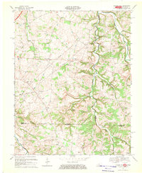
 1931 Adolphus1931 Print · USGSThe Kentucky-Tennessee state line was a landscape of river fords and country schoolhouses during the late Prohibition era. Genealogists can trace family footprints through dozens of local landmarks like Old Mill Ford, McKendree Chapel, and Pinkle Cem.2 unique versions available
 - 1942 Map of Gallatin
 1942 Gallatin1942 Print · USGSThe Tennessee-Kentucky borderlands were a crossroads of river and rail during the early war years. Genealogists and historians can trace family roots through dozens of named settlements like Bethpage, Prices Mill, and Mitchellville, or locate historic river crossings such as Kirkpatricks Ferry.
 - 1951 Map of Woodburn, 1952 Print
 1951 Woodburn1952 Print · USGSSouthern Kentucky at the dawn of the fifties shows a landscape of rail-side towns and winding waterways. Genealogists and local historians can trace the foundations of Woodburn, locate family-named sites like Stevenson Ch, and follow the old Louisville and Nashville line.2 unique versions available
 - 1951 Map of Franklin, 1952 Print
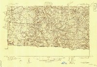
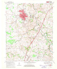
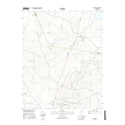
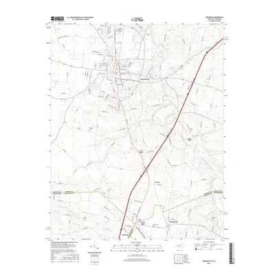
 1951 Franklin1952 Print · USGSThe Kentucky-Tennessee borderlands in the early fifties come to life on this detailed map of the Franklin area. Genealogists and historians can trace the Louisville and Nashville rail line and locate rural landmarks like Peden Mill and Union Chapel.2 unique versions available
 - 1954 Map of Hickory Flat, 1956 Print
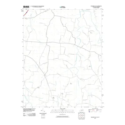
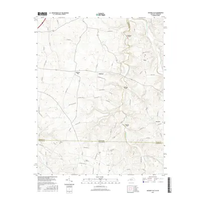
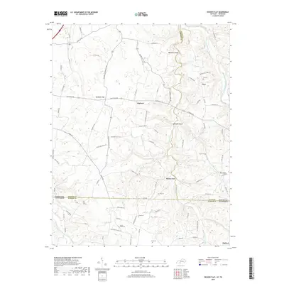
 1954 Hickory Flat1956 Print · USGSThe Kentucky and Tennessee borderlands in the mid-1950s show a dense network of rural life organized around the Drakes Creek forks. Genealogists can trace family footprints through numerous small landmarks like Bethany Cem, Round Pond Sch, and the community of New Roe.
 - 1956 Map of Nashville, 1971 Print
 1956 Nashville1971 Print · USGSThe Tennessee-Kentucky borderlands come into focus in the mid-1960s as major reservoir projects transformed the Cumberland and Tennessee river valleys. Researchers can trace the rail networks of the Louisville and Nashville and visit sites like Fort Campbell and Fort Donelson National Military Park.2 unique versions available
 - 1959 Map of Nashville
 1959 Nashville1959 Print · USGSMiddle Tennessee and Southern Kentucky come into focus during the late fifties, showing the region's transition into a modern transportation and military hub. Researchers can trace the sprawling Fort Campbell Military Reservation or locate historic rail stops along the Tennessee Central Ry and Illinois Central RR.
 - 1967 Map of Hickory Flat, 1969 Print
 1967 Hickory Flat1969 Print · USGSThe Simpson and Allen County line at the Tennessee border was a network of rural hamlets and family farmsteads in the late sixties. Researchers can find numerous burial grounds and churches like Smyrna Ch, Loving Chapel Cem, and the Round Pond Sch.
 - 1968 Map of Franklin, 1969 Print
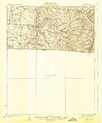
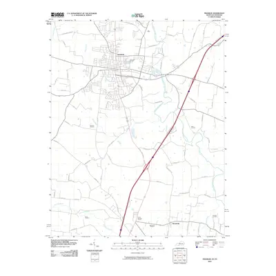
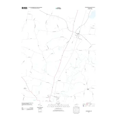
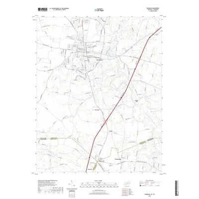
 1968 Franklin1969 Print · USGSThe Kentucky and Tennessee borderlands come alive in this late 1960s survey, centered on the rail hub of Franklin. Researchers can trace the rural landscape from Green Lawn Cemetery down to the creek-side community of Mitchellville and the historic Peden Mill.4 unique versions available
 - 1979 Map of Woodburn, 1984 Print
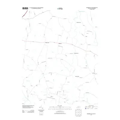
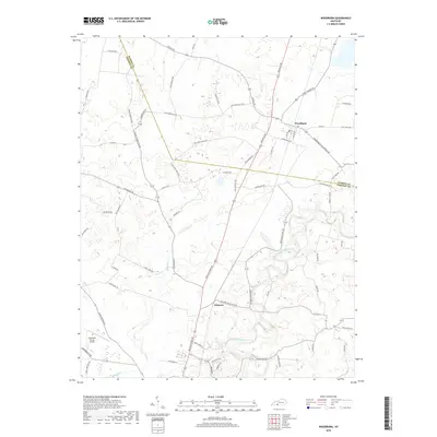
 1979 Woodburn1984 Print · USGSWarren and Simpson County at the end of the seventies show a landscape of traditional crossroads communities and institutional foundations. Genealogists can locate family landmarks like Old Zion Ch, the County Home, and the railroad village of Woodburn.
 - 1985 Map of Bowling Green
 1985 Bowling Green1985 Print · USGSThe rolling borderlands of Kentucky and Tennessee are captured here in the mid-eighties, showing a landscape shaped by the Barren River and deep-rooted rail networks. Genealogists and researchers can trace local landmarks like Prices Mill, Highland Academy, and Green Lawn Cem.3 unique versions available
 - 2010 Map of Woodburn, 2010 Print
 2010 Woodburn2010 Print · USGSCovers Franklin, including Woodburn, Black Jack, and other nearby areas
 - 2010 Map of Franklin, 2010 Print
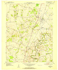
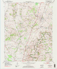
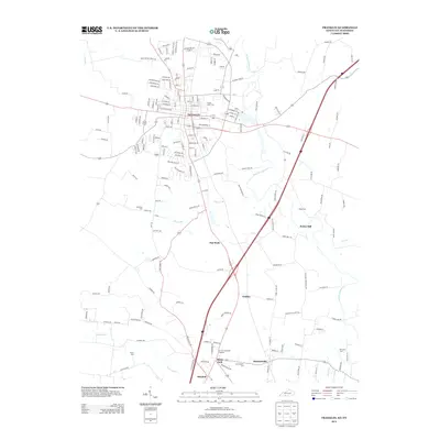
 2010 Franklin2010 Print · USGSCovers Franklin, including Portland, Mitchellville, and other nearby areas
 - 2010 Map of Hickory Flat, 2010 Print
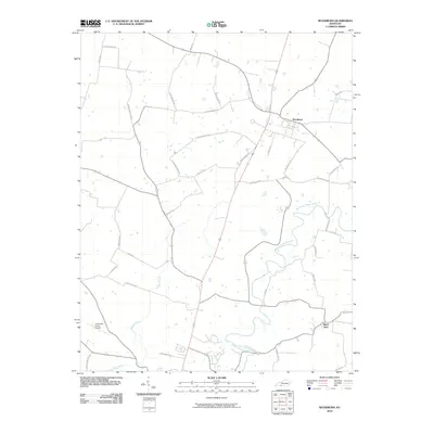
 2010 Hickory Flat2010 Print · USGSCovers Franklin, including Portland, Clare, and other nearby areas
 - 2013 Map of Franklin, 2013 Print
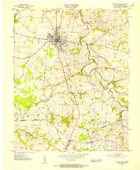
 2013 Franklin2013 Print · USGSCovers Franklin, including Portland, Mitchellville, and other nearby areas
 - 2013 Map of Woodburn, 2013 Print
 2013 Woodburn2013 Print · USGSCovers Franklin, including Woodburn, Black Jack, and other nearby areas
 - 2013 Map of Hickory Flat, 2013 Print
 2013 Hickory Flat2013 Print · USGSCovers Franklin, including Portland, Clare, and other nearby areas
 - 2016 Map of Hickory Flat, 2016 Print
 2016 Hickory Flat2016 Print · USGSCovers Franklin, including Portland, Clare, and other nearby areas
 - 2016 Map of Woodburn, 2016 Print
 2016 Woodburn2016 Print · USGSCovers Franklin, including Woodburn, Black Jack, and other nearby areas
 - 2016 Map of Franklin, 2016 Print
 2016 Franklin2016 Print · USGSCovers Franklin, including Portland, Mitchellville, and other nearby areas
 - 2019 Map of Hickory Flat, 2019 Print
 2019 Hickory Flat2019 Print · USGSCovers Franklin, including Portland, Clare, and other nearby areas
 - 2019 Map of Woodburn, 2019 Print
 2019 Woodburn2019 Print · USGSCovers Franklin, including Woodburn, Black Jack, and other nearby areas
 - 2019 Map of Franklin, 2019 Print
 2019 Franklin2019 Print · USGSCovers Franklin, including Portland, Mitchellville, and other nearby areas
 - 2022 Map of Woodburn, 2022 Print
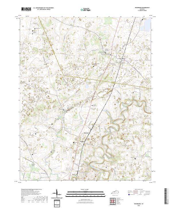 2022 Woodburn2022 Print · USGSSouth-central Kentucky farmland near the Warren and Simpson county line reveals a landscape deeply rooted in family history. Trace ancestral connections at William H Skiles Cem, Stevenson Church, and the settlement of Salmons.
Showing maps 1-25 of 27
Top cities near Franklin
- Bowling Green historical maps
- Portland historical maps
- Cross Plains historical maps
- Auburn historical maps
- Orlinda historical maps
- Woodburn historical maps
See more
Top neighborhoods of Franklin
Frequently asked questions
- What are the different types of historical maps available for Franklin?
- What is the oldest map of Franklin?
- Where can I purchase historical maps of Franklin for my home or office?
- Where can I download high-res historical maps of Franklin?
- Are there historical topographic maps available for Franklin?
- Is there historical aerial imagery available for Franklin?
- Where are historical maps of Franklin sourced from?