2000s (21st Century) Maps of Union County, Kentucky
Explore 75 historic maps of Union County from the 2000s (21st Century). These maps offer a rare glimpse into what life looked like during the 2000s — showing old roads, neighborhoods, homes, and landmarks that have changed or disappeared over time.
Whether you're researching your family's past, planning a metal detecting trip, or studying how Union County's landscape evolved across the 2000s, these high-resolution maps are a powerful tool for exploring the history of this region.
- Focus on a specific era: All maps on this page are from the 2000s, giving you a focused view of this time period.
- See what’s changed: Compare century-old streets, trails, and buildings to today's modern landscape using overlays and satellite layers.
- Research with precision: Use these maps for genealogy, historical research, land use analysis, or educational projects.
- View, download, or print: Maps are fully viewable online in high resolution, and can be downloaded or printed for your own records.
Start exploring Union County's history through authentic maps from the 2000s. This is your window into the past.
Union County, KY maps
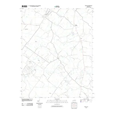
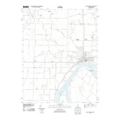
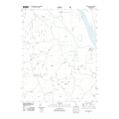
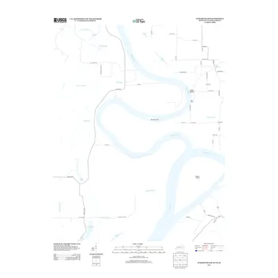
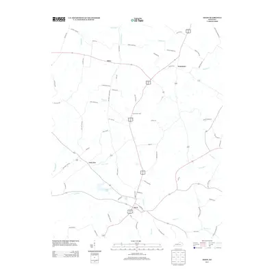
(75)- 2010 Map of Waverly, 2010 Print
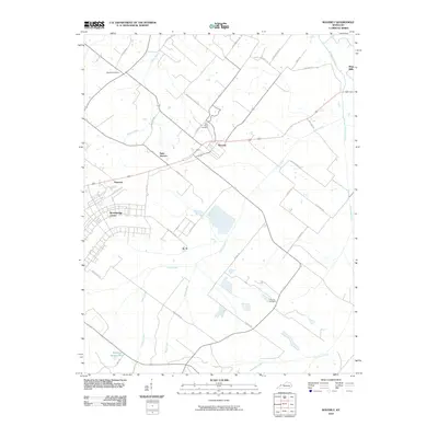 2010 Waverly2010 Print · USGSCovers Union County, including Waverly, Flournoy, and other nearby areas
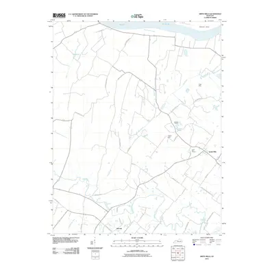
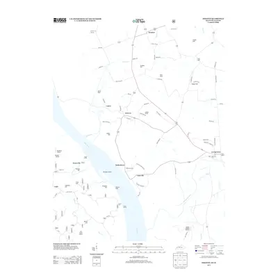
 - 2010 Map of Bordley, 2010 Print
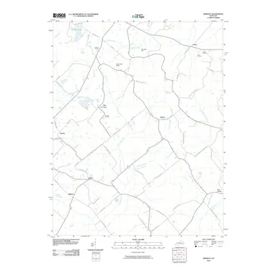 2010 Bordley2010 Print · USGSCovers Union County, including Shelton, Free Union, and other nearby areas
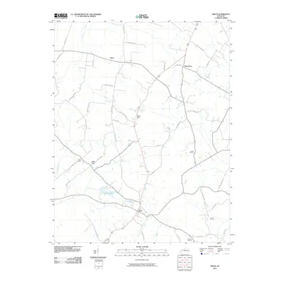
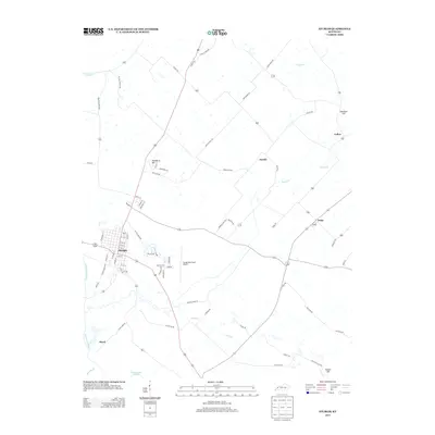
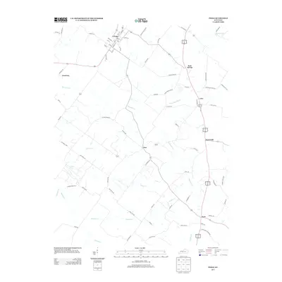
 - 2010 Map of Sturgis, 2010 Print
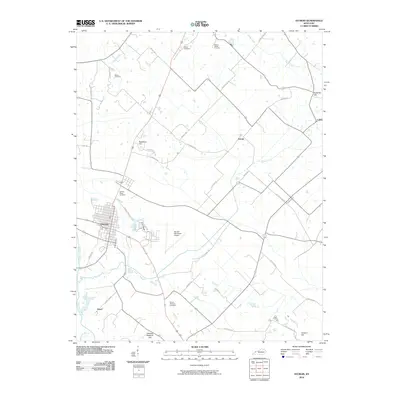 2010 Sturgis2010 Print · USGSCovers Union County, including Sturgis, Hazel, and other nearby areas
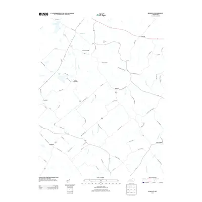
 - 2010 Map of Blackford, 2010 Print
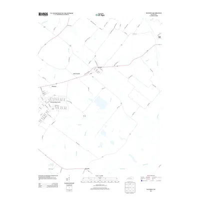
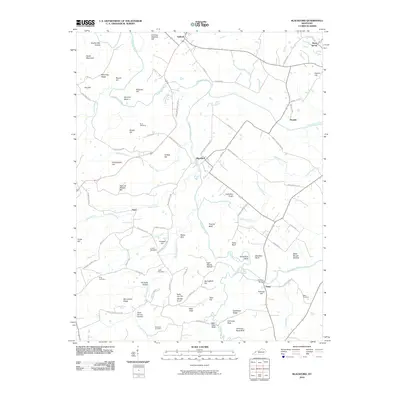 2010 Blackford2010 Print · USGSCovers Union County, including Piney, Sullivan, and other nearby areas
 - 2010 Map of Poole, 2010 Print
 2010 Poole2010 Print · USGSCovers Union County, including Corydon, Rock Springs, and other nearby areas
 - 2010 Map of Dixon, 2010 Print
 2010 Dixon2010 Print · USGSCovers Union County, including Dixon, Wanamaker, and other nearby areas
 - 2010 Map of Grove Center, 2010 Print
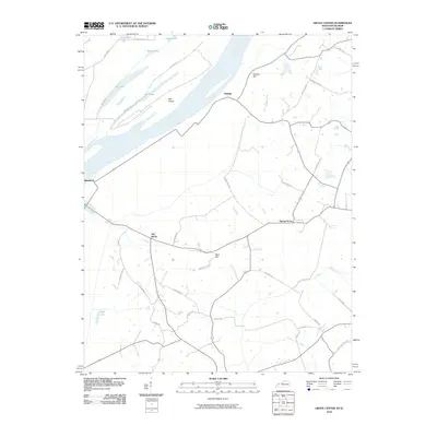 2010 Grove Center2010 Print · USGSCovers Union County, including Raleigh, Grove Center, and other nearby areas
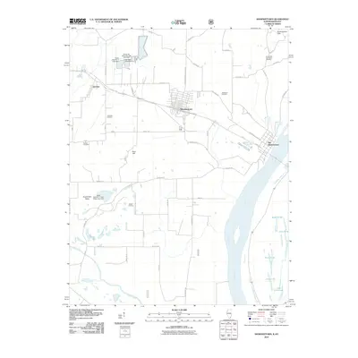
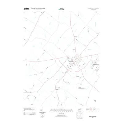
 - 2010 Map of Morganfield, 2010 Print
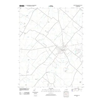 2010 Morganfield2010 Print · USGSCovers Union County, including Morganfield, Hamner, and other nearby areas
 - 2010 Map of Mount Vernon, 2010 Print
 2010 Mount Vernon2010 Print · USGSCovers Union County, including Mount Vernon, Prairie, and other nearby areas
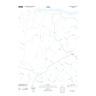
 - 2010 Map of Smith Mills, 2010 Print
 2010 Smith Mills2010 Print · USGSCovers Union County, including Smith Mills, Hitesville, and other nearby areas
 - 2010 Map of Shawneetown, 2010 Print
 2010 Shawneetown2010 Print · USGSCovers Union County, including Shawneetown, Junction, and other nearby areas
 - 2011 Map of Dekoven, 2011 Print
 2011 Dekoven2011 Print · USGSCovers Union County, including Sturgis, Curlew, and other nearby areas
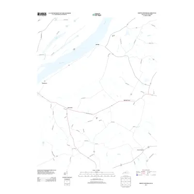
 - 2011 Map of Saline Mines, 2011 Print
 2011 Saline Mines2011 Print · USGSCovers Union County, including Saline Landing, Cadiz, and other nearby areas
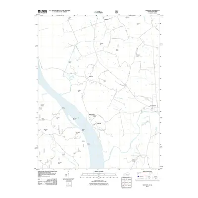
 - 2011 Map of Uniontown, 2011 Print
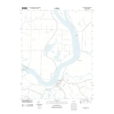 2011 Uniontown2011 Print · USGSCovers Union County, including Uniontown, Posey County, and other nearby areas
 - 2011 Map of Wabash Island, 2011 Print
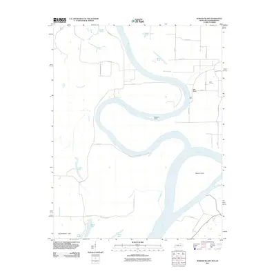 2011 Wabash Island2011 Print · USGSCovers Union County, including Oak Grove, Posey County, and other nearby areas
 - 2013 Map of Grove Center, 2013 Print
 2013 Grove Center2013 Print · USGSCovers Union County, including Raleigh, Grove Center, and other nearby areas
 - 2013 Map of Wabash Island, 2013 Print
 2013 Wabash Island2013 Print · USGSCovers Union County, including Oak Grove, Posey County, and other nearby areas
 - 2013 Map of Dekoven, 2013 Print
 2013 Dekoven2013 Print · USGSCovers Union County, including Sturgis, Curlew, and other nearby areas
 - 2013 Map of Sturgis, 2013 Print
 2013 Sturgis2013 Print · USGSCovers Union County, including Sturgis, Hazel, and other nearby areas
 - 2013 Map of Bordley, 2013 Print
 2013 Bordley2013 Print · USGSCovers Union County, including Shelton, Free Union, and other nearby areas
 - 2013 Map of Dixon, 2013 Print
 2013 Dixon2013 Print · USGSCovers Union County, including Dixon, Wanamaker, and other nearby areas
 - 2013 Map of Poole, 2013 Print
 2013 Poole2013 Print · USGSCovers Union County, including Corydon, Rock Springs, and other nearby areas
 - 2013 Map of Morganfield, 2013 Print
 2013 Morganfield2013 Print · USGSCovers Union County, including Morganfield, Hamner, and other nearby areas
 - 2013 Map of Smith Mills, 2013 Print
 2013 Smith Mills2013 Print · USGSCovers Union County, including Smith Mills, Hitesville, and other nearby areas
 - 2013 Map of Waverly, 2013 Print
 2013 Waverly2013 Print · USGSCovers Union County, including Waverly, Flournoy, and other nearby areas
Showing maps 1-25 of 75
Top cities of Union County
Frequently asked questions
- What are the different types of historical maps available for Union County?
- What is the oldest map of Union County?
- Where can I purchase historical maps of Union County for my home or office?
- Where can I download high-res historical maps of Union County?
- Are there historical topographic maps available for Union County?
- Is there historical aerial imagery available for Union County?
- Where are historical maps of Union County sourced from?