2010s Maps of Union County, Kentucky
Explore 58 historic maps of Union County from the 2010s. These maps offer a rare glimpse into what life looked like during the 2010s — showing old roads, neighborhoods, homes, and landmarks that have changed or disappeared over time.
Whether you're researching your family's past, planning a metal detecting trip, or studying how Union County's landscape evolved across the 2010s, these high-resolution maps are a powerful tool for exploring the history of this region.
- Focus on a specific era: All maps on this page are from the 2010s, giving you a focused view of this time period.
- See what’s changed: Compare century-old streets, trails, and buildings to today's modern landscape using overlays and satellite layers.
- Research with precision: Use these maps for genealogy, historical research, land use analysis, or educational projects.
- View, download, or print: Maps are fully viewable online in high resolution, and can be downloaded or printed for your own records.
Start exploring Union County's history through authentic maps from the 2010s. This is your window into the past.
Union County, KY maps
(58)- 2010 Map of Waverly, 2010 Print
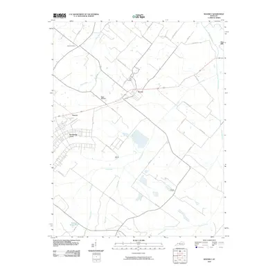 2010 Waverly2010 Print · USGSUnion County at the turn of the decade shows a landscape shaped by rural tradition and expanding institutional centers. Researchers can trace family-named roads to historic burial sites like McClure Cemetery or locate the sprawling Breckinridge Center and the community of Waverly.
 - 2010 Map of Bordley, 2010 Print
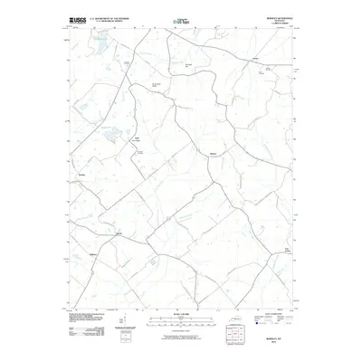 2010 Bordley2010 Print · USGSThis part of rural Webster County at the turn of the decade is defined by the high ground of Persimmon Ridge and quiet crossroad settlements. Researchers can trace family history through sites like Holeman Cemetery or the historic hamlets of Bordley and Shelton.
 - 2010 Map of Sturgis, 2010 Print
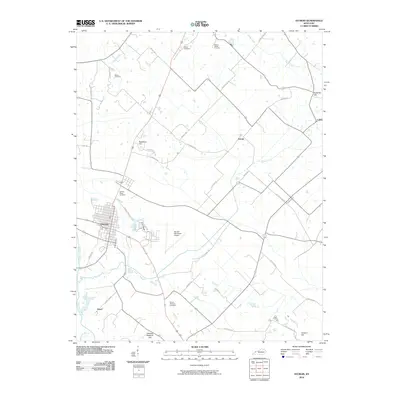 2010 Sturgis2010 Print · USGSSturgis and the rural expanses of Union County are captured here at the start of the 2010s. Researchers can trace family history through several burial sites like Salem Cemetery or locate old community centers at Bethel and Hazel.
 - 2010 Map of Blackford, 2010 Print
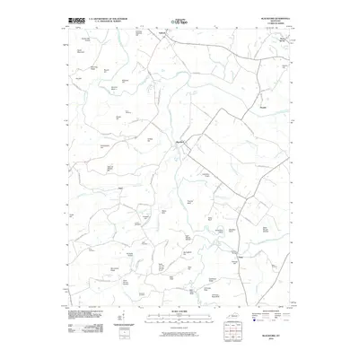 2010 Blackford2010 Print · USGSCrittenden County's river valleys and hills are captured in this 2010 survey as the rural communities of Blackford and Sullivan continue their long history along the Tradewater River. Local historians can trace family roots through numerous sites like Nunn Cemetery, Tosh Cemetery, and the distinctive Carding Machine Hill.
 - 2010 Map of Poole, 2010 Print
 2010 Poole2010 Print · USGSHenderson County's rural landscape is captured here in the early 2000s, centered on the historic community of Corydon. Genealogists can locate family-named landmarks and burial sites like Hughes Cemetery, Tapp Cemetery, and the small settlement of Dixie.
 - 2010 Map of Dixon, 2010 Print
 2010 Dixon2010 Print · USGSDixon and its surrounding hamlets in Webster County are captured here during a period of modern rural continuity. Researchers can trace ancestral connections through family-named landmarks like Townsend Cemetery and old roadbeds such as Townsend Pike and Vanderburg-Winstead Rd.
 - 2010 Map of Grove Center, 2010 Print
 2010 Grove Center2010 Print · USGSThe Ohio River bottoms in Union County are captured here in the early twenty-first century, showing a landscape shaped by water and agriculture. Researchers can trace rural lineages through local landmarks like The Rocks, Spring Grove, and the settlement at Blackburn.
 - 2010 Map of Morganfield, 2010 Print
 2010 Morganfield2010 Print · USGSThe Union County seat and its surrounding family lands are captured here at the start of the new millennium. Researchers can trace the heritage of the region through numerous family burial sites, including Sugg Cemetery and Williams Cemetery, and the hills around Mortons Lake.
 - 2010 Map of Mount Vernon, 2010 Print
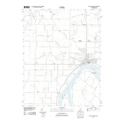 2010 Mount Vernon2010 Print · USGSThe Ohio River bank at Mount Vernon and the rural Posey County interior are captured here in the early 21st century. Researchers can locate numerous family burial sites like Alldredge Cemetery and trace the local geography from Dead Mans Crossing to Grassy Pond.
 - 2010 Map of Smith Mills, 2010 Print
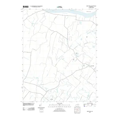 2010 Smith Mills2010 Print · USGSHenderson County, Kentucky, is documented here in the early twenty-first century as a landscape of river-fed bottomlands and rural crossroads. Genealogists and local historians can trace family-named sites like Smith Mills Cemetery, Hitesville, and Burbanks Cemetery.
 - 2010 Map of Shawneetown, 2010 Print
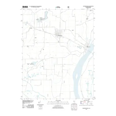 2010 Shawneetown2010 Print · USGSSoutheastern Illinois near the Kentucky border comes to life in this study of the riverfront and its uplands during the early 2000s. Researchers can trace the layout of Old Shawneetown along the Ohio River or locate family roots at Hogan Cemetery and Westwood Cemetery.
 - 2011 Map of Dekoven, 2011 Print
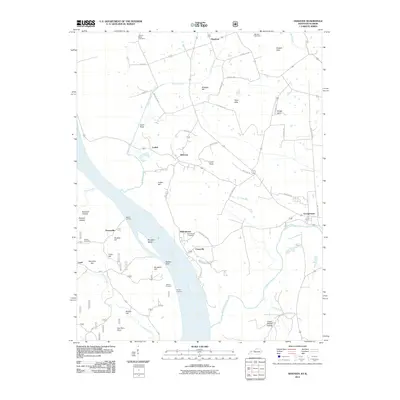 2011 Dekoven2011 Print · USGSWestern Kentucky's riverfront life is captured here in the early twenty-first century along the banks of the Ohio River. Researchers can trace the layout of riverside communities like Caseyville and Dekoven or locate local landmarks such as Anvil Rock and the Odd Fellows Cemetery.
 - 2011 Map of Saline Mines, 2011 Print
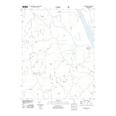 2011 Saline Mines2011 Print · USGSThe Illinois-Kentucky riverfront comes into sharp focus during the early twenty-first century, centered on the confluence of the Saline River and the Ohio River. Researchers can trace the region's industrial and family history through numerous sites like the Mahoning Mines, Saline Landing, and Smyrna Cemetery.
 - 2011 Map of Uniontown, 2011 Print
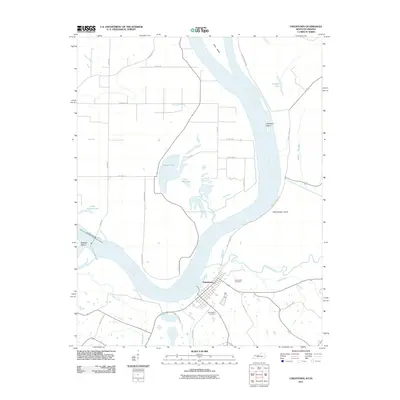 2011 Uniontown2011 Print · USGSThe Ohio River dominates this river-bottom landscape at the turn of the decade, showing the town and its surrounding wetlands. Genealogists can trace family sites near Uniontown Cemetery or follow local history along Union Ferry Rd and Hamilton Mine Rd.
 - 2011 Map of Wabash Island, 2011 Print
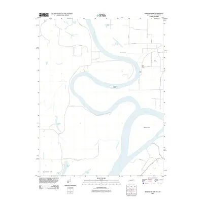 2011 Wabash Island2011 Print · USGSThe confluence of the Ohio and Wabash Rivers defines this tri-state border landscape at the start of the twenty-first century. Researchers can trace rural settlement patterns and river geography through features like Oak Grove, Bone Bank, and the isolated Rowe Cemetery.
 - 2013 Map of Grove Center, 2013 Print
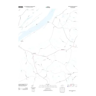 2013 Grove Center2013 Print · USGSUnion County, Kentucky, is captured in this recent survey during a period of agricultural stability along the Ohio River. Researchers can trace old family road names and locate rural hubs like Grove Center, Spring Grove, and the riverfront landing at Raleigh.
 - 2013 Map of Wabash Island, 2013 Print
 2013 Wabash Island2013 Print · USGSThe Wabash and Ohio rivers converge in this Indiana bottomland during the early twenty-first century, revealing a landscape of shifting sloughs and islands. Researchers can locate the Rowe Cem, trace the sharp bends near Bone Bank, and explore the maze of waterways around Mackeys Island.
 - 2013 Map of Dekoven, 2013 Print
 2013 Dekoven2013 Print · USGSThe Ohio River shoreline and its confluence with the Tradewater River come alive in this early 21st-century survey. Researchers can locate historic river access points like Sellers Landing and trace family roots through sites such as Odd Fellows Cem or the settlement at Caseyville.
 - 2013 Map of Sturgis, 2013 Print
 2013 Sturgis2013 Print · USGSUnion County, Kentucky, is captured in the early twenty-first century as a network of rural settlements along the Tradewater River. Researchers can trace local property access and community boundaries through locales like Arnold, Pride, and Cullen.
 - 2013 Map of Bordley, 2013 Print
 2013 Bordley2013 Print · USGSWebster County's agricultural heartland is documented here in the early 2000s, showing a landscape of scattered settlements and ridgelines. Researchers can trace family names and local landmarks through sites like Bordley, Persimmon Ridge, and CHALYBEATE CEMETERY RD.
 - 2013 Map of Dixon, 2013 Print
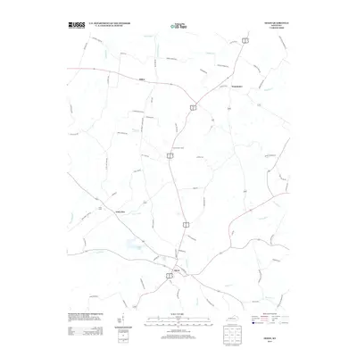 2013 Dixon2013 Print · USGSDixon and its surrounding Webster County crossroads are captured in the early twenty-first century, showing a landscape defined by family landholdings and creek drainages. Researchers can trace local lineage through features like Dixon Lookout Tower, Camp Clark, and family-named routes like Dorris Melton Rd.
 - 2013 Map of Poole, 2013 Print
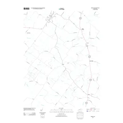 2013 Poole2013 Print · USGSHenderson County's rural heartland is documented here in the early 2010s, showing the agricultural grids and creek-side settlements of West Kentucky. Genealogists and historians can trace family-named routes like Lod Powell Rd and Jane Posey Rd through Corydon, Dixie, and Poole.
 - 2013 Map of Morganfield, 2013 Print
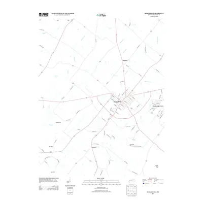 2013 Morganfield2013 Print · USGSMorganfield and the surrounding Union County countryside are documented here during the early twenty-first century. Researchers can trace family-named roads and rural communities like Hamner and Harding or explore the terrain of the Chalybeate Hills.
 - 2013 Map of Smith Mills, 2013 Print
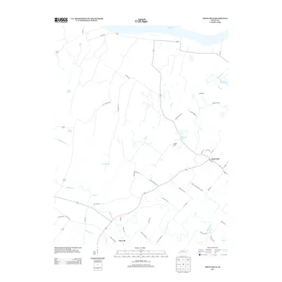 2013 Smith Mills2013 Print · USGSHenderson County's riverfront and rural interior are mapped here in the early twenty-first century as they border the Ohio River. Researchers can trace old family routes and land patterns near Smith Mills and Hitesville, or locate landmarks like Mill Pond and the Cabell Hills.
 - 2013 Map of Waverly, 2013 Print
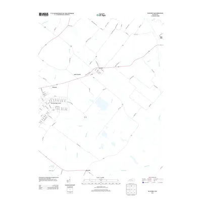 2013 Waverly2013 Print · USGSUnion County, Kentucky, remained a landscape of agriculture and scattered crossroads communities in the early 2000s. Researchers can locate family landmarks along Waverly Hitesville Rd or trace the development of Breckinridge Center and King Mills.
Showing maps 1-25 of 58
Top cities of Union County
Frequently asked questions
- What are the different types of historical maps available for Union County?
- What is the oldest map of Union County?
- Where can I purchase historical maps of Union County for my home or office?
- Where can I download high-res historical maps of Union County?
- Are there historical topographic maps available for Union County?
- Is there historical aerial imagery available for Union County?
- Where are historical maps of Union County sourced from?