2000s (21st Century) Maps of Washington County, Kentucky
Explore 50 historic maps of Washington County from the 2000s (21st Century). These maps offer a rare glimpse into what life looked like during the 2000s — showing old roads, neighborhoods, homes, and landmarks that have changed or disappeared over time.
Whether you're researching your family's past, planning a metal detecting trip, or studying how Washington County's landscape evolved across the 2000s, these high-resolution maps are a powerful tool for exploring the history of this region.
- Focus on a specific era: All maps on this page are from the 2000s, giving you a focused view of this time period.
- See what’s changed: Compare century-old streets, trails, and buildings to today's modern landscape using overlays and satellite layers.
- Research with precision: Use these maps for genealogy, historical research, land use analysis, or educational projects.
- View, download, or print: Maps are fully viewable online in high resolution, and can be downloaded or printed for your own records.
Start exploring Washington County's history through authentic maps from the 2000s. This is your window into the past.
Washington County, KY maps
(50)- 2010 Map of Mackville, 2010 Print
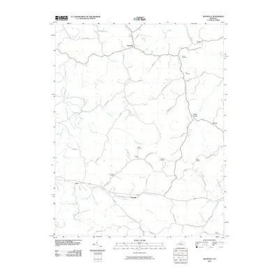 2010 Mackville2010 Print · USGSIn the heart of Kentucky during the early 2000s, this area showcases a rural landscape defined by historic family settlements and winding creek beds. Researchers can locate numerous family burial grounds like McMullin Cemetery and Holderman Cemetery near the community of Mackville.
 - 2010 Map of Maud, 2010 Print
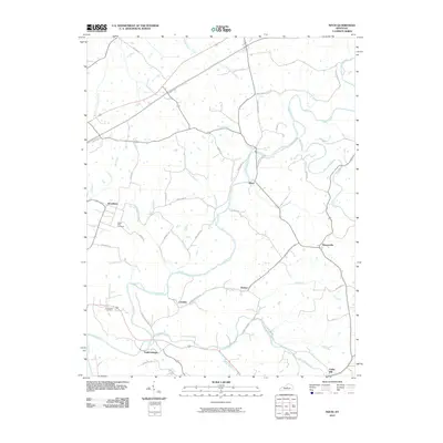 2010 Maud2010 Print · USGSThe Nelson County countryside comes into focus at the start of the 2010s, showing a landscape defined by winding creeks and rural crossroads. Genealogists and historians can locate family landmarks like Poplar Flats Cemetery and the settlements of Fredericktown and Maud.
 - 2010 Map of Loretto, 2010 Print
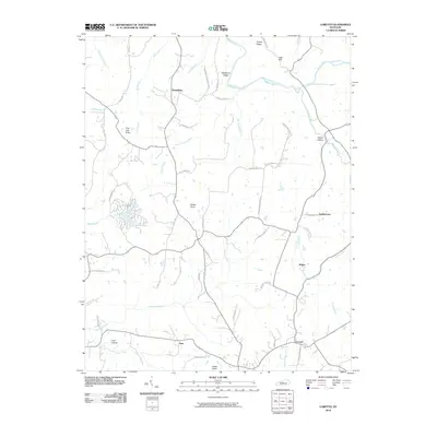 2010 Loretto2010 Print · USGSMarion County's rural character is well-preserved in this early 21st-century record of Loretto and its surrounding knobs. Researchers can trace historic family connections through landmarks like Wimpsett Schoolhouse Rd and settlements at Nerinx and Dant.
 - 2010 Map of Cardwell, 2010 Print
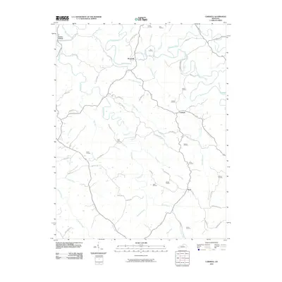 2010 Cardwell2010 Print · USGSWashington County at the turn of the decade remains a landscape of deep-rooted family history and winding river valleys. Researchers can trace ancestral lines through numerous small burial grounds like Glens Creek Cemetery and Prather Cemetery near the Chaplin River.
 - 2010 Map of Brush Grove, 2010 Print
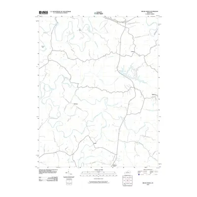 2010 Brush Grove2010 Print · USGSThis rural Washington County landscape in 2010 shows the headwaters of the Chaplin River and Beech Fork before they join larger systems. Family-history researchers can trace ancestral lands near Hardesty, Litsey, and the family-named corridors of Haydon Bros Ln and Simms Ln.
 - 2010 Map of Saint Catharine, 2010 Print
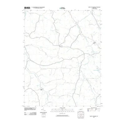 2010 Saint Catharine2010 Print · USGSKentucky's bourbon country and rural landscapes are captured here during the first decade of the new millennium. Researchers can trace historic routes and landmarks like Old Elizabethtown Rd, the Springfield Reservoir, and the famed Maker's Mark Rd.
 - 2010 Map of Chaplin, 2010 Print
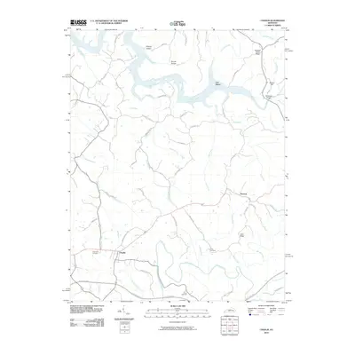 2010 Chaplin2010 Print · USGSAnderson and Nelson Counties are shown here during the early twenty-first century, featuring the rural settlements of Chaplin and Van Buren. Genealogists can trace family landmarks like Burns Cemetery, Highview Cemetery, and the Goodnight Bridge over the Salt River.
 - 2010 Map of Ashbrook, 2010 Print
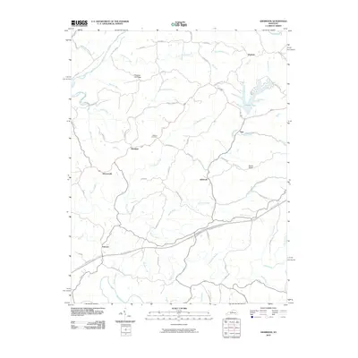 2010 Ashbrook2010 Print · USGSThe rural Anderson County landscape is captured here in the early twenty-first century, showing a network of small hamlets and winding creeks. Researchers can trace family sites near Leathers Cemetery or locate old community centers like Ashbrook, Sinai, and Johnsonville.
 - 2010 Map of Springfield, 2010 Print
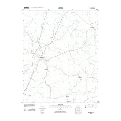 2010 Springfield2010 Print · USGSSpringfield and its surrounding Washington County hamlets are captured here in the early twenty-first century. Researchers can trace family roots through several local burial sites like Saint Dominics Cemetery or explore the small rural hubs of Jimtown and Rineltown.
 - 2010 Map of Bardstown, 2010 Print
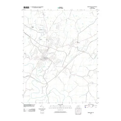 2010 Bardstown2010 Print · USGSBardstown and its surrounding Kentucky countryside are captured here at a moment of modern growth and deep-seated local tradition. Genealogists and historians can trace family locations near Saint Josephs Cemetery, the settlement at Nazareth, or along the banks of Beech Fork.
 - 2013 Map of Mackville, 2013 Print
 2013 Mackville2013 Print · USGSMackville and the surrounding Washington County hills are shown in this modern survey of the region's historic rural layout. Researchers can trace family roots through numerous burial sites including Mc Mullin Cem, Holderman Cem, and Cull Cem.
 - 2013 Map of Cardwell, 2013 Print
 2013 Cardwell2013 Print · USGSThe rural communities of Washington County are captured here in the early 2010s, centered on the Chaplin River. Genealogists and local historians can trace family roots through numerous burial sites like Glens Creek Cem, Bethel Cem, and Royalty Cem.
 - 2013 Map of Springfield, 2013 Print
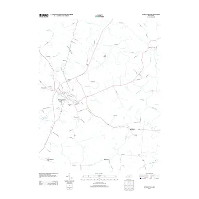 2013 Springfield2013 Print · USGSSpringfield and its neighboring hamlets are captured here during a period of modern growth in the early twenty-first century. Genealogists can trace family connections through sites like Cemetery Hill, Saint Dominics Cem, and the small community of Jimtown.
 - 2013 Map of Chaplin, 2013 Print
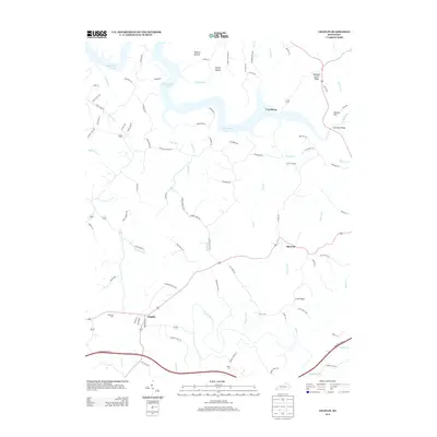 2013 Chaplin2013 Print · USGSThe countryside surrounding Chaplin and Van Buren is documented here in the early twenty-first century as the landscape spans the northern reaches of the Chaplin River. Researchers can locate local landmarks like Highview Cem, Driscol Hill, and the winding shores of Taylorsville Lake.
 - 2013 Map of Bardstown, 2013 Print
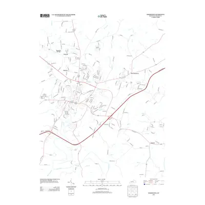 2013 Bardstown2013 Print · USGSBardstown and its outlying communities are shown in great detail during the early 2010s. Researchers can locate family heritage sites like Saint Josephs Cem or trace local landmarks such as Early Times and the Bardstown Reservoir.
 - 2013 Map of Saint Catharine, 2013 Print
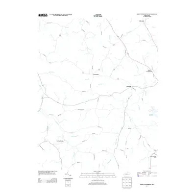 2013 Saint Catharine2013 Print · USGSMarion and Washington counties appear as a thriving agricultural landscape in the early twenty-first century. Researchers can trace rural lineages through family-named landmarks and small hubs like Bearwallow, Cisselville, and the Springfield Reservoir.
 - 2013 Map of Ashbrook, 2013 Print
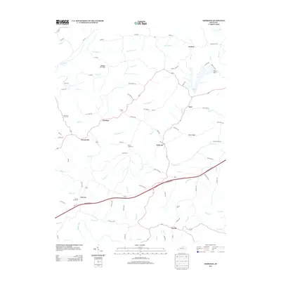 2013 Ashbrook2013 Print · USGSAnderson County's rural character is preserved in this recent survey of the Kentucky landscape. Local historians can trace family ties at Pennys Chapel Cem and Leathers Cem or explore the development around Beaver Lake and the settlement of Ashbrook.
 - 2013 Map of Brush Grove, 2013 Print
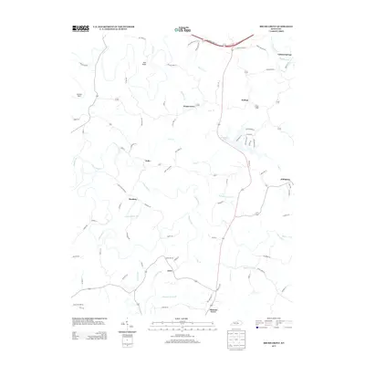 2013 Brush Grove2013 Print · USGSWashington County in the early twenty-first century remains a landscape of high ridges and winding creek bottoms. Genealogists and local historians can trace family land ties near Hardesty, Litsey, and Polin, or follow the waters of the Beech Fork and Willisburg Lake.
 - 2013 Map of Maud, 2013 Print
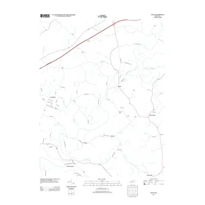 2013 Maud2013 Print · USGSNelson County's rural landscape is captured here in the early twenty-first century, showing the established communities of the Kentucky interior. Genealogists can locate family burial grounds like Settle Cem and Moore Cem or trace the early paths of Old Fredericktown-Bardstown Rd.
 - 2013 Map of Loretto, 2013 Print
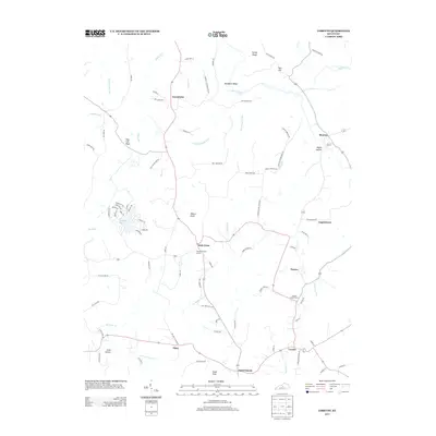 2013 Loretto2013 Print · USGSLoretto and the central Kentucky foothills are captured in the early 2000s, showing a landscape of Catholic heritage and rural family farms. Genealogists can locate family-named sites like Paschal Ballard Ln and historic burial sites such as the Thomas Burying Ground and Smocks Chapel Cem.
 - 2016 Map of Springfield, 2016 Print
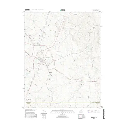 2016 Springfield2016 Print · USGSSpringfield and its surrounding Washington County hamlets are captured here during a period of modern expansion. Researchers can trace local lineage through sites like Saint Dominics Cem or explore the smaller footprints of Jimtown and Thompsonville.
 - 2016 Map of Saint Catharine, 2016 Print
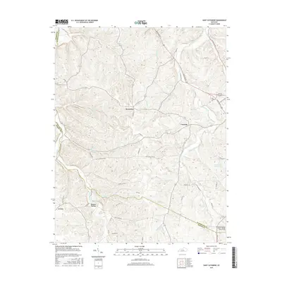 2016 Saint Catharine2016 Print · USGSMarion and Washington counties are documented here in the mid-2010s, showcasing a rural landscape defined by its deep creek valleys and historic road networks. Researchers can trace family-named routes like Boss Luckett Rd or locate landmarks such as Loretto and the Springfield Reservoir.
 - 2016 Map of Cardwell, 2016 Print
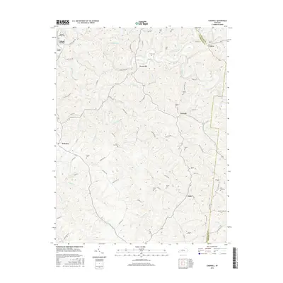 2016 Cardwell2016 Print · USGSThe rural border of Washington and Mercer counties comes into focus in this recent survey. Genealogists can trace family heritage through numerous burial sites like Glens Creek Cem, Royalty Cem, and Adkinson Cem near the banks of the Chaplin River.
 - 2016 Map of Loretto, 2016 Print
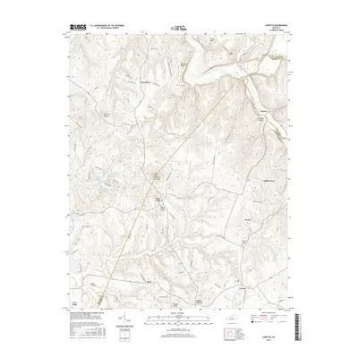 2016 Loretto2016 Print · USGSMarion and Nelson counties come into focus during the mid-2010s, showcasing the deeply rooted rural communities of central Kentucky. Genealogists and historians can trace family lines and land through sites like Holy Cross, Nerinx, and the Thomas Burying Ground.
 - 2016 Map of Brush Grove, 2016 Print
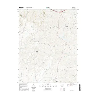 2016 Brush Grove2016 Print · USGSWashington County in the mid-2010s is a landscape of established rural communities and winding ridge roads. Genealogists and local historians can trace family locations near Hardesty, Litsey, and the Pleasant Grove Church Cem along the Beech Fork.
Showing maps 1-25 of 50
Top cities of Washington County
Frequently asked questions
- What are the different types of historical maps available for Washington County?
- What is the oldest map of Washington County?
- Where can I purchase historical maps of Washington County for my home or office?
- Where can I download high-res historical maps of Washington County?
- Are there historical topographic maps available for Washington County?
- Is there historical aerial imagery available for Washington County?
- Where are historical maps of Washington County sourced from?