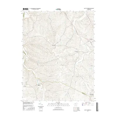
2016 Map of Saint Catharine
USGS Topo · Published 2016About this map
Loretto and the surrounding farmland of Nelson, Washington, and Marion counties are defined by a complex network of waterways feeding into Hardins Creek and Cartwright Creek. The landscape is etched with historical road names like Old Elizabethtown Rd and Makers Mark Rd, reflecting the regional heritage of transport and industry. Small settlements such as Burkes Spring, Cisselville, and Bearwallow are scattered across the terrain, while the northeast corner is anchored by the Saint Catharine Coll campus. Along the southern edge, the Lebanon Springfield Airport - George Hoerter Field and the Springfield Reservoir mark the intersection of modern infrastructure and natural resources, providing a detailed view of the rural Kentucky interior in the mid-2010s.
Find a feature on this map
56 named features on this map. Tap any name to fly to it.
Don’t see what you’re looking for? This feature index may not catch every label — zoom into the map to look around manually.
Map Details
Editions of this 2016 Saint Catharine Map
This is the sole edition of this map. No revisions or reprints were ever made.
Other maps of this area

1953 · Loretto
USGS Topo · 1:24,000

1953 · Brush Grove
USGS Topo · 1:24,000

1953 · Maud
USGS Topo · 1:24,000

1953 · Saint Catharine
USGS Topo · 1:24,000

1953 · Lebanon East
USGS Topo · 1:24,000

1953 · Bardstown
USGS Topo · 1:24,000

1953 · Springfield
USGS Topo · 1:24,000

1953 · Raywick
USGS Topo · 1:24,000

1953 · Lebanon West
USGS Topo · 1:24,000

1957 · Winchester
USGS Topo · 1:250,000