2010s Maps of Wolfe County, Kentucky
Explore 40 historic maps of Wolfe County from the 2010s. These maps offer a rare glimpse into what life looked like during the 2010s — showing old roads, neighborhoods, homes, and landmarks that have changed or disappeared over time.
Whether you're researching your family's past, planning a metal detecting trip, or studying how Wolfe County's landscape evolved across the 2010s, these high-resolution maps are a powerful tool for exploring the history of this region.
- Focus on a specific era: All maps on this page are from the 2010s, giving you a focused view of this time period.
- See what’s changed: Compare century-old streets, trails, and buildings to today's modern landscape using overlays and satellite layers.
- Research with precision: Use these maps for genealogy, historical research, land use analysis, or educational projects.
- View, download, or print: Maps are fully viewable online in high resolution, and can be downloaded or printed for your own records.
Start exploring Wolfe County's history through authentic maps from the 2010s. This is your window into the past.
Wolfe County, KY maps
(40)- 2010 Map of Hazel Green, 2010 Print
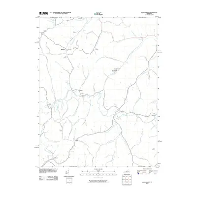 2010 Hazel Green2010 Print · USGSThe Red River valley in Wolfe County is documented here at the start of the 21st century, showing a rural landscape rich in family history. Local researchers can trace family-named sites like Peiratt Cemetery, Flat Rock Ford, and the small settlement of Maytown.
 - 2010 Map of Cannel City, 2010 Print
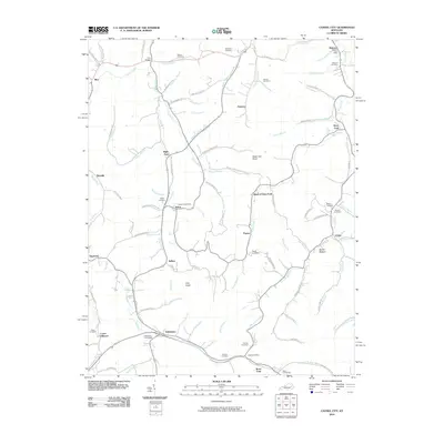 2010 Cannel City2010 Print · USGSThe rural valleys of Wolfe and Morgan counties are captured here in the early twenty-first century, showing a landscape shaped by creek-side settlements. Genealogists can trace family landmarks and burial sites like Ferguson Cemetery, Greear Cemetery, and the Insko Post Office.
 - 2010 Map of Jackson, 2010 Print
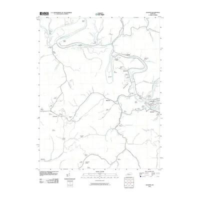 2010 Jackson2010 Print · USGSBreathitt County’s rugged river bends and mountain hollows are documented here during the early twenty-first century. Genealogists and local historians can trace family land via numerous burial sites like Gabbard Flat Cemetery or explore landmarks like Panbowl Lake and the Chenowee Tunnel.
 - 2010 Map of Landsaw, 2010 Print
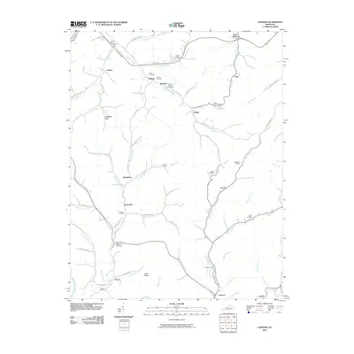 2010 Landsaw2010 Print · USGSBreathitt County in the early twenty-first century remains a landscape of deep hollows and family-named creeks. Genealogists can locate ancestral sites at the Centers-Rose Cemetery, Bethany Post Office, or the small settlement of Hollonville.
 - 2010 Map of Lee City, 2010 Print
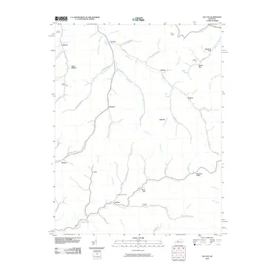 2010 Lee City2010 Print · USGSWolfe County in the early twenty-first century remains defined by its winding river valleys and rural hamlets. Local historians can trace family ties at the Field Branch Cemetery and Elam Cemetery or locate the site of the Ezel Lookout Tower.
 - 2010 Map of Seitz, 2010 Print
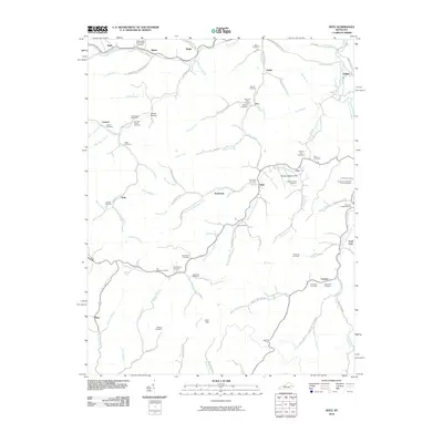 2010 Seitz2010 Print · USGSBreathitt County in the early twenty-first century remains a landscape of tightly-knit valley communities and winding waterways. Genealogists can trace deep family roots through numerous local sites like the William Big Bill Patriotic Cemetery and Clay Arnett Cemetery.
 - 2011 Map of Slade, 2011 Print
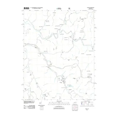 2011 Slade2011 Print · USGSEastern Kentucky's river-cut terrain is shown here during a period of modern recreation and industry. Researchers can trace family roots at Napier Cemetery or locate old community hubs like the Nada Lombard Post Office and the Big Sinking Oil Field.
 - 2011 Map of Zachariah, 2011 Print
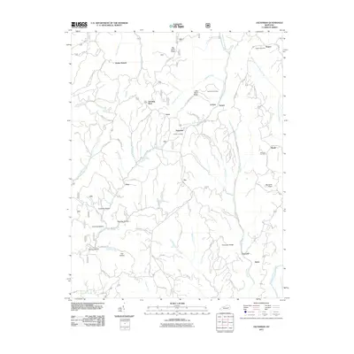 2011 Zachariah2011 Print · USGSEastern Kentucky's ridge-and-hollow country is documented here in the early twenty-first century, showing the rural settlements of Zachariah and Rogers. Genealogists can locate family landmarks like Thacker Cemetery and the Rogers Post Office tucked among the steep terrain of Big Bend Ridge.
 - 2011 Map of Pomeroyton, 2011 Print
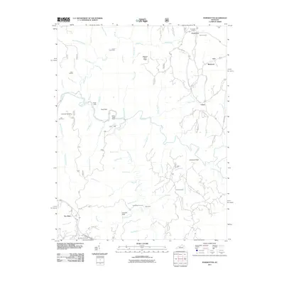 2011 Pomeroyton2011 Print · USGSWolfe County’s rugged plateau comes into focus here in the early twenty-first century, showing a landscape shaped by the Red River. Researchers can trace family history at the Pomeroyton Cemetery or locate landmarks like Indian Stairway and Valeria.
 - 2011 Map of Campton, 2011 Print
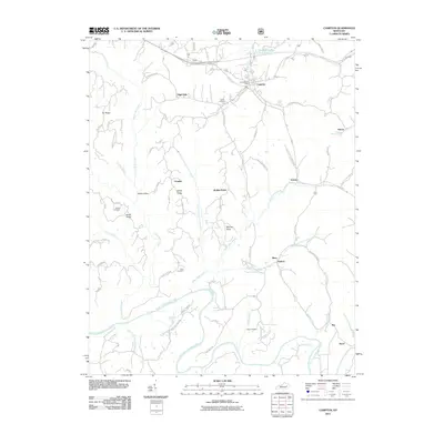 2011 Campton2011 Print · USGSWolfe County at the start of the 2010s reveals a landscape of isolated ridges and traditional river valley settlements. Genealogists can trace family landmarks like Evans Cemetery and Cable Cemetery or the rural roads connecting Vortex and Antioch.
 - 2013 Map of Cannel City, 2013 Print
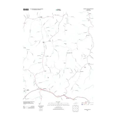 2013 Cannel City2013 Print · USGSWolfe County’s hollows and creek-side communities are captured here in the early 2000s, showing a landscape deeply shaped by its family-named landmarks. Genealogists can trace rural family plots like Combs Cem and Taulbee Cem or locate the site of The Chapel.
 - 2013 Map of Jackson, 2013 Print
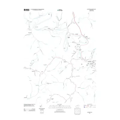 2013 Jackson2013 Print · USGSThe river loops and steep hollows of Breathitt County are shown here in the early twenty-first century. Researchers can trace family history through dozens of local sites like Gabbard Flat Cem, the Chenowee Tunnel, and the community of Elkatawa.
 - 2013 Map of Seitz, 2013 Print
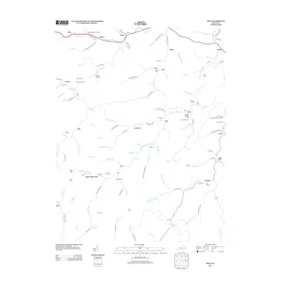 2013 Seitz2013 Print · USGSIn this 2013 survey of Breathitt County, the hollows and creek beds of the Kentucky highlands reveal a deep-rooted family history. Researchers can find dozens of family-named burial grounds, including the William Big Bill Patriotic Cem, the Gabriel Jack Cem, and the Jackson L Arnett Cem.
 - 2013 Map of Pomeroyton, 2013 Print
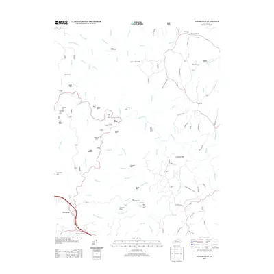 2013 Pomeroyton2013 Print · USGSWolfe County’s rugged terrain is revealed in this early twenty-first century survey of the Red River corridor and its surrounding ridges. Researchers can locate family burial sites at Catron Cem or trace the geography of unique landmarks like Sky Bridge and the Indian Stairway.
 - 2013 Map of Campton, 2013 Print
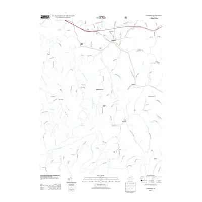 2013 Campton2013 Print · USGSWolfe County, Kentucky, is shown in this early twenty-first-century survey at the heart of the Cumberland Plateau. Researchers can trace family history through several remote burial grounds like Evans Cem and Crow Cem, or locate small settlements such as Vortex and High Falls.
 - 2013 Map of Landsaw, 2013 Print
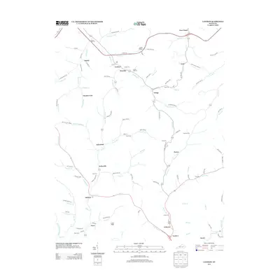 2013 Landsaw2013 Print · USGSBreathitt County in the early twenty-first century remains defined by its deep-hollow settlements and family burial grounds. Genealogists can trace family names through the Centers Rose Cem and Puckett Cem or explore the rural hubs of Bethany PO and Hollonville.
 - 2013 Map of Hazel Green, 2013 Print
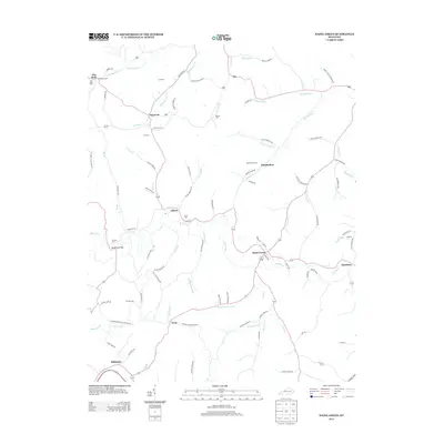 2013 Hazel Green2013 Print · USGSWolfe County at the start of the 2010s reveals a landscape where family history and geography are inseparable. Trace ancestral roots through numerous burial sites like Peiratt Cem and Brewer Cem, or locate historic river crossings at Flat Rock Ford and Spradling Bridge.
 - 2013 Map of Lee City, 2013 Print
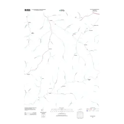 2013 Lee City2013 Print · USGSWolfe County at the start of the 2010s reveals a landscape defined by the winding Red River and its many mountain forks. Local researchers can trace family roots through sites like Gibbs Cem and Little Cem or locate the Ezel Lookout Tower.
 - 2013 Map of Zachariah, 2013 Print
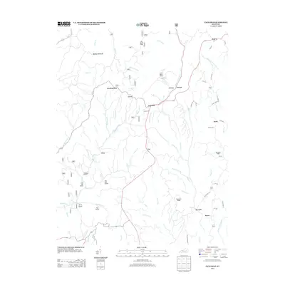 2013 Zachariah2013 Print · USGSWolfe County communities like Standing Rock and Leeco are shown in detail during the early twenty-first century. Genealogists can locate family sites such as Thacker Cem and Whisman Cem or trace the winding course of Hell for Certain Cr.
 - 2013 Map of Slade, 2013 Print
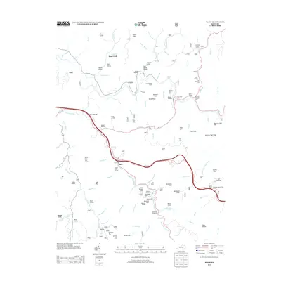 2013 Slade2013 Print · USGSWolfe County is shown here in the early twenty-first century as a landscape of dramatic natural geology and modern infrastructure. Researchers can trace family names through landmarks like Amburgy Hollow or locate sites like Nada Tunnel and the Big Sinking Oil Field.
 - 2016 Map of Cannel City, 2016 Print
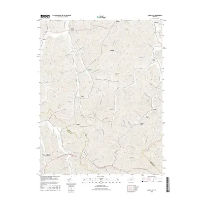 2016 Cannel City2016 Print · USGSWolfe and Morgan counties are shown in the twenty-first century, where modern highways meet traditional Appalachian valley settlements. Researchers can trace family history through locations like Lower Gillmore, Helechawa, and the namesake Cannel City.
 - 2016 Map of Pomeroyton, 2016 Print
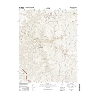 2016 Pomeroyton2016 Print · USGSWolfe and Menifee counties are shown in detail during the mid-2010s, highlighting the unique sandstone formations of the Red River Gorge area. Hikers and local historians can trace the paths to Sky Bridge, Cloud Splitter, and Rock Bridge Arch near the settlement of Valeria.
 - 2016 Map of Seitz, 2016 Print
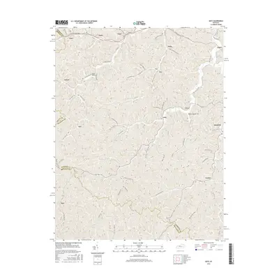 2016 Seitz2016 Print · USGSBreathitt and Magoffin counties are documented here in the mid-2010s, showcasing the intricate topography of eastern Kentucky. Genealogists and historians can trace family roots through mountain communities like Seitz, Bays, and the family-named Arnett Hollow.
 - 2016 Map of Jackson, 2016 Print
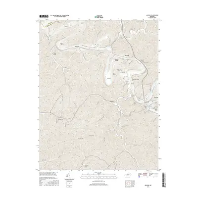 2016 Jackson2016 Print · USGSBreathitt County's winding river valleys and rail tunnels are captured here in the mid-2010s, showcasing the traditional settlement patterns of the Kentucky hills. Researchers can trace family history through sites like Arie Taulbee Cemetery Rd or locate rural communities such as Chenowee, Elkatawa, and Wolverine.
 - 2016 Map of Zachariah, 2016 Print
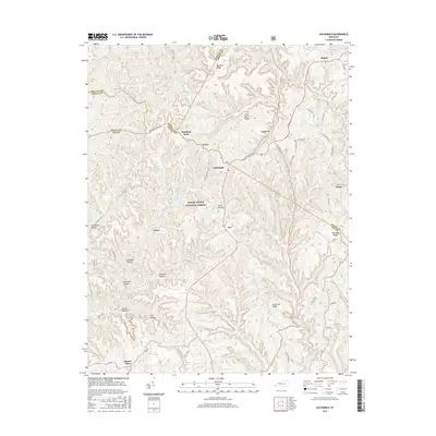 2016 Zachariah2016 Print · USGSThe rural landscapes of Wolfe and Lee counties are captured here in the mid-2010s, showcasing the high-ridge settlements and deep hollows of the Kentucky hills. Genealogists can trace family locations near Standing Rock, Mount Olive, and along Shumaker Ridge Rd.
Showing maps 1-25 of 40
Top cities of Wolfe County
Frequently asked questions
- What are the different types of historical maps available for Wolfe County?
- What is the oldest map of Wolfe County?
- Where can I purchase historical maps of Wolfe County for my home or office?
- Where can I download high-res historical maps of Wolfe County?
- Are there historical topographic maps available for Wolfe County?
- Is there historical aerial imagery available for Wolfe County?
- Where are historical maps of Wolfe County sourced from?