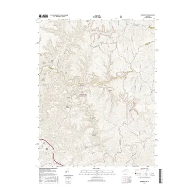
2016 Map of Pomeroyton
USGS Topo · Published 2016About this map
Pomeroyton and Valeria sit at the northern edge of a landscape defined by the deep incisions and sandstone formations of the Daniel Boone National Forest. This 2016 survey documents the intricate geology of the Red River Gorge area, where numerous natural arches and rock features are clustered along the ridges. Notable formations include Cloud Splitter, Sky Bridge, and Angel Windows, as well as Rock Bridge Arch and Castle Arch.
Find a feature on this map
55 named features on this map. Tap any name to fly to it.
Don’t see what you’re looking for? This feature index may not catch every label — zoom into the map to look around manually.
Map Details
Editions of this 2016 Pomeroyton Map
This is the sole edition of this map. No revisions or reprints were ever made.
Other maps of this area

1889 · Salyersville
USGS Topo · 1:125,000

1891 · Salyersville
USGS Topo · 1:125,000

1892 · Beattyville
USGS Topo · 1:125,000

1899 · Salyersville
USGS Topo · 1:125,000

1951 · Landsaw
USGS Topo · 1:24,000

1951 · Ezel
USGS Topo · 1:24,000

1951 · Hazel Green
USGS Topo · 1:24,000

1951 · Pomeroyton
USGS Topo · 1:24,000

1952 · Scranton
USGS Topo · 1:24,000

1952 · Frenchburg
USGS Topo · 1:24,000