Old Maps of Pawnee, Louisiana for Academic Research
Study the evolution of Pawnee with 14 high-resolution historic maps. Whether you're teaching, researching, or modeling changes in land use, these maps provide essential visual documentation of urban, environmental, and geographic change.
- Analyze long-term change: Track patterns in development, transportation, and natural features.
- Ideal for environmental or urban studies: Support academic projects with primary historical map data.
- Use in the classroom or lab: Educators and researchers rely on these maps to bring historical context to life.
These maps are a powerful tool for teaching, research, and visualizing how Pawnee has changed over the decades.
Pawnee, LA maps
(14)- 1935 Map of Pawnee
 1935 Pawnee1935 Print · USGSCentral Louisiana's timber country is captured in the mid-1930s, showing the early infrastructure of the Rapides and Allen parish line. Researchers can trace the Logging Railroad and locate vanished landmarks like the Union Hill Sch and Bethel Cem.
 - 1942 Map of Oakdale, 1964 Print
 1942 Oakdale1964 Print · USGSCentral Louisiana's timber and rail country comes to life in the early 1940s as the Calcasieu River winds through Oakdale and Glenmora. Genealogists can trace family roots through landmarks like Hargrove Farm, Cryer Cem, and Cypress Creek Settlement.
 - 1952 Map of Lake Charles
 1952 Lake Charles1952 Print · USGSSouthwest Louisiana is captured here in the mid-fifties, showing a landscape defined by the rise of the petrochemical industry and deep-water navigation. Researchers can trace family roots through numerous small-town settlements and oil developments like Nibletts Bluff, the Lockport Oil Field, and Starks.
 - 1954 Map of Pawnee
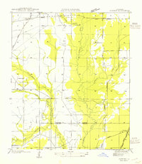 1954 Pawnee1954 Print · USGSThe timber country of Rapides and Allen Parishes is documented here at mid-century, showing a landscape defined by wood and water. Researchers can locate the Union Hill Sch, trace the old Logging Railroad grades, and find family names near Bethel Cem.
 - 1954 Map of Lake Charles, 1964 Print
 1954 Lake Charles1964 Print · USGSSouthwest Louisiana in the mid-fifties is defined by its massive petroleum industry and its complex network of bayous and rail lines. Researchers can trace the development of the Sulphur Mines Oil Field or locate historic settlements like Longville and De Quincy.3 unique versions available
 - 1968 Map of Pawnee, 1969 Print
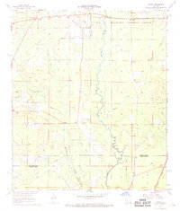 1968 Pawnee1969 Print · USGSThe border of Rapides and Allen Parish in the late sixties reveals a landscape of timber tracts and river bottoms. Researchers can trace rural lineages through sites like Melder Cem, the settlement of Union Hill, and the tracks of the Missouri Pacific.2 unique versions available
 - 1968 Map of Oakdale, 1970 Print
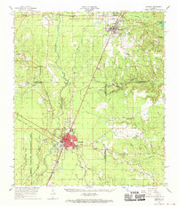 1968 Oakdale1970 Print · USGSAllen Parish and Rapides Parish intersect during a period of industrial and aviation growth in the late sixties. Genealogists and local historians can trace family sites like Osburn Willis Cem, Bethany Ch, and the rural community of Union Hill.
 - 1986 Map of Ville Platte
 1986 Ville Platte1986 Print · USGSCentral Louisiana in the 1980s reveals a complex landscape of pine forests and bayou networks spanning seven distinct parishes. Researchers can trace historic rail lines like the Atchison Topeka and Santa Fe RR and locate settlements such as Simmons Settlement, Redland, and Elizabeth.2 unique versions available
 - 2003 Map of Pawnee, 2005 Print
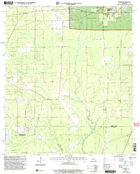 2003 Pawnee2005 Print · USGSRapides and Allen Parishes are shown at the turn of the millennium as centers of forestry and quiet rural life. Researchers can trace family roots at the Osburn Willis Cem or locate community hubs like Union Hill, Davis Crossing Ch, and the remote Pawnee settlement.
 - 2012 Map of Pawnee, 2012 Print
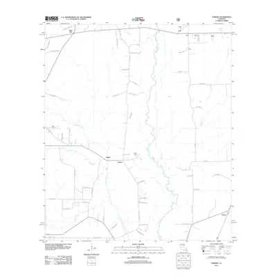 2012 Pawnee2012 Print · USGSAllen Parish timberlands and small rural communities are captured here in the early twenty-first century. Genealogists and local historians can trace family roots and old property lines via Bethel Cem, Osburn Willis Cem, and the community of Pawnee.
 - 2015 Map of Pawnee, 2015 Print
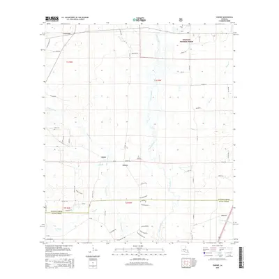 2015 Pawnee2015 Print · USGSRapides and Allen Parishes are shown in the mid-2010s, where the Calcasieu River winds through the Kisatchie National Forest. Researchers can trace rural lineages through family-named roads and sites like Melder Cem, Osburn, and Pawnee.
 - 2018 Map of Pawnee, 2018 Print
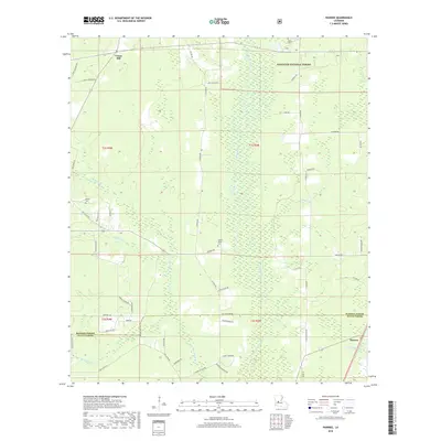 2018 Pawnee2018 Print · USGSThe timberlands and creek bottoms of central Louisiana are documented here during the late twenty-teens, showing the interface of parish boundaries and national forest. Researchers can trace family names through landmarks like Osburn Willis Cemetery and rural routes such as Sam Cloud Rd or Joe Ray Rd.
 - 2020 Map of Pawnee, 2020 Print
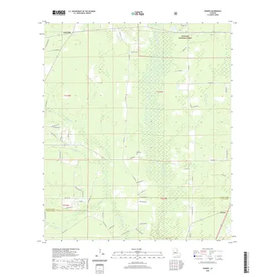 2020 Pawnee2020 Print · USGSAllen Parish and the edge of the Kisatchie National Forest are captured here in the contemporary era. Researchers can locate family landmarks like Osburn Willis Cem, Bethel Cem, and the small settlement of Union Hill along the rural roads.
 - 2024 Map of Pawnee, 2024 Print
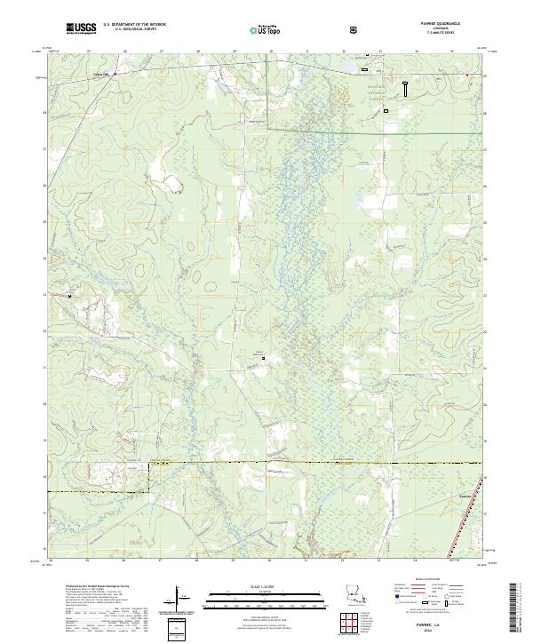 2024 Pawnee2024 Print · USGSRapides and Allen parishes are captured here in a detailed survey of the timberlands and rural settlements along the Calcasieu River. Researchers can trace local genealogy through family-named roads and historic burial sites like Bethel Cem, Osburn Willis Cem, and Melder Cem.
End of results
Showing maps 1-14 of 14
Top cities near Pawnee
- Oakdale historical maps
- Glenmora historical maps
- Lecompte historical maps
- Pine Prairie historical maps
- Elizabeth historical maps
- Forest Hill historical maps
See more
Frequently asked questions
- What are the different types of historical maps available for Pawnee?
- What is the oldest map of Pawnee?
- Where can I purchase historical maps of Pawnee for my home or office?
- Where can I download high-res historical maps of Pawnee?
- Are there historical topographic maps available for Pawnee?
- Is there historical aerial imagery available for Pawnee?
- Where are historical maps of Pawnee sourced from?